Boxwalk Coppice
Wood, Forest in Gloucestershire Cotswold
England
Boxwalk Coppice
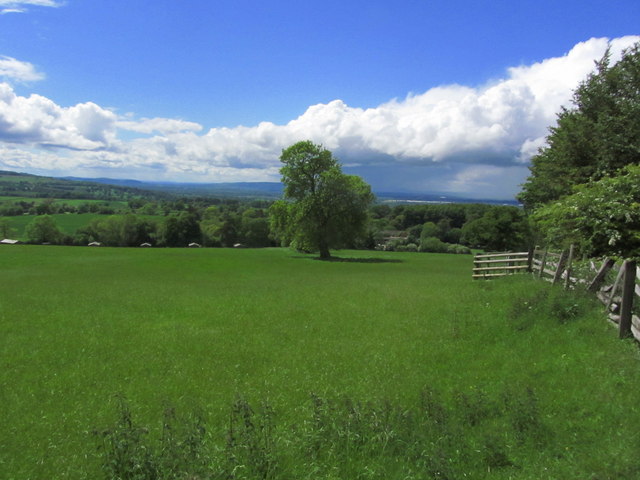
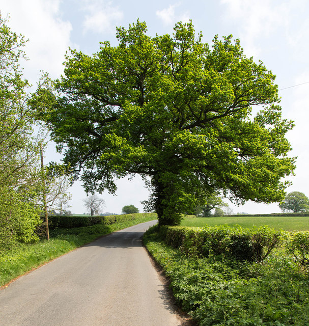
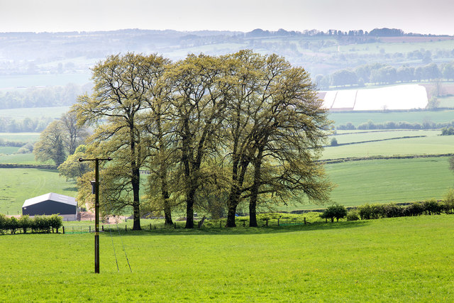
Boxwalk Coppice is a picturesque woodland located in the county of Gloucestershire, England. Situated in the heart of the Cotswolds, this enchanting forest covers an area of approximately 20 acres and is a haven for nature lovers and outdoor enthusiasts.
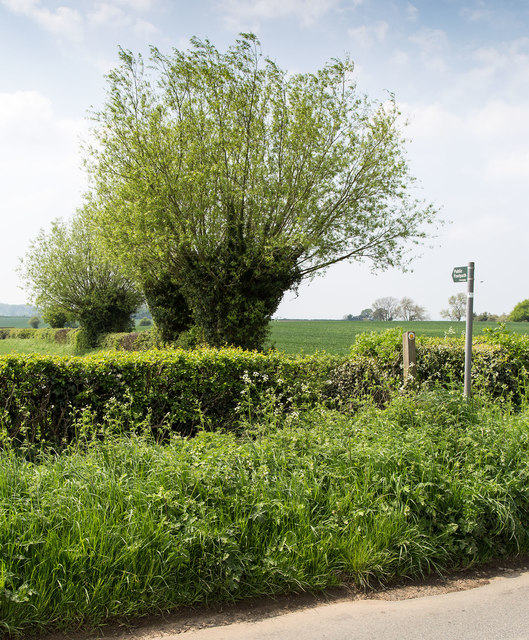
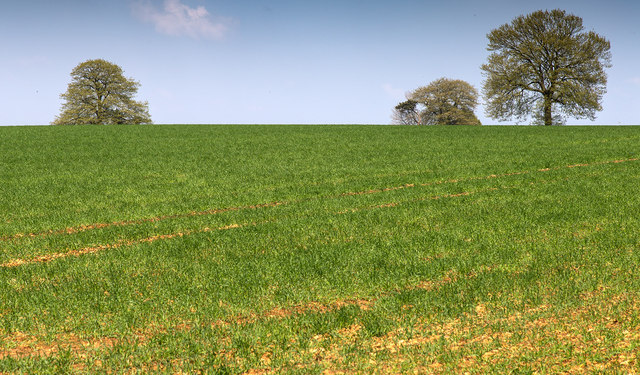
The woodland is predominantly composed of native broadleaf trees, including oak, beech, and birch, creating a diverse and vibrant ecosystem. The forest floor is adorned with a rich carpet of bluebells, wild garlic, and ferns, adding to the beauty and tranquility of the surroundings.
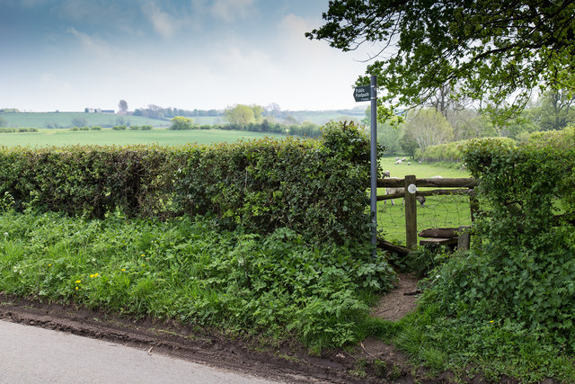
Walking through Boxwalk Coppice, visitors can enjoy a network of well-maintained trails that wind their way through the forest, offering glimpses of wildlife such as deer, foxes, and a variety of bird species. The peaceful atmosphere and the soothing sounds of rustling leaves and birdsong make it an ideal location for nature walks, birdwatching, and photography.
The woodland also holds historical significance, with remnants of ancient earthworks and boundary banks dating back to the Iron Age. These archaeological features add an extra layer of intrigue to the site, attracting history enthusiasts and archaeology buffs.
Boxwalk Coppice is open to the public year-round and is managed by local conservation organizations, ensuring the preservation of its natural beauty and biodiversity. It serves as an important habitat for a range of flora and fauna, contributing to the conservation efforts of the surrounding region.
In conclusion, Boxwalk Coppice in Gloucestershire offers visitors a tranquil escape into nature, with its stunning woodland, diverse wildlife, and fascinating historical features. It is a true gem for nature enthusiasts and a testament to the natural beauty of the Cotswolds.
If you have any feedback on the listing, please let us know in the comments section below.
Boxwalk Coppice Images
Images are sourced within 2km of 52.0853/-1.7522234 or Grid Reference SP1743. Thanks to Geograph Open Source API. All images are credited.


Boxwalk Coppice is located at Grid Ref: SP1743 (Lat: 52.0853, Lng: -1.7522234)
Administrative County: Gloucestershire
District: Cotswold
Police Authority: Gloucestershire
What 3 Words
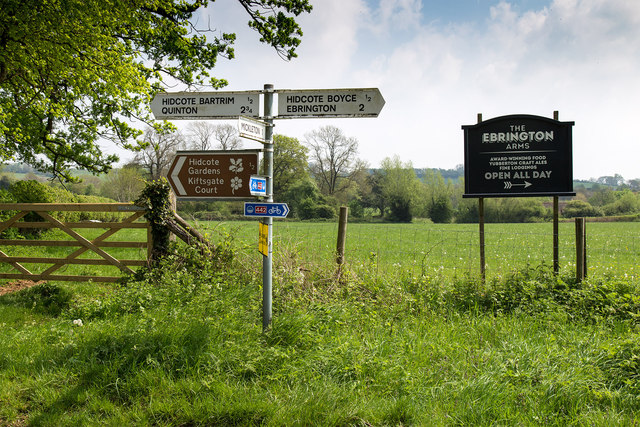
///differ.static.companies. Near Mickleton, Gloucestershire
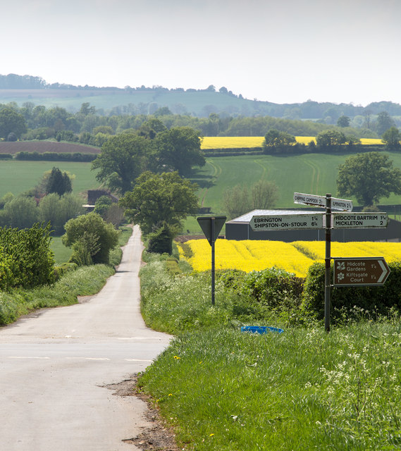
Nearby Locations
Related Wikis
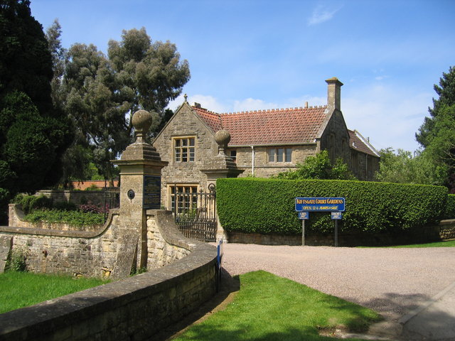
Kiftsgate Court Gardens
Kiftsgate Court Gardens is situated above the village of Mickleton in the county of Gloucestershire, England, in the far north of the county close to the...

Hidcote Manor Garden
Hidcote Manor Garden is a garden in the United Kingdom, located at the village of Hidcote Bartrim, near Chipping Campden, Gloucestershire. It is one of...
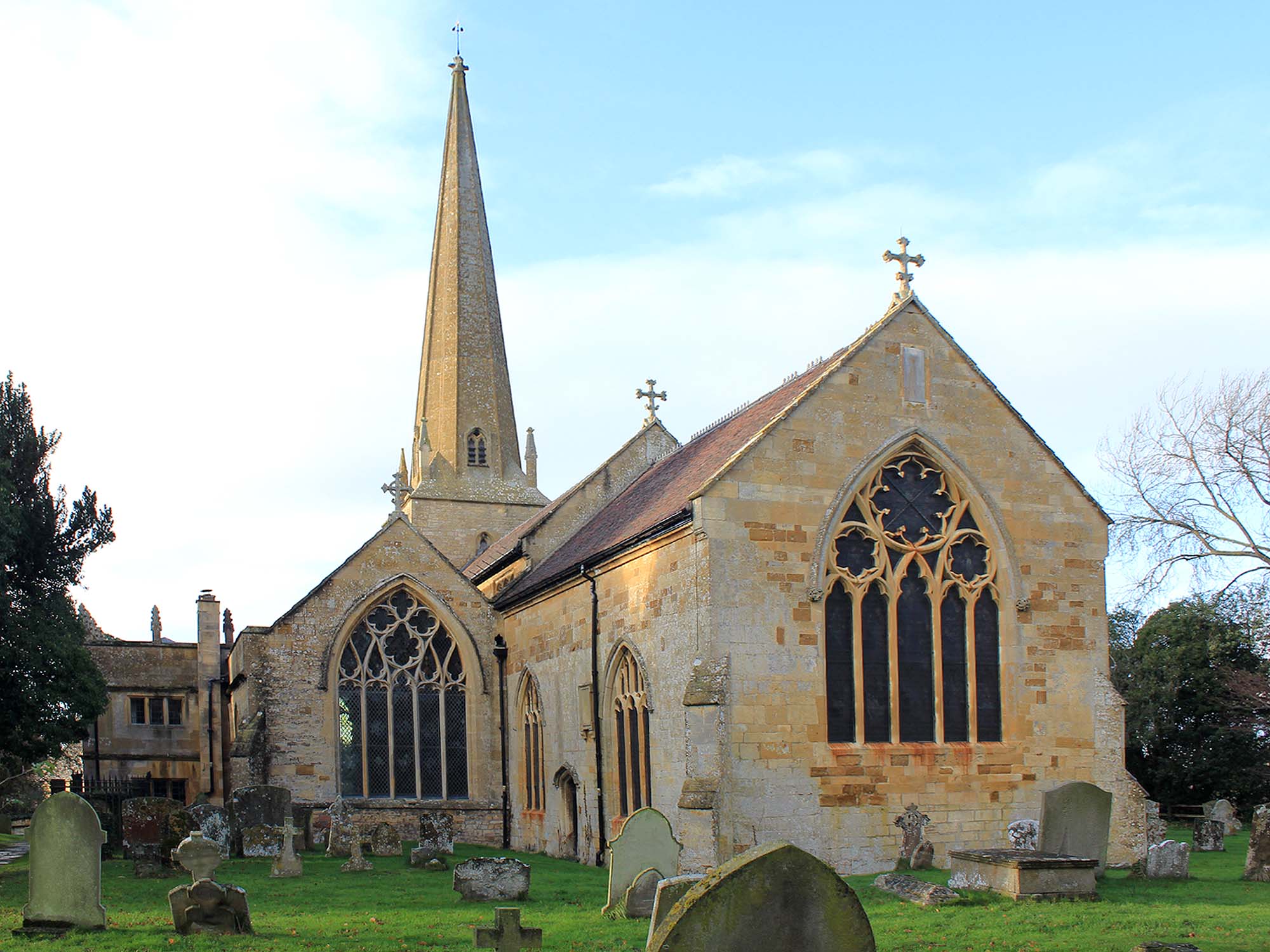
Church of St Lawrence, Mickleton
The Anglican Church of St Lawrence at Mickleton in the Cotswold District of Gloucestershire, England was built in the 12th century. It is a grade I listed...
Hidcote Bartrim
Hidcote Bartrim is a hamlet and former civil parish, now in the parish of Ebrington, in the Cotswold district of Gloucestershire, England. The nearest...

Three Ways House Hotel
Three Ways House Hotel is a hotel in Mickleton, Gloucestershire, England. Built in 1871 as a house for a doctor, the now hotel features a weekly dining...

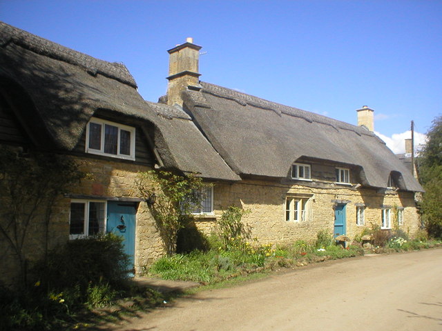
Mickleton, Gloucestershire
Mickleton is a village and civil parish in the Cotswold District of Gloucestershire, England. The village is the northernmost settlement in Gloucestershire...
Touch FM (Stratford-upon-Avon)
102 Touch FM was an Independent Local Radio station broadcasting to the town of Stratford-upon-Avon and much of the counties of Warwickshire, Worcestershire...

Ebrington Hill
Ebrington Hill is a hill in Warwickshire, England, which at 261 m (856 ft) is the highest in the county. It is situated between the villages of Ebrington...
Nearby Amenities
Located within 500m of 52.0853,-1.7522234Have you been to Boxwalk Coppice?
Leave your review of Boxwalk Coppice below (or comments, questions and feedback).