Rumby Hill
Hill, Mountain in Durham
England
Rumby Hill
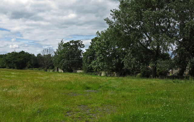
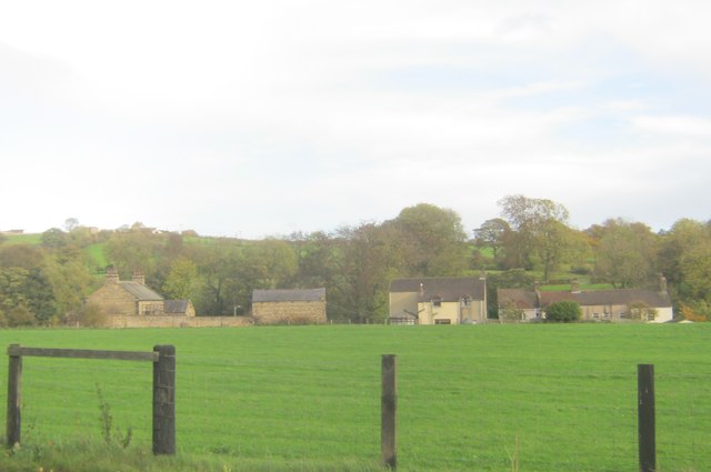
Rumby Hill is a prominent hill located in Durham, England. Situated in the northern part of the county, it forms part of the larger range of hills known as the Durham Dales. With an elevation of approximately 354 meters (1,161 feet), Rumby Hill offers stunning panoramic views of the surrounding countryside, making it a popular destination for outdoor enthusiasts and nature lovers.
The hill is characterized by its distinct conical shape, covered in lush greenery and occasional patches of heather. It is composed primarily of limestone, contributing to the unique flora and fauna found in the area. Rumby Hill is also home to several species of birds, including kestrels and peregrine falcons, which can often be seen soaring through the skies above.
The hill is easily accessible, with a network of walking trails leading to the summit. Hikers can choose from a variety of routes, ranging from gentle strolls to more challenging ascents, catering to different levels of fitness and experience. The paths are well-maintained, ensuring a safe and enjoyable journey for visitors.
At the top of Rumby Hill, there is a trig point, offering a vantage point to admire the breathtaking views of the Durham countryside, including the nearby River Wear and the city of Durham itself. On clear days, it is even possible to see the distant Pennine hills on the horizon.
Overall, Rumby Hill is a picturesque and accessible hill in Durham, providing visitors with the opportunity to immerse themselves in the natural beauty of the region and enjoy the tranquility of the countryside.
If you have any feedback on the listing, please let us know in the comments section below.
Rumby Hill Images
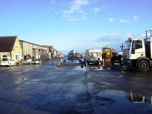
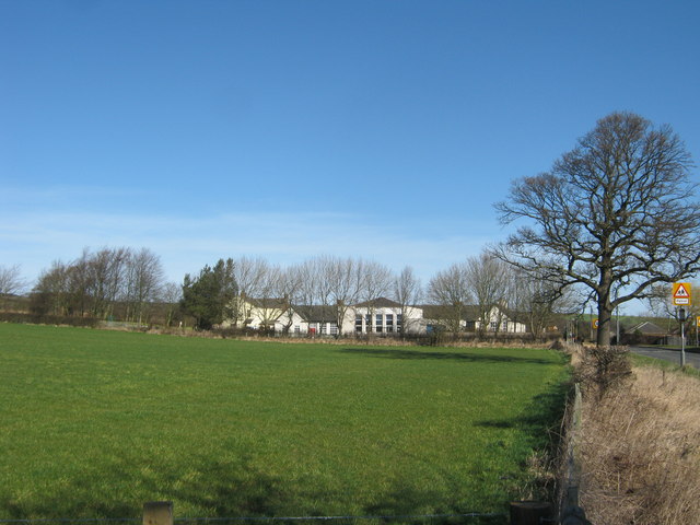
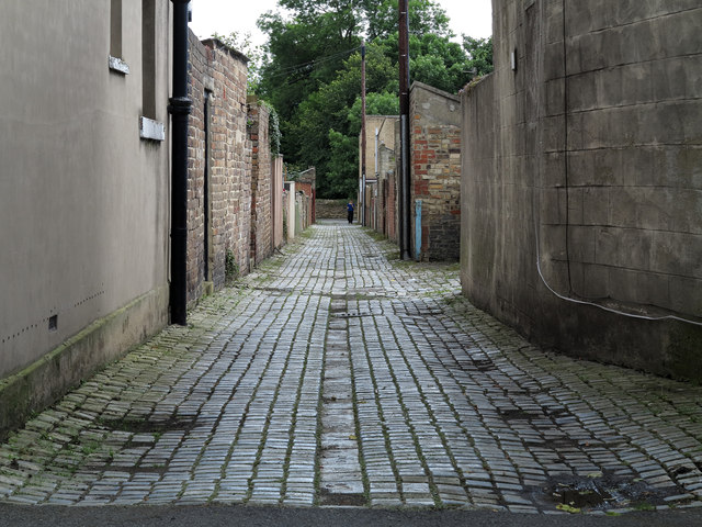
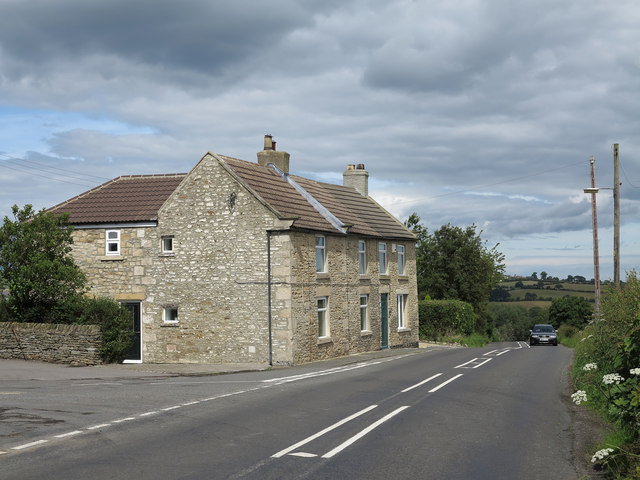
Images are sourced within 2km of 54.703003/-1.7391444 or Grid Reference NZ1634. Thanks to Geograph Open Source API. All images are credited.


Rumby Hill is located at Grid Ref: NZ1634 (Lat: 54.703003, Lng: -1.7391444)
Unitary Authority: County Durham
Police Authority: Durham
What 3 Words
///wage.danger.campsites. Near Crook, Co. Durham
Nearby Locations
Related Wikis

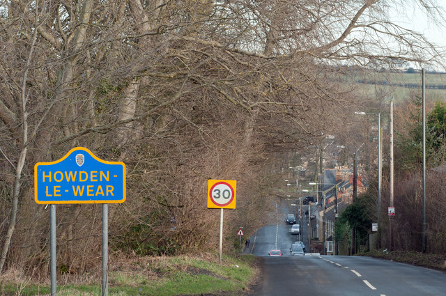
Howden-le-Wear
Howden-le-Wear is a village in County Durham, in England. Howden-le-Wear is approximately 1 mile south of the large market town of Crook. It has a number...

Beechburn railway station
Beechburn railway station served the hamlet of Low Beechburn, County Durham, England, from 1845 to 1965 on the Stanhope and Tyne Railway. == History... ==

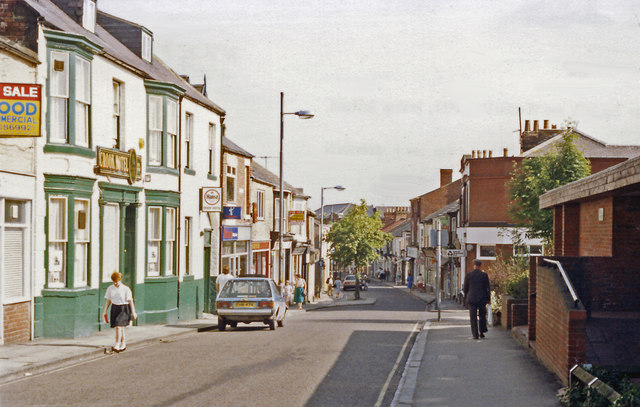
Crook, County Durham
Crook is a market town in the Durham County Council unitary authority and ceremonial county of County Durham, England. It is located on the edge of Weardale...

Crook railway station
Crook railway station served the town of Crook, County Durham, England. It was located on the Bishop Auckland and Weardale Railway line from Bishop Auckland...
Nearby Amenities
Located within 500m of 54.703003,-1.7391444Have you been to Rumby Hill?
Leave your review of Rumby Hill below (or comments, questions and feedback).