High Beechburn
Settlement in Durham
England
High Beechburn
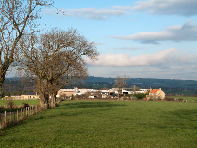
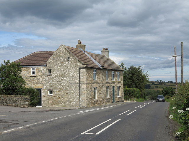
High Beechburn is a small village located in County Durham, England. Situated approximately 6 miles northwest of Durham city, it is nestled in the beautiful countryside of the North East. The village is part of the larger area known as Beechburn, which consists of both High Beechburn and Low Beechburn.
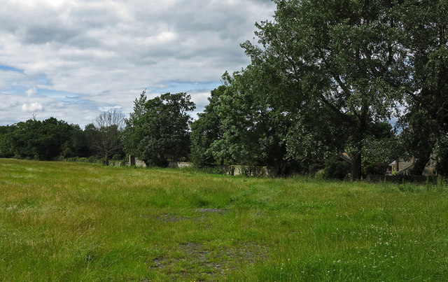
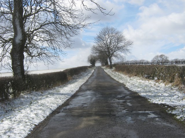
High Beechburn is a tight-knit community with a population of around 500 residents. The village is known for its peaceful and picturesque setting, surrounded by rolling hills and lush green fields. It offers a tranquil escape from the hustle and bustle of city life.
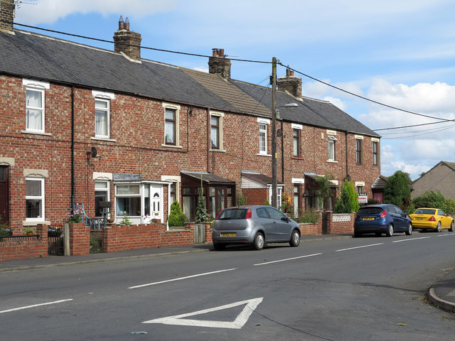
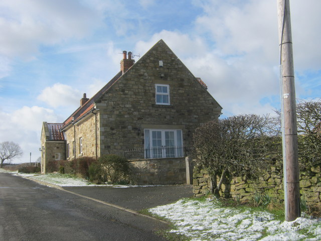
The village itself is characterized by a mixture of traditional stone-built houses and more modern developments. It has a small local shop for everyday necessities, and a welcoming community center that hosts various events and activities throughout the year. The village also boasts a primary school, providing education for the local children.
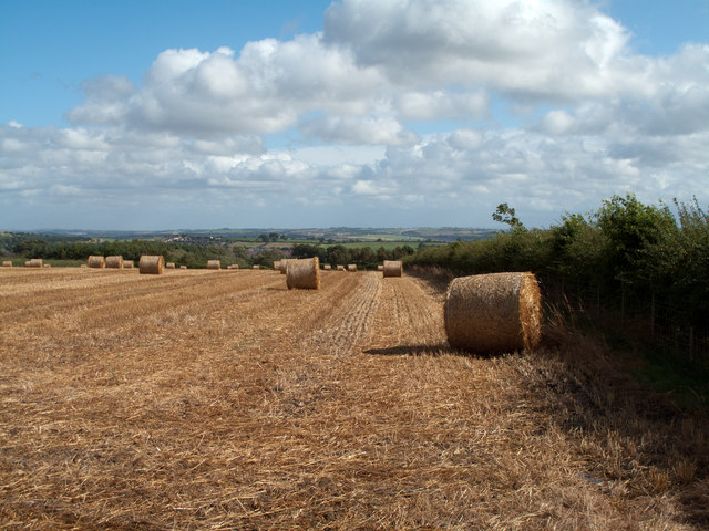
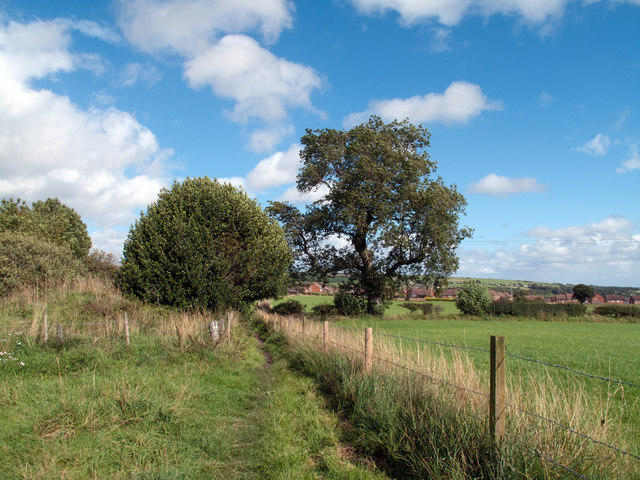
High Beechburn is surrounded by natural beauty, making it an ideal location for outdoor enthusiasts. The nearby countryside offers numerous walking and cycling routes, allowing residents to explore the stunning landscapes and enjoy panoramic views. Additionally, the village is conveniently located close to several nature reserves and parks, providing opportunities for wildlife spotting and birdwatching.
Overall, High Beechburn is a charming village that offers a peaceful and scenic lifestyle. With its close-knit community and beautiful surroundings, it provides a perfect retreat for those seeking a more rural setting in the heart of County Durham.
If you have any feedback on the listing, please let us know in the comments section below.
High Beechburn Images
Images are sourced within 2km of 54.703436/-1.7531233 or Grid Reference NZ1634. Thanks to Geograph Open Source API. All images are credited.
High Beechburn is located at Grid Ref: NZ1634 (Lat: 54.703436, Lng: -1.7531233)
Unitary Authority: County Durham
Police Authority: Durham
What 3 Words
///puppy.incorrect.nourished. Near Crook, Co. Durham
Nearby Locations
Related Wikis

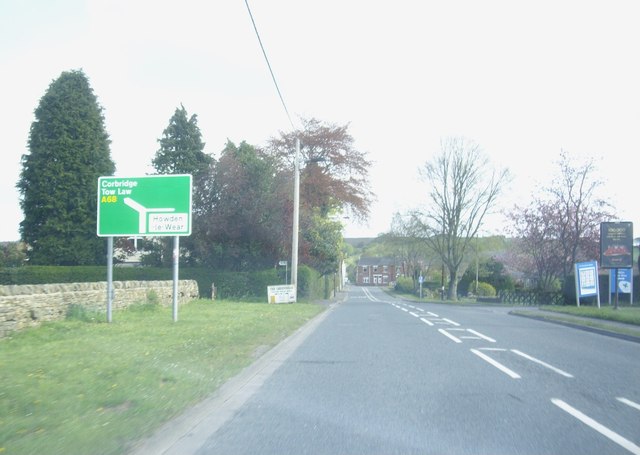
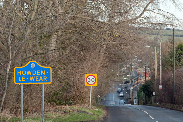
Howden-le-Wear
Howden-le-Wear is a village in County Durham, in England. Howden-le-Wear is approximately 1 mile south of the large market town of Crook. It has a number...

Crook, County Durham
Crook is a market town in the district and ceremonial county of County Durham, England. The town is located on the edge of Weardale and is sometimes referred...

Beechburn railway station
Beechburn railway station served the hamlet of Low Beechburn, County Durham, England, from 1845 to 1965 on the Stanhope and Tyne Railway. == History... ==

Crook Town A.F.C.
Crook Town Association Football Club is a football club based in Crook, County Durham, England. They are currently members of the Northern League Division...
Crook railway station
Crook railway station served the town of Crook, County Durham, England. It was located on the Bishop Auckland and Weardale Railway line from Bishop Auckland...
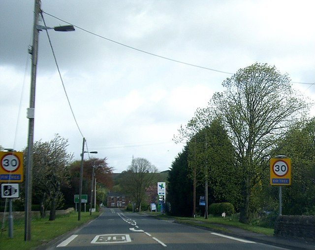
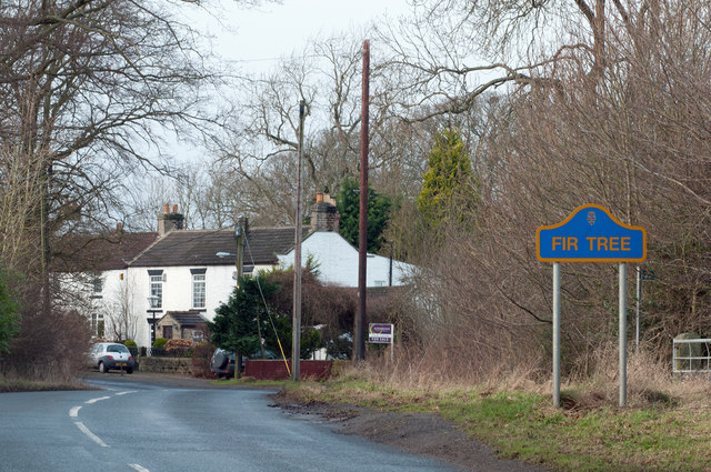
Fir Tree, County Durham
Fir Tree is a village in County Durham, in England. It is west of Crook, near the River Wear. Fir Tree has a petrol station and two pubs: The Duke of York...
North Bitchburn
North Bitchburn is a small village in County Durham, England. It is situated 3 miles (4.8 km) north west of Bishop Auckland, near Howden-le-Wear. In the...

Helmington Row
Helmington Row is a small village in County Durham, England. It is situated between Crook and Willington, about 7 miles south-west of Durham and 3 miles...
Nearby Amenities
Located within 500m of 54.703436,-1.7531233Have you been to High Beechburn?
Leave your review of High Beechburn below (or comments, questions and feedback).