Harry's Hill
Hill, Mountain in Northumberland
England
Harry's Hill
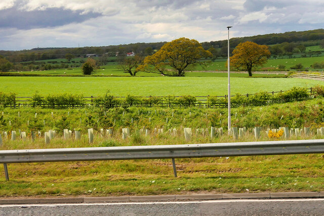
Located in Northumberland, England, Harry's Hill is a prominent geographical feature known for its breathtaking landscapes and historical significance. Standing at an impressive height of 338 meters, it is widely recognized as one of the region's most prominent hills. Situated near the village of Rothbury, it offers visitors unparalleled panoramic views of the surrounding countryside.
The hill's name is believed to have originated from an old folklore tale about a local farmer named Harry who used to graze his sheep on its slopes. Harry's Hill is composed mainly of sandstone, giving it a distinctive reddish hue that becomes even more vibrant during sunset. Its slopes are covered with lush green vegetation, including heather, grass, and wildflowers, making it a picturesque destination for nature enthusiasts.
Aside from its natural beauty, Harry's Hill holds historical significance as well. It is home to several ancient burial mounds, or barrows, which date back to the Bronze Age. These burial sites provide valuable insights into the area's prehistoric inhabitants and their burial customs.
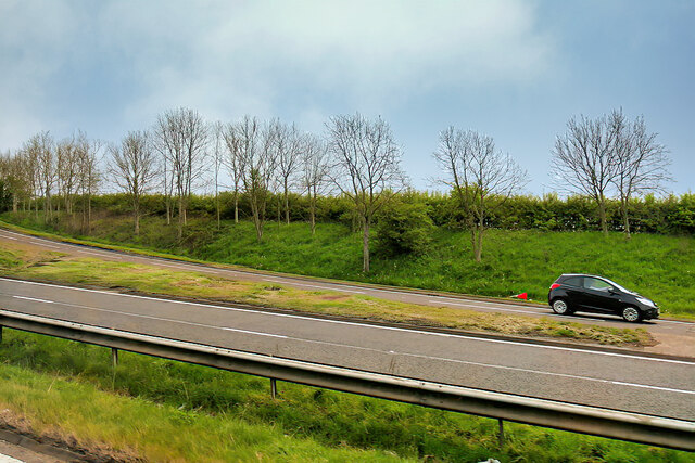
Visitors to Harry's Hill can enjoy various recreational activities such as hiking, picnicking, and birdwatching. The hill's well-maintained footpaths and trails make it easily accessible for people of all ages and fitness levels. The surrounding area is also rich in wildlife, with sightings of birds of prey, rabbits, and deer being common.
In conclusion, Harry's Hill is a captivating natural landmark in Northumberland that offers visitors a chance to immerse themselves in scenic beauty while exploring the region's ancient history. Whether it's for a peaceful hike or to admire the breathtaking views, this hill is a must-visit destination for nature lovers and history enthusiasts alike.
If you have any feedback on the listing, please let us know in the comments section below.
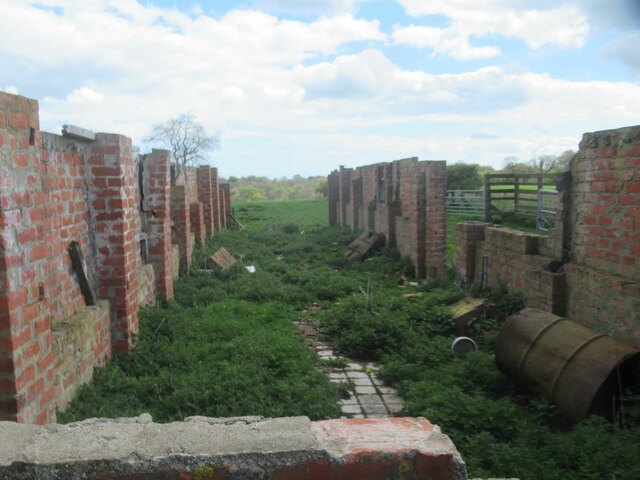
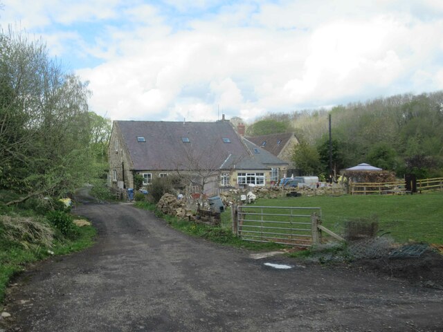
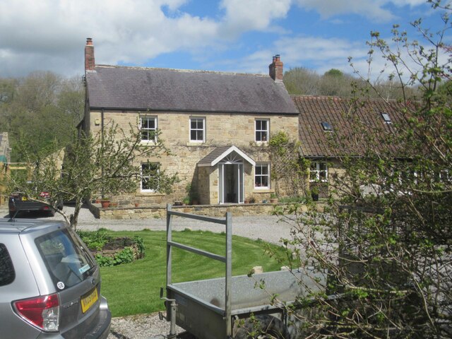
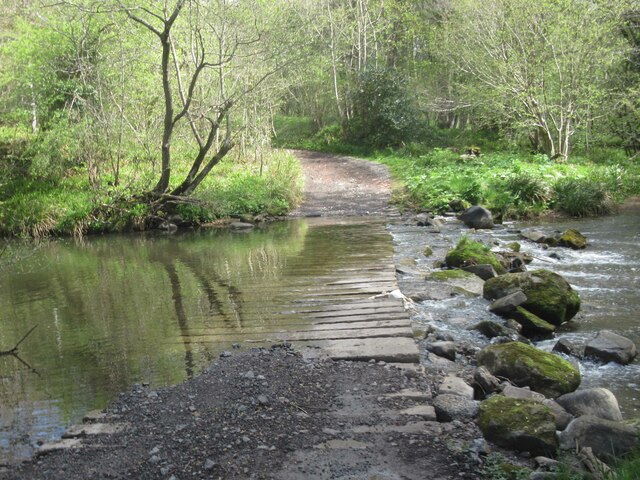
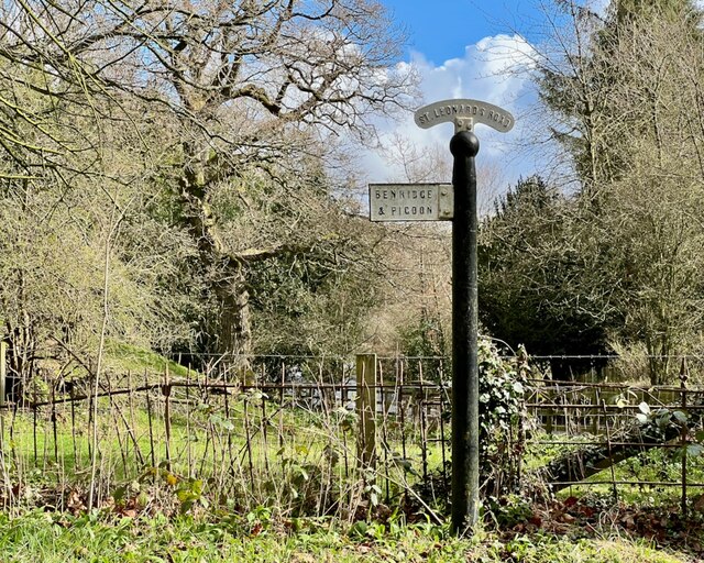
Harry's Hill Images
Images are sourced within 2km of 55.176108/-1.7373073 or Grid Reference NZ1686. Thanks to Geograph Open Source API. All images are credited.


Harry's Hill is located at Grid Ref: NZ1686 (Lat: 55.176108, Lng: -1.7373073)
Unitary Authority: Northumberland
Police Authority: Northumbria
What 3 Words
///polar.face.debut. Near Morpeth, Northumberland
Nearby Locations
Related Wikis
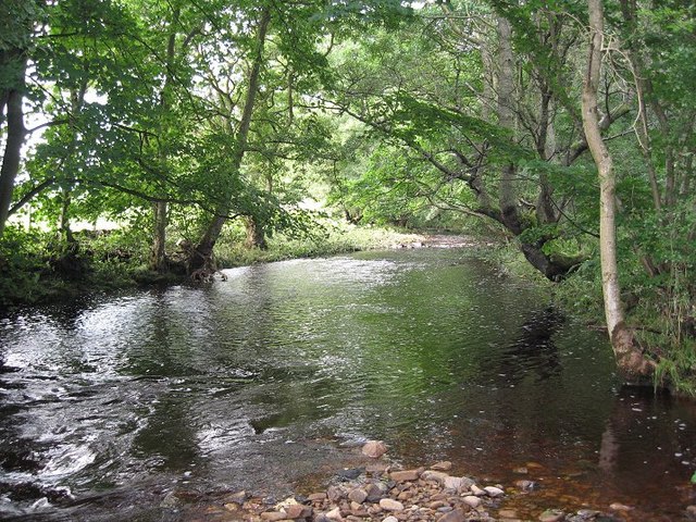
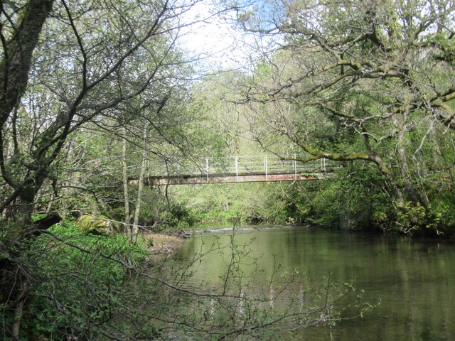
River Font
The River Font is a river that flows through Northumberland, England. The river is a tributary of the River Wansbeck which it joins at Mitford. == References... ==

Mitford, Northumberland
Mitford is a village in Northumberland, England, located 2 miles (3 km) west of Morpeth. == History == Although the foundation of Mitford is unknown, it...

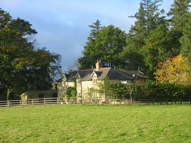
Mitford Old Manor House
Mitford Old Manor House is an historic English manor house at Mitford, Northumberland, and is a Grade II* listed building. The Manor of Mitford was held...
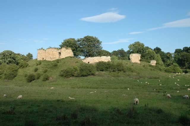
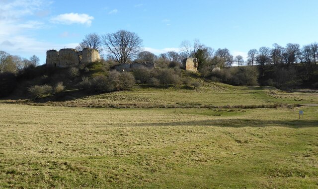
Mitford Castle
Mitford Castle is an English castle dating from the end of the 11th century and located at Mitford, Northumberland. It is a Scheduled Ancient Monument...

Mitford Hall
Mitford Hall is a Georgian mansion house and Grade II* listed building standing in its own 85-acre (34 ha) park overlooking the River Wansbeck at Mitford...
Pigdon
Pigdon is a hamlet and former civil parish 3 miles (4.8 km) from Morpeth, now in the parish of Meldon, in the county of Northumberland, England. In 1951...

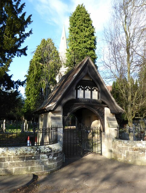
Newminster Abbey
Newminster Abbey was a Cistercian abbey in Northumberland in the north of England. The site is protected by Grade II listed building and Scheduled Ancient...
Bullers Green
Bullers Green is a part of the town of Morpeth and former civil parish, Northumberland, England. In 1881 the parish had a population of 346. == Governance... ==
Nearby Amenities
Located within 500m of 55.176108,-1.7373073Have you been to Harry's Hill?
Leave your review of Harry's Hill below (or comments, questions and feedback).