Balmer Hill

Hill, Mountain in Durham

England

Balmer Hill

Gainford War Memorial and Church Gainford War Memorial and St Mary's Church.

St Mary's consists of a nave, aisles, chancels and a square west tower that is open to the nave and supported by pointed arches, similar to the ones, resting on cylindrical pillars that separate the nave and aisles. This graceful arch is repeated in the opening to the chancel and in the three lancet stained glass windows at the east end.

During much need repairs in 1864, a number of pre-Conquest sculptured stones were found and placed under cover. Several fragments of fine Saxon crosses are also preserved, some of which are beautifully carved. Among the collection of ancient stones there is a Roman altar. Various grave covers, and other stones of later date, are built into the walls of the north porch.

The 13th century font has a tall wooden Jacobean style cover, and there are three medieval brasses in the chancel.
Gainford War Memorial and Church Credit: Colin Kinnear

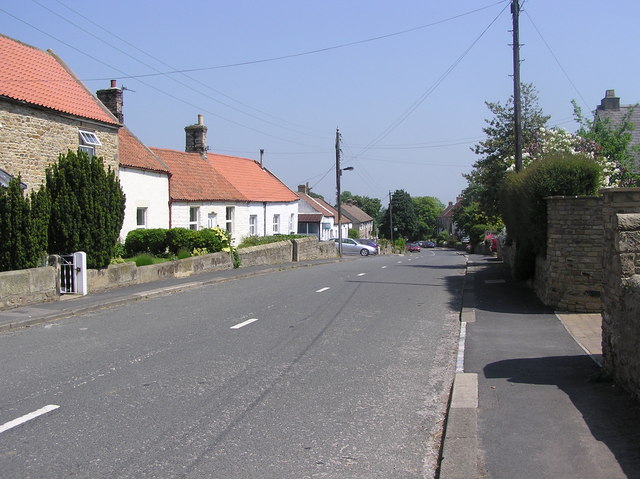
Balmer Hill is a prominent geographical feature located in Durham, a county in the northeast of England. It is classified as a hill or mountain, depending on one's perspective, as its elevation reaches a peak of approximately 266 meters (873 feet) above sea level. The hill is situated near the village of Witton Gilbert, about 4 miles northwest of Durham city center.

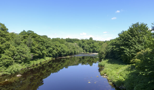
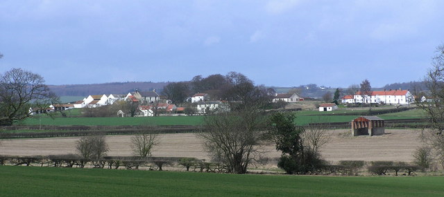
Balmer Hill offers stunning panoramic views of the surrounding countryside, including the picturesque River Wear valley. Its prominent position provides an excellent vantage point for observing the natural beauty of the region, with rolling hills, lush green fields, and wooded areas stretching as far as the eye can see.

The hill is a popular destination for outdoor enthusiasts, attracting hikers, walkers, and nature lovers. It is crisscrossed by a network of footpaths and trails, allowing visitors to explore the area and enjoy the tranquility of the countryside. The terrain is varied, ranging from gentle slopes to steeper inclines, providing a range of difficulty levels for different abilities.

The summit of Balmer Hill features a trig point, a pillar-like structure used in surveying, which adds a point of interest for those reaching the top. The hill is also home to a diverse range of plant and animal species, making it an important site for wildlife conservation.

Overall, Balmer Hill is a natural gem in Durham, offering breathtaking views, recreational opportunities, and a chance to connect with nature in a peaceful and serene environment. Whether for leisurely walks, challenging hikes, or simply enjoying the beauty of the landscape, Balmer Hill is a must-visit destination for those exploring the Durham area.

If you have any feedback on the listing, please let us know in the comments section below.
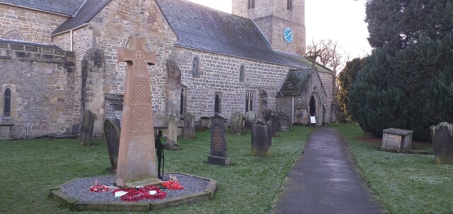
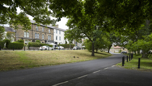
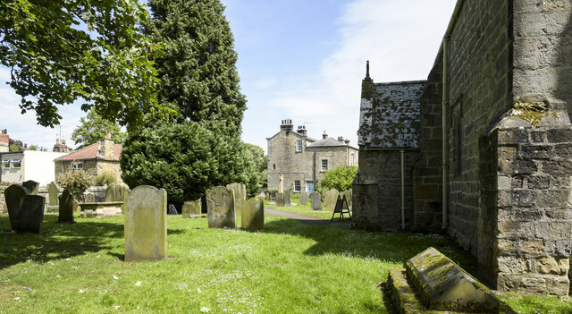
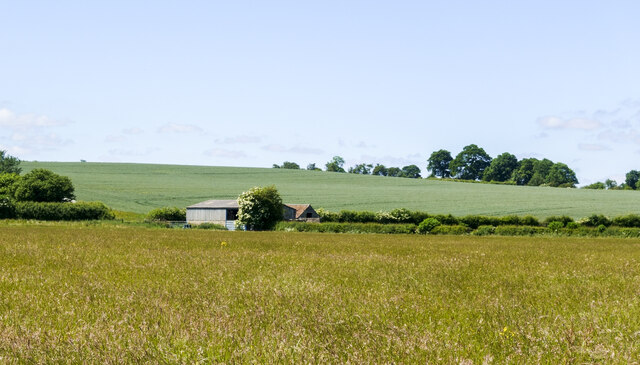
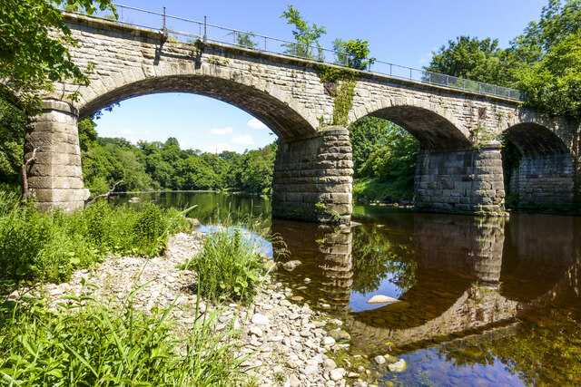
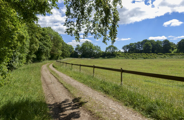
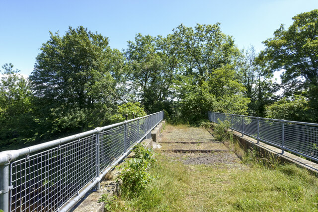
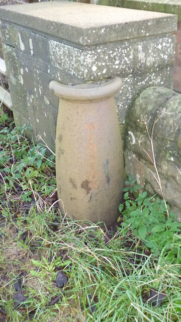
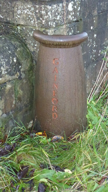
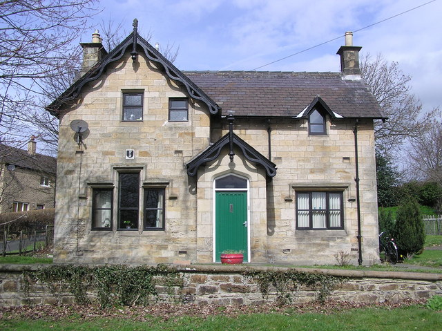
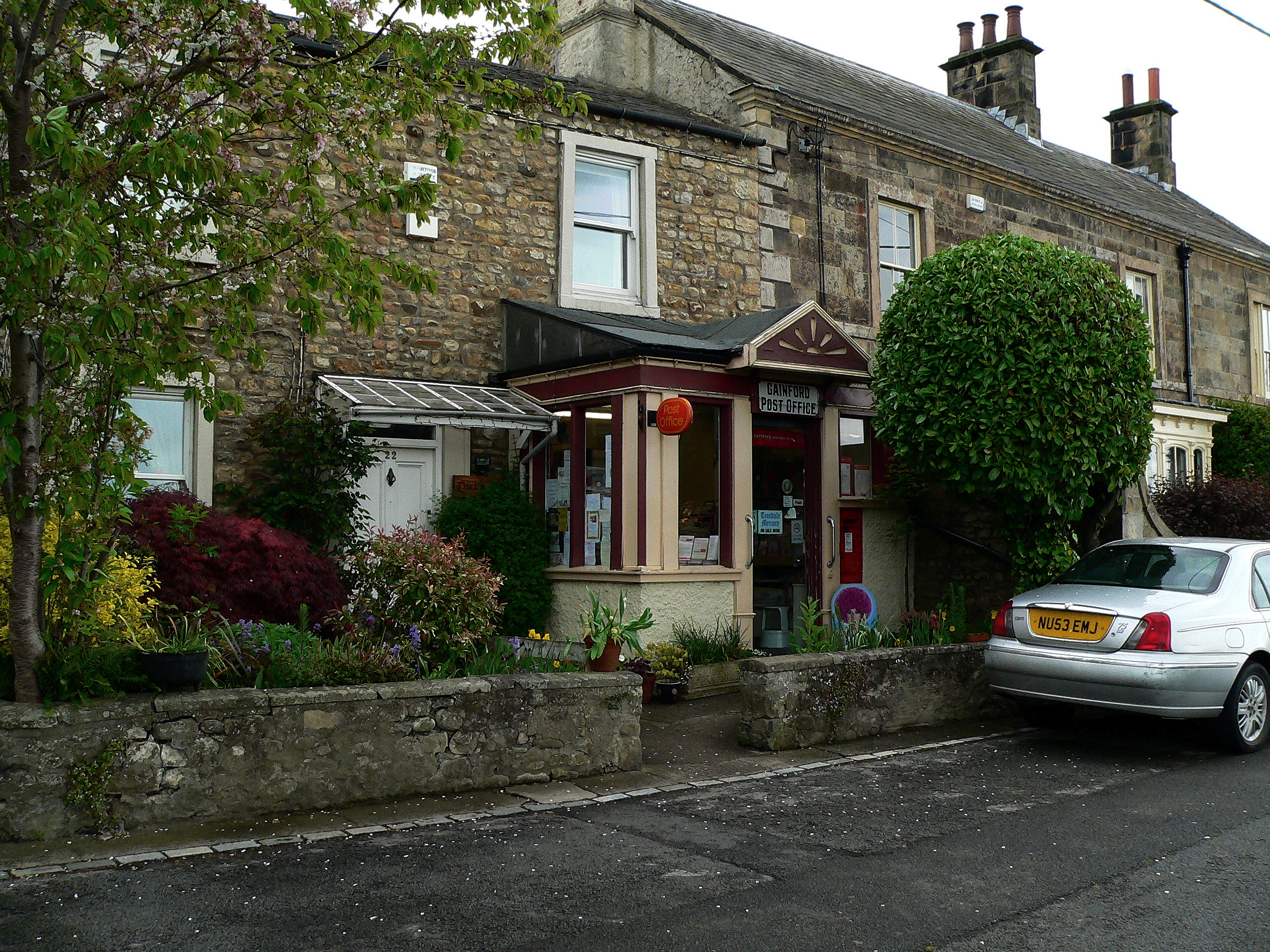
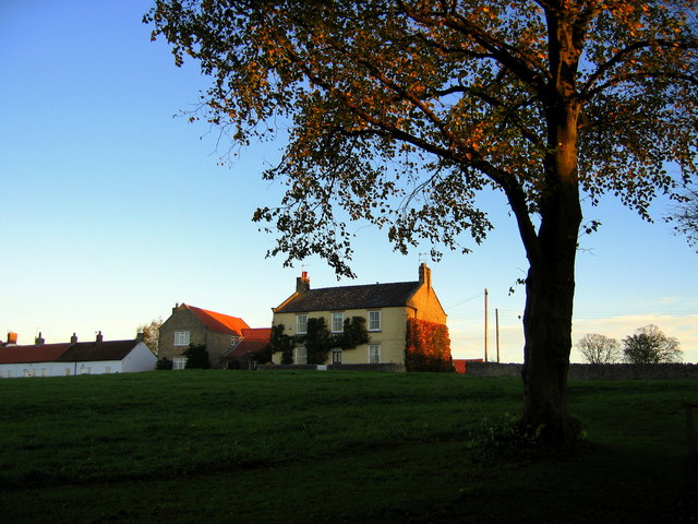
Balmer Hill Images

Images are sourced within 2km of 54.550368/-1.7414941 or Grid Reference NZ1617. Thanks to Geograph Open Source API. All images are credited.

Gainford War Memorial and Church Gainford War Memorial and St Mary's Church.

St Mary's consists of a nave, aisles, chancels and a square west tower that is open to the nave and supported by pointed arches, similar to the ones, resting on cylindrical pillars that separate the nave and aisles. This graceful arch is repeated in the opening to the chancel and in the three lancet stained glass windows at the east end.

During much need repairs in 1864, a number of pre-Conquest sculptured stones were found and placed under cover. Several fragments of fine Saxon crosses are also preserved, some of which are beautifully carved. Among the collection of ancient stones there is a Roman altar. Various grave covers, and other stones of later date, are built into the walls of the north porch.

The 13th century font has a tall wooden Jacobean style cover, and there are three medieval brasses in the chancel.
Gainford War Memorial and Church
Gainford War Memorial and St Mary's Church. St Mary's consists of a nave, aisles, chancels and a square west tower that is open to the nave and supported by pointed arches, similar to the ones, resting on cylindrical pillars that separate the nave and aisles. This graceful arch is repeated in the opening to the chancel and in the three lancet stained glass windows at the east end. During much need repairs in 1864, a number of pre-Conquest sculptured stones were found and placed under cover. Several fragments of fine Saxon crosses are also preserved, some of which are beautifully carved. Among the collection of ancient stones there is a Roman altar. Various grave covers, and other stones of later date, are built into the walls of the north porch. The 13th century font has a tall wooden Jacobean style cover, and there are three medieval brasses in the chancel.
Prominent tree in field of grain The field which probably has a crop of barley, lies to the west of a road junction on Ford Dike Lane.
The road sign at the junction is an old one, cast in iron.
Prominent tree in field of grain
The field which probably has a crop of barley, lies to the west of a road junction on Ford Dike Lane. The road sign at the junction is an old one, cast in iron.
Grassy slope above Low Green and Low Road There are several areas of green in Gainford. The main village green is behind the camera position; Low Green is to the right of the nearer iron bollards. Low Road passes through the centre of the image.
Grassy slope above Low Green and Low Road
There are several areas of green in Gainford. The main village green is behind the camera position; Low Green is to the right of the nearer iron bollards. Low Road passes through the centre of the image.
North Lane entering Gainford Many towns and villages in County Durham have their roadside name signs in a yellow text on a blue background; occasionally, as here, the name is incorporated into the speed limit signing.
North Lane entering Gainford
Many towns and villages in County Durham have their roadside name signs in a yellow text on a blue background; occasionally, as here, the name is incorporated into the speed limit signing.
River Tees flowing downstream near Gainford The Tees, west of Gainford from just below the path used as the route of the Teesdale Way.
River Tees flowing downstream near Gainford
The Tees, west of Gainford from just below the path used as the route of the Teesdale Way.
Gravestones on north side of church Monuments on the north side of St. Mary's Church in Gainford.
Gravestones on north side of church
Monuments on the north side of St. Mary's Church in Gainford.
Wheel lanes through barley crop The lines created by the passage of a tractor, presumably for cultivation purposes, through ripening barley in a field north-east of Gainford.
Wheel lanes through barley crop
The lines created by the passage of a tractor, presumably for cultivation purposes, through ripening barley in a field north-east of Gainford.
Two barns between fields The barns which are alongside a lane, viewed across a field with what is presumably a crop awaiting harvest.
Two barns between fields
The barns which are alongside a lane, viewed across a field with what is presumably a crop awaiting harvest.
River Tees flowing beneath West Tees Bridge The bridge carried the branch of the North Eastern Railway connecting Darlington to Barnard Castle. The structure appears to be intact and is passed by the long distance footpath, Teesdale Way. There's no official access to the bridge and there's a metal palisade fence at each end, but individual pieces have been removed.
River Tees flowing beneath West Tees Bridge
The bridge carried the branch of the North Eastern Railway connecting Darlington to Barnard Castle. The structure appears to be intact and is passed by the long distance footpath, Teesdale Way. There's no official access to the bridge and there's a metal palisade fence at each end, but individual pieces have been removed.
Curving road on south side of River Tees The road is also a public footpath which in places passes through grassed fields where it's just a fairly thin trace; that contrasts with the north side path which is well walked and is the route of the Teesdale Way.
Curving road on south side of River Tees
The road is also a public footpath which in places passes through grassed fields where it's just a fairly thin trace; that contrasts with the north side path which is well walked and is the route of the Teesdale Way.
Former railway route over West Tees Bridge The bridge carried the branch of the North Eastern Railway connecting Darlington to Barnard Castle. The railway company had to cross the River Tees twice near to Gainford in order to  avoid passing through Selaby Park on the river's north side.
The bridge is fenced off at both the north and south ends but it's possible to get past those barriers as sections are missing.
Former railway route over West Tees Bridge
The bridge carried the branch of the North Eastern Railway connecting Darlington to Barnard Castle. The railway company had to cross the River Tees twice near to Gainford in order to avoid passing through Selaby Park on the river's north side. The bridge is fenced off at both the north and south ends but it's possible to get past those barriers as sections are missing.
River Tees upstream from old railway bridge The image was recorded from the West Tees Bridge which carried the branch of the North Eastern Railway connecting Darlington with Barnard Castle. The railway company had to construct two bridges over the Tees near to Gainford in order to avoid passing through Selaby Park on the river's north side.
The bridge is fenced off at both its  north and south ends but it's possible to get past those barriers as sections are missing.
River Tees upstream from old railway bridge
The image was recorded from the West Tees Bridge which carried the branch of the North Eastern Railway connecting Darlington with Barnard Castle. The railway company had to construct two bridges over the Tees near to Gainford in order to avoid passing through Selaby Park on the river's north side. The bridge is fenced off at both its north and south ends but it's possible to get past those barriers as sections are missing.
Not so old Boundary Marker on the A67 between Winston and Gainford The Winston marker is at the west end and the Gainford marker is at the east end of the parapet of the Alwent Beck bridge on the south side of the A67. In Winston parish and inscribed WINSTON vertically. A list of the boundary markers can be found here <span class="nowrap"><a title="https://1drv.ms/w/s!Apt1XW0zY8DDgcFsnkpupbpYSiiVEQ?e=TaoW1W" rel="nofollow ugc noopener" href="https://1drv.ms/w/s!Apt1XW0zY8DDgcFsnkpupbpYSiiVEQ?e=TaoW1W">Link</a><img style="margin-left:2px;" alt="External link" title="External link - shift click to open in new window" src="https://s1.geograph.org.uk/img/external.png" width="10" height="10"/></span>. Read "Marking Parish Boundaries Along the Teesdale Way" ISBN 0 9520624 2 9.

Milestone Society National ID: DU_TEES01pb
Not so old Boundary Marker on the A67 between Winston and Gainford
The Winston marker is at the west end and the Gainford marker is at the east end of the parapet of the Alwent Beck bridge on the south side of the A67. In Winston parish and inscribed WINSTON vertically. A list of the boundary markers can be found here LinkExternal link. Read "Marking Parish Boundaries Along the Teesdale Way" ISBN 0 9520624 2 9. Milestone Society National ID: DU_TEES01pb
Not so old Boundary Marker on the A67 between Winston and Gainford The Winston marker is at the east end and the Gainford marker is at the east end of the parapet of the Alwent Beck bridge on the south side of the A67. In Gainford parish and inscribed GAINFORD vertically. A list of the boundary markers can be found here <span class="nowrap"><a title="https://1drv.ms/w/s!Apt1XW0zY8DDgcFsnkpupbpYSiiVEQ?e=TaoW1W" rel="nofollow ugc noopener" href="https://1drv.ms/w/s!Apt1XW0zY8DDgcFsnkpupbpYSiiVEQ?e=TaoW1W">Link</a><img style="margin-left:2px;" alt="External link" title="External link - shift click to open in new window" src="https://s1.geograph.org.uk/img/external.png" width="10" height="10"/></span>. Read "Marking Parish Boundaries Along the Teesdale Way" ISBN 0 9520624 2 9.

Milestone Society National ID: DU_TEES01pb
Not so old Boundary Marker on the A67 between Winston and Gainford
The Winston marker is at the east end and the Gainford marker is at the east end of the parapet of the Alwent Beck bridge on the south side of the A67. In Gainford parish and inscribed GAINFORD vertically. A list of the boundary markers can be found here LinkExternal link. Read "Marking Parish Boundaries Along the Teesdale Way" ISBN 0 9520624 2 9. Milestone Society National ID: DU_TEES01pb
Gainford, Boat Lane According to the OS benchmark database there is a concrete gatepost with a benchmark on the left of the entrance to Low Fields. There is no visible gatepost, and the hedge is so thick I was unable to determine if the gatepost may still be present.
Gainford, Boat Lane
According to the OS benchmark database there is a concrete gatepost with a benchmark on the left of the entrance to Low Fields. There is no visible gatepost, and the hedge is so thick I was unable to determine if the gatepost may still be present.
Gainford, Boat Lane The pivot benchmark is cut into a large stone on the west side of Boat Lane.
Gainford, Boat Lane
The pivot benchmark is cut into a large stone on the west side of Boat Lane.
Gainford, Boat Lane There is a pivot benchmark cut into a large stone on the west side of Boat Lane. Boat Lane is on the south side of the River Tees, and in the background is Gainford, on the north side of the River Tees.
Gainford, Boat Lane
There is a pivot benchmark cut into a large stone on the west side of Boat Lane. Boat Lane is on the south side of the River Tees, and in the background is Gainford, on the north side of the River Tees.
Gainford, Boat Lane The benchmark is cut into a large stone on the lowest course of a drystone wall on the west side of the lane, as approaching the south bank of the River Tees.
Gainford, Boat Lane
The benchmark is cut into a large stone on the lowest course of a drystone wall on the west side of the lane, as approaching the south bank of the River Tees.
Show me another place!

Balmer Hill is located at Grid Ref: NZ1617 (Lat: 54.550368, Lng: -1.7414941)

Unitary Authority: County Durham

Police Authority: Durham

What 3 Words

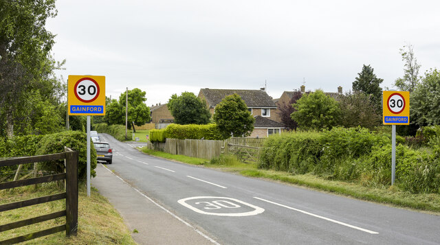
///mouth.obtain.orange. Near Gainford, Co. Durham

Related Wikis

Gainford railway station

Gainford railway station is a disused station in Gainford, County Durham, North East England, on the Darlington and Barnard Castle Railway. On 24 October...

Gainford Hall

Gainford Hall is a privately owned Jacobean manor house at Gainford, County Durham. It is a Grade I listed building but as of 2014 is registered as a Building...

Gainford, County Durham

Gainford or Gainford on Tees is a village on the north bank of the River Tees in County Durham, England. It is half-way between Barnard Castle and Darlington...

Barforth

Barforth is a civil parish in the Teesdale district of County Durham, England, near Gainford. According to the 2001 census the parish had a population...

Headlam

Headlam is a village in the borough of Darlington and the ceremonial county of County Durham, England. It lies to the west of Darlington. The population...

Headlam Hall

Headlam Hall is a 17th-century country house at The Green, Headlam, near Gainford, County Durham, England. It is a Grade II* listed building now in use...

Langton, County Durham

Langton is a village and civil parish in County Durham, in England. It is situated to the west of Darlington, near Headlam and Ingleton. The population...

Winston, County Durham

Winston is a village and civil parish in County Durham, England. It is situated approximately 6 miles (9.7 km) east of Barnard Castle, on a crossroads...

Related Videos

Christmas Film 2018!

A small film I made from today when we got our Christmas Tree and put up our Christmas Decorations! Credit to Stormzy (ft.

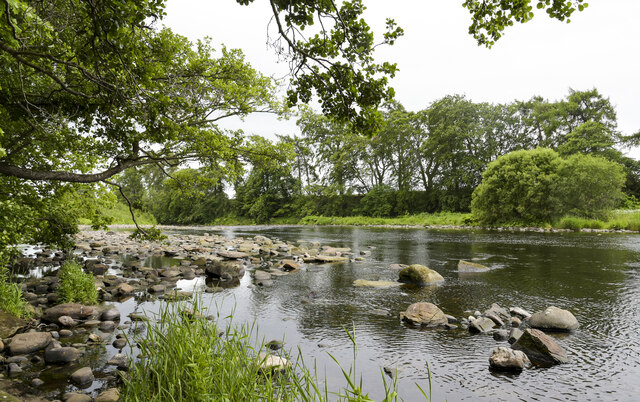
Hydrospeeding in Action | Hydrospeeding UK

Watch our hydrospeeding group take on the rapids of the River Tees in the Northeast of England! Hydrospeeding UK is proud to ...

Hydrospeeding Demonstration on the River Tees in the North East

We spent a fantastic day on the river, which was full and showing some great white water! This clip shows one of our ...

Hydrospeeding in Slow Motion Down the River Tees

Wait for it! One of our instructors at Hydrospeeding UK demonstrates the correct way to hydrospeed down the rapids on the River ...

Nearby Amenities

Located within 500m of 54.550368,-1.7414941
Spar
Brand: Spar
Brand Wikidata: Q610492
Shop: convenience
Lat/Long: 54.5479476/-1.7378313
Pub
The Cross Keys
Addr City: Darlington
Addr Housenumber: 1
Addr Postcode: DL2 3DN
Addr Street: High Row
Fhrs Id: 655297
Phone: +44 1325 730237
Lat/Long: 54.5468284/-1.7384341
Gainford
Abandoned Railway: station
Railway: site
Source: NPE
Wikidata: Q30642948
Wikimedia Commons: File:Station House , Gainford. - geograph.org.uk - 148078.jpg
Wikipedia: en:Gainford railway station
Lat/Long: 54.5486805/-1.7377101
Gainford
Place: village
Wikidata: Q2298952
Wikipedia: en:Gainford, County Durham
Lat/Long: 54.5463647/-1.7379864
Bus Stop
Spa Road
Naptan AtcoCode: 13007705C
Naptan Bearing: E
Naptan CommonName: Spa Road
Naptan Indicator: east bound
Naptan Landmark: Landmark not known
Naptan NaptanCode: durdwtgp
Naptan Notes: Outside 2 Spa Road (A67)- Gainford
Naptan Street: Street not known
Naptan Verified: no
Source: naptan_import
Lat/Long: 54.5473929/-1.7384466
Bus Stop
Spa Road
Naptan AtcoCode: 13007705G
Naptan Bearing: W
Naptan CommonName: Spa Road
Naptan Indicator: west bound
Naptan Landmark: Landmark not known
Naptan NaptanCode: durdwtgt
Naptan Notes: SW of 2 Spa Road (A67)- Gainford
Naptan Street: Street not known
Naptan Verified: no
Source: naptan_import
Lat/Long: 54.5473489/-1.7388642
Turning Circle
Lat/Long: 54.5488931/-1.7343842
Turning Circle
Lat/Long: 54.5482466/-1.7389831
Village cross
Listed Status: Grade II
Man Made: cross
Wikidata: Q26453257
Wikimedia Commons: File:Monumental Cross with trees - geograph.org.uk - 256140.jpg
Lat/Long: 54.5462684/-1.7385572
Addr City: Darlington
Addr Housenumber: 9
Addr Postcode: DL2 3EB
Addr Street: Spa Road
Addr Suburb: Gainford
Lat/Long: 54.5474264/-1.7402363
Addr City: Darlington
Addr Housenumber: 8
Addr Postcode: DL2 3EB
Addr Street: Spa Road
Addr Suburb: Gainford
Lat/Long: 54.5474283/-1.7401711
Addr City: Darlington
Addr Housenumber: 6
Addr Postcode: DL2 3EB
Addr Street: Spa Road
Addr Suburb: Gainford
Lat/Long: 54.547432/-1.7400406
Addr City: Darlington
Addr Housenumber: 7
Addr Postcode: DL2 3EB
Addr Street: Spa Road
Addr Suburb: Gainford
Lat/Long: 54.5474304/-1.7400961
Addr City: Darlington
Addr Housenumber: 10
Addr Postcode: DL2 3EB
Addr Street: Spa Road
Addr Suburb: Gainford
Lat/Long: 54.5474243/-1.7403089
Barrier: yes
Lat/Long: 54.5504028/-1.7358863
Barrier: yes
Lat/Long: 54.5503203/-1.7357568
Power: pole
Lat/Long: 54.5534198/-1.7464373
Power: pole
Lat/Long: 54.5533809/-1.7449808
Power: pole
Lat/Long: 54.5533373/-1.7435324
Power: pole
Lat/Long: 54.5533031/-1.7420706
Power: pole
Lat/Long: 54.5535924/-1.7408744
Power: pole
Lat/Long: 54.5538522/-1.739729
Power: pole
Lat/Long: 54.5537775/-1.7388493
Power: pole
Lat/Long: 54.5536376/-1.7374089
Power: pole
Lat/Long: 54.5528893/-1.7377228
Power: pole
Lat/Long: 54.5517802/-1.738176
Power: pole
Lat/Long: 54.5509818/-1.7391195
Power: pole
Lat/Long: 54.5521574/-1.7380205
Power: pole
Lat/Long: 54.5520034/-1.7371769
Power: pole
Lat/Long: 54.551795/-1.7360128
Power: pole
Lat/Long: 54.551494/-1.7342895
Noexit: yes
Lat/Long: 54.5476266/-1.7354026
Noexit: yes
Lat/Long: 54.5476484/-1.735577
The data included in this document is from www.openstreetmap.org. The data is made available under ODbL.

Have you been to Balmer Hill?

Leave your review of Balmer Hill below (or comments, questions and feedback).