Big Birkey Hill
Hill, Mountain in Northumberland
England
Big Birkey Hill
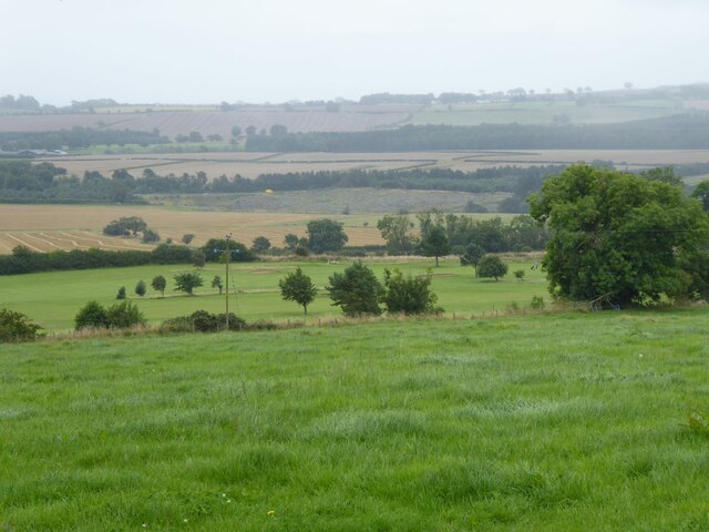
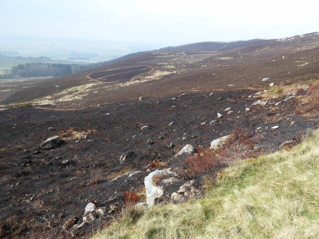
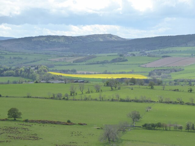
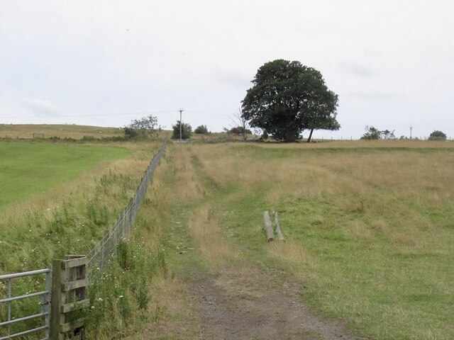
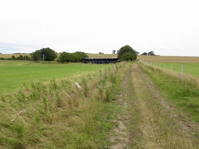
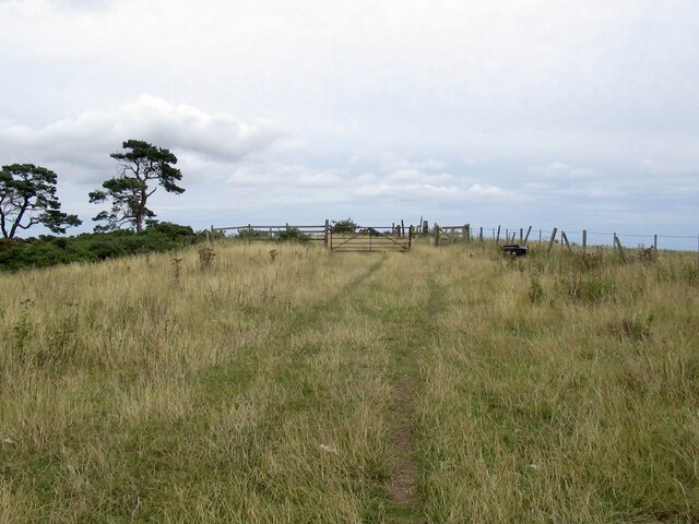
Big Birkey Hill, located in Northumberland, is a prominent hill situated in the northern region of England. Rising to an elevation of approximately 315 meters (1,033 feet), it offers breathtaking panoramic views of the surrounding countryside and is a popular destination for hikers, nature enthusiasts, and photographers alike.
The hill is part of the Pennines, a range of mountains and hills running through the center of Northern England. It is characterized by its distinctive conical shape, with a gentle slope leading up to its summit. The terrain is predominantly covered in grass and heather, creating a picturesque landscape throughout the year.
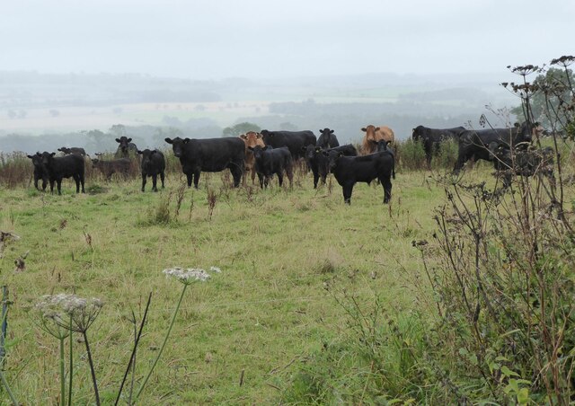
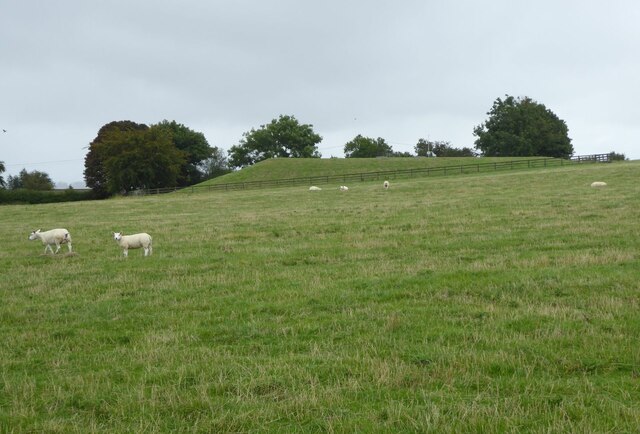
Big Birkey Hill is also home to a diverse range of flora and fauna, making it a haven for wildlife. Visitors can often spot a variety of bird species, including buzzards, kestrels, and pheasants, as well as smaller creatures such as rabbits and foxes. The hillside is also adorned with an array of colorful wildflowers during the spring and summer months, adding to its natural beauty.
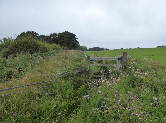
Access to Big Birkey Hill is relatively easy, with several well-marked footpaths leading to the summit. The most popular route starts from the nearby village of Ingram, offering a moderate climb that rewards visitors with breathtaking views from the top. Additionally, there are various picnic spots along the way, allowing visitors to take a break and soak in the surroundings.
Overall, Big Birkey Hill is a picturesque and accessible hill in Northumberland, offering a rewarding experience for outdoor enthusiasts and those seeking a peaceful retreat in nature.
If you have any feedback on the listing, please let us know in the comments section below.
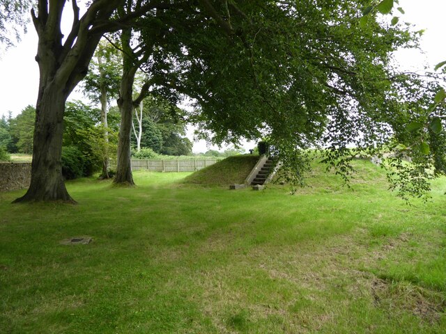
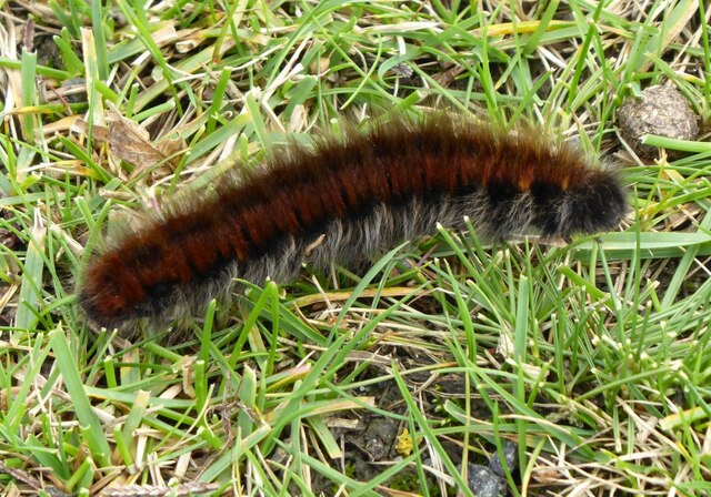
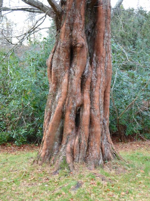
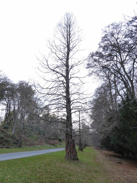
Big Birkey Hill Images
Images are sourced within 2km of 55.407797/-1.7460552 or Grid Reference NU1612. Thanks to Geograph Open Source API. All images are credited.


Big Birkey Hill is located at Grid Ref: NU1612 (Lat: 55.407797, Lng: -1.7460552)
Unitary Authority: Northumberland
Police Authority: Northumbria
What 3 Words
///wash.laces.wobbling. Near Alnwick, Northumberland
Nearby Locations
Related Wikis

RRH Brizlee Wood
Remote Radar Head Brizlee Wood (or RRH Brizlee Wood), is an air defence radar station operated by the Royal Air Force located at Brizlee Wood, near Alnwick...

Camphill Column, Alnwick
The Camphill Column in Alnwick, Northumberland, is a stone column erected in 1814, celebrating a number of British victories over the French and others...

Battle of Alnwick (1174)
The Battle of Alnwick (1174) is one of two battles fought near the town of Alnwick, in Northumberland, England. In the battle, which took place on 13 July...
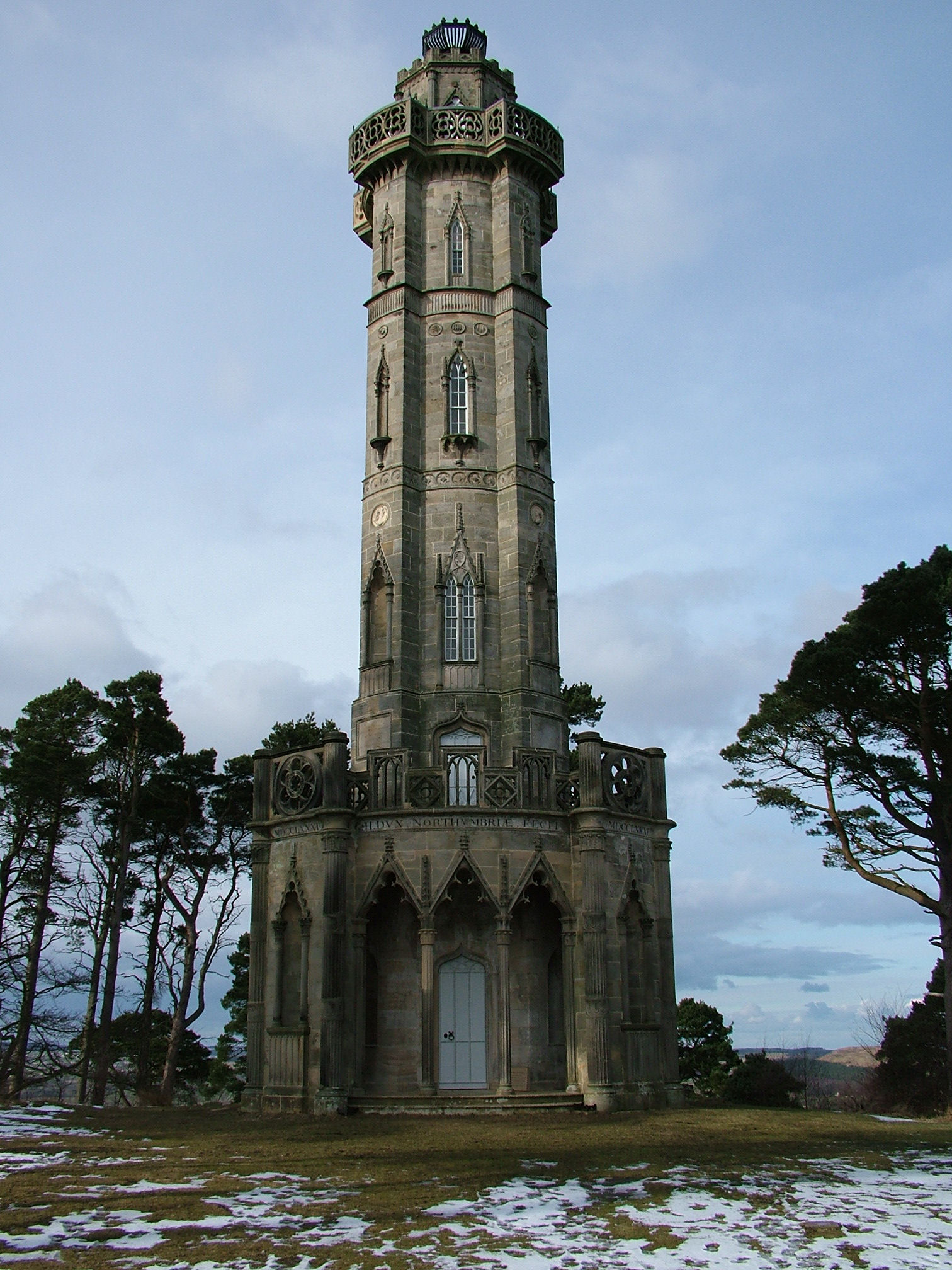
Brizlee Tower
Brizlee Tower (sometimes Brislee Tower) is a Grade 1 listed folly set atop a hill in Hulne Park, the walled home park of the Duke of Northumberland in...

Alnwick Abbey
Alnwick Abbey was founded as a Premonstratensian monastery in 1147 by Eustace fitz John near Alnwick, England, as a daughter house of Newhouse Abbey in...
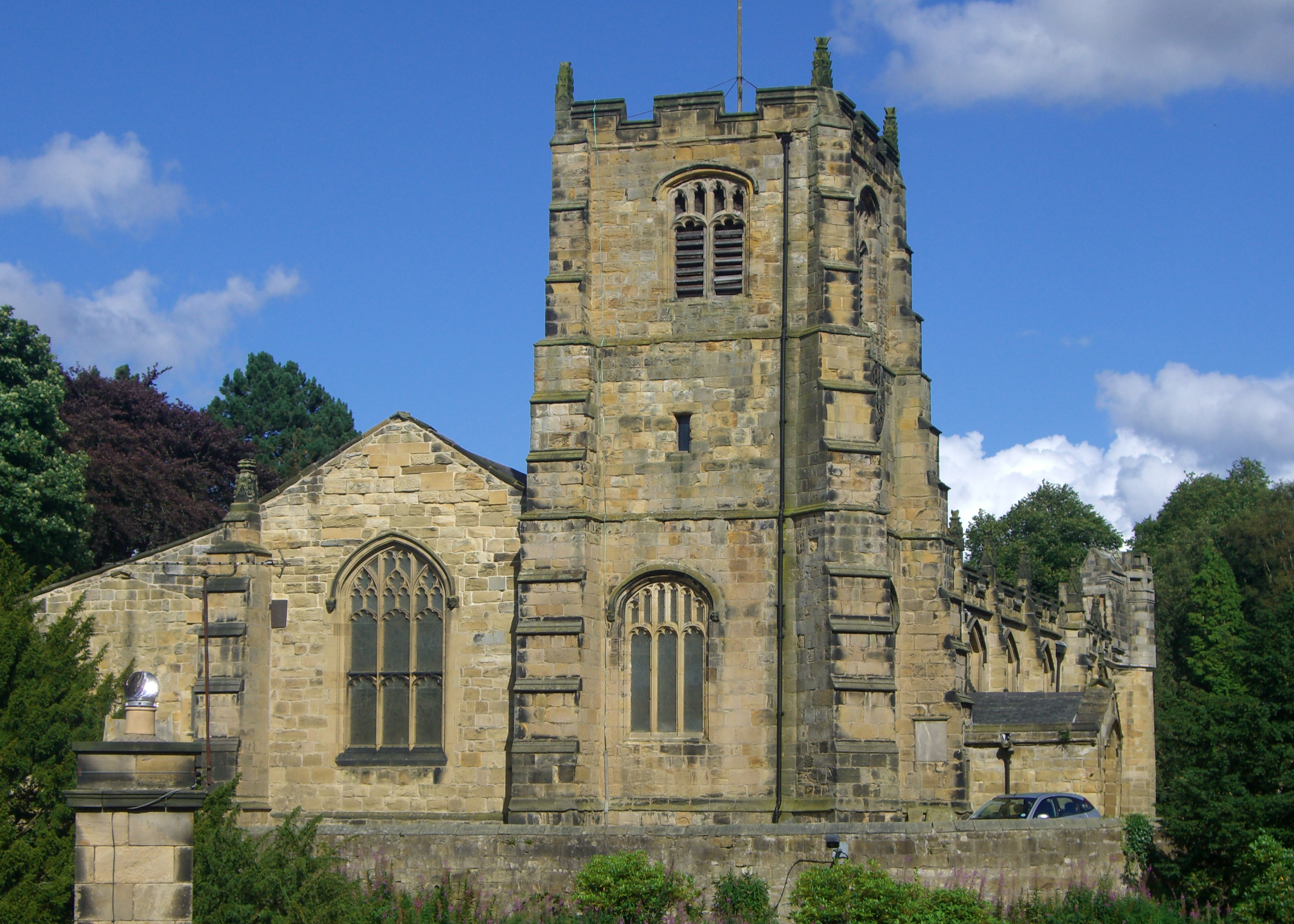
St Michael's Church, Alnwick
St Michael's Church is an Anglican place of worship situated on Bailiffgate in the town of Alnwick in Northumberland, England. The current building dates...
Lionheart Radio
Lionheart Radio is a community radio station in the north east of England which broadcasts to Northumberland from Fenkle Street in Alnwick. It conducted...
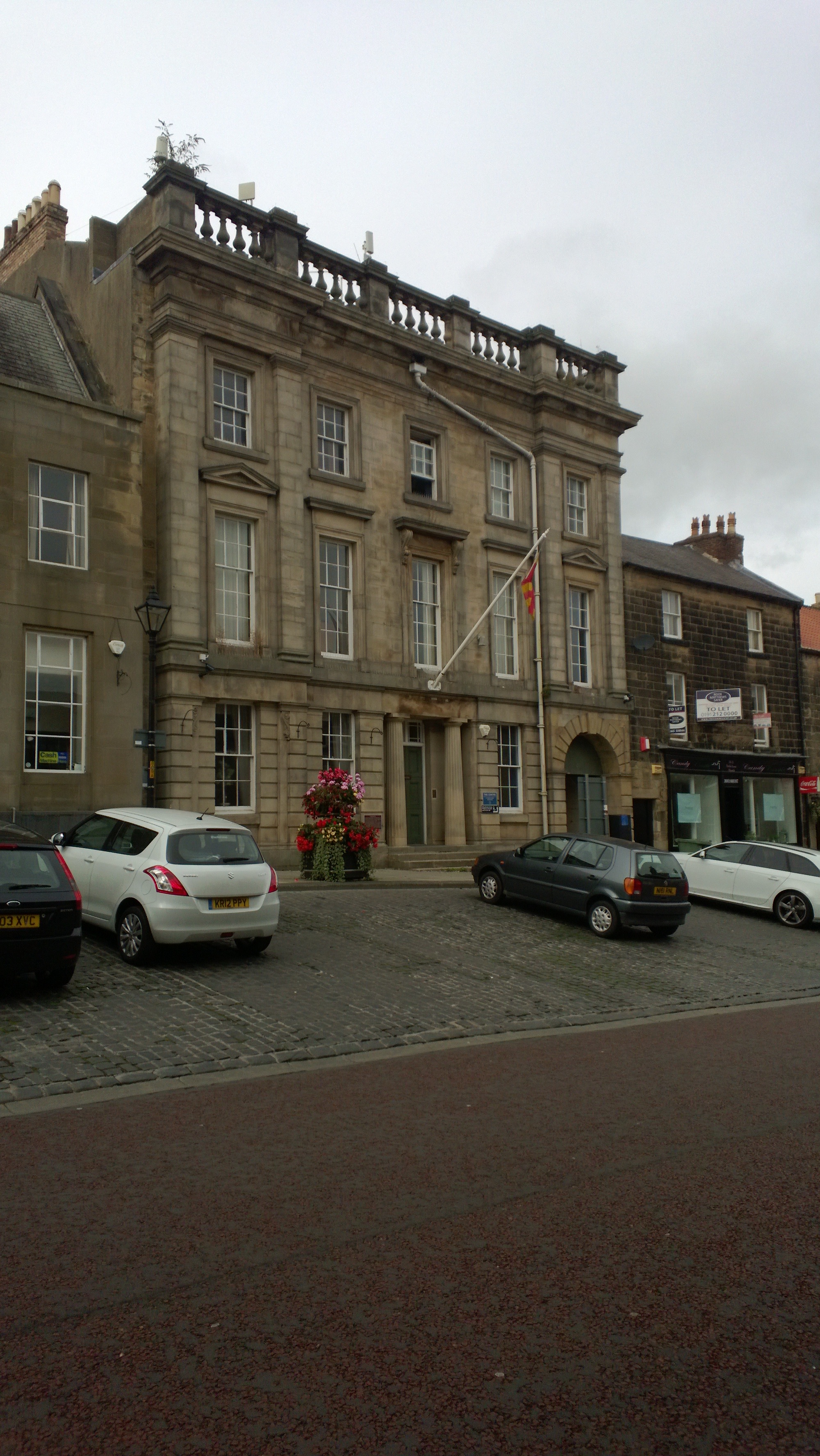
Fenkle Street drill hall
The Fenkle Street drill hall is a military installation in Alnwick, Northumberland. It is a Grade II* listed building. == History == The building, which...
Nearby Amenities
Located within 500m of 55.407797,-1.7460552Have you been to Big Birkey Hill?
Leave your review of Big Birkey Hill below (or comments, questions and feedback).