Beacon Hill
Hill, Mountain in Northumberland
England
Beacon Hill
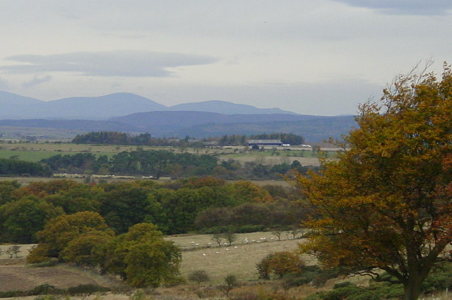
Beacon Hill is a prominent landmark located in the county of Northumberland, in the northeast of England. Rising to an elevation of 345 meters (1,132 feet), it is classified as a hill rather than a mountain due to its relatively moderate height. The hill is situated in the heart of the Northumberland National Park, a designated area of natural beauty renowned for its stunning landscapes and rich cultural heritage.
Beacon Hill derives its name from the historic function it served as a signaling point, where beacons were lit to warn of impending danger or to relay important messages. The hill offers commanding views of the surrounding countryside, including the Cheviot Hills to the north, the Simonside Hills to the south, and the expansive moorland of the Northumberland National Park.
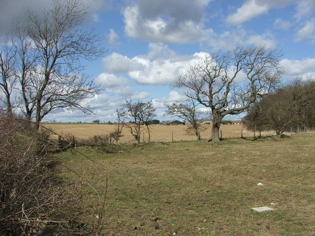
Covered in heather and bracken, Beacon Hill boasts a diverse range of flora and fauna. The hill is home to a variety of bird species, including raptors like the kestrel and buzzard, as well as ground-nesting birds such as the curlew and lapwing. The area surrounding the hill is also inhabited by mammals such as red squirrels, badgers, and roe deer.
Beacon Hill is a popular destination for hikers and nature enthusiasts, offering a network of well-maintained footpaths and trails that cater to different skill levels. The hill provides an opportunity for visitors to immerse themselves in the natural beauty of Northumberland, with its rolling hills, picturesque valleys, and ancient woodlands.
Overall, Beacon Hill stands as a testament to the captivating beauty of Northumberland, attracting both locals and tourists alike with its panoramic views, wildlife diversity, and historical significance.
If you have any feedback on the listing, please let us know in the comments section below.
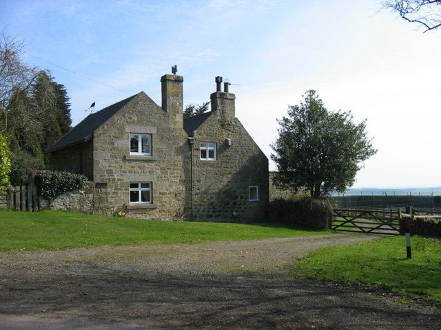
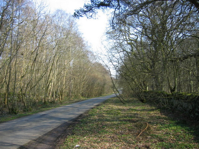
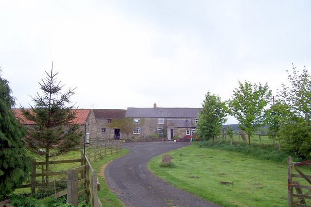
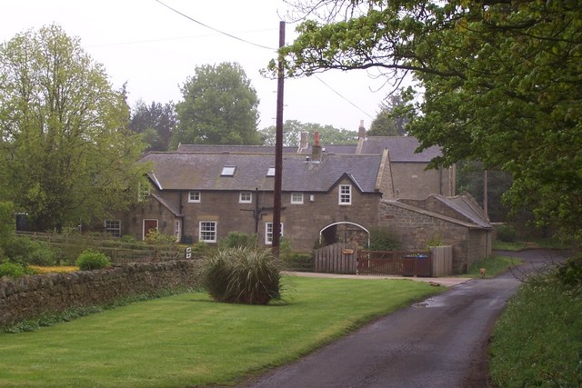
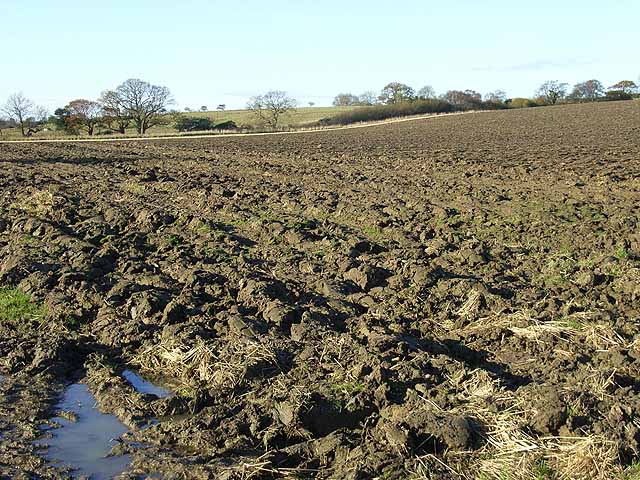
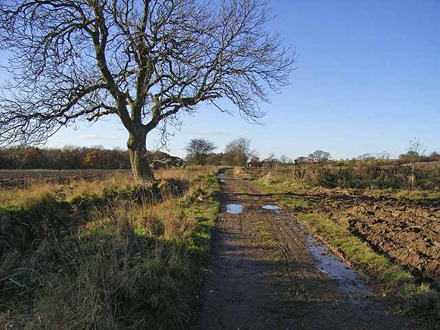
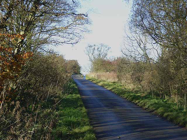
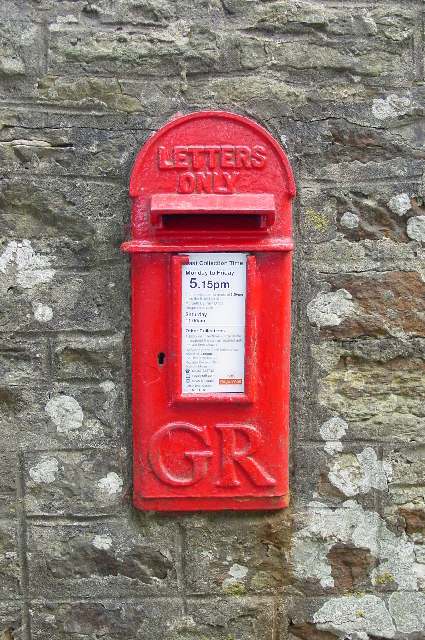
Beacon Hill Images
Images are sourced within 2km of 55.217019/-1.7718989 or Grid Reference NZ1491. Thanks to Geograph Open Source API. All images are credited.


Beacon Hill is located at Grid Ref: NZ1491 (Lat: 55.217019, Lng: -1.7718989)
Unitary Authority: Northumberland
Police Authority: Northumbria
What 3 Words
///lemmings.resolves.likes. Near Longhorsley, Northumberland
Nearby Locations
Related Wikis

Stanton, Northumberland
Stanton is a small hamlet and former civil parish, now in the parish of Netherwitton, in Northumberland, England, which is located 7 miles (11 km) north...

Longhorsley
Longhorsley is a village in Northumberland, England about 7 miles (11 km) northwest of Morpeth, and about 14 miles (23 km) south of Alnwick. The A697 road...
Pigdon
Pigdon is a hamlet and former civil parish 3 miles (4.8 km) from Morpeth, now in the parish of Meldon, in the county of Northumberland, England. In 1951...

Netherwitton
Netherwitton is a village in Northumberland, England about 8 miles (13 km) west north west of Morpeth. A former cotton-mill now converted into residential...

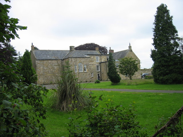
Netherwitton Hall
Netherwitton Hall is a mansion house, and a Grade I listed building at Netherwitton, near Morpeth, Northumberland, England.The estate was owned by the...
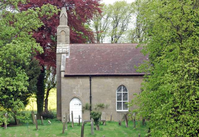
Causey Park House
Causey Park House is a 16th-century former manor house with Grade II listed building status situated at Causey Park, Northumberland, England. The Manors...

Causey Park Bridge
Causey Park Bridge is a village in Northumberland, England. It is about 6 miles (10 km) to the north of Morpeth and a similar distance inland from the...
Hebron, Northumberland
Hebron is a village and civil parish 2 miles (3.2 km) north of Morpeth, in the county of Northumberland, England. In 2011 the parish had a population of...
Nearby Amenities
Located within 500m of 55.217019,-1.7718989Have you been to Beacon Hill?
Leave your review of Beacon Hill below (or comments, questions and feedback).