Beaconhill Wood

Wood, Forest in Northumberland

England

Beaconhill Wood

High tension wires This telephone line was a victim of Storm Arwen two months ago but presumably is still working despite the tension in the cable.  Conversations might be a bit strained.
High tension wires Credit: Leanmeanmo

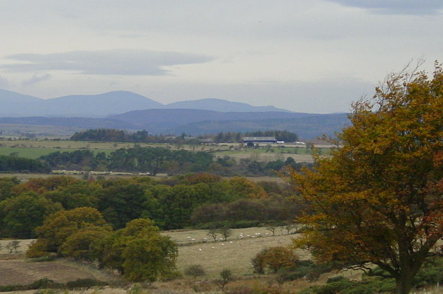
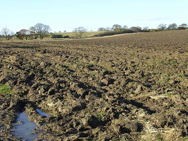
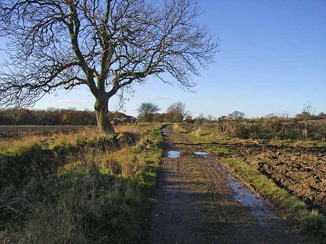
Beaconhill Wood is a picturesque forest located in the county of Northumberland, England. Situated near the town of Morpeth, the wood covers an area of approximately 100 hectares and is a popular destination for nature enthusiasts and outdoor adventurers alike.

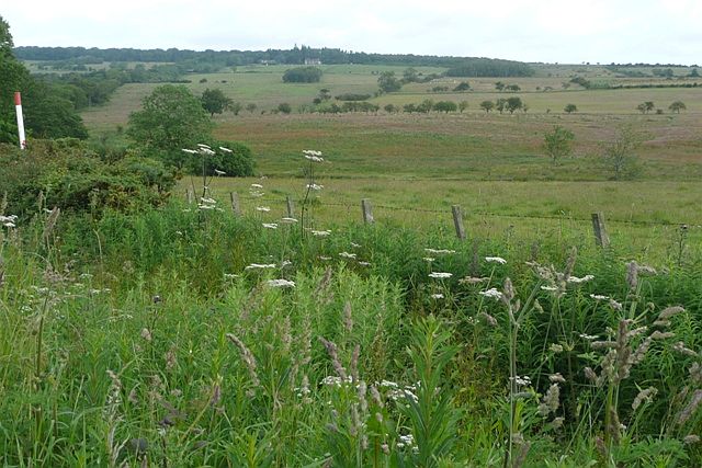
The wood is characterized by its diverse range of tree species, including oak, beech, ash, and birch. These majestic trees create a dense canopy, providing shade and shelter to the flora and fauna that call the wood their home. In spring, the forest floor is transformed into a colorful carpet of bluebells, primroses, and wild garlic, creating a stunning natural spectacle.

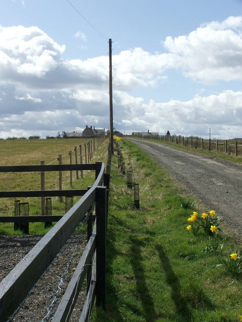
Visitors to Beaconhill Wood can explore a network of well-maintained walking trails that wind their way through the forest. These trails cater to different fitness levels, offering options for leisurely strolls or more challenging hikes. Along the way, hikers may encounter various wildlife species, such as roe deer, red squirrels, and numerous bird species, including woodpeckers and buzzards.

For those seeking a panoramic view, a climb up Beacon Hill, the highest point in the wood, is a must. From the summit, visitors are treated to breathtaking vistas of the surrounding Northumberland countryside, with its rolling hills and distant coastal views.

Beaconhill Wood is not only a haven for nature lovers but also serves as an important conservation area. Managed by the Forestry Commission, the wood is carefully preserved to ensure the long-term sustainability of its ecosystems and wildlife habitats.

Overall, Beaconhill Wood offers a tranquil escape into nature, providing a serene setting for outdoor activities and an opportunity to appreciate the beauty and biodiversity of Northumberland's woodlands.

If you have any feedback on the listing, please let us know in the comments section below.

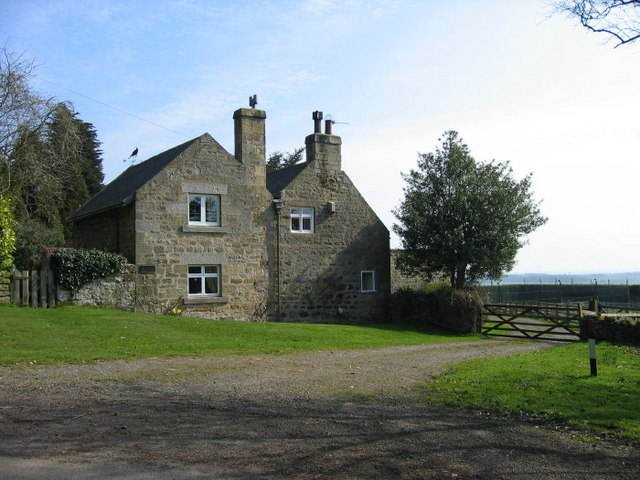
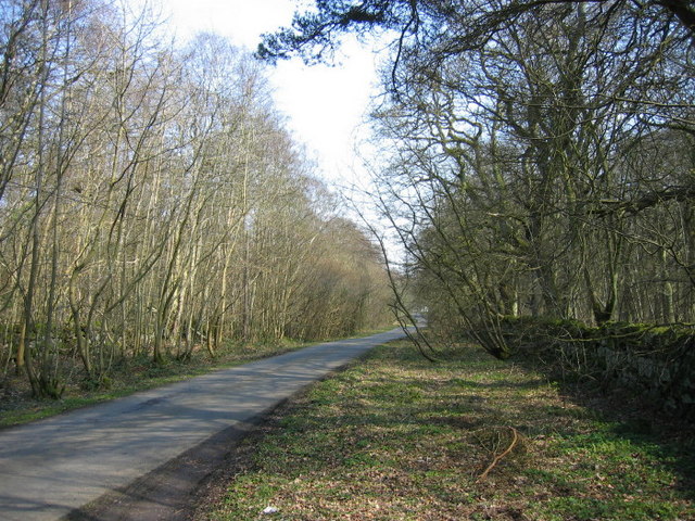
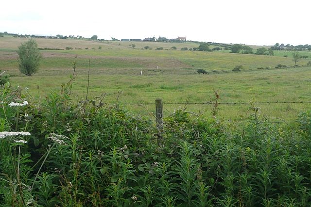
Beaconhill Wood Images

Images are sourced within 2km of 55.218278/-1.7677108 or Grid Reference NZ1491. Thanks to Geograph Open Source API. All images are credited.

High tension wires This telephone line was a victim of Storm Arwen two months ago but presumably is still working despite the tension in the cable.  Conversations might be a bit strained.
High tension wires
This telephone line was a victim of Storm Arwen two months ago but presumably is still working despite the tension in the cable. Conversations might be a bit strained.
Looking towards the Cheviots from Stanton.
Gorfen Letch Taken from the adjacent square because this looked like a private drive which lead only to the house. Half of the driveway and house are in the square.
Gorfen Letch
Taken from the adjacent square because this looked like a private drive which lead only to the house. Half of the driveway and house are in the square.
Farmland The fence separates two fields, one for growing arable crops and the other for grazing horses.
Farmland
The fence separates two fields, one for growing arable crops and the other for grazing horses.
Fishing Pond On our weekly walk we had nominated this day Happy 90th Minute Day because one of my walking companions is a MAD Chester supporter who were beaten by Grimsby on Saturday by two goals both scored in the 90th minute.  Since this pond had no name we decided to call it 90th Minute Pond.
Fishing Pond
On our weekly walk we had nominated this day Happy 90th Minute Day because one of my walking companions is a MAD Chester supporter who were beaten by Grimsby on Saturday by two goals both scored in the 90th minute. Since this pond had no name we decided to call it 90th Minute Pond.
Moor Edge Cottage
Moor Edge Cottage
The Oaks
The Oaks
Moorhen Cottage The only Moorhen weather vane that I've ever seen.
Moorhen Cottage
The only Moorhen weather vane that I've ever seen.
Road through Beaconhill Wood
Driveway leading to Smallburn Farm
High Trewitley Lake
High Trewitley Lake
Bluebell's in Haredene
Footpath on the side of Haredene
West of Gorfenletch From the minor road crossing the south-west corner of the square and looking north.  Harelaw is the building just to the right of the second line of low trees.
West of Gorfenletch
From the minor road crossing the south-west corner of the square and looking north. Harelaw is the building just to the right of the second line of low trees.
South of Gorfenletch From the minor road in the south-west of the square.  Gorfenletch cattle barn is the low building above the tree to the left.  The prominent building on the hill is Gorfenletch Farmhouse.  The farm was sold in lots between 2001 and 2006.
South of Gorfenletch
From the minor road in the south-west of the square. Gorfenletch cattle barn is the low building above the tree to the left. The prominent building on the hill is Gorfenletch Farmhouse. The farm was sold in lots between 2001 and 2006.
Footpath across Longhorsley Moor The cow pats and six inch deep mud made it a horrendous journey to reach even this point.
Footpath across Longhorsley Moor
The cow pats and six inch deep mud made it a horrendous journey to reach even this point.
Ploughed field at Abshield Recently ploughed field in autumn.
Ploughed field at Abshield
Recently ploughed field in autumn.
Farm road from Abshields to Berryhill Although just a farm road, carries the status of a public road, theoretically open to all traffic.
Farm road from Abshields to Berryhill
Although just a farm road, carries the status of a public road, theoretically open to all traffic.
Show me another place!

Beaconhill Wood is located at Grid Ref: NZ1491 (Lat: 55.218278, Lng: -1.7677108)

Unitary Authority: Northumberland

Police Authority: Northumbria

What 3 Words

///bead.classics.depending. Near Longhorsley, Northumberland

Related Wikis

Stanton, Northumberland

Stanton is a small hamlet and former civil parish, now in the parish of Netherwitton, in Northumberland, England, which is located 7 miles (11 km) north...

Longhorsley

Longhorsley is a village in Northumberland, England about 7 miles (11 km) northwest of Morpeth, and about 14 miles (23 km) south of Alnwick. The A697 road...

Pigdon

Pigdon is a hamlet and former civil parish 3 miles (4.8 km) from Morpeth, now in the parish of Meldon, in the county of Northumberland, England. In 1951...

Causey Park House

Causey Park House is a 16th-century former manor house with Grade II listed building status situated at Causey Park, Northumberland, England. The Manors...

Netherwitton

Netherwitton is a village in Northumberland, England about 8 miles (13 km) west north west of Morpeth. A former cotton-mill now converted into residential...

Causey Park Bridge

Causey Park Bridge is a village in Northumberland, England. It is about 6 miles (10 km) to the north of Morpeth and a similar distance inland from the...

Netherwitton Hall

Netherwitton Hall is a mansion house, and a Grade I listed building at Netherwitton, near Morpeth, Northumberland, England.The estate was owned by the...

Hebron, Northumberland

Hebron is a village and civil parish 2 miles (3.2 km) north of Morpeth, in the county of Northumberland, England. In 2011 the parish had a population of...

Nearby Amenities

Located within 500m of 55.218278,-1.7677108
Beacon Hill
Place: locality
Lat/Long: 55.2165417/-1.7718359
Source: Bing
Lat/Long: 55.2170069/-1.7614418
Communication Mobile Phone: yes
Man Made: tower
Tower Type: communication
Lat/Long: 55.2217588/-1.7681403
Noexit: yes
Lat/Long: 55.2169328/-1.7630229
The data included in this document is from www.openstreetmap.org. The data is made available under ODbL.

Have you been to Beaconhill Wood?

Leave your review of Beaconhill Wood below (or comments, questions and feedback).