Beacon Hill
Hill, Mountain in Yorkshire Richmondshire
England
Beacon Hill
Beacon Hill is a prominent hill located in the county of Yorkshire, England. Situated within the North York Moors National Park, it is known for its breathtaking natural beauty and stunning panoramic views. Rising to an elevation of approximately 328 meters (1,076 feet), Beacon Hill is often referred to as a mountain due to its impressive height.
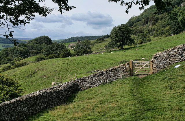
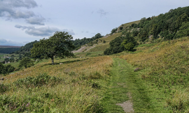
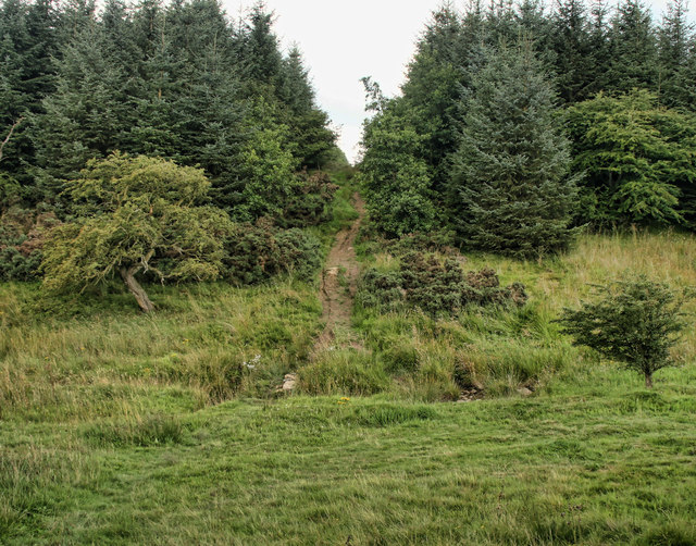
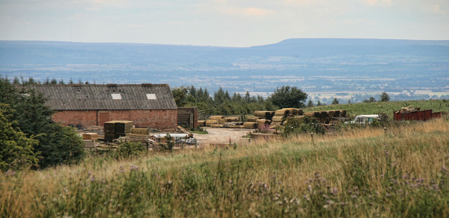
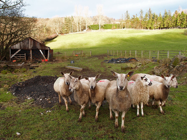
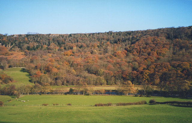
The hill is characterized by its rolling green slopes, covered in heather and grasses, creating a picturesque landscape that attracts nature enthusiasts, hikers, and photographers. From its summit, visitors can enjoy spectacular vistas of the surrounding countryside, including the expansive moors, nearby villages, and occasionally even glimpses of the North Sea in the distance.
One of the notable features of Beacon Hill is its historical significance. As the name suggests, it served as a beacon site in ancient times, where a fire would be lit to warn of potential invasions or other significant events. Remnants of this historical use can still be seen, adding an intriguing cultural element to the natural beauty of the hill.
The area around Beacon Hill is also home to a diverse range of flora and fauna. Rare species of birds, such as the merlin and short-eared owl, can be spotted in the vicinity, along with various other wildlife including rabbits, hares, and deer.
Overall, Beacon Hill offers a unique combination of natural beauty, historical significance, and wildlife diversity, making it a must-visit destination for anyone exploring the Yorkshire region.
If you have any feedback on the listing, please let us know in the comments section below.
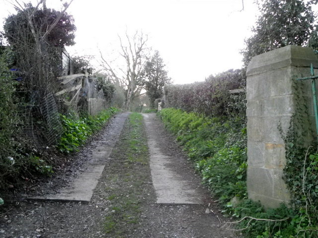
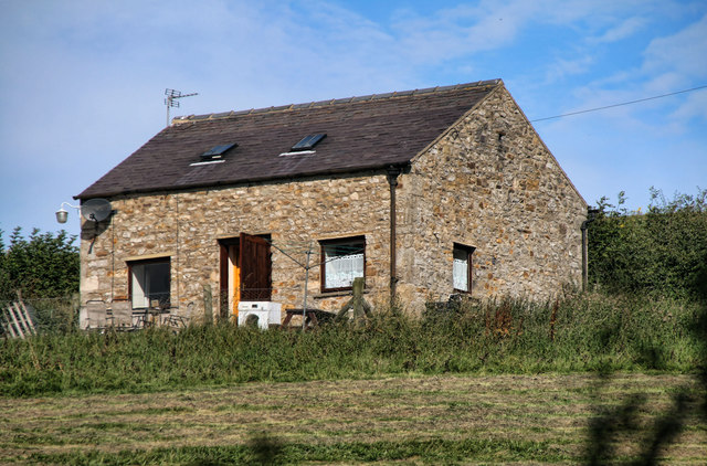
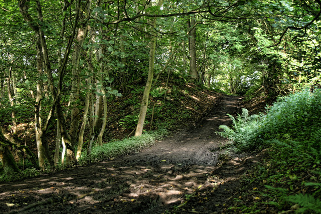
Beacon Hill Images
Images are sourced within 2km of 54.418241/-1.7774757 or Grid Reference NZ1402. Thanks to Geograph Open Source API. All images are credited.


Beacon Hill is located at Grid Ref: NZ1402 (Lat: 54.418241, Lng: -1.7774757)
Division: North Riding
Administrative County: North Yorkshire
District: Richmondshire
Police Authority: North Yorkshire
What 3 Words
///relocated.plugs.arts. Near Richmond, North Yorkshire
Nearby Locations
Related Wikis

Richmond Racecourse
Richmond Racecourse was a British horse racing track situated at Richmond, North Yorkshire at first High Moor, then Low Moor, from 1765 to 1776. It was...

Applegarth, North Yorkshire
Applegarth is a historic settlement located north of the River Swale in Yorkshire, England. It lies about three-quarters of a mile north-east of the village...

Hudswell, North Yorkshire
Hudswell is a village and civil parish on the border of the Yorkshire Dales, in North Yorkshire, England. The population at the ONS Census 2011 was 353...

Scott Trial
The Scott Trial is a British motorcycle trials competition dating from 1914 run over an off-road course of approximately 70 miles (110 km). One of the...
Nearby Amenities
Located within 500m of 54.418241,-1.7774757Have you been to Beacon Hill?
Leave your review of Beacon Hill below (or comments, questions and feedback).