Beacon Plantation
Wood, Forest in Yorkshire Richmondshire
England
Beacon Plantation
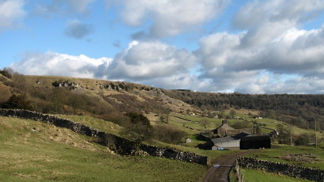
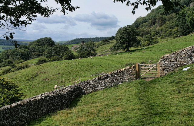
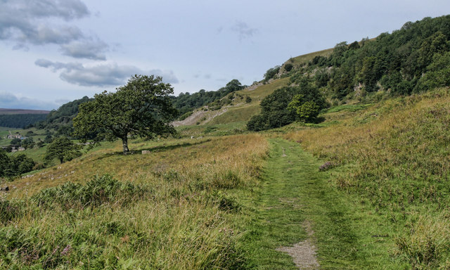
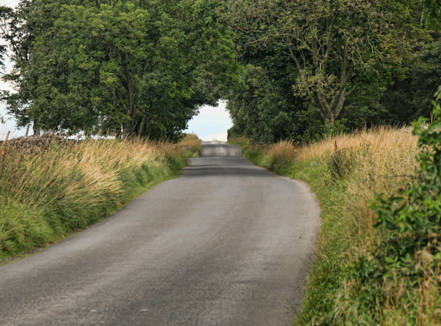
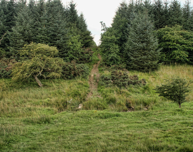
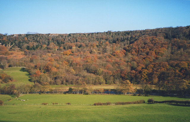
Beacon Plantation is a picturesque woodland located in the heart of Yorkshire, England. Covering an expansive area of lush greenery, this enchanting forest is known for its serene beauty and tranquil atmosphere. The plantation sits atop a gently sloping hill, offering breathtaking panoramic views of the surrounding countryside.
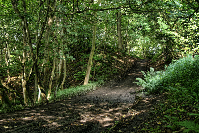
The woodland is home to a diverse range of flora and fauna, making it a haven for nature enthusiasts and wildlife lovers. Towering oak, beech, and birch trees dominate the landscape, forming a dense canopy that provides shade and shelter for a variety of woodland creatures. Visitors can wander along the well-maintained trails, immersing themselves in the natural splendor and listening to the sweet melodies of birdsong.
Beacon Plantation has a rich history that dates back centuries. It was once a hunting ground for the nobility, and remnants of ancient stone walls and pathways can still be seen within the forest. The plantation is also home to a historic beacon tower, which served as a navigational aid for ships in the nearby coast. The tower stands tall amidst the trees, offering a glimpse into the past and adding a touch of mystique to the surroundings.
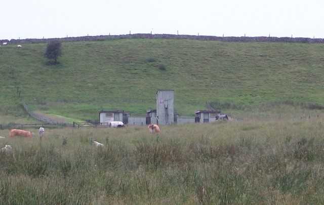
Today, Beacon Plantation serves as a popular destination for outdoor activities such as hiking, picnicking, and wildlife spotting. The well-preserved trails cater to visitors of all ages and abilities, ensuring that everyone can enjoy the beauty and tranquility of this captivating woodland. Whether you are seeking solace in nature or simply looking to escape the hustle and bustle of everyday life, Beacon Plantation is a perfect destination to reconnect with the natural world.
If you have any feedback on the listing, please let us know in the comments section below.
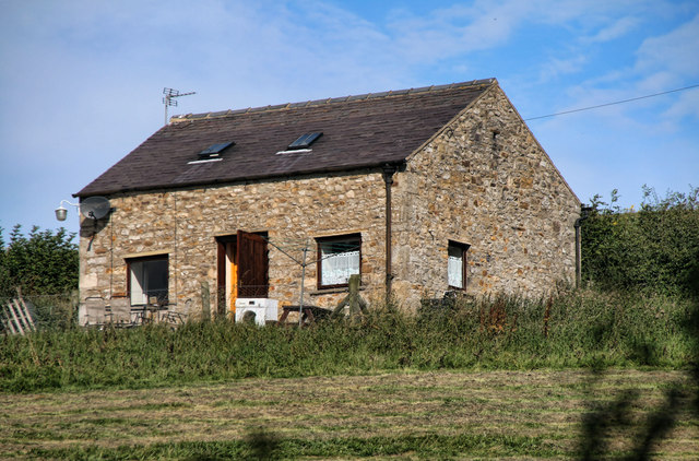
Beacon Plantation Images
Images are sourced within 2km of 54.418981/-1.7839133 or Grid Reference NZ1402. Thanks to Geograph Open Source API. All images are credited.


Beacon Plantation is located at Grid Ref: NZ1402 (Lat: 54.418981, Lng: -1.7839133)
Division: North Riding
Administrative County: North Yorkshire
District: Richmondshire
Police Authority: North Yorkshire
What 3 Words
///linguists.smooth.headlight. Near Richmond, North Yorkshire
Nearby Locations
Related Wikis

Applegarth, North Yorkshire
Applegarth is a historic settlement located north of the River Swale in Yorkshire, England. It lies about three-quarters of a mile north-east of the village...

Richmond Racecourse
Richmond Racecourse was a British horse racing track situated at Richmond, North Yorkshire at first High Moor, then Low Moor, from 1765 to 1776. It was...

Scott Trial
The Scott Trial is a British motorcycle trials competition dating from 1914 run over an off-road course of approximately 70 miles. One of the most challenging...

Hudswell, North Yorkshire
Hudswell is a village and civil parish on the border of the Yorkshire Dales, in North Yorkshire, England. The population at the ONS Census 2011 was 353...

St Joseph and St Francis Xavier Church
St Joseph and St Francis Xavier Church is a Roman Catholic Parish church in Richmond, North Yorkshire. It is situated between Newbiggin and Victoria Road...
Friary Community Hospital
The Friary Community Hospital is a health facility in Queen's Road, Richmond, North Yorkshire, England. It is managed by South Tees Hospitals NHS Foundation...

Greyfriars, Richmond
Greyfriars, Richmond was a friary in North Yorkshire, England. Its bell tower still survives and dates from the 15th century. Its establishment as a friary...

Victoria Hospital, Richmond
The Victoria Hospital was a health facility in Queen's Road, Richmond, North Yorkshire, England. It is now used as a funeral director's offices and remains...
Nearby Amenities
Located within 500m of 54.418981,-1.7839133Have you been to Beacon Plantation?
Leave your review of Beacon Plantation below (or comments, questions and feedback).