Bellamour
Hill, Mountain in Northumberland
England
Bellamour

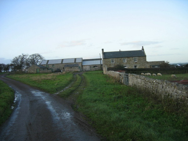
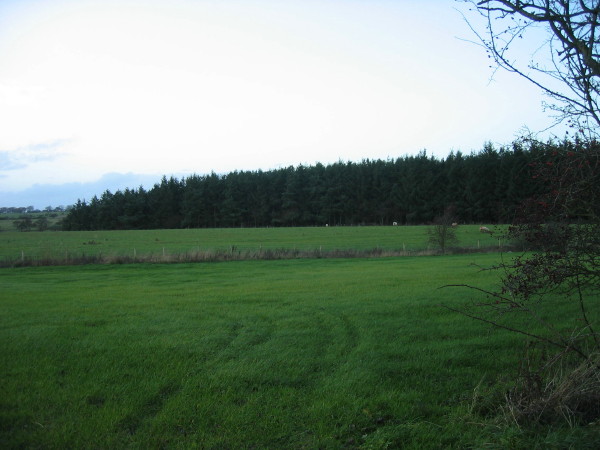
Bellamour is a picturesque hill located in the county of Northumberland, in the northeast of England. Standing at an elevation of approximately 600 meters, it is a prominent feature of the local landscape. The hill is situated within the Northumberland National Park, known for its breathtaking natural beauty and diverse wildlife.
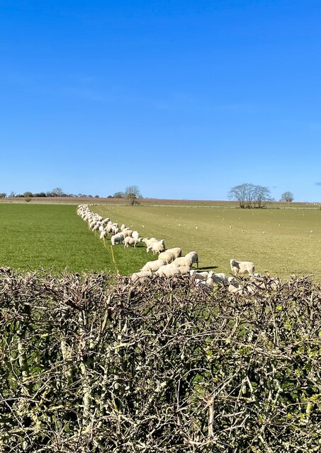
Bellamour offers stunning panoramic views of the surrounding countryside, with rolling hills and lush green valleys stretching as far as the eye can see. The hill is covered in a mixture of grasses, heather, and scattered trees, creating a rich tapestry of colors throughout the seasons. It is a popular destination for hikers and nature enthusiasts, who are rewarded with breathtaking vistas at its summit.
The area surrounding Bellamour is a haven for wildlife, with various species of birds, mammals, and plant life calling it home. Visitors may spot red grouse, curlews, and even the occasional majestic red deer while exploring the hill. The diverse flora includes wildflowers such as harebells and primroses, adding to the area's natural charm.
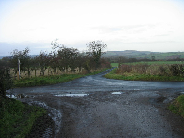
Bellamour is easily accessible, with several footpaths and trails leading to its peak. The hill attracts visitors throughout the year, as each season offers a unique experience. In the spring and summer, the hill is alive with vibrant colors and the sounds of nature, while autumn brings a stunning display of golden hues. Even in winter, Bellamour's snow-capped peak offers a serene and tranquil ambiance.
Overall, Bellamour in Northumberland is a true gem of natural beauty, offering visitors a chance to immerse themselves in the stunning scenery and wildlife of this remarkable region.
If you have any feedback on the listing, please let us know in the comments section below.
Bellamour Images
Images are sourced within 2km of 55.263358/-1.7764804 or Grid Reference NZ1496. Thanks to Geograph Open Source API. All images are credited.


Bellamour is located at Grid Ref: NZ1496 (Lat: 55.263358, Lng: -1.7764804)
Unitary Authority: Northumberland
Police Authority: Northumbria
What 3 Words
///dweller.confronts.truckload. Near Longhorsley, Northumberland
Nearby Locations
Related Wikis

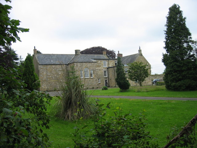
Linden Hall, Northumberland
Linden Hall is a former mansion house in the civil parish of Longhorsley, Northumberland, England which is now operated as a hotel and country club. This...

Longhorsley
Longhorsley is a village in Northumberland, England about 7 miles (11 km) northwest of Morpeth, and about 14 miles (23 km) south of Alnwick. The A697 road...

Brinkburn Mill
Brinkburn Mill is a water mill located near Rothbury, in Northumberland. It once formed part of the precincts of Brinkburn Priory and was constructed in...

Brinkburn Priory
Brinkburn Priory is a former monastery built, starting in the 12th century, on a bend of the River Coquet, about 4 miles (6 km) east of Rothbury, Northumberland...

Brinkburn
Brinkburn is a civil parish in Northumberland, England. It is divided by the River Coquet. The parish includes the hamlet of Pauperhaugh. == History... ==
Causey Park House
Causey Park House is a 16th-century former manor house with Grade II listed building status situated at Causey Park, Northumberland, England. The Manors...
Longframlington
Longframlington is a small village in Northumberland, England, located on the A697, 11 miles (18 km) north-west of Morpeth and 5 miles (8 km) south-east...
Eshott Airfield
Eshott Airfield is a former Royal Air Force (RAF) World War II airfield in the civil parish of Thirston, in the county of Northumberland, England, 20 miles...
Nearby Amenities
Located within 500m of 55.263358,-1.7764804Have you been to Bellamour?
Leave your review of Bellamour below (or comments, questions and feedback).