Bunster Hill
Hill, Mountain in Staffordshire Staffordshire Moorlands
England
Bunster Hill
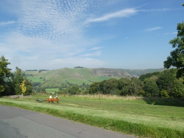
Bunster Hill is a prominent hill located in the county of Staffordshire, England. Situated in the picturesque countryside, it is part of the Staffordshire Moorlands district. Rising to an elevation of approximately 369 meters (1,210 feet), Bunster Hill is considered a significant landmark in the area.
The hill is characterized by its distinctive cone-shaped silhouette, which is a result of its geological formation as a volcanic plug. It is composed mainly of basalt, a type of volcanic rock, which gives it a dark, rugged appearance. The hill is surrounded by lush green fields and rolling hills, offering stunning panoramic views of the Staffordshire countryside.
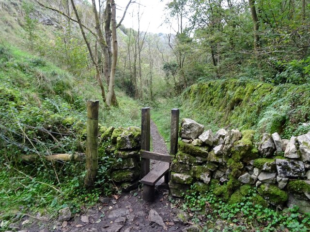
Bunster Hill is a popular destination for hikers and nature enthusiasts, who are drawn to its scenic beauty and tranquil surroundings. Several walking trails and footpaths traverse the hill, providing ample opportunities for outdoor recreation and exploration. The summit of the hill offers breathtaking vistas of the Staffordshire Moorlands, with distant views extending to the Peak District National Park and beyond on clear days.
In addition to its natural beauty, Bunster Hill also holds historical significance. It is believed to have been inhabited during prehistoric times, with evidence of ancient settlements found in the vicinity. The hill's strategic location made it an ideal defensive position during various periods of history, and remnants of fortifications can still be seen today.
Overall, Bunster Hill is a captivating natural landmark, offering a blend of scenic beauty, historical intrigue, and outdoor recreation opportunities for visitors to Staffordshire.
If you have any feedback on the listing, please let us know in the comments section below.
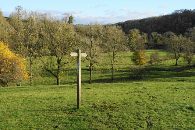
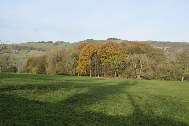
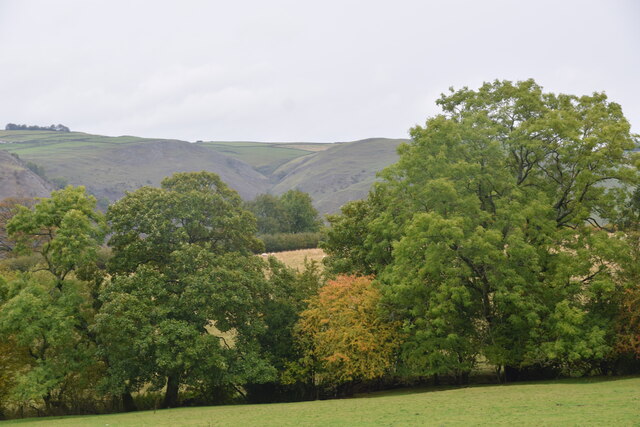
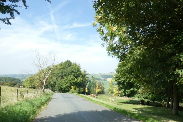
Bunster Hill Images
Images are sourced within 2km of 53.061992/-1.789592 or Grid Reference SK1451. Thanks to Geograph Open Source API. All images are credited.


Bunster Hill is located at Grid Ref: SK1451 (Lat: 53.061992, Lng: -1.789592)
Administrative County: Staffordshire
District: Staffordshire Moorlands
Police Authority: Staffordshire
What 3 Words
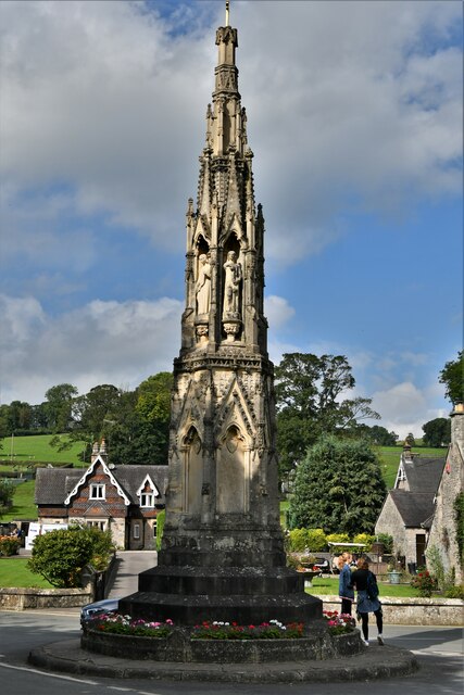
///springing.risk.remaking. Near Ashbourne, Derbyshire
Nearby Locations
Related Wikis
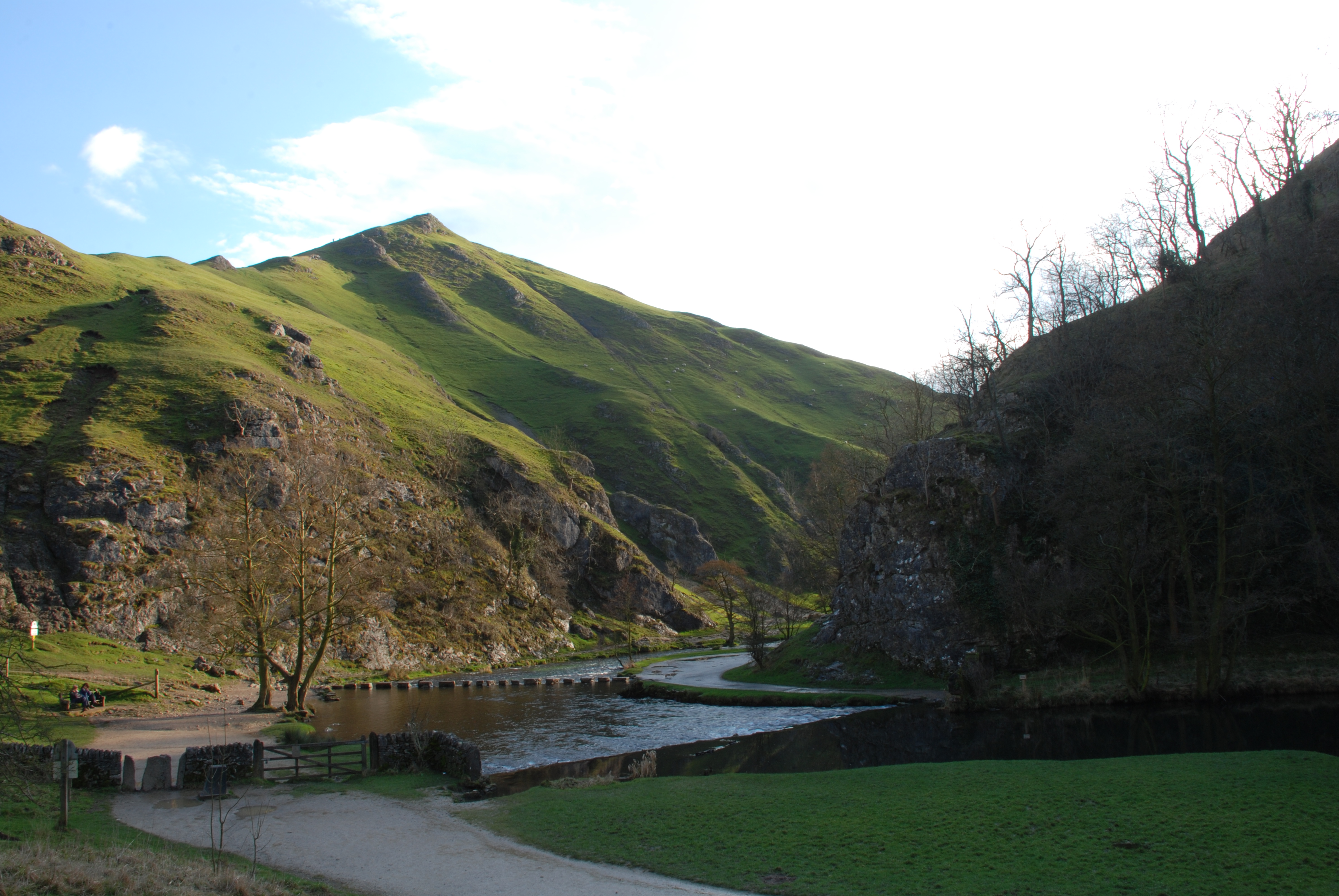
Dovedale
Dovedale is a valley in the Peak District of England. The land is owned by the National Trust and attracts a million visitors annually. The valley was...
Thorpe Cloud
Thorpe Cloud is an isolated limestone hill (a reef knoll) lying between the villages of Thorpe and Ilam on the Derbyshire/Staffordshire border at the southern...

River Manifold
The River Manifold is a river in Staffordshire, England. It is a tributary of the River Dove (which also flows through the Peak District, forming the boundary...

Ilam Park
Ilam Park is a 158-acre (0.64 km2) country park situated in Ilam, on both banks of the River Manifold five miles (8 km) north west of Ashbourne, England...
Nearby Amenities
Located within 500m of 53.061992,-1.789592Have you been to Bunster Hill?
Leave your review of Bunster Hill below (or comments, questions and feedback).