Black Hill

Hill, Mountain in Northumberland

England

Black Hill

A696 lay-by
A696 lay-by Credit: Alex McGregor

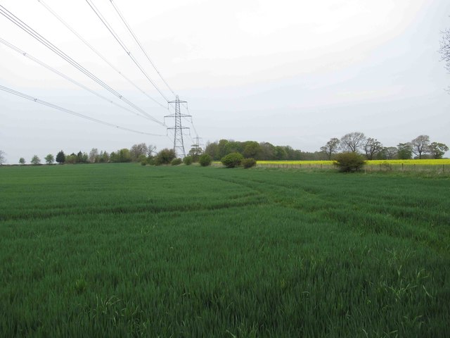
Black Hill is a prominent hill located in the county of Northumberland, England. Situated in the northern part of the county, near the border with Scotland, it forms part of the picturesque landscape of the Cheviot Hills. Standing at an elevation of 377 meters (1,237 feet), it is often referred to as a hill rather than a mountain.

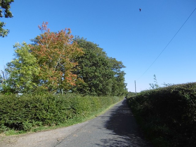
The hill is characterized by its distinctive dark appearance, which is caused by the presence of heather and peat on its slopes. This unique feature gives Black Hill its name and contributes to its aesthetic appeal. The surrounding area is predominantly rural, with rolling hills and vast open moorland stretching as far as the eye can see.

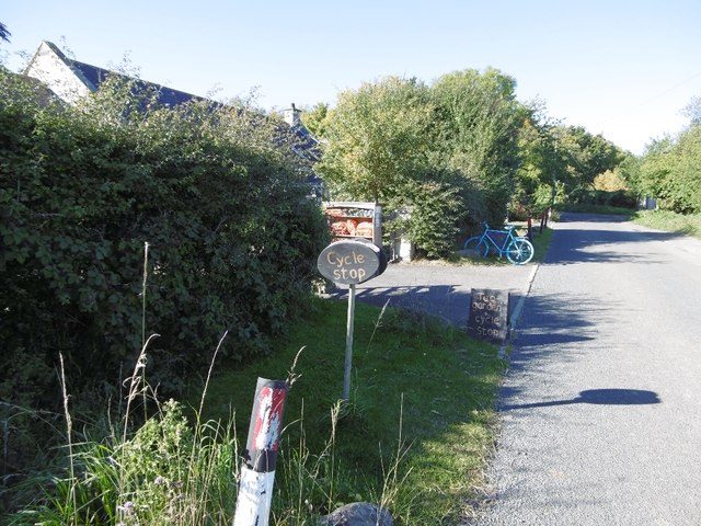
Black Hill is a popular destination for outdoor enthusiasts, particularly walkers and hikers, who are drawn to its natural beauty and breathtaking panoramic views. A well-maintained footpath leads to the summit, offering visitors the opportunity to explore the hill and enjoy the surrounding landscape. On clear days, the summit provides stunning vistas of the surrounding countryside, including views of the Scottish border and the Cheviot Hills.

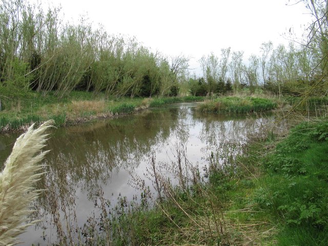
The hill is also home to a diverse range of flora and fauna, with heather, bracken, and bilberry bushes dotting the landscape. Birdwatchers may spot various species of birds, such as curlews, grouse, and skylarks, while mammal enthusiasts may encounter hares and deer.

Overall, Black Hill in Northumberland offers visitors a chance to immerse themselves in the natural beauty of the British countryside, providing a rewarding experience for those seeking peace, tranquility, and the opportunity to connect with nature.

If you have any feedback on the listing, please let us know in the comments section below.
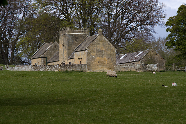
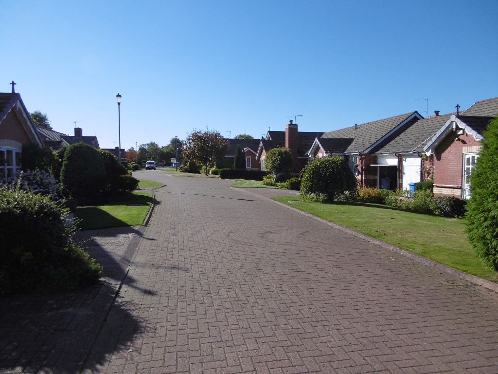
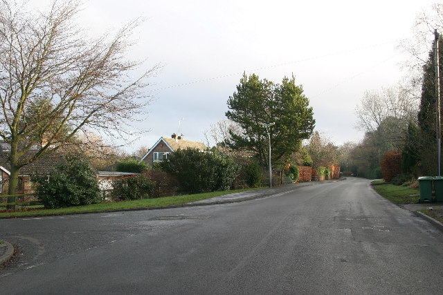
Black Hill Images

Images are sourced within 2km of 55.063802/-1.8104411 or Grid Reference NZ1274. Thanks to Geograph Open Source API. All images are credited.

A696 lay-by
A696 lay-by
East House Arable land to the west of Ponteland.
East House
Arable land to the west of Ponteland.
Tea garden near Dalton Making good use of the Reivers Route.
Tea garden near Dalton
Making good use of the Reivers Route.
A Northumberland lane Yellow road used by the National Cycle Network. One tree gives a reminder that it is actually October.
A Northumberland lane
Yellow road used by the National Cycle Network. One tree gives a reminder that it is actually October.
Field, Silverhill Grassland north of Dalton.
Field, Silverhill
Grassland north of Dalton.
Melbourne Church Viewed from the road totter south
Melbourne Church
Viewed from the road totter south
Old Milepost by the A696, Milbourne, Ponteland Parish Metal post with attached metal plate by the A696, in parish of PONTELAND (CASTLE MORPETH District), Milbourne, just North of "Waggon Inn" PH, on grass verge, on West side of road. Smith Patterson iron shield, erected by the Ponteland turnpike trust in the 19th century. 

Inscription reads:-
: NEWCASTLE / {arrow to left} 11 / BELSAY / 2¾ {arrow to right} : : PONTELAND / 3 :
Maker:-
: SMITH PATTERSON / & CO / BLAYDON :

Milestone Society National ID: NB_NCBS11.
Old Milepost by the A696, Milbourne, Ponteland Parish
Metal post with attached metal plate by the A696, in parish of PONTELAND (CASTLE MORPETH District), Milbourne, just North of "Waggon Inn" PH, on grass verge, on West side of road. Smith Patterson iron shield, erected by the Ponteland turnpike trust in the 19th century. Inscription reads:- : NEWCASTLE / {arrow to left} 11 / BELSAY / 2¾ {arrow to right} : : PONTELAND / 3 : Maker:- : SMITH PATTERSON / & CO / BLAYDON : Milestone Society National ID: NB_NCBS11.
Old Milepost by the A696, north of West Coldcoats Bridge, Ponteland Smith Patterson iron shield by the A696, in parish of Ponteland (Castle Morpeth District), near Milbourne turn, by the West side of road.

May be lost.

Inscription reads:-
NEWcASTLE
{<-arrow} 10
BELSAY
3¾ {arrow->}
PONTELAND
2
Maker:-
SMITH PATTERSON 
& CO
BLAYDON

Milestone Society National ID: NB_NCBS10
Old Milepost by the A696, north of West Coldcoats Bridge, Ponteland
Smith Patterson iron shield by the A696, in parish of Ponteland (Castle Morpeth District), near Milbourne turn, by the West side of road. May be lost. Inscription reads:- NEWcASTLE {<-arrow} 10 BELSAY 3¾ {arrow->} PONTELAND 2 Maker:- SMITH PATTERSON & CO BLAYDON Milestone Society National ID: NB_NCBS10
Overgrown Path through Small Copse We were following an old leaflet and we weren&amp;#039;t quite certain if we could skirt the copse.  eventually we ventured in where there a pond and the leaflet was correct although the path was overgrown even down to the &amp;quot;plank bridge (rickety)&amp;quot;.  Stile obviously in need of repair.
Overgrown Path through Small Copse
We were following an old leaflet and we weren't quite certain if we could skirt the copse. eventually we ventured in where there a pond and the leaflet was correct although the path was overgrown even down to the "plank bridge (rickety)". Stile obviously in need of repair.
Decoy Pond Not very accessible
Decoy Pond
Not very accessible
Plank Footbridge as Described in Leaflet
Crop Spraying (hopefully Eco friendly) The line of the footpath is clearly marked.
Crop Spraying (hopefully Eco friendly)
The line of the footpath is clearly marked.
Footpath through Farmland
Pylons through Farmland
Farm Cottages at High House
Stone Built Cottage at High House
Tower and Arched Entrance at Milbourne Hall
Walled Garden, Milbourne Hall
Show me another place!

Black Hill is located at Grid Ref: NZ1274 (Lat: 55.063802, Lng: -1.8104411)

Unitary Authority: Northumberland

Police Authority: Northumbria

What 3 Words

///cover.copycat.deleting. Near Darras Hall, Northumberland

Related Wikis

Milbourne Hall

Milbourne Hall is a privately owned mansion house at Milbourne, near Ponteland, Northumberland, England, which has Grade I listed building status.The Bates...

Dissington Hall

Dissington Hall is an English country house situated on the banks of the River Pont at North Dissington, Ponteland, Northumberland, England. It is a Grade...

Eachwick

Eachwick is a hamlet and former civil parish 11 miles (18 km) from Morpeth, now in the parish of Stamfordham, in the county of Northumberland, England...

Kirkley Hall

Kirkley Hall is a 17th-century historic country mansion and Grade II listed building in Northumberland, England. The estate is over 190 acres (0.77 km2...

Bitchfield Tower

Bitchfield Tower or West Bitchfield Tower is a 15th-century medieval pele tower near Belsay, Northumberland, England. It is a Grade I listed building.The...

Castle Ward Rural District

Castle Ward was a rural district of the administrative county of Northumberland, England from 1894 to 1974, covering an area north-west of the city of...

Darras Hall railway station

Darras Hall was a railway station on the Ponteland Railway, which ran between South Gosforth and Ponteland, with a sub-branch line to Darras Hall. The...

Darras Hall

Darras Hall is an upland housing estate located in the village of Ponteland. It is on the southwestern outskirts of the village, 7.4 miles (11.9 km) northwest...

Have you been to Black Hill?

Leave your review of Black Hill below (or comments, questions and feedback).