Barlanark
Settlement in Lanarkshire
Scotland
Barlanark

Barlanark is a district located in the eastern part of Glasgow, within the county of Lanarkshire, Scotland. It lies approximately 5 miles east of the city center and is bordered by the districts of Easterhouse, Budhill, and Shettleston. With a population of around 5,000 people, Barlanark is a tightly-knit community known for its strong sense of community spirit.
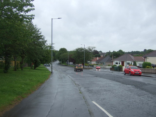
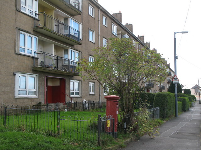
The area primarily consists of residential housing, with a mix of council-owned and privately-owned properties. The housing stock in Barlanark is mostly comprised of post-war tenement flats and semi-detached houses, providing a range of accommodation options for residents. The district is well-served by local amenities, including shops, schools, and healthcare facilities, which cater to the everyday needs of its residents.
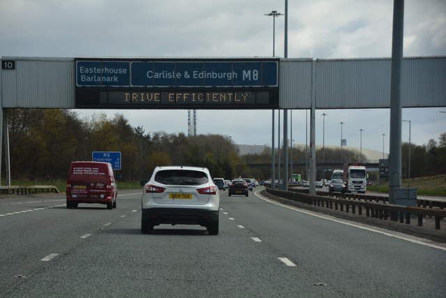
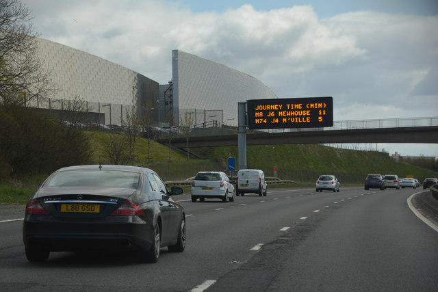
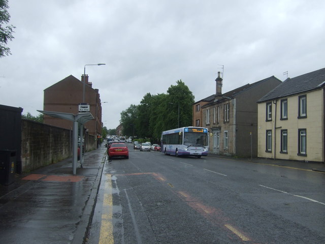
Barlanark benefits from excellent transport links, with regular bus services connecting the district to Glasgow city center and surrounding areas. The nearby Shettleston railway station also provides convenient access to the city's wider rail network. Additionally, the district is in close proximity to the M8 motorway, enabling easy travel by car to other parts of Scotland.
In terms of recreational spaces, Barlanark has several parks and green areas, offering residents opportunities for outdoor activities and leisure. The district has a strong sense of community, with local groups and organizations regularly organizing events and activities to bring residents together.
Overall, Barlanark is a residential district within Lanarkshire that provides a close-knit community atmosphere and a range of amenities, making it an attractive place to live for families and individuals alike.
If you have any feedback on the listing, please let us know in the comments section below.
Barlanark Images
Images are sourced within 2km of 55.857177/-4.1378435 or Grid Reference NS6664. Thanks to Geograph Open Source API. All images are credited.


Barlanark is located at Grid Ref: NS6664 (Lat: 55.857177, Lng: -4.1378435)
Unitary Authority: City of Glasgow
Police Authority: Greater Glasgow
What 3 Words
///jets.policy.oasis. Near Stepps, North Lanarkshire
Nearby Locations
Related Wikis
Barlanark
Barlanark ( bar-LAH-nərk) is a district in Glasgow. It is situated east of Budhill, Shettleston and Springboig, north west of Baillieston, west of Springhill...

Wellhouse
Wellhouse is a residential neighbourhood in the East End of the Scottish city of Glasgow. Since 2007 it has been part of the Baillieston administrative...
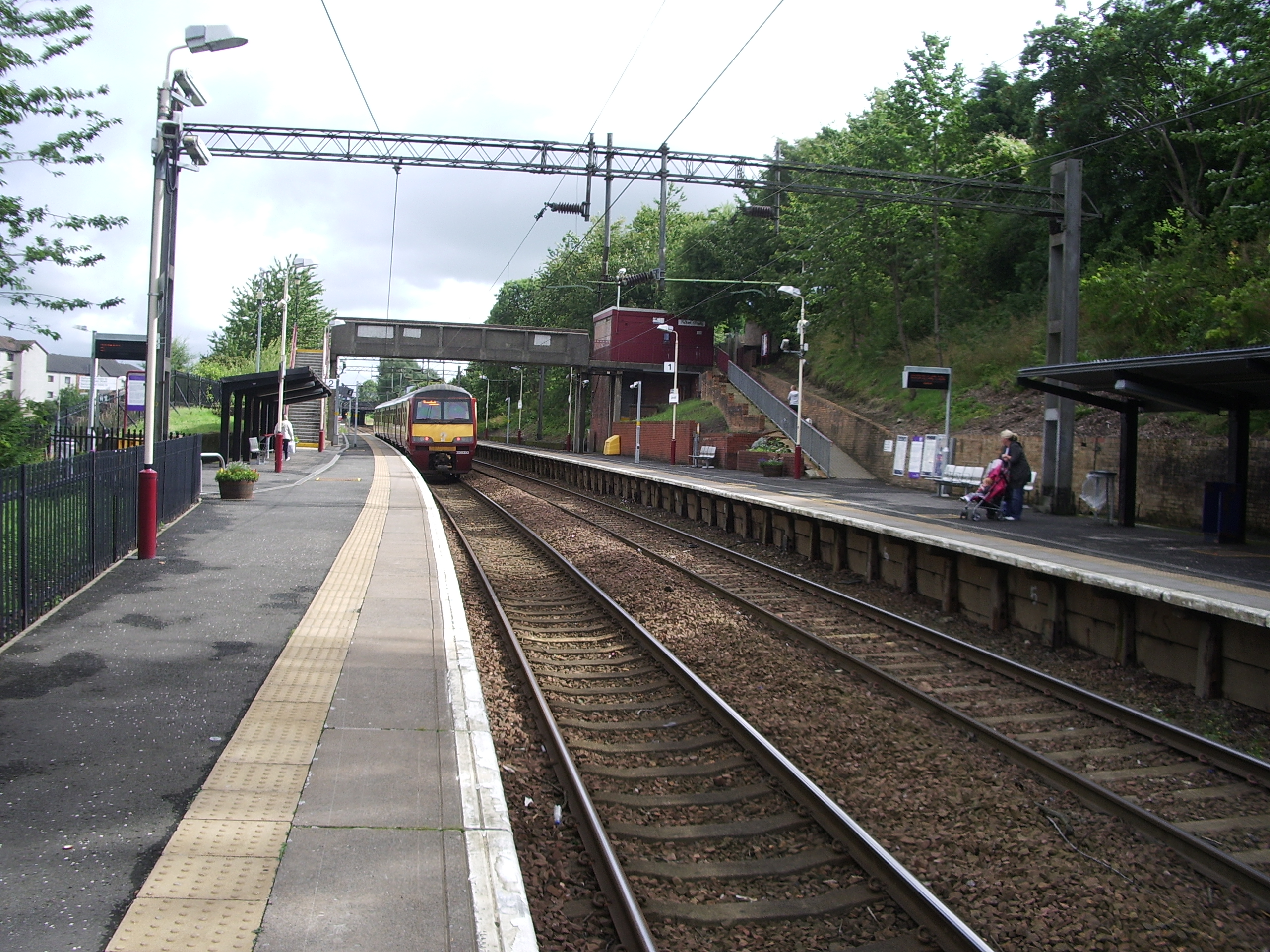
Garrowhill railway station
Garrowhill railway station serves the Garrowhill and Barlanark areas of Glasgow, Scotland. The railway station is 4¾ miles (7 km) east of Glasgow Queen...

Glasgow East (UK Parliament constituency)
Glasgow East is a constituency of the House of Commons of the UK Parliament, located in the city of Glasgow, Scotland. It elects one Member of Parliament...
Nearby Amenities
Located within 500m of 55.857177,-4.1378435Have you been to Barlanark?
Leave your review of Barlanark below (or comments, questions and feedback).