Musden Low
Hill, Mountain in Staffordshire Staffordshire Moorlands
England
Musden Low

Musden Low is a prominent hill located in the county of Staffordshire, England. Rising to an elevation of approximately 413 meters (1,355 feet), it is part of the Peak District National Park and is situated near the village of Longnor. Musden Low is a popular destination for hikers and nature enthusiasts due to its scenic beauty and panoramic views.
The hill is characterized by its rugged terrain, featuring rocky outcrops and steep slopes covered in heather, grasses, and scattered trees. The summit offers breathtaking vistas of the surrounding countryside, including the Staffordshire Moorlands and the Cheshire Plain. On a clear day, it is even possible to see as far as the Welsh mountains.
The area around Musden Low is rich in wildlife, with various bird species, including peregrine falcons and buzzards, often spotted soaring overhead. The hill is also home to a diverse range of flora, with wildflowers such as heather, bilberry, and cotton grass adding bursts of color to the landscape.
Several footpaths and trails lead to the summit of Musden Low, providing visitors with the opportunity to explore its natural beauty. The hill is easily accessible, with parking facilities available nearby. Additionally, there are picnic areas and benches along the trails, allowing visitors to take in the stunning views and enjoy a peaceful break surrounded by nature.
Overall, Musden Low in Staffordshire is a picturesque hill that offers a tranquil retreat for outdoor enthusiasts, providing a rewarding experience with its stunning vistas, diverse wildlife, and serene atmosphere.
If you have any feedback on the listing, please let us know in the comments section below.
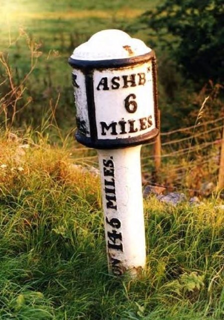
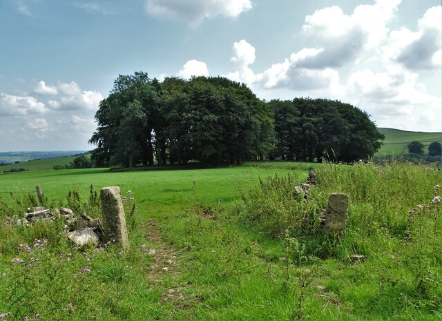
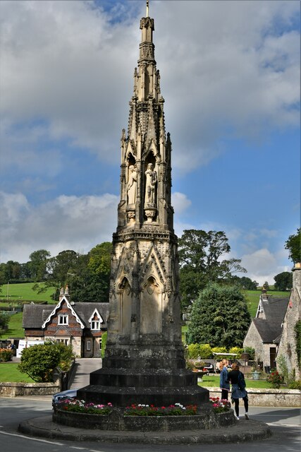
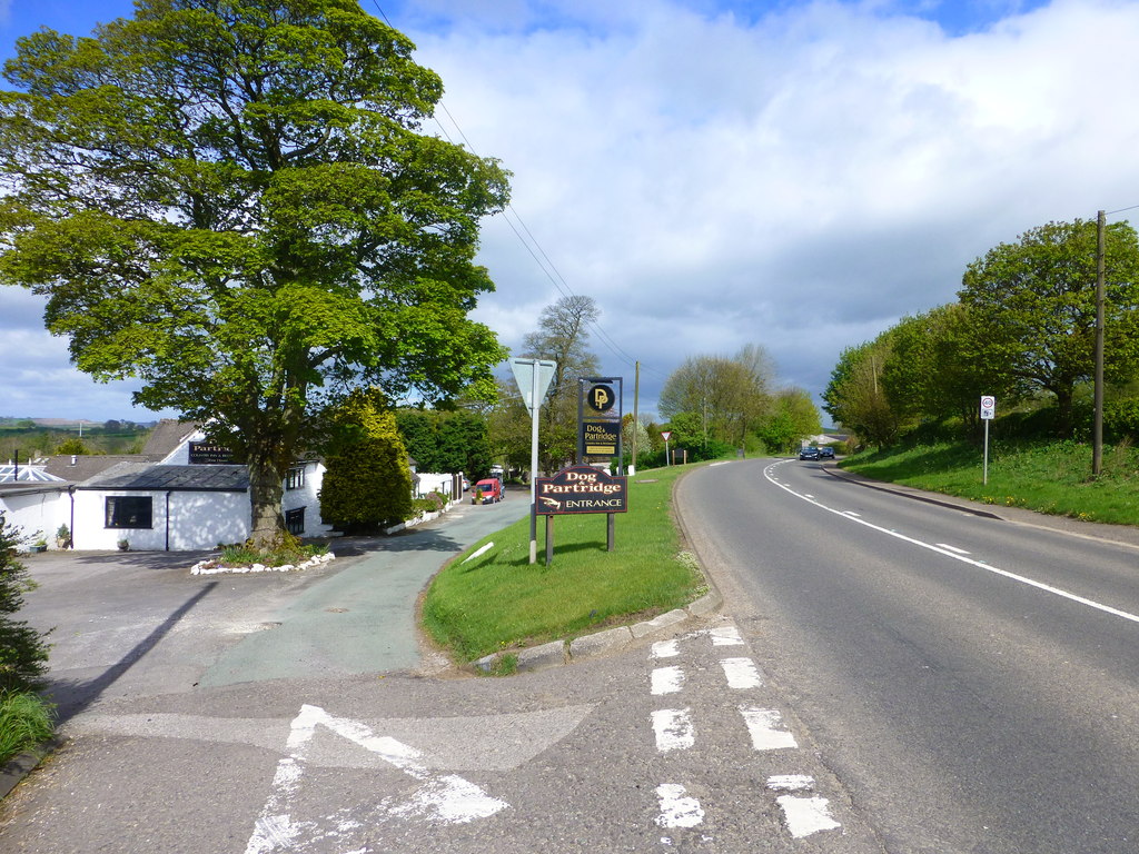
Musden Low Images
Images are sourced within 2km of 53.047855/-1.8249541 or Grid Reference SK1150. Thanks to Geograph Open Source API. All images are credited.


Musden Low is located at Grid Ref: SK1150 (Lat: 53.047855, Lng: -1.8249541)
Administrative County: Staffordshire
District: Staffordshire Moorlands
Police Authority: Staffordshire
What 3 Words
///wreck.rash.inches. Near Mayfield, Staffordshire
Nearby Locations
Related Wikis

Ilam Park
Ilam Park is a 158-acre (0.64 km2) country park situated in Ilam, on both banks of the River Manifold five miles (8 km) north west of Ashbourne, England...

White Peak Estate
The White Peak Estate (previously known as the South Peak Estate) of the National Trust comprises several land holdings in the Southern Peak District....

Calton, Staffordshire
Calton is a village and a former parochial chapelry and civil parish, now in the parish of Waterhouses, in the Staffordshire Moorlands district of Staffordshire...

Ilam, Staffordshire
Ilam ( ) is a village in the Staffordshire Peak District of England, lying on the River Manifold. The population of the civil parish as taken at the 2011...

Blore
Blore (grid reference SK137493) is a small village and parish in the Staffordshire Moorlands District of England. It is on an acclivity above Dovedale...
Swinscoe
Swinscoe is a small hamlet within the Staffordshire Moorlands in Staffordshire, England. Administratively, the hamlet is part of the civil parish of Blore...
Blore with Swinscoe
Blore with Swinscoe is a civil parish north-west of Ashbourne, in the Staffordshire Moorlands district of Staffordshire, England, on the edge of the Peak...
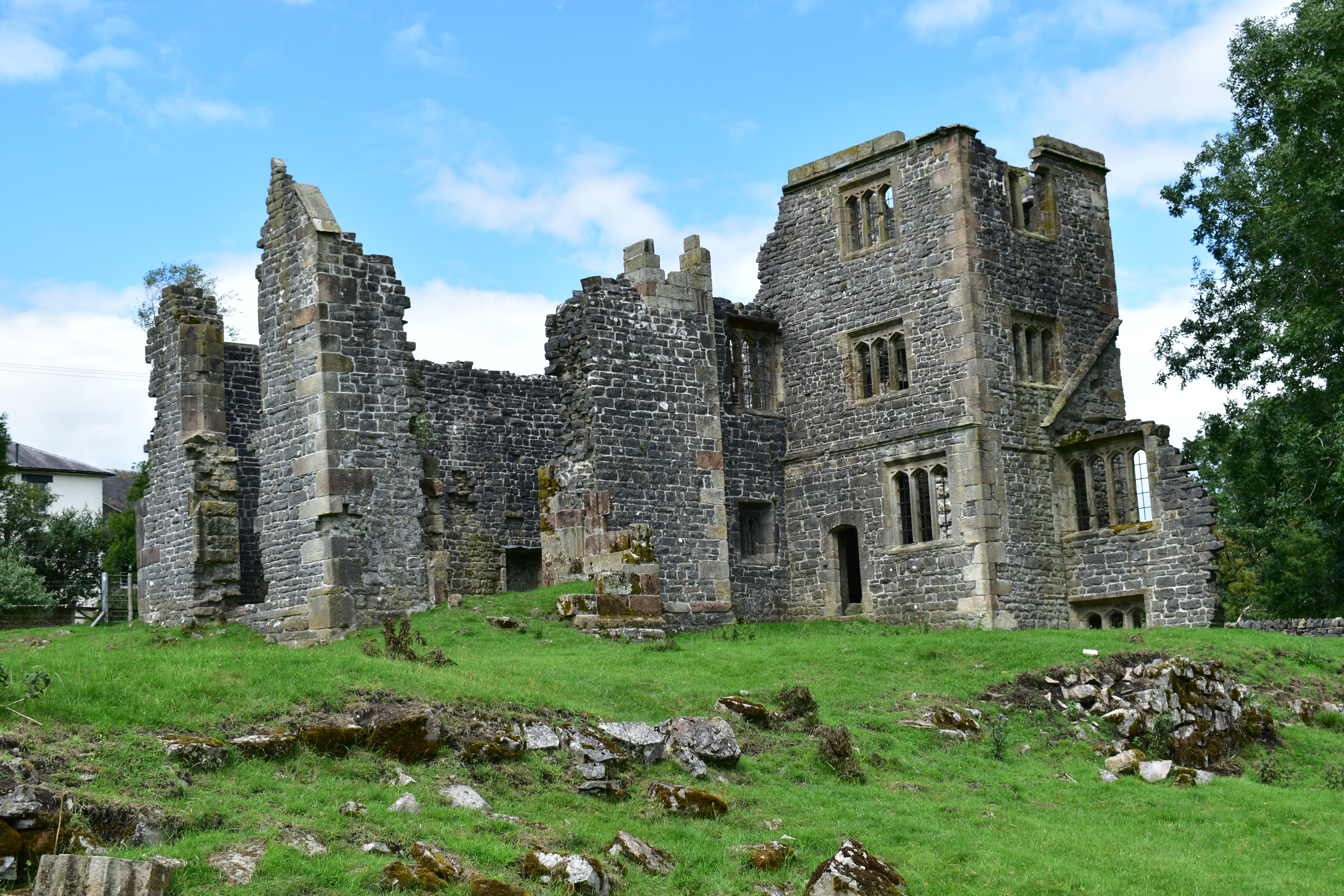
Throwley Old Hall
Throwley Old Hall is a ruined stately home near the village of Calton and adjacent to the River Manifold, in north-east Staffordshire, England. It is a...
Nearby Amenities
Located within 500m of 53.047855,-1.8249541Have you been to Musden Low?
Leave your review of Musden Low below (or comments, questions and feedback).