Wether Hill

Hill, Mountain in Yorkshire Richmondshire

England

Wether Hill

View Down Feldon Gill Despite being part of the MOD's Feldom Ranges the area is predominately sheep pasture. The ranges are normally closed to the public but access allowed on this occasion for a Junior Regional Orienteering competition.
View Down Feldon Gill Credit: Mick Garratt

Wether Hill is a prominent hill located in the county of Yorkshire, England. Situated in the northwestern part of the Yorkshire Dales National Park, it forms part of the Pennine Range, renowned for its stunning natural beauty and rugged landscapes. Rising to an elevation of 614 meters (2,014 feet), Wether Hill offers commanding views of the surrounding countryside.

The hill is characterized by its steep slopes and rocky terrain, making it a popular destination for hikers and outdoor enthusiasts. Its location within the national park provides ample opportunities for walking, climbing, and exploring the diverse flora and fauna of the region. Wether Hill is also a notable landmark for birdwatchers, as it attracts a variety of avian species, including peregrine falcons and red grouse.

The hill is easily accessible, with several footpaths and trails leading to its summit. One of the most popular routes starts from the nearby village of Hawes, leading visitors through picturesque valleys and past charming villages. At the top, tourists are rewarded with breathtaking vistas of the Yorkshire Dales, with rolling hills, verdant meadows, and meandering streams stretching out as far as the eye can see.

In addition to its natural beauty, Wether Hill has historical significance. It is believed to have been used as a lookout point during the Roman occupation of Britain, and remnants of ancient settlements have been discovered in the vicinity.

Overall, Wether Hill is a captivating destination that offers both natural splendor and a glimpse into the region's rich history.

If you have any feedback on the listing, please let us know in the comments section below.
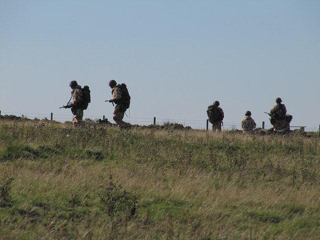
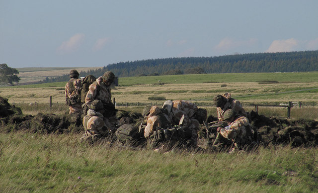
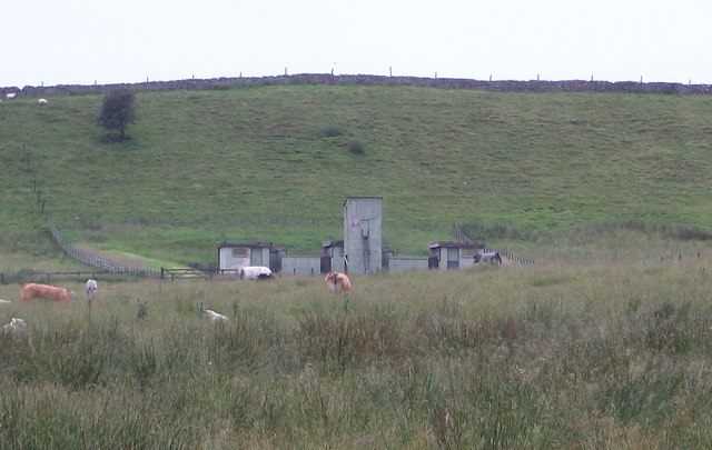
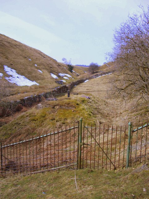
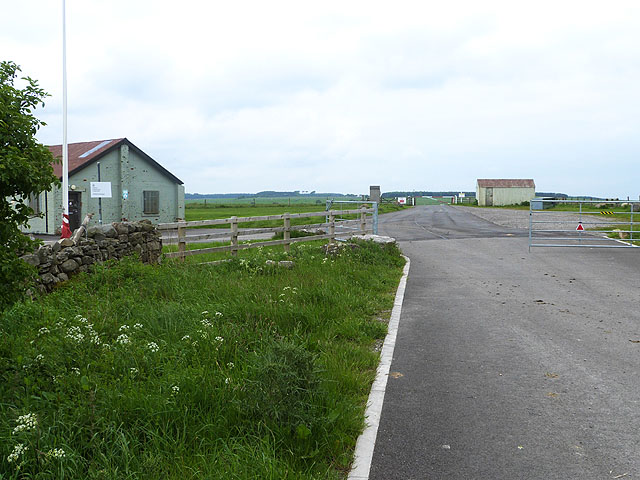
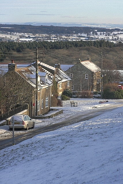
Wether Hill Images

Images are sourced within 2km of 54.43592/-1.8213948 or Grid Reference NZ1104. Thanks to Geograph Open Source API. All images are credited.

View Down Feldon Gill Despite being part of the MOD's Feldom Ranges the area is predominately sheep pasture. The ranges are normally closed to the public but access allowed on this occasion for a Junior Regional Orienteering competition.
View Down Feldon Gill
Despite being part of the MOD's Feldom Ranges the area is predominately sheep pasture. The ranges are normally closed to the public but access allowed on this occasion for a Junior Regional Orienteering competition.
Trainee soldiers The rather startling sight of armed soldiers on Feldom Ranges.
Trainee soldiers
The rather startling sight of armed soldiers on Feldom Ranges.
Military Exercises By the road, Feldom Ranges.
Military Exercises
By the road, Feldom Ranges.
Lime Kiln on High Moor Shown in use up to 1884. But was marked as disused on the 1895 map.
Lime Kiln on High Moor
Shown in use up to 1884. But was marked as disused on the 1895 map.
MOD Buildings on High Hag Moor Eastern edge of the Feldom Ranges, an area of Ministry of Defence land with live firing on days when the red flags are flying.
MOD Buildings on High Hag Moor
Eastern edge of the Feldom Ranges, an area of Ministry of Defence land with live firing on days when the red flags are flying.
Reservoir in Feldom Gill Covered reservoir and capped spring heads in Feldom Gill.
Reservoir in Feldom Gill
Covered reservoir and capped spring heads in Feldom Gill.
Scant remains of a level at Feldom Mine The veins at Feldom were mostly of lead (although some copper was found) and usually chased the vein with shallow shafts. This level is just below the main mining ground, and has a large spoil tip on the beck side.
Scant remains of a level at Feldom Mine
The veins at Feldom were mostly of lead (although some copper was found) and usually chased the vein with shallow shafts. This level is just below the main mining ground, and has a large spoil tip on the beck side.
Snow Cornices at Low Feldom
Hey Gill
Hey Gill
Feldom Gill
Feldom Gill
Fine Views from Clapgate Scar
Fossils in the limestone, Clapgate Scar
Windswept Beech Above Clapgate Scar.
Windswept Beech
Above Clapgate Scar.
Buddle House Farm Farm on Sturdy House Lane, complete with wind turbine.
Buddle House Farm
Farm on Sturdy House Lane, complete with wind turbine.
Old lime kilns on High Moor Green Lane Farm in the distance.
Old lime kilns on High Moor
Green Lane Farm in the distance.
Green Lane Farm
Green Lane Farm
Clapgate Gill The deeply incised upper alley of Clapgate Beck.
Clapgate Gill
The deeply incised upper alley of Clapgate Beck.
Entrance to Feldom Ranges One of the many (and probably the main) entrance to the extensive area of army ranges at Feldom above Swaledale. The road ahead is Feldom Lane leading to Low Feldom and East Feldom, two farms within the ranges.
Entrance to Feldom Ranges
One of the many (and probably the main) entrance to the extensive area of army ranges at Feldom above Swaledale. The road ahead is Feldom Lane leading to Low Feldom and East Feldom, two farms within the ranges.
Show me another place!

Wether Hill is located at Grid Ref: NZ1104 (Lat: 54.43592, Lng: -1.8213948)

Division: North Riding

Administrative County: North Yorkshire

District: Richmondshire

Police Authority: North Yorkshire

What 3 Words

///stick.something.loopholes. Near Barningham, Co. Durham

Nearby Locations

Wether Hill

Related Wikis

Gayles, North Yorkshire

Gayles is a village and civil parish in the Richmondshire district of North Yorkshire, England. Gayles is established in the district ward of Gilling West...

Kirby Hill, Richmondshire

Kirby Hill, historically also known as Kirby-on-the-Hill, is a village and civil parish in the Richmondshire district of North Yorkshire, England. The...

Applegarth, North Yorkshire

Applegarth is a historic settlement located north of the River Swale in Yorkshire, England. It lies about three-quarters of a mile north-east of the village...

Scott Trial

The Scott Trial is a British motorcycle trials competition dating from 1914 run over an off-road course of approximately 70 miles. One of the most challenging...

Ravensworth Castle (North Yorkshire)

Ravensworth Castle is a ruined 14th-century castle in the village of Ravensworth, North Yorkshire, England. It has been designated a Grade I listed building...

Whashton

Whashton is a village and civil parish in the Richmondshire district of North Yorkshire, England. == History == The name is of an uncertain origin and...

Dalton, west North Yorkshire

Dalton is a village and civil parish in North Yorkshire in England. Dalton is situated about six miles north-west of Richmond and about five miles south...

Ravensworth

Ravensworth is a village and civil parish in the Holmedale valley, within the Richmondshire district of North Yorkshire, England. It is approximately...

Nearby Amenities

Located within 500m of 54.43592,-1.8213948
Abandoned: yes
Historic: mine_shaft
Man Made: mineshaft
Lat/Long: 54.4332962/-1.8159808
Abandoned: yes
Historic: mine_shaft
Man Made: mineshaft
Lat/Long: 54.4332427/-1.8161436
Abandoned: yes
Historic: mine_shaft
Man Made: mineshaft
Lat/Long: 54.4331856/-1.8164558
Abandoned: yes
Historic: mine_shaft
Man Made: mineshaft
Lat/Long: 54.4331476/-1.816694
Abandoned: yes
Historic: mine_shaft
Man Made: mineshaft
Lat/Long: 54.4329955/-1.817712
Abandoned: yes
Historic: mine_shaft
Man Made: mineshaft
Lat/Long: 54.4333323/-1.8181183
Abandoned: yes
Historic: mine_shaft
Man Made: mineshaft
Lat/Long: 54.4329602/-1.8180389
Abandoned: yes
Historic: mine_shaft
Man Made: mineshaft
Lat/Long: 54.4329249/-1.8184266
Abandoned: yes
Historic: mine_shaft
Man Made: mineshaft
Lat/Long: 54.4328271/-1.8188749
Abandoned: yes
Historic: mine_shaft
Man Made: mineshaft
Lat/Long: 54.4327673/-1.8192018
Abandoned: yes
Historic: mine_shaft
Man Made: mineshaft
Lat/Long: 54.4326071/-1.8198462
Abandoned: yes
Historic: mine_shaft
Man Made: mineshaft
Lat/Long: 54.4325582/-1.8201871
Abandoned: yes
Historic: mine_shaft
Man Made: mineshaft
Lat/Long: 54.4325419/-1.8204487
Abandoned: yes
Historic: mine_shaft
Man Made: mineshaft
Lat/Long: 54.4366298/-1.8161034
Abandoned: yes
Historic: mine_shaft
Man Made: mineshaft
Lat/Long: 54.4365516/-1.8163724
Abandoned: yes
Historic: mine_shaft
Man Made: mineshaft
Lat/Long: 54.4364569/-1.816606
Abandoned: yes
Historic: mine_shaft
Man Made: mineshaft
Lat/Long: 54.4362469/-1.816967
Abandoned: yes
Historic: mine_shaft
Man Made: mineshaft
Lat/Long: 54.4361852/-1.8171156
Abandoned: yes
Historic: mine_shaft
Man Made: mineshaft
Lat/Long: 54.4361358/-1.8172855
Abandoned: yes
Historic: mine_shaft
Man Made: mineshaft
Lat/Long: 54.4361728/-1.8174695
Abandoned: yes
Historic: mine_shaft
Man Made: mineshaft
Lat/Long: 54.4360823/-1.8176465
Abandoned: yes
Historic: mine_shaft
Man Made: mineshaft
Lat/Long: 54.4358846/-1.8177031
Abandoned: yes
Historic: mine_shaft
Man Made: mineshaft
Lat/Long: 54.4360205/-1.8179155
Abandoned: yes
Historic: mine_shaft
Man Made: mineshaft
Lat/Long: 54.435967/-1.8179863
Abandoned: yes
Historic: mine_shaft
Man Made: mineshaft
Lat/Long: 54.4359995/-1.8182803
Abandoned: yes
Historic: mine_shaft
Man Made: mineshaft
Lat/Long: 54.4358473/-1.818299
Abandoned: yes
Historic: mine_shaft
Man Made: mineshaft
Lat/Long: 54.435774/-1.8181869
Abandoned: yes
Historic: mine_shaft
Man Made: mineshaft
Lat/Long: 54.4356599/-1.8181636
Abandoned: yes
Historic: mine_shaft
Man Made: mineshaft
Lat/Long: 54.4356464/-1.8184064
Abandoned: yes
Historic: mine_shaft
Man Made: mineshaft
Lat/Long: 54.4355975/-1.8185325
Abandoned: yes
Historic: mine_shaft
Man Made: mineshaft
Lat/Long: 54.4356952/-1.8186352
Abandoned: yes
Historic: mine_shaft
Man Made: mineshaft
Lat/Long: 54.4357985/-1.8186913
Abandoned: yes
Historic: mine_shaft
Man Made: mineshaft
Lat/Long: 54.4356871/-1.8190135
Abandoned: yes
Historic: mine_shaft
Man Made: mineshaft
Lat/Long: 54.4356518/-1.8192097
Abandoned: yes
Historic: mine_shaft
Man Made: mineshaft
Lat/Long: 54.4356029/-1.8193731
Abandoned: yes
Historic: mine_shaft
Man Made: mineshaft
Lat/Long: 54.4356083/-1.8189995
Abandoned: yes
Historic: mine_shaft
Man Made: mineshaft
Lat/Long: 54.4355784/-1.819205
Abandoned: yes
Historic: mine_shaft
Man Made: mineshaft
Lat/Long: 54.4355594/-1.8187427
Abandoned: yes
Historic: mine_shaft
Man Made: mineshaft
Lat/Long: 54.4355234/-1.818879
Abandoned: yes
Historic: mine_shaft
Man Made: mineshaft
Lat/Long: 54.4354925/-1.8189852
Abandoned: yes
Historic: mine_shaft
Man Made: mineshaft
Lat/Long: 54.4354349/-1.8191763
Abandoned: yes
Historic: mine_shaft
Man Made: mineshaft
Lat/Long: 54.4353875/-1.8193533
Abandoned: yes
Historic: mine_shaft
Man Made: mineshaft
Lat/Long: 54.4354966/-1.8195444
Abandoned: yes
Historic: mine_shaft
Man Made: mineshaft
Lat/Long: 54.4354801/-1.8196506
Abandoned: yes
Historic: mine_shaft
Man Made: mineshaft
Lat/Long: 54.435371/-1.8194913
Abandoned: yes
Historic: mine_shaft
Man Made: mineshaft
Lat/Long: 54.4355954/-1.8195232
Abandoned: yes
Historic: mine_shaft
Man Made: mineshaft
Lat/Long: 54.4354452/-1.8198205
The data included in this document is from www.openstreetmap.org. The data is made available under ODbL.

Have you been to Wether Hill?

Leave your review of Wether Hill below (or comments, questions and feedback).