Quarry Hill
Hill, Mountain in Durham
England
Quarry Hill
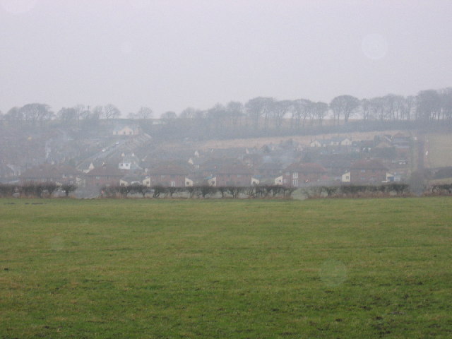
Quarry Hill is a prominent geographical feature located in the city of Durham, England. Situated in the southern part of the city, Quarry Hill is a hill that forms part of the Durham Peninsula, which is bordered by the rivers Wear and Browney.
The hill takes its name from the historic quarrying activities that took place in the area, particularly during the 18th and 19th centuries. Quarrying was a significant industry in Durham, and the stone extracted from Quarry Hill was used for various purposes, including construction.
Standing at an elevation of approximately 300 feet, Quarry Hill offers picturesque views of the surrounding area. Its location makes it a popular spot for outdoor enthusiasts and nature lovers, who can enjoy hiking and exploring the hill's trails. The area is also home to diverse flora and fauna, adding to its natural beauty.
Nearby, visitors can find the famous Durham Cathedral and Durham Castle, both UNESCO World Heritage Sites. These historical landmarks further enhance the appeal of Quarry Hill, attracting tourists from around the world.
Quarry Hill is easily accessible, with several roads leading to its base and ample parking available nearby. Additionally, public transportation options, such as buses, provide convenient access to the area.
Overall, Quarry Hill in Durham offers a combination of natural beauty, historical significance, and recreational opportunities, making it a must-visit destination for both locals and tourists alike.
If you have any feedback on the listing, please let us know in the comments section below.
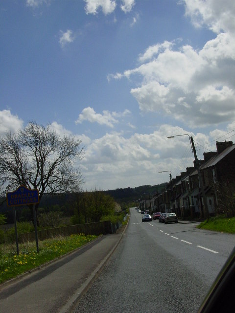
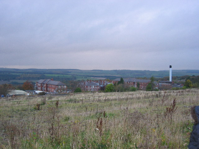
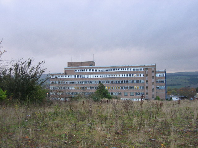
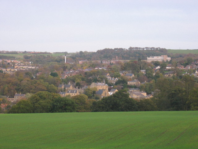
Quarry Hill Images
Images are sourced within 2km of 54.872072/-1.8289801 or Grid Reference NZ1153. Thanks to Geograph Open Source API. All images are credited.


Quarry Hill is located at Grid Ref: NZ1153 (Lat: 54.872072, Lng: -1.8289801)
Unitary Authority: County Durham
Police Authority: Durham
What 3 Words
///dads.signal.bunch. Near Consett, Co. Durham
Nearby Locations
Related Wikis
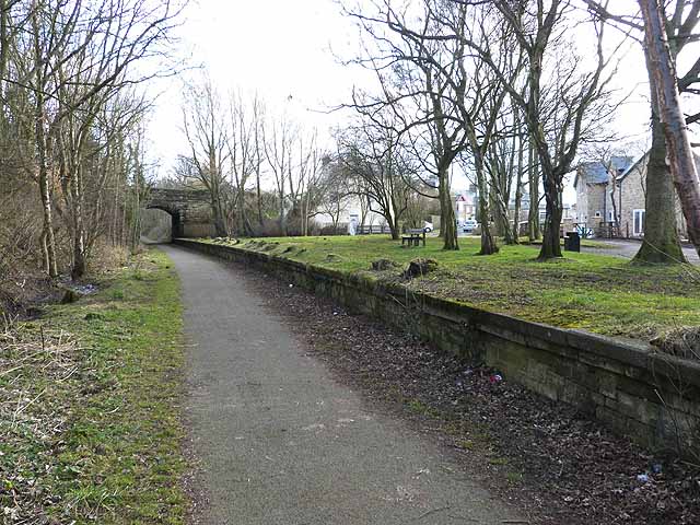
Shotley Bridge railway station
Shotley Bridge railway station served the village of Shotley Bridge, County Durham, England from 1867 to 1953 on the Derwent Valley Railway. == History... ==

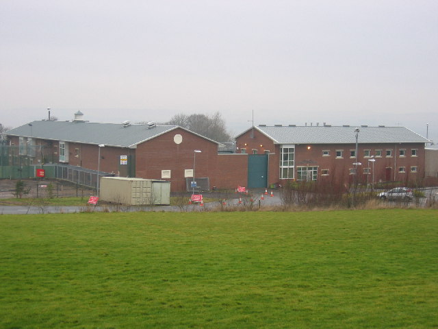
Shotley Bridge Hospital
Shotley Bridge Hospital is a healthcare facility in Shotley Bridge, County Durham, England. It is managed by the County Durham and Darlington NHS Foundation...

Ebchester
Ebchester is a village in County Durham, England. It is situated to the north of Consett and to the south east of Whittonstall and the hamlet of Newlands...

Broom Hill, County Durham
Broom Hill is a small village in County Durham, England. It is situated to the north of Consett, near Ebchester and Medomsley. == References ==
Nearby Amenities
Located within 500m of 54.872072,-1.8289801Have you been to Quarry Hill?
Leave your review of Quarry Hill below (or comments, questions and feedback).