Currock Hill
Hill, Mountain in Durham
England
Currock Hill
Currock Hill, located in Durham, England, is a prominent geographical feature that lies within the North Pennines Area of Outstanding Natural Beauty. Standing at an elevation of 2,415 feet (736 meters), it is considered one of the highest peaks in County Durham. The hill is situated near the village of Wolsingham and offers breathtaking panoramic views of the surrounding countryside.
Currock Hill is characterized by its distinctive conical shape, which is the result of its volcanic origins. It is composed primarily of basalt rock, created during volcanic activity millions of years ago. The hill's slopes are covered in heather and grasses, providing a haven for various indigenous plant and animal species.
Hikers and nature enthusiasts are drawn to Currock Hill for its stunning vistas and the opportunity to experience the tranquility of the natural environment. There are several walking trails that lead to the summit, catering to different fitness levels and preferences. The ascent can be challenging in parts, but the reward is well worth it as visitors are rewarded with breathtaking views stretching across the North Pennines and the surrounding countryside.
Currock Hill also holds historical significance, with evidence of human occupation dating back to the Neolithic era. Archaeological remains, including flint tools and pottery fragments, have been discovered in the vicinity of the hill, providing insight into past human activity in the area.
Overall, Currock Hill is a captivating natural landmark in Durham, offering outdoor enthusiasts a chance to explore its beauty and history while taking in the awe-inspiring scenery.
If you have any feedback on the listing, please let us know in the comments section below.
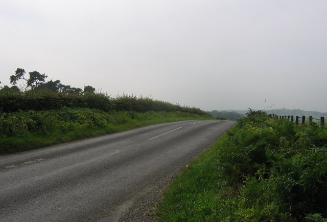
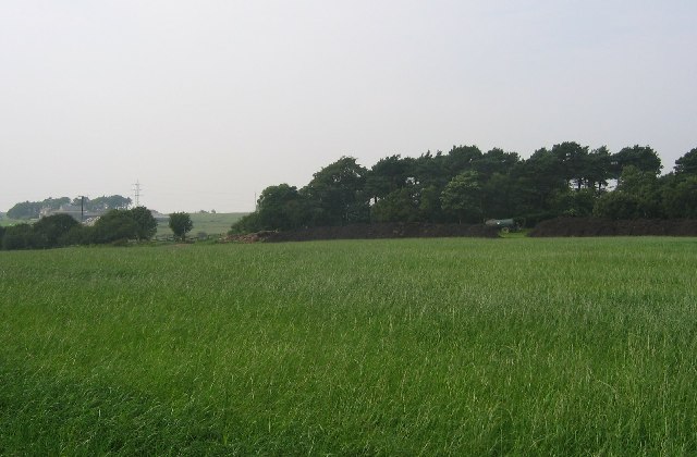
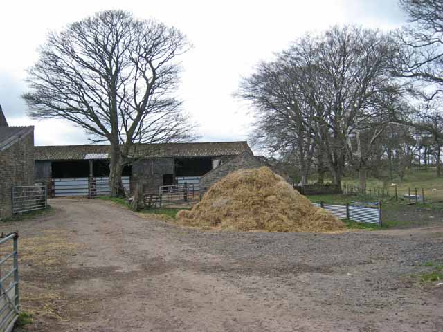
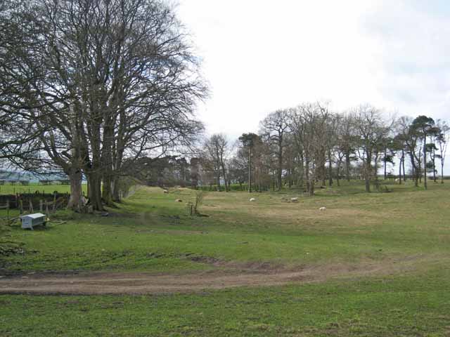
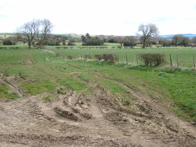
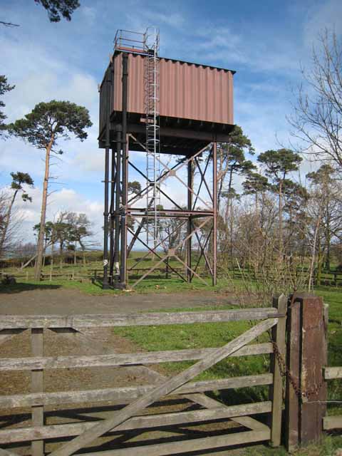
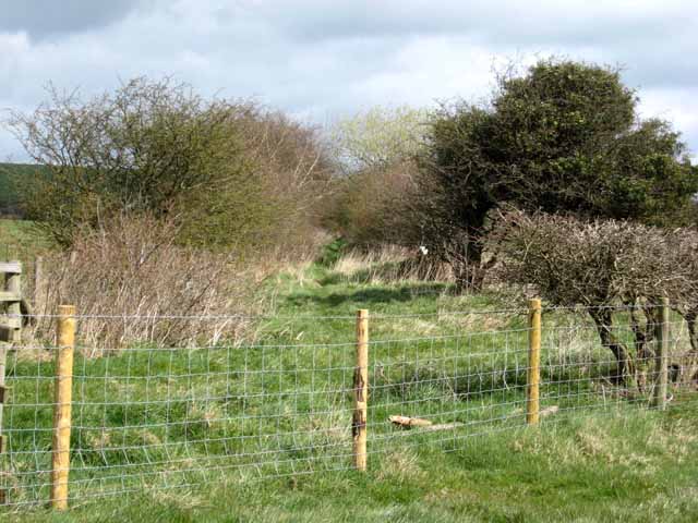
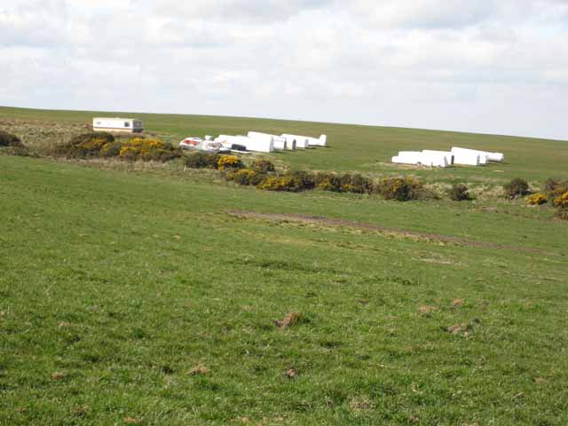
Currock Hill Images
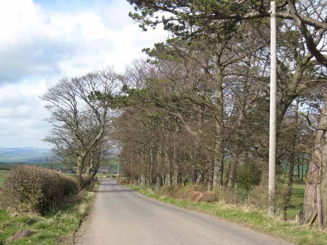
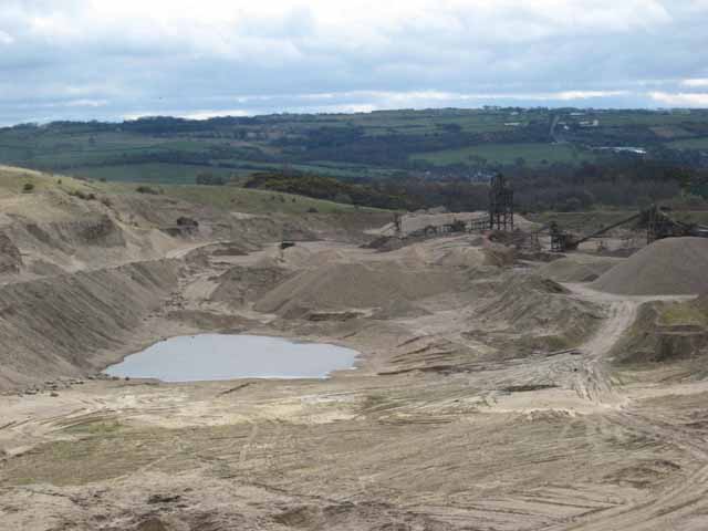
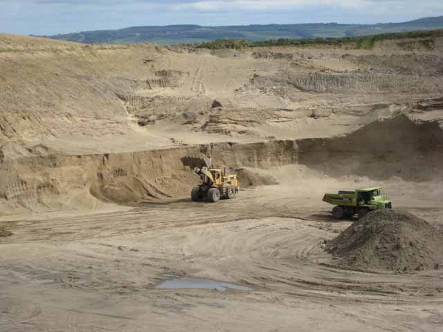
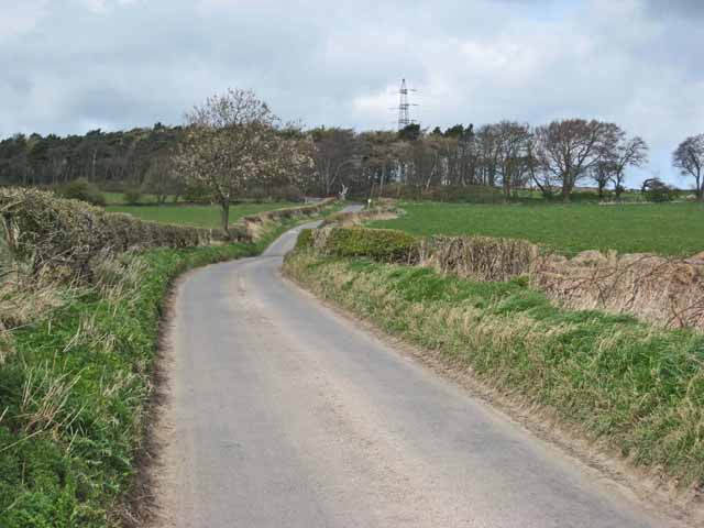
Images are sourced within 2km of 54.927435/-1.8342228 or Grid Reference NZ1059. Thanks to Geograph Open Source API. All images are credited.


Currock Hill is located at Grid Ref: NZ1059 (Lat: 54.927435, Lng: -1.8342228)
Unitary Authority: Gateshead
Police Authority: Northumbria
What 3 Words
///unrealistic.topics.until. Near Chopwell, Tyne & Wear
Nearby Locations
Related Wikis

Currock Hill
Currock Hill is a hill in Tyne and Wear, England, which at 259 m (850 ft) is the highest point in the county, and in the metropolitan borough of Gateshead...

Leadgate, Northumberland
Leadgate is a hamlet just outside Chopwell in southern Northumberland, England. It is 4.5 miles (7.3 km) southeast of Stocksfield and 1 mile (1.8 km) northwest...
Chopwell Colliery
Chopwell Colliery was a coal mine situated at Chopwell, in Gateshead, Tyne and Wear. The pit was first sunk in 1781, and was closed on 25 November 1966...

Chopwell
Chopwell is a village in the Gateshead district, in the county of Tyne and Wear, England, 3 miles (4.8 km) west of Rowlands Gill and 1 mile (1.6 km) north...
Nearby Amenities
Located within 500m of 54.927435,-1.8342228Have you been to Currock Hill?
Leave your review of Currock Hill below (or comments, questions and feedback).