Bole Hill

Hill, Mountain in Derbyshire High Peak

England

Bole Hill

Tunstead Works (Quarry) near Buxton The largest quarry complex in the UK.
Tunstead Works (Quarry) near Buxton Credit: Colin Park

Bole Hill is a prominent hill located in Derbyshire, England. It is situated near the village of Holmesfield and stands at an elevation of approximately 1,100 feet (335 meters) above sea level. This hill is known for its breathtaking panoramic views of the surrounding area, including the Peak District National Park.

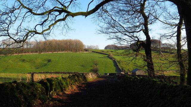
The hill is predominantly covered in dense woodland, which adds to its natural beauty and provides a haven for various wildlife species. The forest consists of a mix of deciduous and coniferous trees, offering a diverse and vibrant landscape throughout the year.

Bole Hill is a popular destination for outdoor enthusiasts, offering various walking trails and paths that wind through the hillside. These trails cater to individuals of all abilities, providing options for both leisurely strolls and more challenging hikes. The hill's summit provides an ideal vantage point, allowing visitors to soak in the stunning vistas of the rolling countryside and nearby reservoirs.

Additionally, Bole Hill has a rich historical background. It is believed to have been inhabited since prehistoric times, with evidence of ancient settlements discovered in the surrounding area. The hill's name is derived from the Old English word "bole," meaning "a swelling or rounded hill," which reflects its distinctive shape.

In conclusion, Bole Hill in Derbyshire offers a picturesque and tranquil setting, combining natural beauty, recreational opportunities, and historical significance. Whether one seeks a peaceful retreat, an opportunity for physical activity, or a glimpse into the region's past, Bole Hill provides an enriching experience for all who visit.

If you have any feedback on the listing, please let us know in the comments section below.
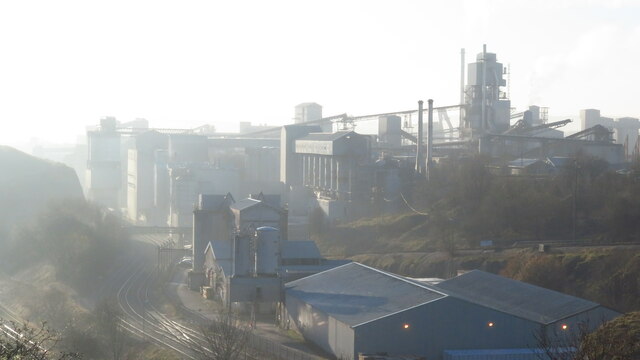
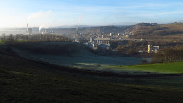
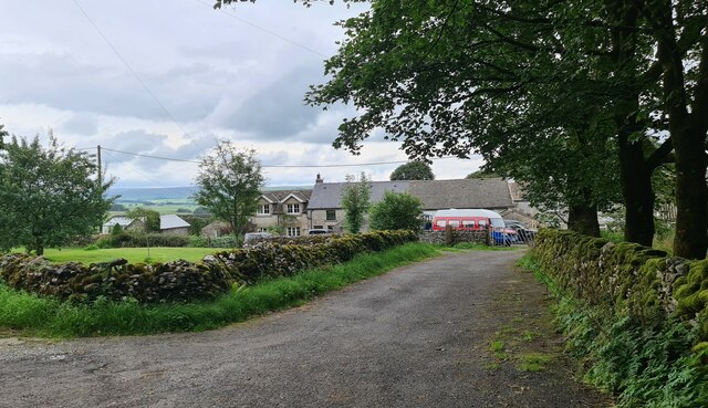
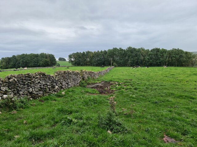
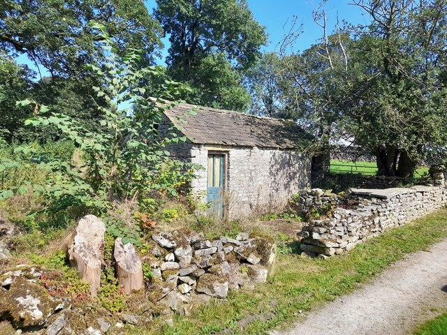
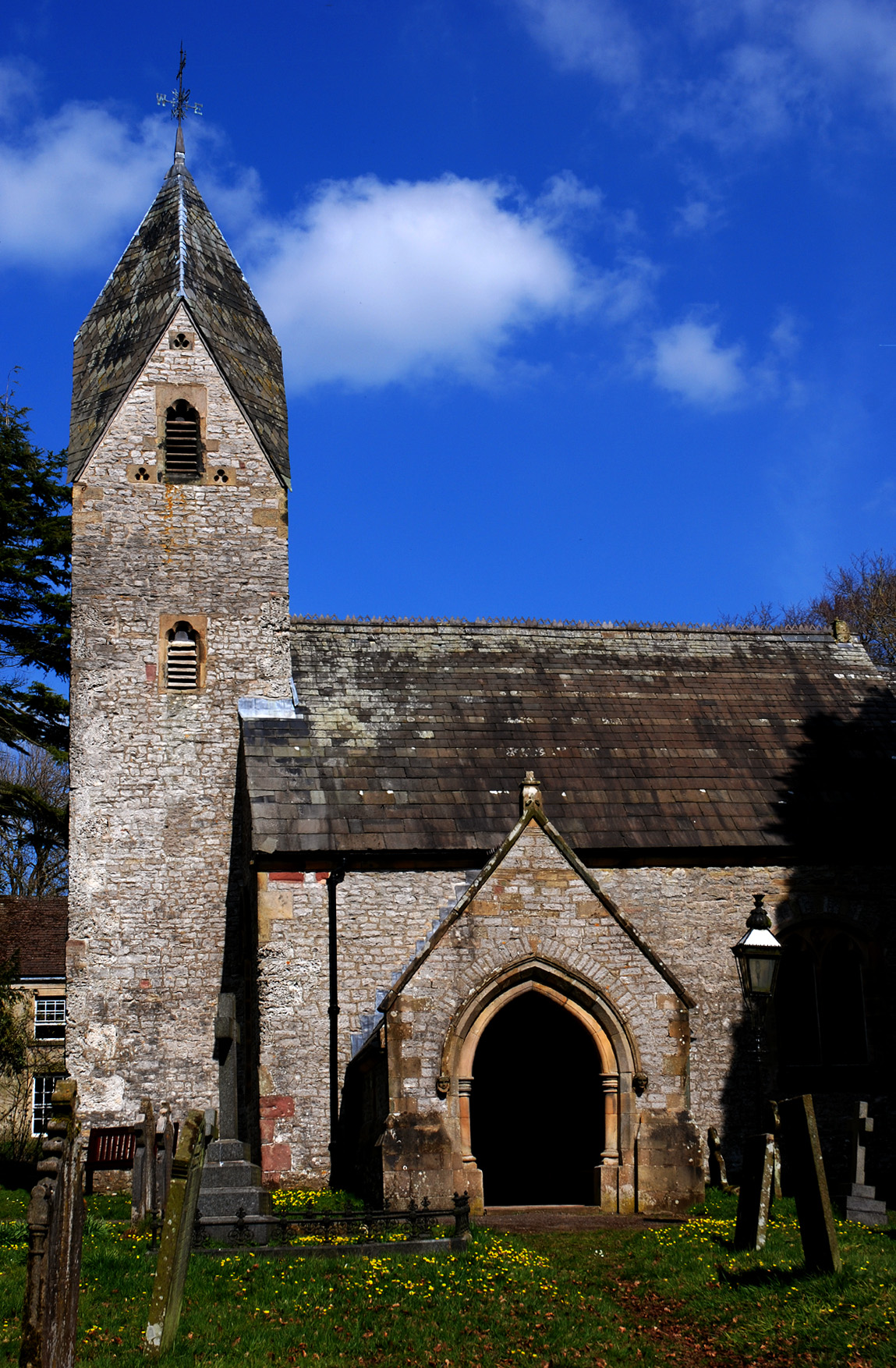
Bole Hill Images

Images are sourced within 2km of 53.277454/-1.8406803 or Grid Reference SK1075. Thanks to Geograph Open Source API. All images are credited.

Tunstead Works (Quarry) near Buxton The largest quarry complex in the UK.
Tunstead Works (Quarry) near Buxton
The largest quarry complex in the UK.
Tunstead Works (Quarry) near Buxton
Path leading east from Tunstead village
The top end of Peter Dale at Dale Head near Wheston
Flooded path at lower end of Hay Dale
Step stile at the top of Peter Dale The footpath through Peter Dale reaches the lane that divides Peter Dale from Hay Dale.
Step stile at the top of Peter Dale
The footpath through Peter Dale reaches the lane that divides Peter Dale from Hay Dale.
Hill Green, Hargatewall
Road towards Wormhill
Barn at Tunstead
Barn at Tunstead
Track towards Hargatewall From Tunstead
Track towards Hargatewall
From Tunstead
Fields at Tunstead
Fields at Tunstead
Track towards Hargatewall From Tunstead
Track towards Hargatewall
From Tunstead
Field barn at Tunstead
Old outbuilding at Elm Tree House First appears on Ordnance Survey maps in the early 20th century.
Old outbuilding at Elm Tree House
First appears on Ordnance Survey maps in the early 20th century.
Old Moor limestone quarry
Limestone quarry returning to nature This limestone quarry is still being worked but this northern section is being encouraged to return to nature. Within the next 20 years the whole quarry will receive this treatment and be handed over to the Peak Park Authority.
Limestone quarry returning to nature
This limestone quarry is still being worked but this northern section is being encouraged to return to nature. Within the next 20 years the whole quarry will receive this treatment and be handed over to the Peak Park Authority.
Primary crusher in a limestone quarry Huge dump trucks <a href="https://www.geograph.org.uk/photo/7659983">SK1074 : A 100 tonne dump truck</a> carry the quarried stone to this building where it is crushed to sizes ranging from 250mm to dust.
Primary crusher in a limestone quarry
Huge dump trucks SK1074 : A 100 tonne dump truck carry the quarried stone to this building where it is crushed to sizes ranging from 250mm to dust.
A 100 tonne dump truck Used to carry quarried stone to the primary crusher <a href="https://www.geograph.org.uk/photo/7659981">SK1073 : Primary crusher in a limestone quarry</a>
A 100 tonne dump truck
Used to carry quarried stone to the primary crusher SK1073 : Primary crusher in a limestone quarry
Show me another place!

Bole Hill is located at Grid Ref: SK1075 (Lat: 53.277454, Lng: -1.8406803)

Administrative County: Derbyshire

District: High Peak

Police Authority: Derbyshire

What 3 Words

///stunts.rationed.sulky. Near Dove Holes, Derbyshire

Nearby Locations

Bole Hill

Related Wikis

Nearby Amenities

Located within 500m of 53.277454,-1.8406803
Fixme: stile of gate?
Lat/Long: 53.2755304/-1.842271
Fixme: stile of gate?
Lat/Long: 53.2755455/-1.8422343
Fixme: stile of gate?
Lat/Long: 53.2750075/-1.8452314
The data included in this document is from www.openstreetmap.org. The data is made available under ODbL.

Have you been to Bole Hill?

Leave your review of Bole Hill below (or comments, questions and feedback).