Fox Hill

Hill, Mountain in Northumberland

England

Fox Hill

Road over Labourn's Fell
Road over Labourn's Fell Credit: Richard Webb

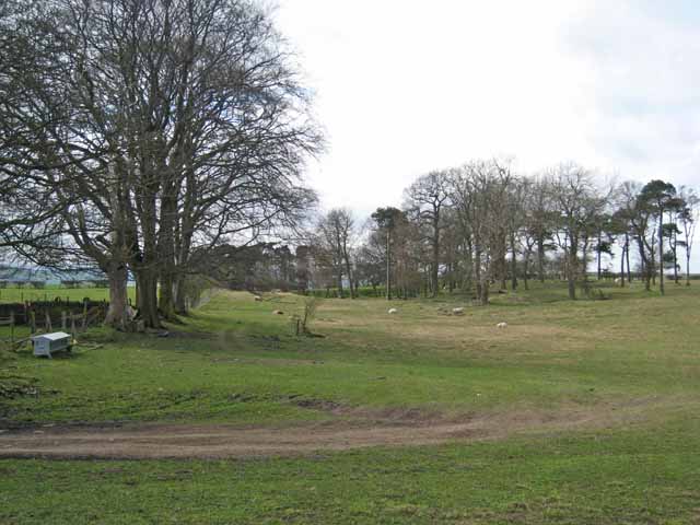
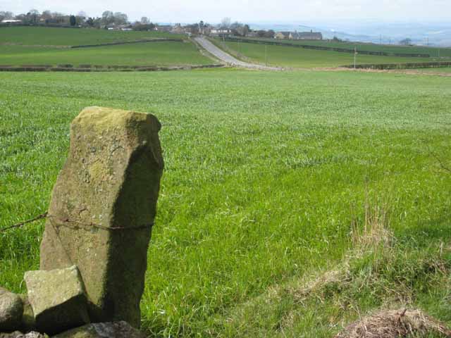
Fox Hill is a prominent hill located in the county of Northumberland in northeastern England. Standing at an elevation of approximately 348 meters (1,142 feet), it is a significant feature of the local landscape. The hill is situated in the rural area of Northumberland, surrounded by picturesque countryside and offering breathtaking views of the surrounding area.

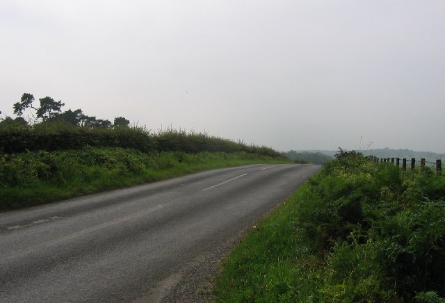
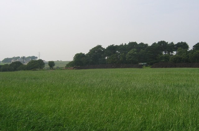
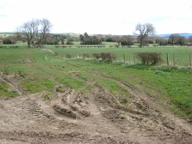
Covered in lush green vegetation, Fox Hill boasts a diverse range of plant and animal species, making it a popular destination for nature enthusiasts and hikers. The hill is known for its well-maintained walking trails, allowing visitors to explore its natural beauty at their own pace. The paths wind through woodlands, open fields, and gentle slopes, providing a peaceful and immersive experience for those seeking tranquility in nature.

At the summit of Fox Hill, visitors are rewarded with panoramic views of the Northumberland countryside, including the Cheviot Hills to the west and the North Sea to the east. On clear days, it is even possible to see as far as the Scottish Borders.

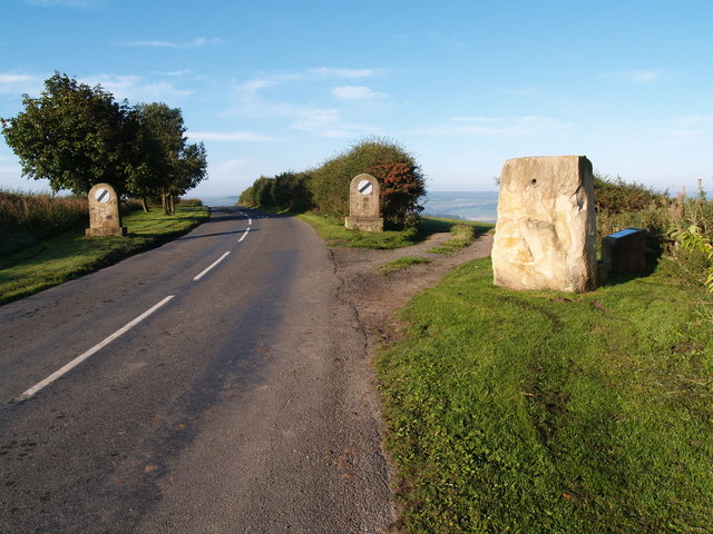
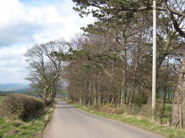
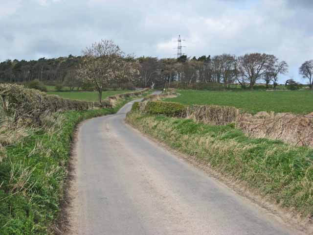
The hill is easily accessible by road and is located near several charming villages, offering amenities such as cafes, pubs, and accommodation options for those wishing to make Fox Hill their base for exploring the region. Whether it is for a leisurely stroll or a more challenging hike, Fox Hill provides a memorable outdoor experience for visitors of all ages and abilities.

If you have any feedback on the listing, please let us know in the comments section below.
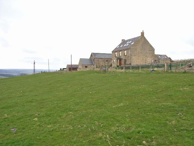
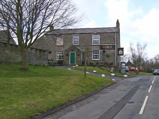
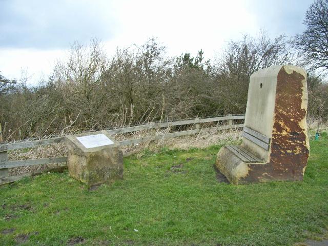
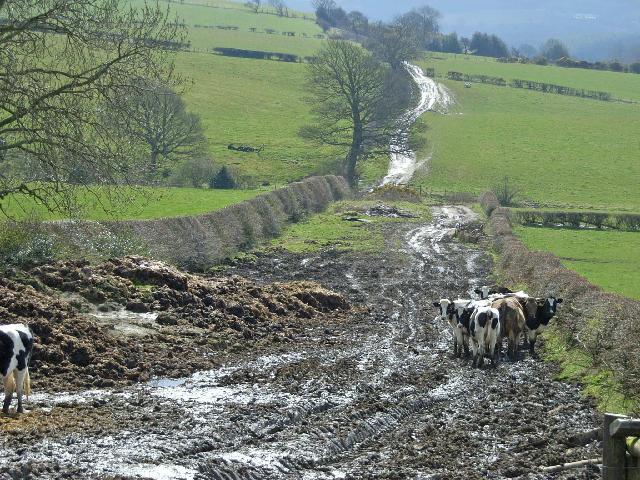
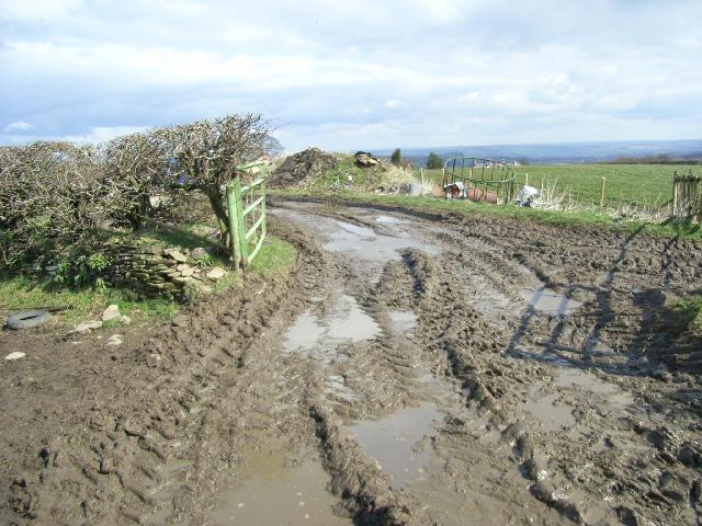
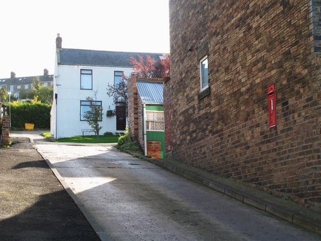
Fox Hill Images

Images are sourced within 2km of 54.93397/-1.8647537 or Grid Reference NZ0859. Thanks to Geograph Open Source API. All images are credited.

Road over Labourn's Fell
Turkey Muck, Labourn's Fell By product of industrial poultry raising being used as fertiliser. There is a danger however of heavy metal contamination, I have experienced problems with copper.
Turkey Muck, Labourn's Fell
By product of industrial poultry raising being used as fertiliser. There is a danger however of heavy metal contamination, I have experienced problems with copper.
Hedley on the Hill village limits and Millennium Stone The road climbs up the steep hill from Stocksfield and enters the village from the west. The Millennium Stone has a seat on the other side for those wanting to enjoy the grand view of the Tyne valley.
Hedley on the Hill village limits and Millennium Stone
The road climbs up the steep hill from Stocksfield and enters the village from the west. The Millennium Stone has a seat on the other side for those wanting to enjoy the grand view of the Tyne valley.
Airey Hill Farm
Airey Hill Farm
Pasture and trees, Airey Hill Farm
Hedley on the Hill A village perched perched high on the crest of the ridge between the Derwent valley and Tynedale at an altitudeof about 240 metres.
Hedley on the Hill
A village perched perched high on the crest of the ridge between the Derwent valley and Tynedale at an altitudeof about 240 metres.
Tree-lined lane near Hedley on the Hill North of Airey Hill Farm.
Tree-lined lane near Hedley on the Hill
North of Airey Hill Farm.
Country lane, Labourn's Fell A short way south of Airey Hill Farm
Country lane, Labourn's Fell
A short way south of Airey Hill Farm
Field entrance, Labourn's Fell A very rutted gateway.
Field entrance, Labourn's Fell
A very rutted gateway.
Water tower on Currock Hill At 250 metres, the highest point on the ridge separating the Derwent valley from Tynedale.
Water tower on Currock Hill
At 250 metres, the highest point on the ridge separating the Derwent valley from Tynedale.
Northumbria Gliding Club Situated high on the ridge between the Derwent valley and Tynedale. <span class="nowrap"><a title="https://www.northumbriagliding.co.uk/" rel="nofollow ugc noopener" href="https://www.northumbriagliding.co.uk/">Link</a><img style="margin-left:2px;" alt="External link" title="External link - shift click to open in new window" src="https://s1.geograph.org.uk/img/external.png" width="10" height="10"/></span>
Northumbria Gliding Club
Situated high on the ridge between the Derwent valley and Tynedale. LinkExternal link
T-Rex, Hedley on the Hill
Hedley Grange Farm Farm stands high on the hillside, just below Hedley-on-the-Hill village.
Hedley Grange Farm
Farm stands high on the hillside, just below Hedley-on-the-Hill village.
The Feathers Public house in the dramatically sited village of Hedley-on-the-Hill. The name the Feathers derives from the feathers on the plumes of the horses used to carry lead ore from the mines at Allendale to the smelters at Blaydon. Hedley was an overnight stop on the "Lead road" in the 19th century.
The Feathers
Public house in the dramatically sited village of Hedley-on-the-Hill. The name the Feathers derives from the feathers on the plumes of the horses used to carry lead ore from the mines at Allendale to the smelters at Blaydon. Hedley was an overnight stop on the "Lead road" in the 19th century.
Hedley-on-the-Hill Millennium Stone A seat has been factored in to the Millennium Stone which stands at the western end of the village. An interpretive plaque stands close by. From the seat, dramatic views of the Tyne valley and of Northumberland can be seen.
Hedley-on-the-Hill Millennium Stone
A seat has been factored in to the Millennium Stone which stands at the western end of the village. An interpretive plaque stands close by. From the seat, dramatic views of the Tyne valley and of Northumberland can be seen.
Footpath below Hedley-on-the-Hill This footpath running from Hedley-on-the-Hill to Spring House has been rendered virtually impassable by cattle.
Footpath below Hedley-on-the-Hill
This footpath running from Hedley-on-the-Hill to Spring House has been rendered virtually impassable by cattle.
Farm road at Hedley-on-the-Hill Extremely muddy going
Farm road at Hedley-on-the-Hill
Extremely muddy going
End of  the Runway View of a Rainbow near the end of the Gliding club runway at Currock Hill during flight operations, hence the mobile control tower.
End of the Runway
View of a Rainbow near the end of the Gliding club runway at Currock Hill during flight operations, hence the mobile control tower.
Show me another place!

Fox Hill is located at Grid Ref: NZ0859 (Lat: 54.93397, Lng: -1.8647537)

Unitary Authority: Northumberland

Police Authority: Northumbria

What 3 Words

///visa.rebounder.lighter. Near Stocksfield, Northumberland

Related Wikis

Hedley on the Hill

Hedley on the Hill is a village in Northumberland, west of Newcastle upon Tyne. It is located between the valley of the River Derwent, and the watershed...

Mickley, Northumberland

Mickley is a cluster of small settlements and former civil parish, now in the parish of Prudhoe, in the Tyne Valley, between Prudhoe and Stocksfield in...

Currock Hill

Currock Hill is a hill in Tyne and Wear, England, which at 259 m (850 ft) is the highest point in the county, and in the metropolitan borough of Gateshead...

West Mickley

West Mickley is a hamlet east of Stocksfield, in the southern part of Northumberland, England. Along with the neighbouring settlements of High Mickley...
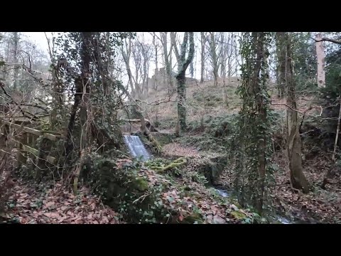
Related Videos

Prudhoe and Wylam with Interesting Walks NE (9.6 miles) - Another mild day

Such natural beauty, so close to industry and the hustle and bustle of the nearby towns. Hard in places with a long, steep climb up ...

Prudhoe, Northumberland【4K】| Town Centre Walk 2021

Located just a stone's throw away from Newcastle upon Tyne, Prudhoe is a historic hub of coal mining in South Northumberland, ...

Hilleberg Nammatj 2 & 2gt my first impressions review | hilleberg | nammatj2&2gt | wildcamping |

THE hilleberg NAMMATJ 2 AND NAMMATJ 2 GT tent is best choice for an outing in any conditions where extra vestibule space is ...

Ovingham - Whittle Dene - Horsley Hill - Circular Walk

Light dusting of snow, so out for the first of 2021 - Not spectacular by any means, just a canny walk in the beautiful Tyne Valley...

Nearby Amenities

Located within 500m of 54.93397,-1.8647537
The data included in this document is from www.openstreetmap.org. The data is made available under ODbL.

Have you been to Fox Hill?

Leave your review of Fox Hill below (or comments, questions and feedback).