Hedley on the Hill

Settlement in Northumberland

England

Hedley on the Hill

Road over Labourn's Fell
Road over Labourn's Fell Credit: Richard Webb

Hedley on the Hill is a small village located in Northumberland, England. Situated on the southern side of the Tyne Valley, it is nestled in the beautiful countryside, offering breathtaking views and a peaceful ambiance. The village is approximately 10 miles west of Newcastle upon Tyne and 12 miles east of Hexham.

Hedley on the Hill is renowned for its historic charm and architectural beauty. The centerpiece of the village is the St. Andrew's Church, a Grade II listed building dating back to the 12th century. This medieval church is a significant attraction, attracting visitors interested in its rich history and stunning craftsmanship.

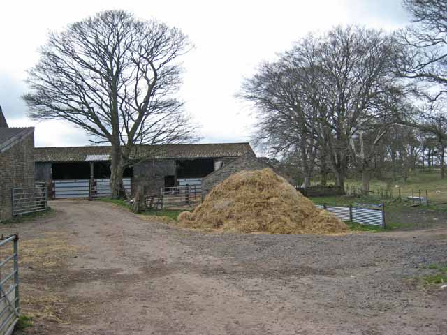
The village itself is a cluster of traditional stone houses and cottages, exuding a sense of timeless beauty. The surrounding countryside provides ample opportunities for outdoor activities, such as hiking, cycling, and horse riding. Hedley on the Hill is also home to several farms, adding to its rural appeal and offering a glimpse into the area's agricultural heritage.

Despite its small size, the village has a strong sense of community. The locals are friendly and welcoming, and the village pub, The Feathers Inn, serves as a popular meeting point for residents and visitors alike. The pub is well-regarded for its delicious food and warm atmosphere, making it a must-visit for those exploring the area.

In conclusion, Hedley on the Hill is a picturesque village in Northumberland, offering a tranquil escape from the hustle and bustle of city life. Its historic charm, stunning landscapes, and friendly community make it a hidden gem worth exploring for anyone seeking a slice of rural England.

If you have any feedback on the listing, please let us know in the comments section below.

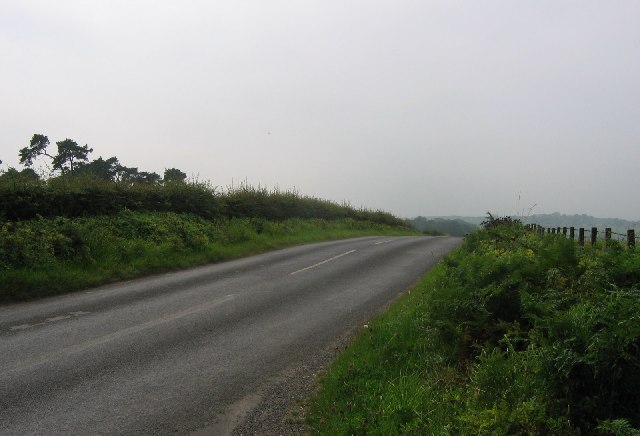
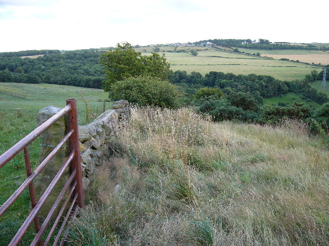
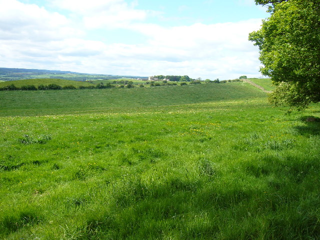
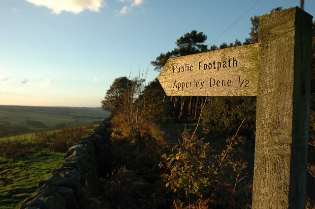
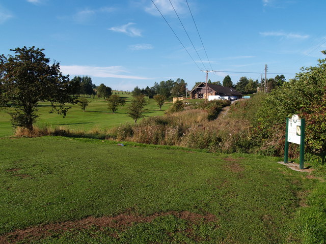
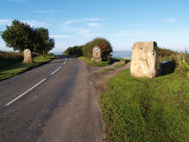
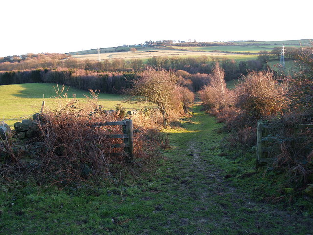
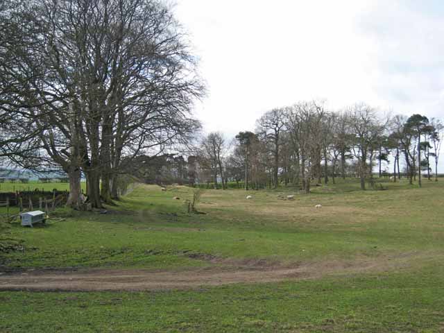
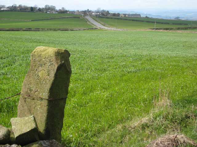
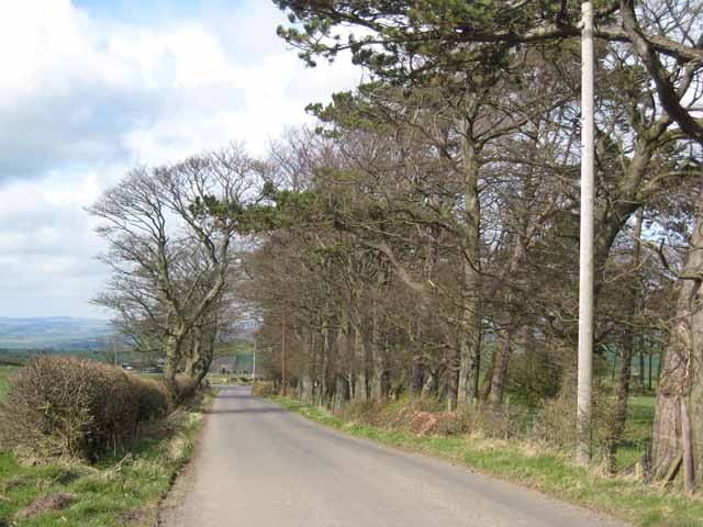
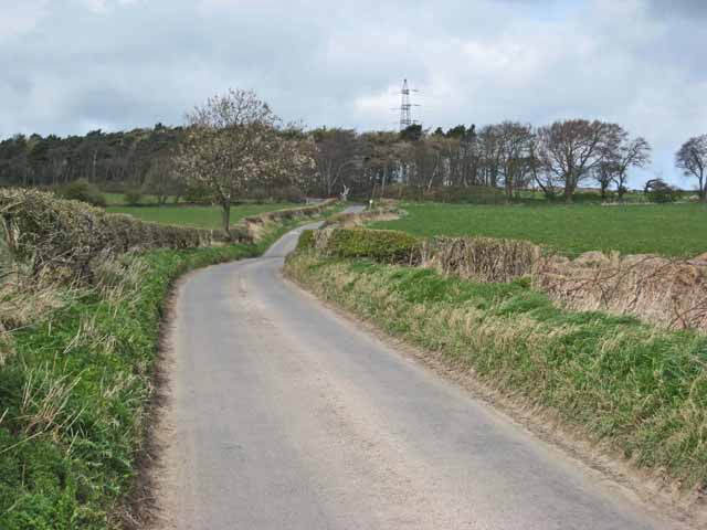
Hedley on the Hill Images

Images are sourced within 2km of 54.927759/-1.87655 or Grid Reference NZ0859. Thanks to Geograph Open Source API. All images are credited.

Road over Labourn's Fell
St. Philip and St. James Church, Whittonstall
Footpath Closed Remember Foot and Mouth in 2001
Footpath Closed
Remember Foot and Mouth in 2001
Whittonstall Village from Apperley Fell Looking south east towards Whittonstall Village from Apperley Fell.
Whittonstall Village from Apperley Fell
Looking south east towards Whittonstall Village from Apperley Fell.
Apperley Fell Farmland Fields adjacent to Apperley Fell from below Hedley Grange Wood.
Apperley Fell Farmland
Fields adjacent to Apperley Fell from below Hedley Grange Wood.
View over Apperley Bank
Stocksfield Golf Club and Course
Hedley on the Hill village limits and Millennium Stone The road climbs up the steep hill from Stocksfield and enters the village from the west. The Millennium Stone has a seat on the other side for those wanting to enjoy the grand view of the Tyne valley.
Hedley on the Hill village limits and Millennium Stone
The road climbs up the steep hill from Stocksfield and enters the village from the west. The Millennium Stone has a seat on the other side for those wanting to enjoy the grand view of the Tyne valley.
Farmland North of Whittonstall and B6309 Farmland North of Whittonstall
Also showing the Roman road of Dere Street (B6309) stretching north towards the Tyne Valley in the far distance.
The hamlet of Apperley Fell is visible to right hand side middle horizon.
Farmland North of Whittonstall and B6309
Farmland North of Whittonstall Also showing the Roman road of Dere Street (B6309) stretching north towards the Tyne Valley in the far distance. The hamlet of Apperley Fell is visible to right hand side middle horizon.
Byway from Apperley Fell to Kipperlyn
Airey Hill Farm
Airey Hill Farm
Pasture and trees, Airey Hill Farm
Hedley on the Hill A village perched perched high on the crest of the ridge between the Derwent valley and Tynedale at an altitudeof about 240 metres.
Hedley on the Hill
A village perched perched high on the crest of the ridge between the Derwent valley and Tynedale at an altitudeof about 240 metres.
Tree-lined lane near Hedley on the Hill North of Airey Hill Farm.
Tree-lined lane near Hedley on the Hill
North of Airey Hill Farm.
Country lane, Labourn's Fell A short way south of Airey Hill Farm
Country lane, Labourn's Fell
A short way south of Airey Hill Farm
Field entrance, Labourn's Fell A very rutted gateway.
Field entrance, Labourn's Fell
A very rutted gateway.
Water tower on Currock Hill At 250 metres, the highest point on the ridge separating the Derwent valley from Tynedale.
Water tower on Currock Hill
At 250 metres, the highest point on the ridge separating the Derwent valley from Tynedale.
Site of loading bay for old Coal drift A wide spot in the road is about all that remains to mark the site of one of Durham's many old coal drifts.
Site of loading bay for old Coal drift
A wide spot in the road is about all that remains to mark the site of one of Durham's many old coal drifts.
Show me another place!

Hedley on the Hill is located at Grid Ref: NZ0859 (Lat: 54.927759, Lng: -1.87655)

Unitary Authority: Northumberland

Police Authority: Northumbria

What 3 Words

///breezy.enacted.baths. Near Stocksfield, Northumberland

Related Wikis

Hedley on the Hill

Hedley on the Hill is a village in Northumberland, west of Newcastle upon Tyne. It is located between the valley of the River Derwent, and the watershed...

Mickley, Northumberland

Mickley is a cluster of small settlements and former civil parish, now in the parish of Prudhoe, in the Tyne Valley, between Prudhoe and Stocksfield in...

Painshawfield Estate

The Painshawfield, Batt House and Birches Nook Estate is a housing estate in the village of Stocksfield in Northumberland, England. It is commonly known...

New Ridley

New Ridley is a hamlet in the county of Northumberland, England. It is in the parish of Stocksfield and the parliamentary constituency of Hexham. It is...

Nearby Amenities

Located within 500m of 54.927759,-1.87655
Hedley on the Hill
Place: village
Wikidata: Q2941359
Lat/Long: 54.9277175/-1.8777512
Barrier: stile
Bicycle: no
Foot: designated
Horse: no
Material: wood
Motor Vehicle: no
Stile: stepover
Lat/Long: 54.9305358/-1.8791586
Barrier: stile
Lat/Long: 54.9277774/-1.8780929
Barrier: stile
Lat/Long: 54.9292291/-1.8784336
Barrier: stile
Lat/Long: 54.9242075/-1.8812012
Barrier: stile
Lat/Long: 54.92826/-1.8785814
Post Box
Ref: NE43 522
Lat/Long: 54.9270834/-1.878868
Bench
Backrest: yes
Lat/Long: 54.9271595/-1.879022
Backrest: yes
Description: Hedley on the Hill Millennium Stone. The Millennium Stone has a seat on the other side for those wanting to enjoy the grand view of the Tyne valley.
Material: stone
Tourism: viewpoint
Lat/Long: 54.926674/-1.8828583
Barrier: stile
Bicycle: no
Foot: destination
Horse: no
Material: wood
Motor Vehicle: no
Stile: ladder
Lat/Long: 54.9277429/-1.8782608
Generator Method: photovoltaic
Generator Output Electricity: yes
Generator Source: solar
Generator Type: solar_photovoltaic_panel
Location: roof
Power: generator
Lat/Long: 54.9268687/-1.8809766
Generator Method: photovoltaic
Generator Output Electricity: yes
Generator Source: solar
Generator Type: solar_photovoltaic_panel
Location: roof
Power: generator
Lat/Long: 54.927573/-1.875462
Generator Method: photovoltaic
Generator Output Electricity: yes
Generator Source: solar
Generator Type: solar_photovoltaic_panel
Location: roof
Power: generator
Lat/Long: 54.928433/-1.8773771
The data included in this document is from www.openstreetmap.org. The data is made available under ODbL.

Have you been to Hedley on the Hill?

Leave your review of Hedley on the Hill below (or comments, questions and feedback).