Coney Bow Hill
Hill, Mountain in Yorkshire Richmondshire
England
Coney Bow Hill

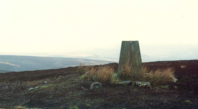
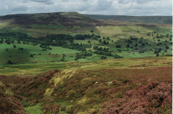
Coney Bow Hill, located in the county of Yorkshire, England, is a prominent hill that forms part of the Yorkshire Wolds. With an elevation of approximately 165 meters (541 feet), it offers breathtaking views of the surrounding landscape. This hill is situated near the village of Garton on the Wolds, in the East Riding of Yorkshire.
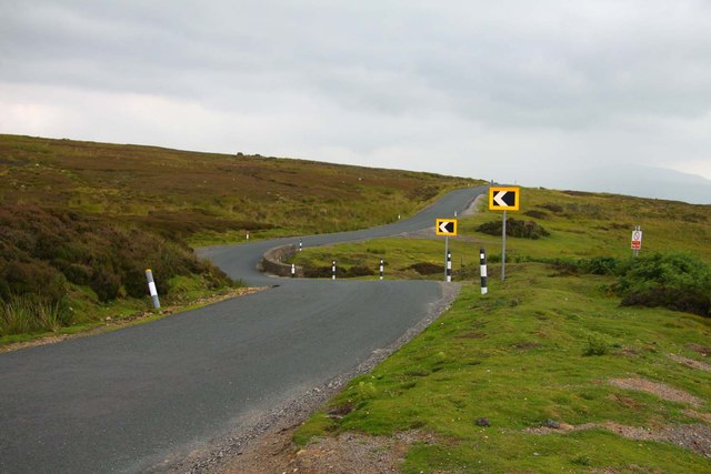
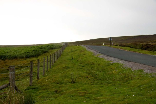
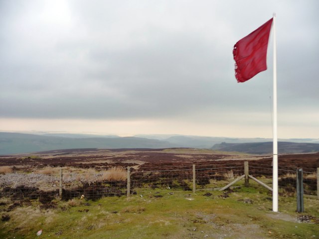
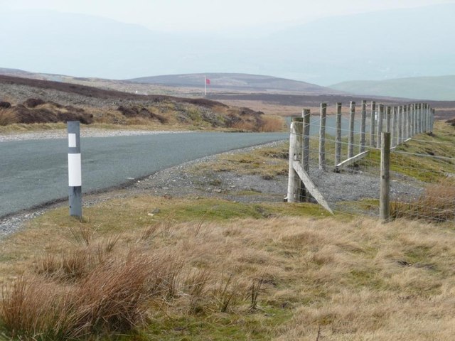
Coney Bow Hill is characterized by its gently sloping sides, covered in lush green grass and occasional patches of heather. It is a popular destination for hikers, nature enthusiasts, and those seeking a tranquil retreat amidst the picturesque countryside. The hill is easily accessible, with several footpaths leading to its summit.
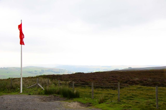
At the top of Coney Bow Hill, visitors are rewarded with panoramic vistas stretching across the rolling hills of the Yorkshire Wolds and the nearby villages. On a clear day, it is possible to see as far as the North York Moors National Park to the north and the Yorkshire coastline to the east.
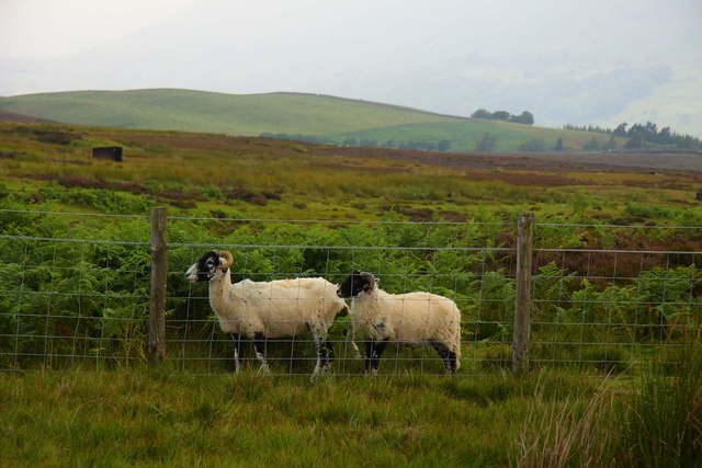
The hill is also known for its rich wildlife, with various bird species, including skylarks and lapwings, frequently spotted in the area. Additionally, the surrounding meadows are home to an array of wildflowers, providing a colorful display during the spring and summer months.
Overall, Coney Bow Hill presents an excellent opportunity to immerse oneself in the natural beauty of Yorkshire, offering stunning views, peaceful surroundings, and a chance to observe the region's diverse flora and fauna.
If you have any feedback on the listing, please let us know in the comments section below.
Coney Bow Hill Images
Images are sourced within 2km of 54.35222/-1.8851144 or Grid Reference SE0795. Thanks to Geograph Open Source API. All images are credited.


![Far Cranehow Bottom With Preston Moor in the distance, and [over the horizon] a fire that was still burning two days later.](https://s3.geograph.org.uk/geophotos/02/86/05/2860535_85d86b9f.jpg)

Coney Bow Hill is located at Grid Ref: SE0795 (Lat: 54.35222, Lng: -1.8851144)
Division: North Riding
Administrative County: North Yorkshire
District: Richmondshire
Police Authority: North Yorkshire
What 3 Words
///park.operation.neck. Near Leyburn, North Yorkshire
Nearby Locations
Related Wikis

Ellerton Abbey
Ellerton Abbey is a civil parish in the Richmondshire district of North Yorkshire, England. It is located on the River Swale in lower Swaledale, 6 miles...
Ellerton Abbey House
Ellerton Abbey House is an historic building and estate in Ellerton Abbey, North Yorkshire, England. It was built around 1830 for the Fore Erle-Drax family...
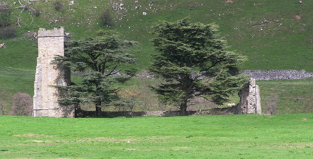
Ellerton Priory (Swaledale)
Ellerton Priory was a priory of Cistercian nuns in Swaledale in North Yorkshire, England. Its ruins lie in the civil parish of Ellerton Abbey. == History... ==

Marrick Priory
Marrick Priory was a Benedictine nunnery in Richmondshire, North Yorkshire, England, established between 1140 and 1160 by Roger de Aske. The parish Church...

Grinton Smelt Mill
Grinton Smelt Mill (also known as How Mill) is a ruined lead mining and processing site on Cogden Moor, south of Grinton in Swaledale, North Yorkshire...

Preston-under-Scar
Preston-under-Scar is a village and civil parish in North Yorkshire, England. It is situated approximately 2 miles (4 km) west of Leyburn. The village...

Marrick
Marrick is a village and civil parish in the Richmondshire district of North Yorkshire, England, situated in lower Swaledale in the Yorkshire Dales National...
Swaledale
Swaledale is a valley in North Yorkshire, England. It is one of the Yorkshire Dales, which are part of the Pennines, and within the Yorkshire Dales National...
Nearby Amenities
Located within 500m of 54.35222,-1.8851144Have you been to Coney Bow Hill?
Leave your review of Coney Bow Hill below (or comments, questions and feedback).