Peat's Hill
Hill, Mountain in Dorset
England
Peat's Hill
Peat's Hill is a prominent hill located in the county of Dorset, England. Situated in the heart of the Dorset Downs, it forms part of the larger landscape known as the South Wessex Downs Area of Outstanding Natural Beauty. With an elevation of approximately 260 meters (853 feet), Peat's Hill offers breathtaking panoramic views of the surrounding countryside.
This naturally formed hill is predominantly composed of chalk, a characteristic feature of the region. Its gentle slopes are covered with lush green grass, making it an ideal spot for picnics, leisurely walks, and outdoor activities. The summit of Peat's Hill provides an excellent vantage point, allowing visitors to admire the rolling hills, valleys, and picturesque villages that dot the landscape.
Peat's Hill is also home to a diverse range of flora and fauna. During the summer months, the hillside bursts to life with vibrant wildflowers, including orchids, buttercups, and cowslips. The area supports a variety of bird species, such as skylarks and kestrels, which can often be spotted soaring above the hill.
Due to its accessibility and natural beauty, Peat's Hill attracts both locals and tourists alike. The hill is easily reached by car or on foot, with several designated footpaths leading to its summit. Its tranquil and unspoiled environment offers a peaceful retreat from the hustle and bustle of everyday life, making it a popular destination for nature enthusiasts, hikers, and photographers.
In conclusion, Peat's Hill in Dorset is a stunning natural landmark that showcases the beauty and charm of the Dorset Downs. Its idyllic setting, panoramic views, and diverse wildlife make it a must-visit destination for those seeking a peaceful and immersive experience in the heart of the English countryside.
If you have any feedback on the listing, please let us know in the comments section below.
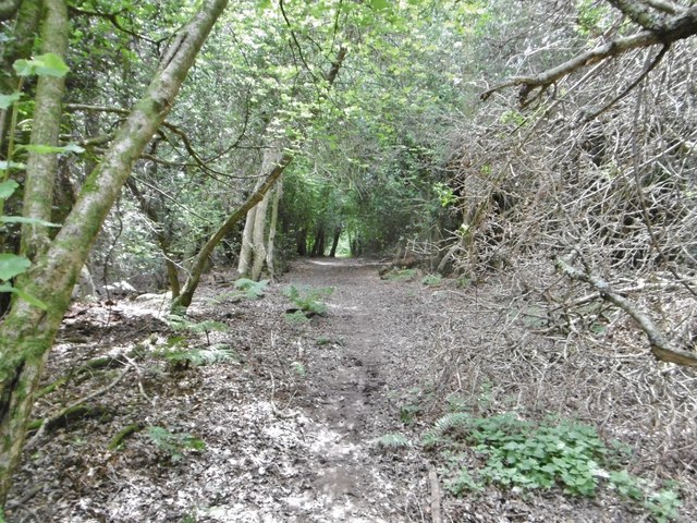
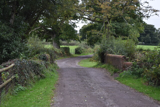
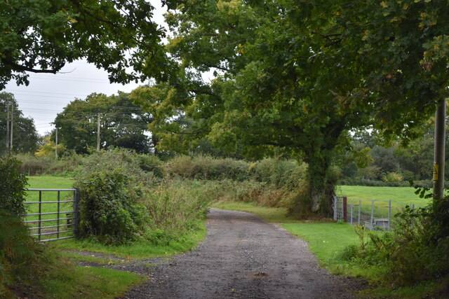
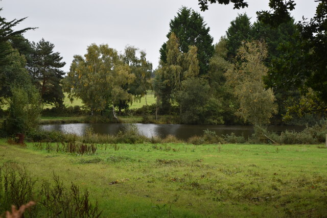
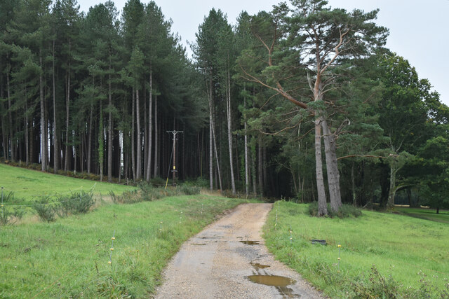
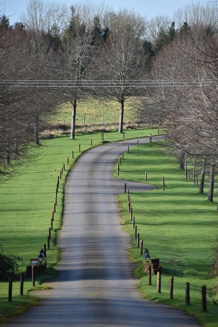
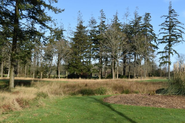
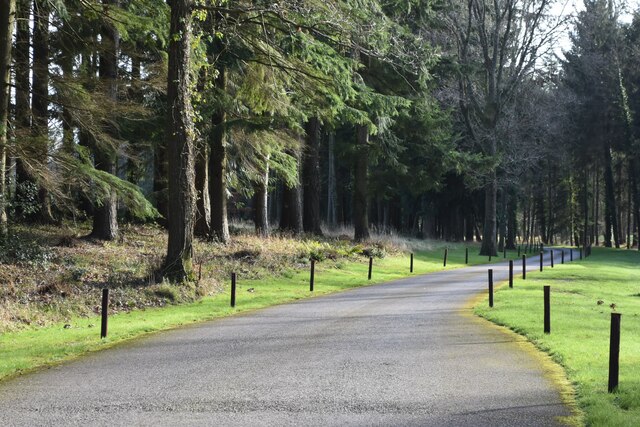
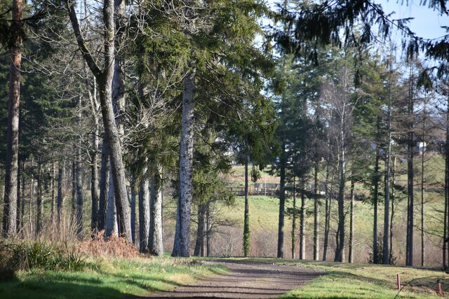
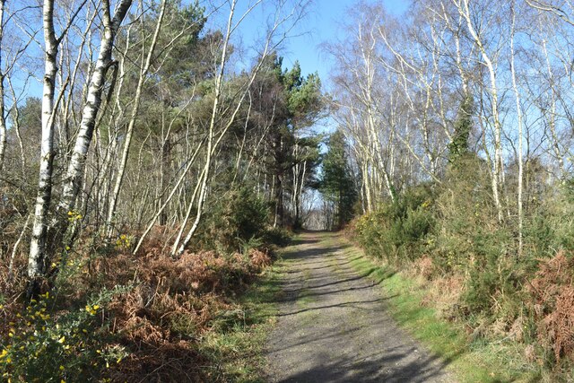
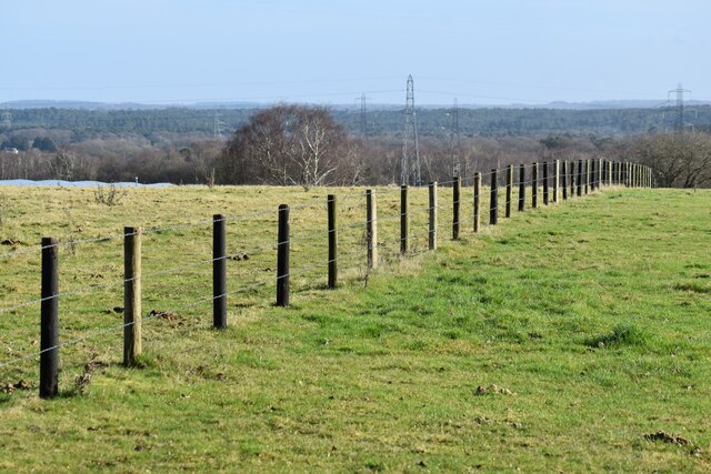
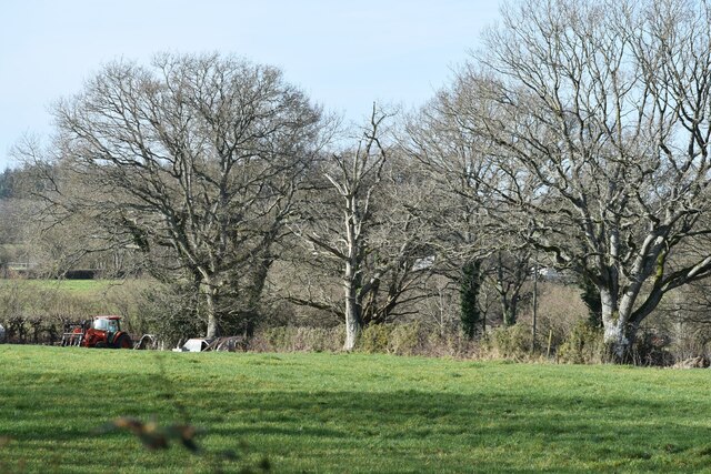
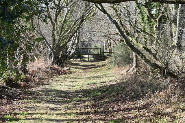
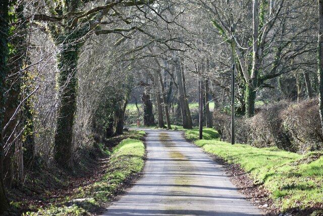
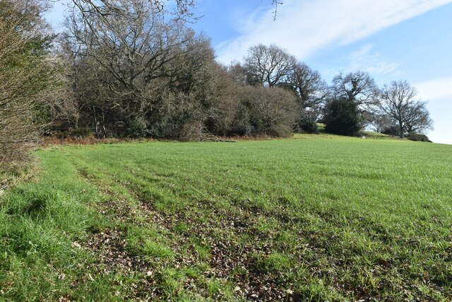
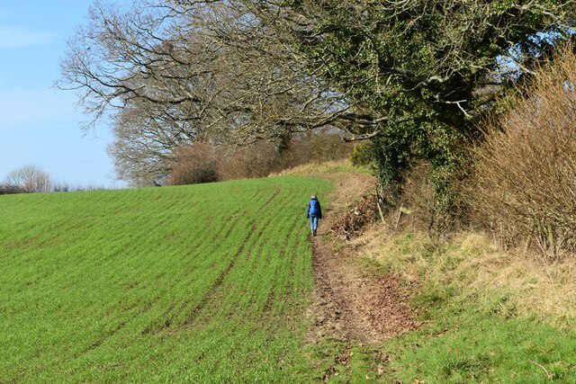
Peat's Hill Images
Images are sourced within 2km of 50.863045/-1.917238 or Grid Reference SU0507. Thanks to Geograph Open Source API. All images are credited.


Peat's Hill is located at Grid Ref: SU0507 (Lat: 50.863045, Lng: -1.917238)
Unitary Authority: Dorset
Police Authority: Dorset
What 3 Words
///memo.underway.obviously. Near Three Legged Cross, Dorset
Nearby Locations
Related Wikis
Horton Heath, Dorset
Horton Heath is a small village in Dorset, England situated one mile from Three Legged Cross and two miles from Horton. It consists of a main road, with...

Mannington, Dorset
Mannington and its southerly neighbour Lower Mannington are hamlets in the English county of Dorset. They are located within Holt parish 2.5 miles (4 km...

Woodlands, Dorset
Woodlands is a village and civil parish in the East Dorset district of Dorset, South-West England. It is five miles (8 km) north of Wimborne Minster. The...

Three Legged Cross
Three Legged Cross is an extended village within Verwood civil parish in east Dorset, England. It lies to the south of the town of Verwood and to the north...
Have you been to Peat's Hill?
Leave your review of Peat's Hill below (or comments, questions and feedback).