White Sheet Hill
Hill, Mountain in Dorset
England
White Sheet Hill
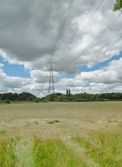
White Sheet Hill is a prominent hill located in the county of Dorset, England. Situated within the Cranborne Chase Area of Outstanding Natural Beauty, it forms part of the chalk downs that stretch across southern England. With an elevation of 221 meters (725 feet), it is not classified as a mountain but rather a hill.
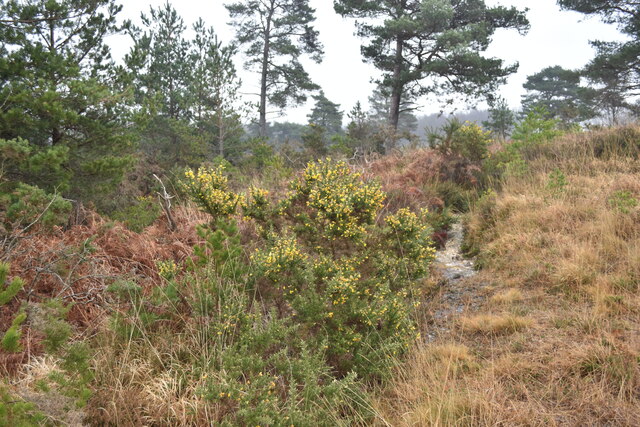
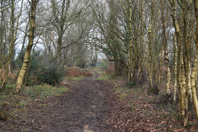
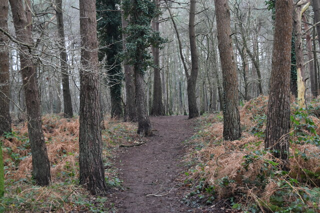
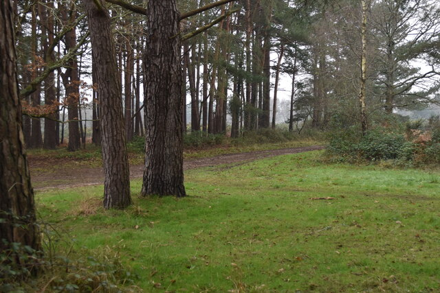
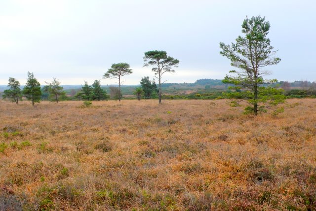
The hill is characterized by its gently rolling landscape, covered in lush green grass and sporadic patches of woodland. Its distinctive feature is the presence of a large white chalk escarpment that runs along its western flank, giving it its name. This striking chalk escarpment provides a stunning contrast against the surrounding countryside and can be seen from miles around.
White Sheet Hill offers breathtaking panoramic views of the surrounding area. On clear days, visitors can enjoy vistas of the rolling Dorset countryside, with its patchwork of fields and hedgerows, as well as glimpses of distant landmarks such as the Isle of Wight and the Purbeck Hills.
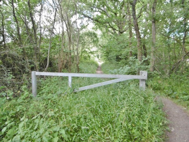
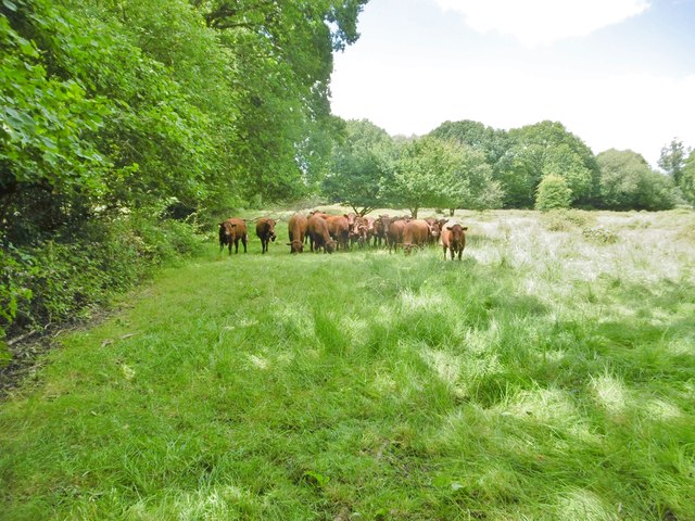
The hill is a popular destination for walkers, hikers, and nature enthusiasts. Numerous footpaths traverse its slopes, allowing visitors to explore its diverse flora and fauna, including wildflowers, butterflies, and various bird species. The area is also home to archaeological sites, with evidence of human habitation dating back thousands of years.
Overall, White Sheet Hill is a picturesque and historically significant location, offering a peaceful retreat and a chance to connect with nature in the heart of the Dorset countryside.
If you have any feedback on the listing, please let us know in the comments section below.
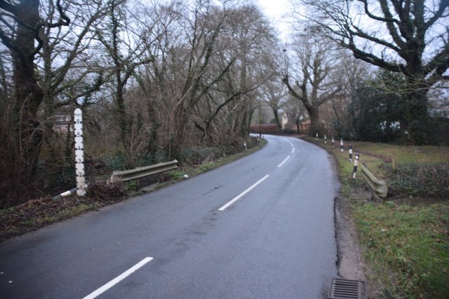
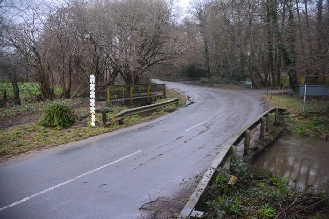
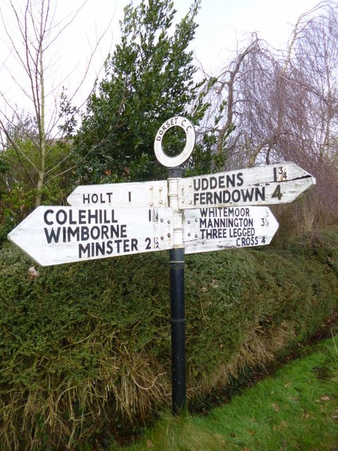
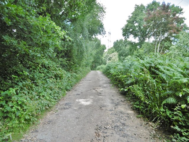
White Sheet Hill Images
Images are sourced within 2km of 50.832929/-1.9292332 or Grid Reference SU0503. Thanks to Geograph Open Source API. All images are credited.


White Sheet Hill is located at Grid Ref: SU0503 (Lat: 50.832929, Lng: -1.9292332)
Unitary Authority: Dorset
Police Authority: Dorset
What 3 Words
///evolving.logo.procures. Near Ferndown, Dorset
Nearby Locations
Related Wikis
Holt Heath, Dorset
Holt Heath is a 4.88 square kilometres (1.88 sq mi) common situated four miles north-east of Wimborne Minster in east Dorset, southern England, close to...

Holt, Dorset
Holt is a village in east Dorset, England, 2 miles (3.2 km) north of Wimborne Minster. The village had a population of 1,265 in 2001. The electoral ward...

Mannington, Dorset
Mannington and its southerly neighbour Lower Mannington are hamlets in the English county of Dorset. They are located within Holt parish 2.5 miles (4 km...
Horton Heath, Dorset
Horton Heath is a small village in Dorset, England situated one mile from Three Legged Cross and two miles from Horton. It consists of a main road, with...

West Moors railway station
West Moors is a closed railway station in Dorset. Opened in 1867, it became the junction of the Southampton and Dorchester Railway and the Salisbury and...

West Moors
West Moors is a village in Dorset, England, on the northern fringe of the Poole-Bournemouth conurbation, just outside the larger settlements of Ferndown...
Ferndown
Ferndown is a town and civil parish in Dorset in southern England, immediately to the north of Bournemouth and Poole. The parish, which until 1972 was...
Ameysford
Ameysford is a village in Dorset, England. There is an electoral ward of the same name which is a suburb of Ferndown.
Nearby Amenities
Located within 500m of 50.832929,-1.9292332Have you been to White Sheet Hill?
Leave your review of White Sheet Hill below (or comments, questions and feedback).