Ann Simpson's Hill
Hill, Mountain in Yorkshire Craven
England
Ann Simpson's Hill

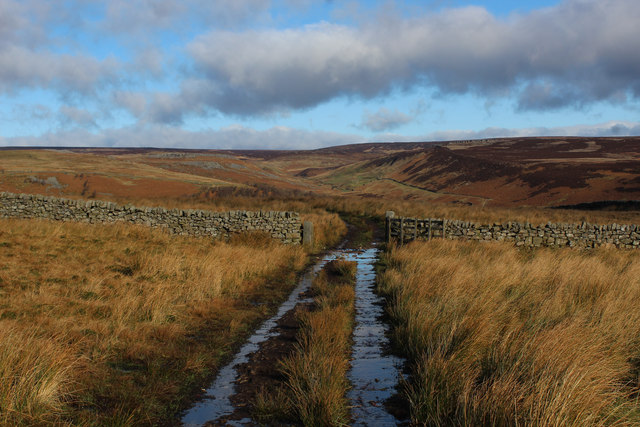
Ann Simpson's Hill is a prominent geographical feature located in Yorkshire, England. Situated in the picturesque countryside, it is a hill that is renowned for its natural beauty and historical significance. Rising to an elevation of approximately 500 meters, it offers breathtaking panoramic views of the surrounding landscape.
The hill is named after Ann Simpson, a local resident who played a significant role in preserving the area's natural heritage. It has become a popular destination for hikers, nature enthusiasts, and tourists seeking to explore the Yorkshire countryside. The hill's diverse flora and fauna make it an ideal habitat for a variety of wildlife, including birds, mammals, and rare plant species.
Apart from its natural appeal, Ann Simpson's Hill also holds historical importance. It is believed to have been inhabited by humans for centuries, with archaeological evidence suggesting the presence of ancient settlements and burial sites. The hill's strategic location also made it an ideal vantage point during various historical events, such as battles and conflicts.
Visitors to Ann Simpson's Hill can enjoy a range of activities, including hiking, birdwatching, and photography. Several well-marked trails and footpaths lead to the summit, allowing visitors to explore the hill at their own pace. The hill's serene atmosphere and untouched natural beauty make it a perfect escape from the hustle and bustle of city life.
Overall, Ann Simpson's Hill is a cherished natural landmark in Yorkshire, offering a blend of beauty, history, and tranquility to those who venture to its summit.
If you have any feedback on the listing, please let us know in the comments section below.
Ann Simpson's Hill Images
Images are sourced within 2km of 54.074722/-1.924973 or Grid Reference SE0564. Thanks to Geograph Open Source API. All images are credited.


Ann Simpson's Hill is located at Grid Ref: SE0564 (Lat: 54.074722, Lng: -1.924973)
Division: West Riding
Administrative County: North Yorkshire
District: Craven
Police Authority: North Yorkshire
What 3 Words
///tactical.deeply.intrigues. Near Grassington, North Yorkshire
Nearby Locations
Related Wikis
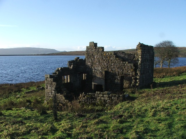
Grimwith Reservoir
Grimwith Reservoir is located in the Yorkshire Dales in North Yorkshire, England. It was originally built by the Bradford Corporation as one of eleven...
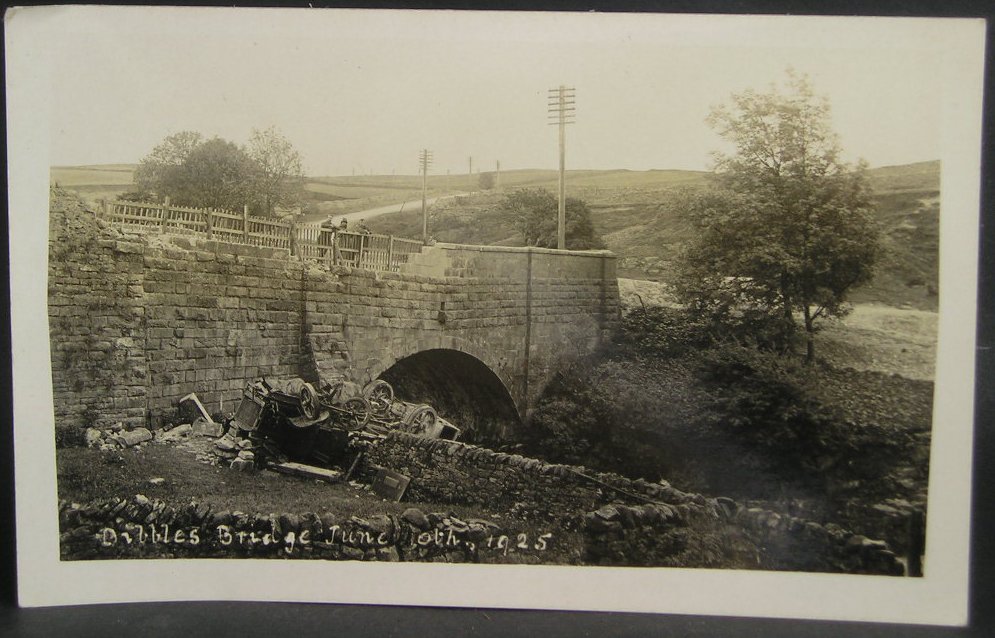
1925 Dibbles Bridge coach crash
On 10 June 1925, a coach crashed at the bottom of a steep hill at Dibbles Bridge, near Hebden in North Yorkshire, England. Seven people were killed and...

1975 Dibbles Bridge coach crash
On 27 May 1975, a coach carrying elderly passengers crashed at the bottom of a steep hill at Dibble's Bridge, near Hebden in North Yorkshire, England....
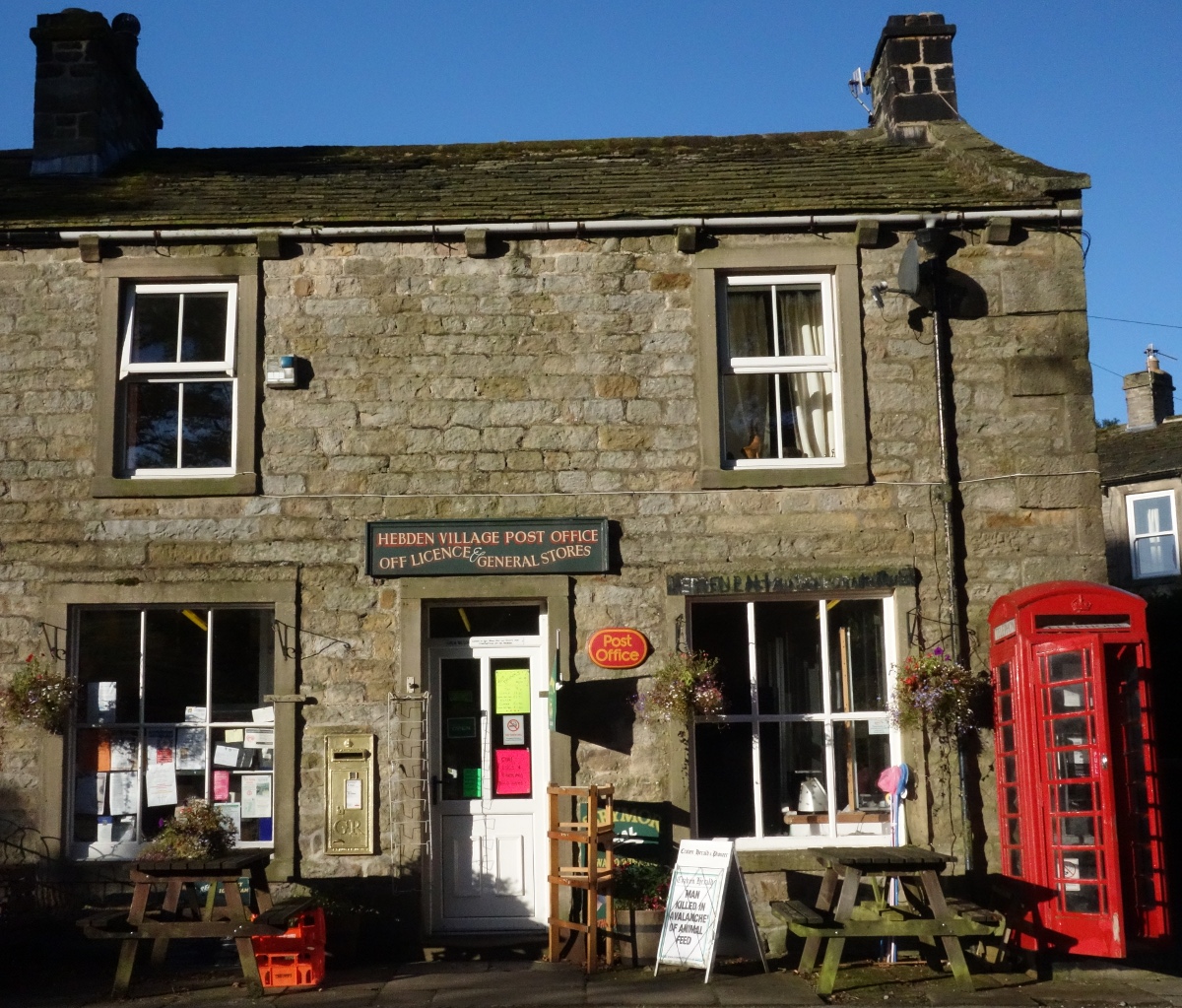
Hebden, North Yorkshire
Hebden ( HEB-dərn) is a village and civil parish in the Craven District of North Yorkshire, England, and one of four villages in the ecclesiastical parish...

Trollers Gill
Trollers Gill is a limestone gill or gorge in North Yorkshire, England, close to the village of Skyreholme and 4.7 miles (7.5 km) south-east of Grassington...

Hartlington
Hartlington is a small village and civil parish in the Craven district of North Yorkshire, England. At the 2011 Census, the population of the parish was...

Burnsall
Burnsall is a village and civil parish in the Craven district of North Yorkshire, England. It is situated on the River Wharfe in Wharfedale, and is in...

Parcevall Hall
Parcevall Hall -- also known as Parceval Hall -- and its gardens are located at Skyreholme near Appletreewick village, Wharfedale, North Yorkshire, England...
Related Videos

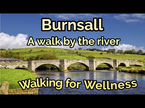
#rivers #yorkshiredales #countryside #ramble Walking along the river at Burnsall, Yorkshire Dales
A snapshot of a walk by the River Wharfe in the Yorkshire Dales. Thanks for watching and please subscribe and share See you ...
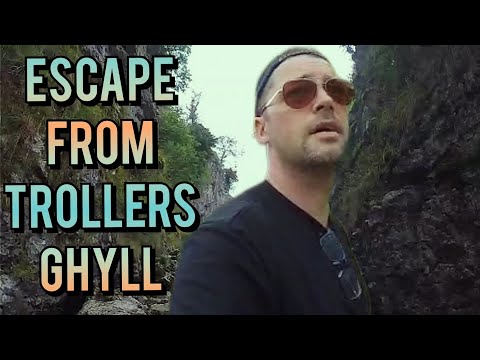
What would you do? (Easiest way out) #Lost #wildcamping #adventurizing #travel #inspiration
The Final To A 3 Video Epic The Escape From Trollers Ghyll... Hey Welcome to the channel I create travel Videos/Vlogs of my ...

Nearby Amenities
Located within 500m of 54.074722,-1.924973Have you been to Ann Simpson's Hill?
Leave your review of Ann Simpson's Hill below (or comments, questions and feedback).