Featherbed Moss
Hill, Mountain in Yorkshire
England
Featherbed Moss

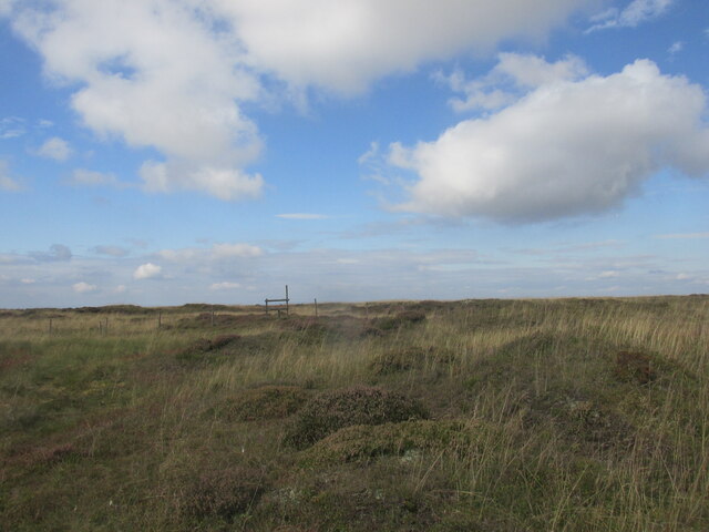
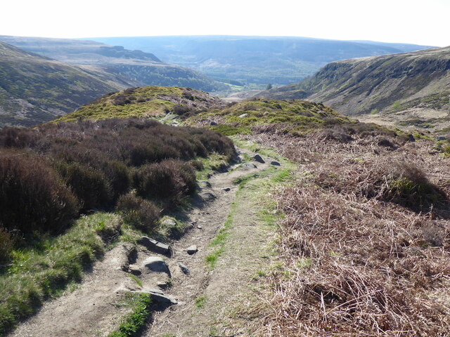
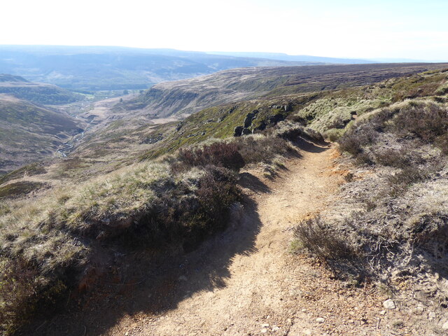
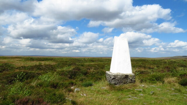
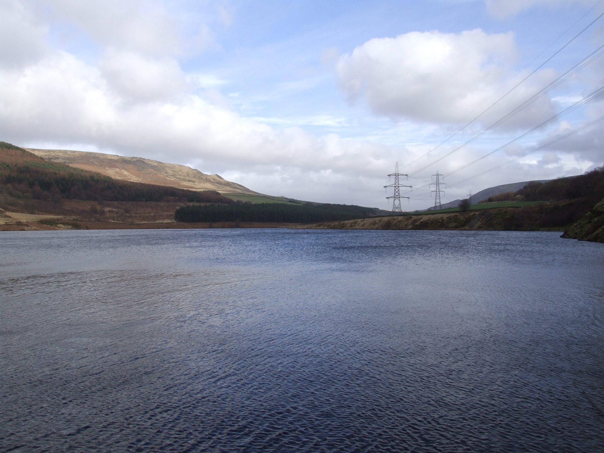
Featherbed Moss is a prominent hill located in Yorkshire, England. Situated within the Pennines, it is part of the stunning landscape that characterizes the region. Rising to an elevation of approximately 500 meters, Featherbed Moss offers breathtaking panoramic views of the surrounding countryside.
The hill is covered in a thick layer of vibrant green moss, lending it its name. This moss creates a soft and cushiony surface, making it a popular spot for hikers and nature enthusiasts. It is a haven for various wildlife, including birds, insects, and small mammals.
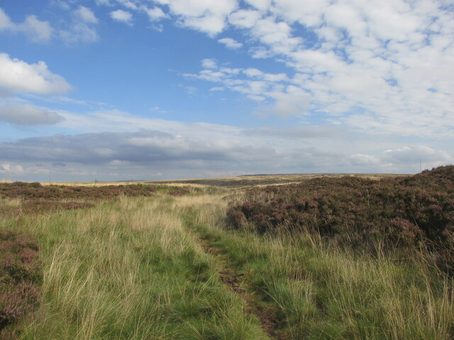
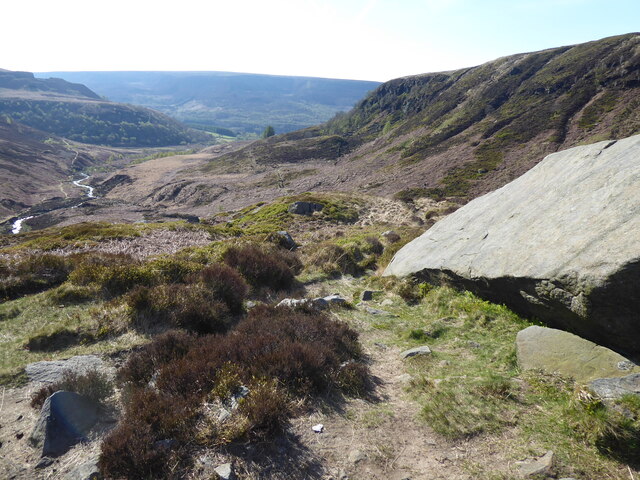
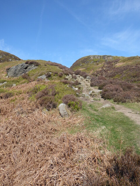
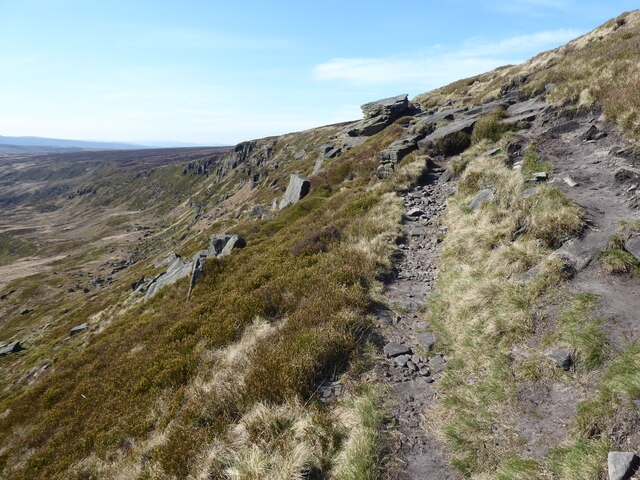
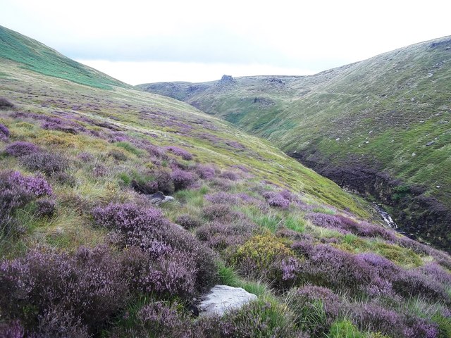
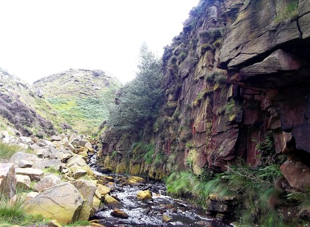
Featherbed Moss is characterized by its rugged and rocky terrain, typical of the Pennines. The hillside is dotted with heather and bracken, adding to its natural beauty. The hill offers a challenging yet rewarding climb, attracting both experienced and novice hikers.
The summit of Featherbed Moss provides a magnificent vantage point, allowing visitors to appreciate the vastness of the Yorkshire Dales National Park. On a clear day, one can see rolling hills, valleys, and picturesque villages in the distance.
Access to Featherbed Moss is relatively straightforward, with several footpaths leading to the summit. The hill is a popular destination for outdoor enthusiasts seeking tranquility and stunning views. It is a place where visitors can immerse themselves in the beauty of nature and escape the hustle and bustle of everyday life.
In conclusion, Featherbed Moss is a captivating hill in Yorkshire, offering breathtaking views, diverse wildlife, and a sense of serenity. It is a must-visit destination for those seeking a unique and memorable outdoor experience in the heart of England.
If you have any feedback on the listing, please let us know in the comments section below.
Featherbed Moss Images
Images are sourced within 2km of 53.50719/-1.9314636 or Grid Reference SE0401. Thanks to Geograph Open Source API. All images are credited.


Featherbed Moss is located at Grid Ref: SE0401 (Lat: 53.50719, Lng: -1.9314636)
Division: West Riding
Unitary Authority: Oldham
Police Authority: Greater Manchester
What 3 Words
///spark.huts.perfumes. Near Hollingworth, Manchester
Nearby Locations
Related Wikis

Featherbed Moss
Featherbed Moss is a flat-topped hill, 541 metres (1,775 ft) high, in the Peak District in the county of Derbyshire in England. It is sometimes mistakenly...

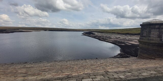
Chew Reservoir
Chew Reservoir is a reservoir at the head of the Chew Valley in the Peak District National Park in Greater Manchester, England. The reservoir scheme in...

Black Chew Head
Black Chew Head in Saddleworth in the Metropolitan Borough of Oldham is the highest point or county top of Greater Manchester in northern England. It stands...

Chew Valley, Greater Manchester
Chew Valley in Saddleworth, Greater Manchester, England, follows the course of Chew Brook on the western slopes of Black Chew Head to where it joins the...
Rhodeswood Reservoir
Rhodeswood Reservoir is a man-made lake in Longdendale in north Derbyshire, England. It was constructed by John Frederick Bateman between 1849 and June...

Crowden, Derbyshire
Crowden (also known as Crowden-in-Longdendale) is a hamlet in the High Peak borough of Derbyshire, England. Historically a part of Cheshire, Crowden was...

Longdendale Trail
The Longdendale Trail is an English long-distance rail trail following the former Woodhead railway line, which ran between Manchester and Sheffield and...

Torside Reservoir
Torside Reservoir is the largest man-made lake in Longdendale in north Derbyshire, England. It was constructed by John Frederick Bateman between April...
Nearby Amenities
Located within 500m of 53.50719,-1.9314636Have you been to Featherbed Moss?
Leave your review of Featherbed Moss below (or comments, questions and feedback).