Dry Clough
Valley in Yorkshire
England
Dry Clough
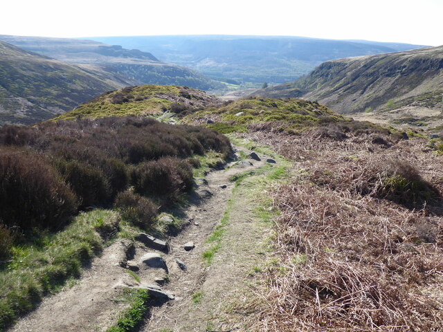
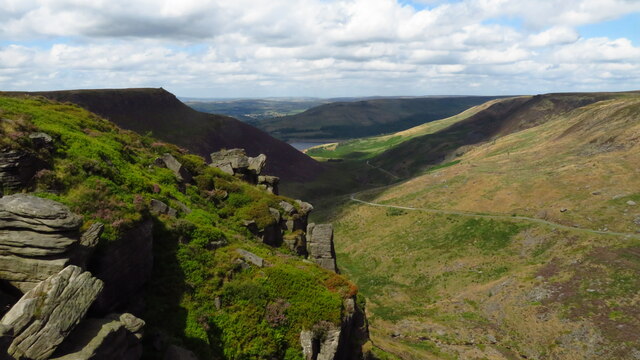
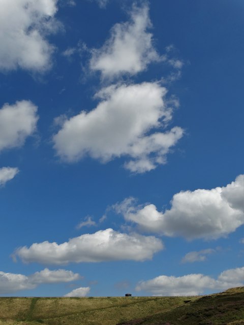
Dry Clough is a picturesque valley located in the county of Yorkshire, England. Nestled between rolling hills and lush greenery, it offers a serene and tranquil escape for nature lovers and outdoor enthusiasts. The valley is situated in the southern part of Yorkshire, near the town of Hebden Bridge.
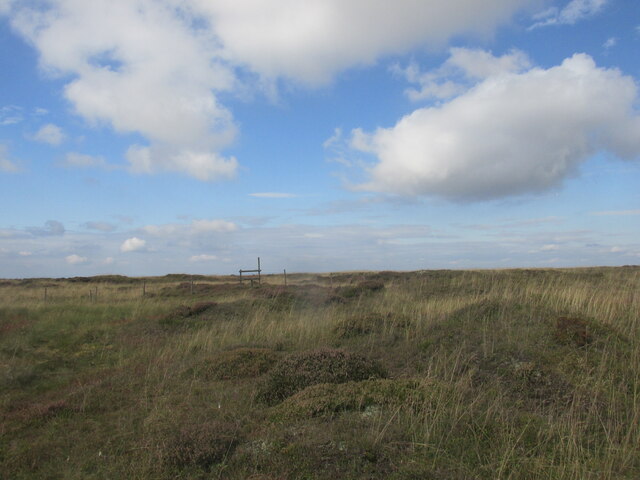
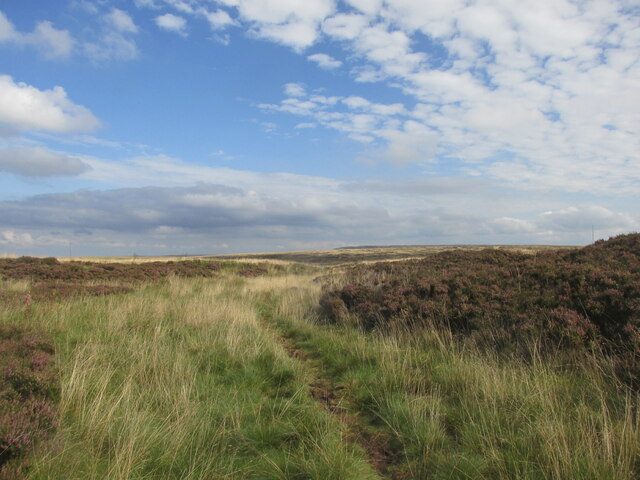
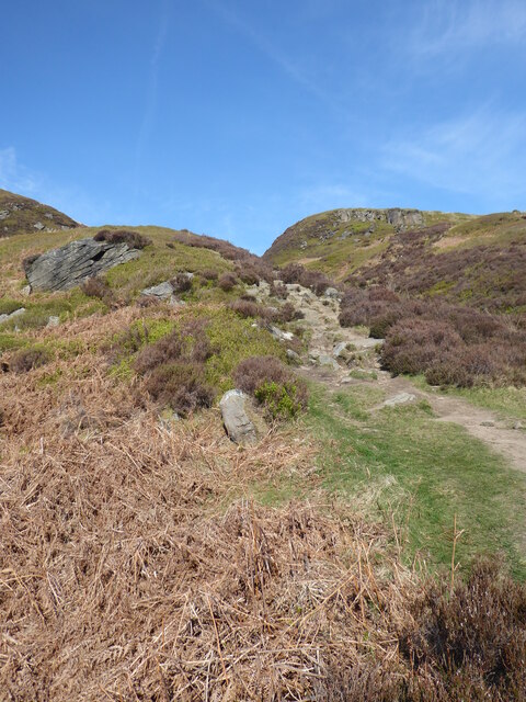
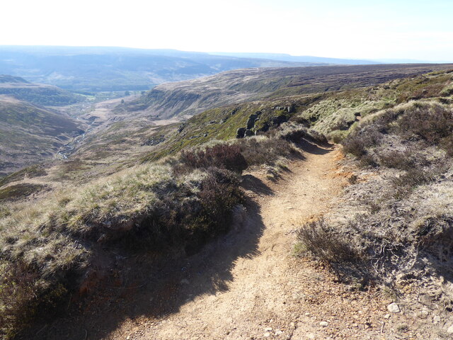
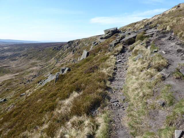
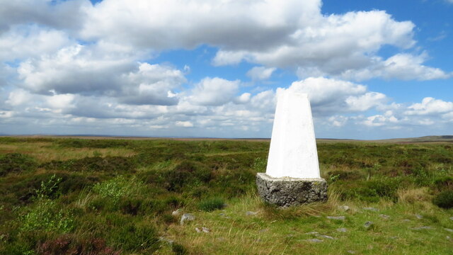
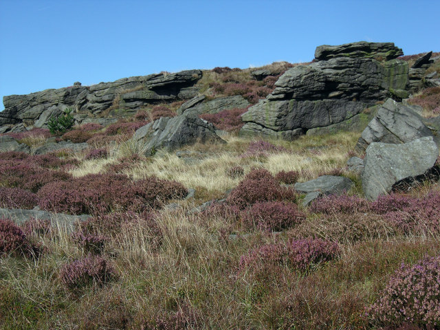
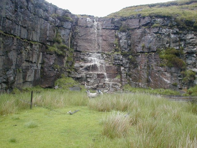
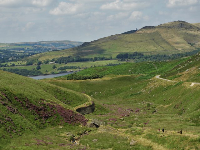
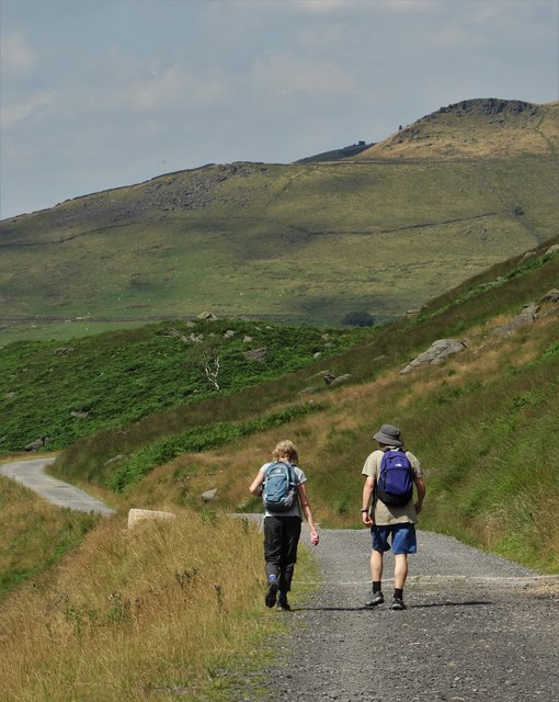
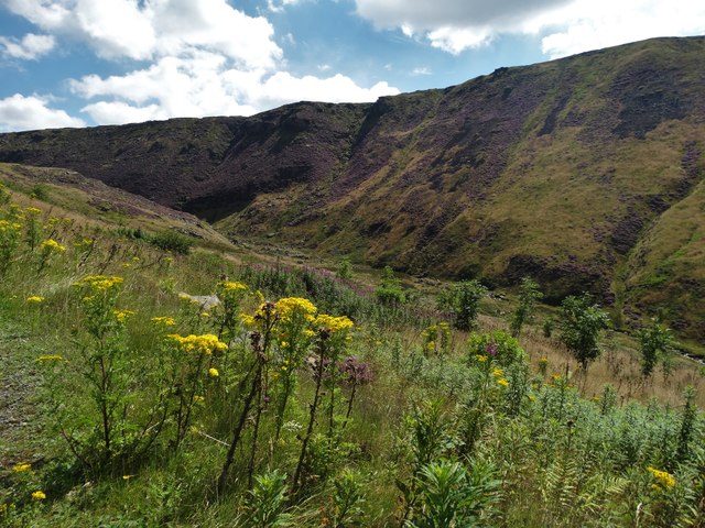
Characterized by its dry climate and rocky terrain, Dry Clough is a haven for hikers and walkers, who are drawn to its rugged beauty and breathtaking views. The valley boasts an extensive network of well-maintained trails, allowing visitors to explore its diverse landscapes at their own pace. From gentle slopes to challenging inclines, there is a route to suit every level of fitness and experience.
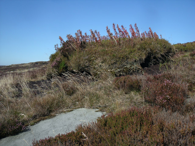
The valley is also home to a variety of wildlife, including rare bird species, such as peregrine falcons and buzzards, which can often be spotted soaring through the skies above. The abundant flora and fauna further enhance the natural beauty of Dry Clough, providing a rich and vibrant ecosystem for all to enjoy.
In addition to its natural attractions, Dry Clough is steeped in history and heritage. The remnants of ancient settlements and stone circles can be found scattered throughout the valley, offering a glimpse into the area's past. The nearby town of Hebden Bridge provides a range of amenities and services for visitors, including charming cafes, shops, and accommodations.
Overall, Dry Clough is a captivating destination that seamlessly combines natural beauty with cultural significance. Whether it's exploring the trails, observing wildlife, or immersing oneself in the valley's history, visitors are sure to find something to engage their senses and create lasting memories.
If you have any feedback on the listing, please let us know in the comments section below.
Dry Clough Images
Images are sourced within 2km of 53.509666/-1.9389537 or Grid Reference SE0401. Thanks to Geograph Open Source API. All images are credited.

Dry Clough is located at Grid Ref: SE0401 (Lat: 53.509666, Lng: -1.9389537)
Division: West Riding
Unitary Authority: Oldham
Police Authority: Greater Manchester
What 3 Words
///heeding.niece.brink. Near Hollingworth, Manchester
Nearby Locations
Related Wikis

Chew Reservoir
Chew Reservoir is a reservoir at the head of the Chew Valley in the Peak District National Park in Greater Manchester, England. The reservoir scheme in...

Featherbed Moss
Featherbed Moss is a flat-topped hill, 541 metres (1,775 ft) high, in the Peak District in the county of Derbyshire in England. It is sometimes mistakenly...

Chew Valley, Greater Manchester
Chew Valley in Saddleworth, Greater Manchester, England, follows the course of Chew Brook on the western slopes of Black Chew Head to where it joins the...

Black Chew Head
Black Chew Head in Saddleworth in the Metropolitan Borough of Oldham is the highest point or county top of Greater Manchester in northern England. It stands...
Have you been to Dry Clough?
Leave your review of Dry Clough below (or comments, questions and feedback).