Lumb Hill
Hill, Mountain in Yorkshire
England
Lumb Hill

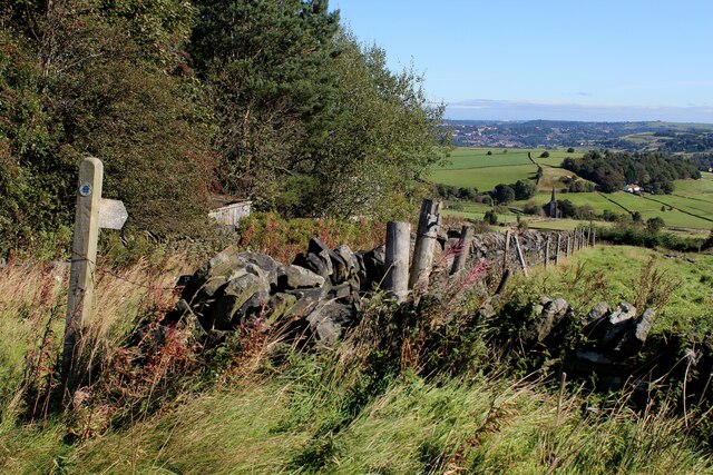
Lumb Hill is a prominent hill located in the county of Yorkshire, England. It is situated in the southern part of the county, near the village of Marsden. Standing at a height of approximately 1,310 feet (399 meters) above sea level, Lumb Hill offers stunning panoramic views of the surrounding countryside.
The hill is characterized by its gently sloping sides, covered in lush green vegetation, including grasses, heather, and scattered trees. Its summit is relatively flat and provides an ideal spot for picnics or simply enjoying the serene natural beauty of the area.
Lumb Hill is a popular destination for outdoor enthusiasts, hikers, and nature lovers. Several walking trails traverse the hill, offering visitors the opportunity to explore the rolling landscapes and enjoy the fresh air. The hill is also home to a variety of wildlife, including birds, rabbits, and occasional sightings of deer.
In addition to its natural beauty, Lumb Hill holds historical significance. It is believed to have been an important landmark during the industrial revolution, with remnants of old mine workings and quarrying activities visible in certain areas.
Access to Lumb Hill is relatively easy, with a well-maintained road leading to a car park at the base of the hill. From there, visitors can embark on their ascent to the summit, taking in the picturesque scenery along the way.
Overall, Lumb Hill is a picturesque and historically significant hill in Yorkshire, offering visitors a chance to immerse themselves in nature while enjoying breathtaking views of the countryside.
If you have any feedback on the listing, please let us know in the comments section below.
Lumb Hill Images
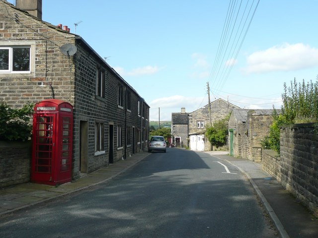
Images are sourced within 2km of 53.693005/-1.9518803 or Grid Reference SE0321. Thanks to Geograph Open Source API. All images are credited.


Lumb Hill is located at Grid Ref: SE0321 (Lat: 53.693005, Lng: -1.9518803)
Division: West Riding
Unitary Authority: Calderdale
Police Authority: West Yorkshire
What 3 Words
///splits.slippers.peach. Near Ripponden, West Yorkshire
Nearby Locations
Related Wikis
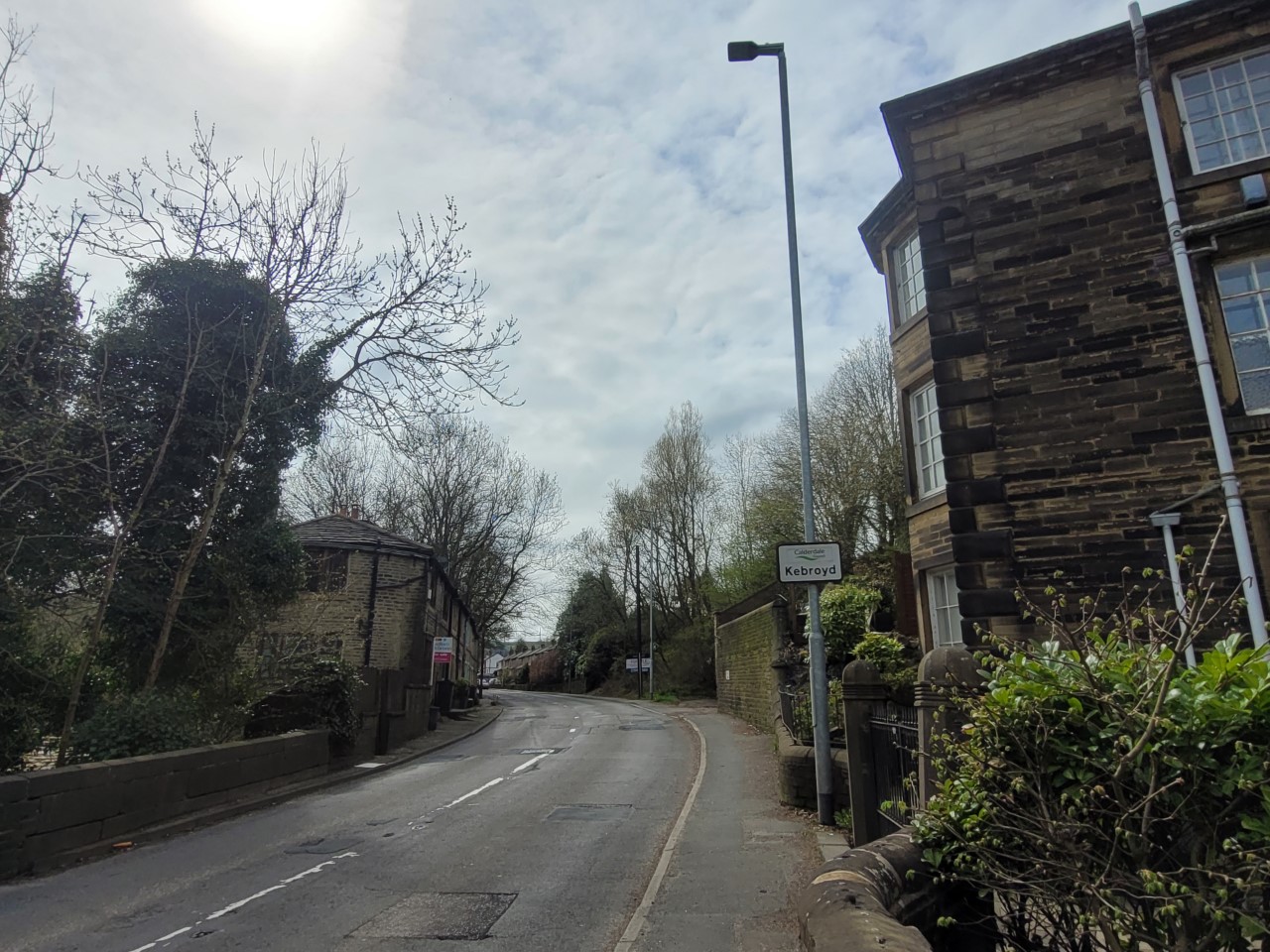
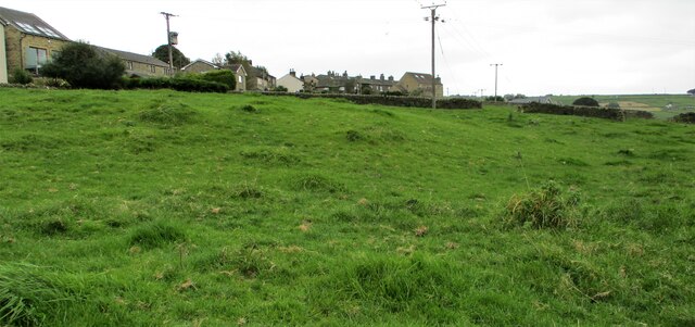
Kebroyd
Kebroyd is a small hamlet in the civil parish of Ripponden, in the Calderdale district, in West Yorkshire, England, within the valley of the River Ryburn...

Triangle railway station
Triangle railway station was a railway station near Triangle on the Rishworth branch built by the Lancashire & Yorkshire Railway. When open, services ran...
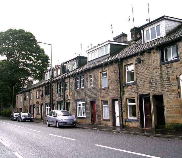
Triangle, West Yorkshire
Triangle is a village in the Calderdale borough of West Yorkshire, England. It is located in the valley of the River Ryburn, on the A58 road over the South...
Soyland
Soyland is a village in the civil parish of Ripponden, in Calderdale, West Yorkshire, England. It is just north of Ripponden off the A58 road and is 5...
Nearby Amenities
Located within 500m of 53.693005,-1.9518803Have you been to Lumb Hill?
Leave your review of Lumb Hill below (or comments, questions and feedback).