Charles Wood
Wood, Forest in Yorkshire
England
Charles Wood
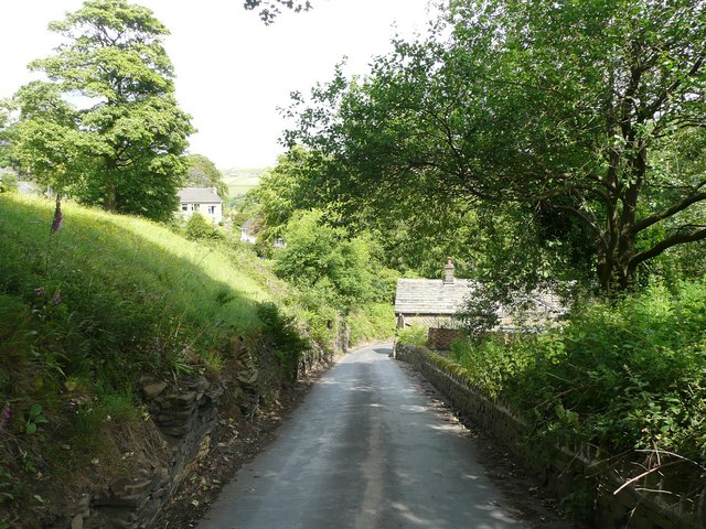
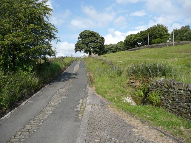
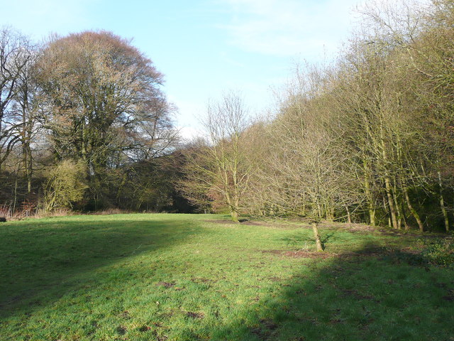
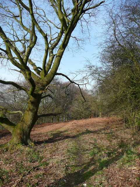
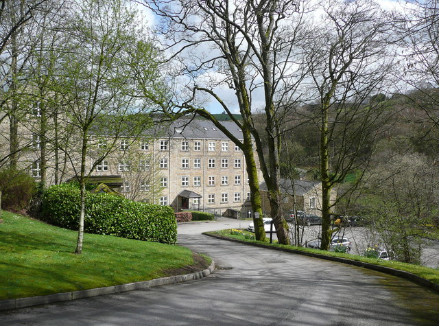
Charles Wood is a picturesque woodland located in the county of Yorkshire, England. Covering an area of approximately 100 acres, it is situated on the outskirts of the village of Charles, providing a tranquil escape for nature enthusiasts and outdoor lovers. The woodland is characterized by its dense canopy of trees, predominantly consisting of oak, beech, and birch, creating a rich and diverse ecosystem.
The forest is home to a wide range of wildlife, including various bird species, mammals, and insects. Visitors often have the opportunity to spot deer, foxes, squirrels, and a plethora of birdlife such as woodpeckers, owls, and songbirds. The woodland floor is adorned with an array of wildflowers and mosses, creating a vibrant and colorful landscape during the spring and summer months.
Charles Wood offers a network of walking trails and pathways, allowing visitors to explore the natural beauty of the area at their own pace. There are picnic areas and benches dotted throughout the woodland, providing ideal spots for visitors to relax and enjoy the peaceful surroundings. The forest is also a popular destination for photographers, artists, and nature enthusiasts seeking inspiration from its stunning and serene atmosphere.
The woodland is managed by the local council, who ensure its preservation and conservation. They regularly organize educational events and guided walks to raise awareness about the importance of forests, wildlife, and the environment. Charles Wood, Yorkshire, is a cherished natural gem that offers a delightful escape from the hustle and bustle of everyday life, providing visitors with a unique opportunity to reconnect with nature in a truly enchanting setting.
If you have any feedback on the listing, please let us know in the comments section below.
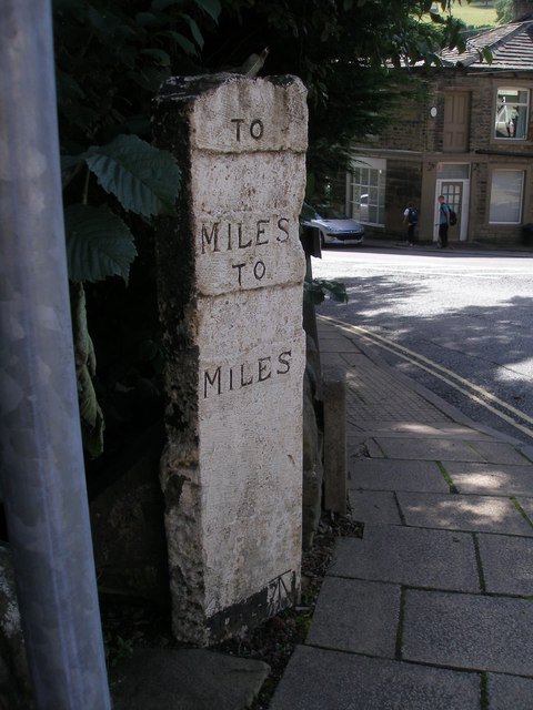
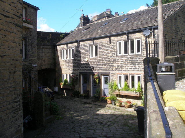
Charles Wood Images
Images are sourced within 2km of 53.688943/-1.9540957 or Grid Reference SE0321. Thanks to Geograph Open Source API. All images are credited.


![The Parish Church of St Bartholomew Built 1868 in EE style with spire [Pevsner, 1967]](https://s3.geograph.org.uk/geophotos/02/77/40/2774039_354d1e56.jpg)


Charles Wood is located at Grid Ref: SE0321 (Lat: 53.688943, Lng: -1.9540957)
Division: West Riding
Unitary Authority: Calderdale
Police Authority: West Yorkshire
What 3 Words
///reverted.lance.shower. Near Ripponden, West Yorkshire
Nearby Locations
Related Wikis
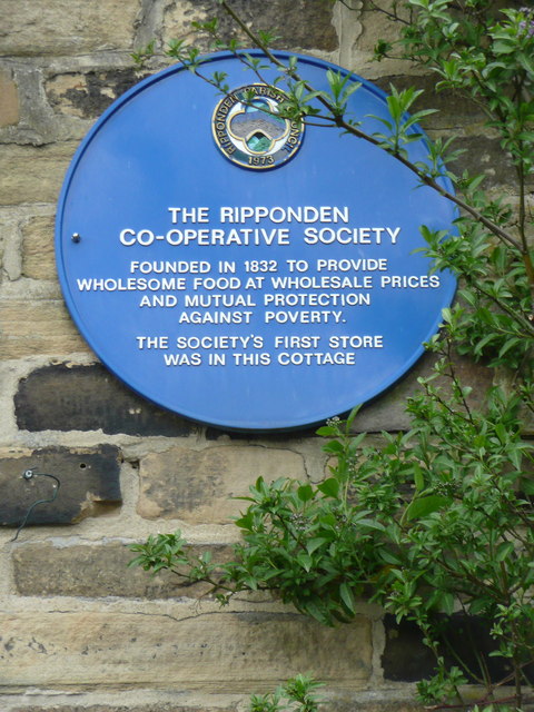
Soyland
Soyland is a village in the civil parish of Ripponden, in Calderdale, West Yorkshire, England. It is just north of Ripponden off the A58 road and is 5...
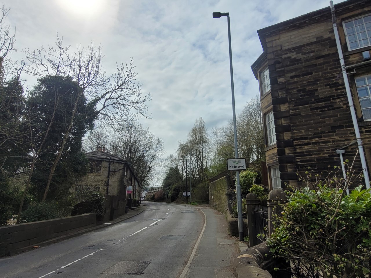
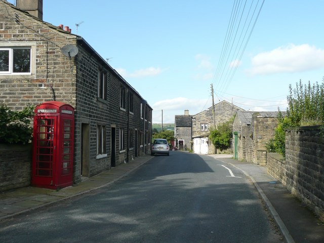
Kebroyd
Kebroyd is a small hamlet in the civil parish of Ripponden, in the Calderdale district, in West Yorkshire, England, within the valley of the River Ryburn...

Triangle railway station
Triangle railway station was a railway station near Triangle on the Rishworth branch built by the Lancashire & Yorkshire Railway. When open, services ran...
Triangle, West Yorkshire
Triangle is a village in the Calderdale borough of West Yorkshire, England. It is located in the valley of the River Ryburn, on the A58 road over the South...
Nearby Amenities
Located within 500m of 53.688943,-1.9540957Have you been to Charles Wood?
Leave your review of Charles Wood below (or comments, questions and feedback).