Barley Hill

Hill, Mountain in Northumberland

England

Barley Hill

St Andrew's Church, Shotley St Andrews is cruciform with a bell-cote, Built in 1769 on the site of a much older church and remodelled in 1892. It stands 960 feet (293 metres) above sea level on Grey Mare Hill. The vicarage was at Unthank and is now two cottages.
St Andrew's Church, Shotley Credit: Ken Brown

Barley Hill is a prominent hill located in the county of Northumberland, England. Standing at an elevation of approximately 450 meters (1,480 feet), it is classified as a hill rather than a mountain. It is situated near the small village of Barley, hence the name.

The hill is part of the Northumberland National Park, known for its stunning natural beauty and diverse wildlife. Barley Hill offers breathtaking panoramic views of the surrounding countryside, including the Cheviot Hills to the north and the Northumberland coastline to the east.

The terrain of Barley Hill is mostly rugged and rocky, with sparse vegetation covering its slopes. It is a popular destination for hikers and nature enthusiasts, as well as photographers seeking to capture the stunning vistas. The hill offers a variety of walking routes, ranging from gentle strolls to more challenging hikes, making it suitable for visitors of all skill levels.

Barley Hill is also known for its rich historical and archaeological significance. It is home to several ancient burial mounds, known as tumuli, which date back to the Bronze Age. These burial sites provide a glimpse into the region's ancient past and have been preserved for their cultural and historical value.

Overall, Barley Hill is a captivating destination that combines natural beauty, outdoor activities, and a rich historical heritage. Whether visitors seek adventure, tranquility, or a deeper connection with the past, this Northumberland hill offers an unforgettable experience.

If you have any feedback on the listing, please let us know in the comments section below.
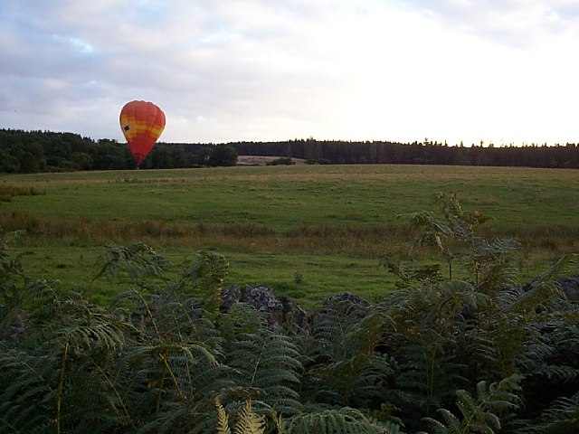
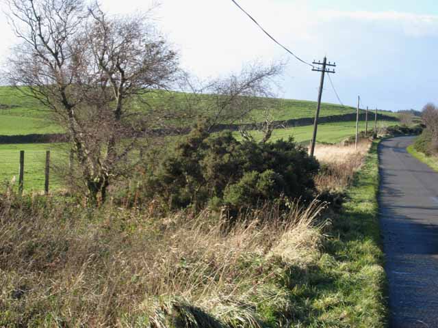
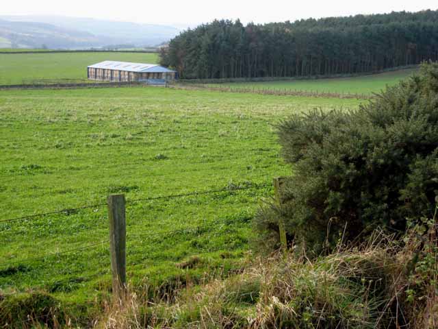
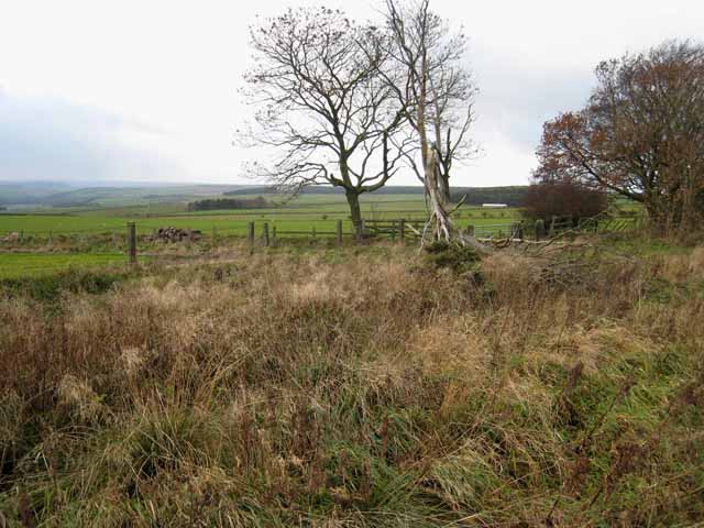
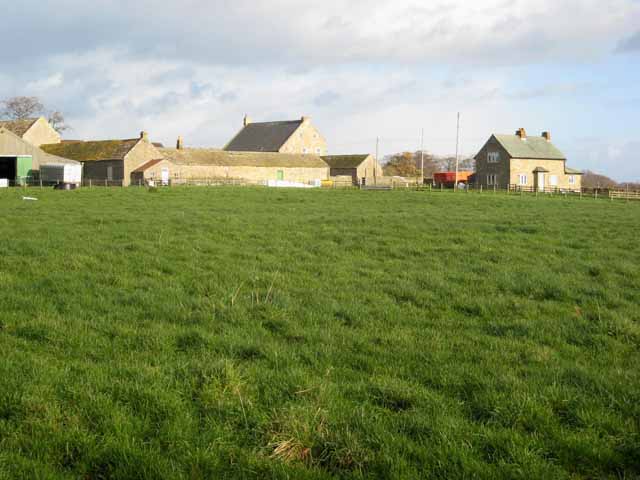
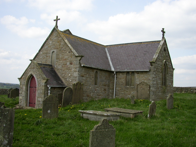
Barley Hill Images

Images are sourced within 2km of 54.88838/-1.9609966 or Grid Reference NZ0254. Thanks to Geograph Open Source API. All images are credited.

St Andrew's Church, Shotley St Andrews is cruciform with a bell-cote, Built in 1769 on the site of a much older church and remodelled in 1892. It stands 960 feet (293 metres) above sea level on Grey Mare Hill. The vicarage was at Unthank and is now two cottages.
St Andrew's Church, Shotley
St Andrews is cruciform with a bell-cote, Built in 1769 on the site of a much older church and remodelled in 1892. It stands 960 feet (293 metres) above sea level on Grey Mare Hill. The vicarage was at Unthank and is now two cottages.
Hoppers Mausoleum Situated in the graveyard of St Andrews Church, the elaborate domed mausoleum was built by Humphrey Hopper of Black Hedley in 1752 in memory of his wife Jane Hodgson, the Hoppers came from Scotland and the inscription records the presence of  Nicholas Hopper here in 1573.
Hoppers Mausoleum
Situated in the graveyard of St Andrews Church, the elaborate domed mausoleum was built by Humphrey Hopper of Black Hedley in 1752 in memory of his wife Jane Hodgson, the Hoppers came from Scotland and the inscription records the presence of Nicholas Hopper here in 1573.
Barley Hill Aptly named
Barley Hill
Aptly named
Upper Derwent Valley
Balloon Landing
Balloon Landing
Unthank From Unthank looking North to Greymare Hill and St. Andrews church.
Unthank
From Unthank looking North to Greymare Hill and St. Andrews church.
St. Andrews Church, Greymare Hill This is a Grade 1 listed building which commands far ranging views 360 Degrees around. The far horizon are the moors above the nearby Derwent Reservoir. This monument may be surrounded by Wind Turbines in the coming years.
St. Andrews Church, Greymare Hill
This is a Grade 1 listed building which commands far ranging views 360 Degrees around. The far horizon are the moors above the nearby Derwent Reservoir. This monument may be surrounded by Wind Turbines in the coming years.
Barleyhill Plantation
North Eastern entrance to Minsteracres Estate A passionist Monastery and retreat.
North Eastern entrance to Minsteracres Estate
A passionist Monastery and retreat.
Drunken telegraph pole, Hairy Side
The road down to the north side of the Derwent Reservoir Just south of School House Farm.
The road down to the north side of the Derwent Reservoir
Just south of School House Farm.
Field, barn and plantation near West Minsteracres
Roadside scene near Barleyhill
West Minsteracres Farm
Mill Stones A country cottage near School House Farm.
Mill Stones
A country cottage near School House Farm.
Gateway to Minsteracres Monastery Minsteracres Monastery <span class="nowrap"><a title="http://www.minsteracres.co.uk/" rel="nofollow ugc noopener" href="http://www.minsteracres.co.uk/">Link</a><img style="margin-left:2px;" alt="External link" title="External link - shift click to open in new window" src="https://s1.geograph.org.uk/img/external.png" width="10" height="10"/></span> was established as a Passionist community in 1950; it was expanded in 1967 to include a retreat and conference centre.
Gateway to Minsteracres Monastery
Minsteracres Monastery LinkExternal link was established as a Passionist community in 1950; it was expanded in 1967 to include a retreat and conference centre.
New House Farm Just off the A68 Darlington to Corbridge road.
New House Farm
Just off the A68 Darlington to Corbridge road.
Roadside near New House Farm On the road from Carterway Heads to Slaley.
Roadside near New House Farm
On the road from Carterway Heads to Slaley.
Show me another place!

Barley Hill is located at Grid Ref: NZ0254 (Lat: 54.88838, Lng: -1.9609966)

Unitary Authority: Northumberland

Police Authority: Northumbria

What 3 Words

///ready.shielding.tried. Near Healey, Northumberland

Related Wikis

Nearby Amenities

Located within 500m of 54.88838,-1.9609966
The data included in this document is from www.openstreetmap.org. The data is made available under ODbL.

Have you been to Barley Hill?

Leave your review of Barley Hill below (or comments, questions and feedback).