Barleyhill Plantation
Wood, Forest in Northumberland
England
Barleyhill Plantation

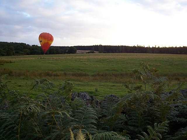
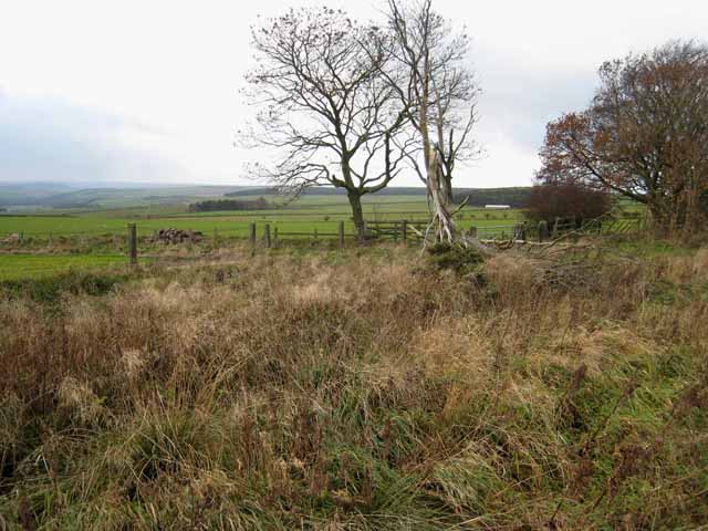
Barleyhill Plantation is a picturesque woodland located in Northumberland, England. Situated near the village of Barleyhill, the plantation spans an area of approximately 500 acres, making it one of the largest woodlands in the region. The plantation is nestled within the stunning Northumberland countryside, surrounded by rolling hills and tranquil streams.
The woodland consists predominantly of mature oak, beech, and birch trees, giving it a diverse and vibrant ecosystem. The dense canopy provides an ideal habitat for a variety of wildlife, including deer, foxes, and numerous species of birds, making it a popular destination for nature enthusiasts and birdwatchers.
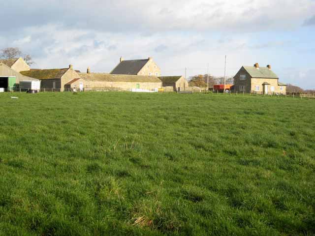
Barleyhill Plantation offers a range of amenities for visitors to enjoy. There are well-maintained walking trails that wind their way through the woodland, allowing visitors to explore its natural beauty at their own pace. These trails are suitable for individuals of all fitness levels and offer stunning views of the surrounding countryside.
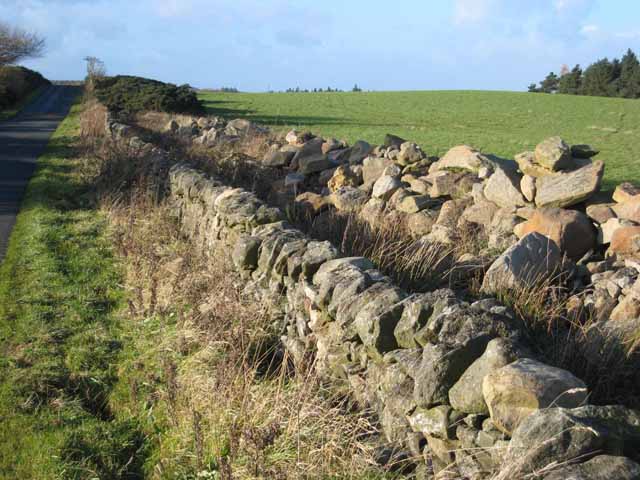
In addition to its natural beauty, the plantation has a rich historical significance. It was once part of a larger estate, and remnants of old stone walls and agricultural structures can still be found scattered throughout the woodland. These historical features serve as a reminder of the area's past and add a sense of charm and character to the plantation.
Overall, Barleyhill Plantation is a serene and enchanting woodland that offers visitors the opportunity to immerse themselves in nature and experience the tranquility of Northumberland's countryside. Whether it's a leisurely walk, wildlife spotting, or simply enjoying the peaceful ambiance, Barleyhill Plantation is a hidden gem that should not be missed.
If you have any feedback on the listing, please let us know in the comments section below.
Barleyhill Plantation Images
Images are sourced within 2km of 54.88963/-1.9650331 or Grid Reference NZ0254. Thanks to Geograph Open Source API. All images are credited.


Barleyhill Plantation is located at Grid Ref: NZ0254 (Lat: 54.88963, Lng: -1.9650331)
Unitary Authority: Northumberland
Police Authority: Northumbria
What 3 Words
///cinemas.chatters.shams. Near Healey, Northumberland
Related Wikis

Minsteracres
Minsteracres is an 18th-century mansion house, now a Christian retreat centre, in Northumberland, England. It is a Grade II listed building.The house was...
St Andrew's Church, Shotley
St Andrew's Church, Shotley, is a redundant Anglican church standing in an isolated position at a height of 960 feet (293 m) on Greymare Hill in Northumberland...

Derwent Reservoir (North East England)
The Derwent Reservoir is a reservoir on the River Derwent, on the border between County Durham and Northumberland, in England. It is west of Consett. It...

Slaley Hall
Slaley Hall is a country house golf resort in Northumberland in North East England, built by local developers Seamus O'Carroll and John Rourke which hosted...

Pow Hill Bog
Pow Hill Bog is a Site of Special Scientific Interest in the Wear Valley district of County Durham, England. It lies alongside Derwent Reservoir, approximately...

Healey, Northumberland
Healey is a rural estate and civil parish in Northumberland, England, situated between Riding Mill to the north and Slaley to the south. The neo-Norman...

Colpitts Grange
Colpitts Grange is a hamlet in Northumberland, England. It is about 7 miles (11 km) to the south-east of Hexham. == Governance == Colpitts Grange is in...

Carterway Heads
Carterway Heads is a hamlet in Northumberland, England. It is situated between Consett and the Derwent Reservoir, at the intersection of the A68 and B6278...
Nearby Amenities
Located within 500m of 54.88963,-1.9650331Have you been to Barleyhill Plantation?
Leave your review of Barleyhill Plantation below (or comments, questions and feedback).