Alderton Hill
Hill, Mountain in Gloucestershire Tewkesbury
England
Alderton Hill

Alderton Hill is a prominent hill located in Gloucestershire, England. Situated in the Cotswold Area of Outstanding Natural Beauty, it offers breathtaking views of the surrounding countryside. Rising to a height of 198 meters (650 feet), Alderton Hill is a popular destination for hikers, nature enthusiasts, and photographers.
Covered in lush greenery, the hill is home to a variety of flora and fauna. It boasts a diverse range of plant species, including wildflowers, grasses, and trees such as oak and beech. This rich biodiversity attracts a wide array of wildlife, including birds, small mammals, and insects.
The hill is crisscrossed by a network of footpaths and trails, making it easily accessible for walkers of all abilities. These paths lead adventurers through rolling fields, wooded areas, and picturesque countryside, providing opportunities for exploration and discovery. Many visitors choose to embark on the circular walk that encompasses Alderton Hill, taking them through charming villages and past historical landmarks.
At the summit of Alderton Hill, visitors are rewarded with panoramic vistas of the surrounding area. On clear days, it is possible to see the Malvern Hills, the River Severn, and even the distant Black Mountains of Wales. This breathtaking view makes Alderton Hill a favorite spot for picnickers and those seeking a tranquil escape from the hustle and bustle of everyday life.
Overall, Alderton Hill in Gloucestershire is a place of natural beauty, offering stunning views and an abundance of wildlife. It provides a haven for outdoor enthusiasts and a chance to immerse oneself in the peacefulness of the English countryside.
If you have any feedback on the listing, please let us know in the comments section below.
Alderton Hill Images
Images are sourced within 2km of 52.009489/-1.9877595 or Grid Reference SP0034. Thanks to Geograph Open Source API. All images are credited.


Alderton Hill is located at Grid Ref: SP0034 (Lat: 52.009489, Lng: -1.9877595)
Administrative County: Gloucestershire
District: Tewkesbury
Police Authority: Gloucestershire
What 3 Words
///ascendant.graced.historic. Near Winchcombe, Gloucestershire
Nearby Locations
Related Wikis

Alderton Hill Quarry
Alderton Hill Quarry (grid reference SP006345) is a 0.34-hectare (0.84-acre) geological Site of Special Scientific Interest in Gloucestershire, notified...
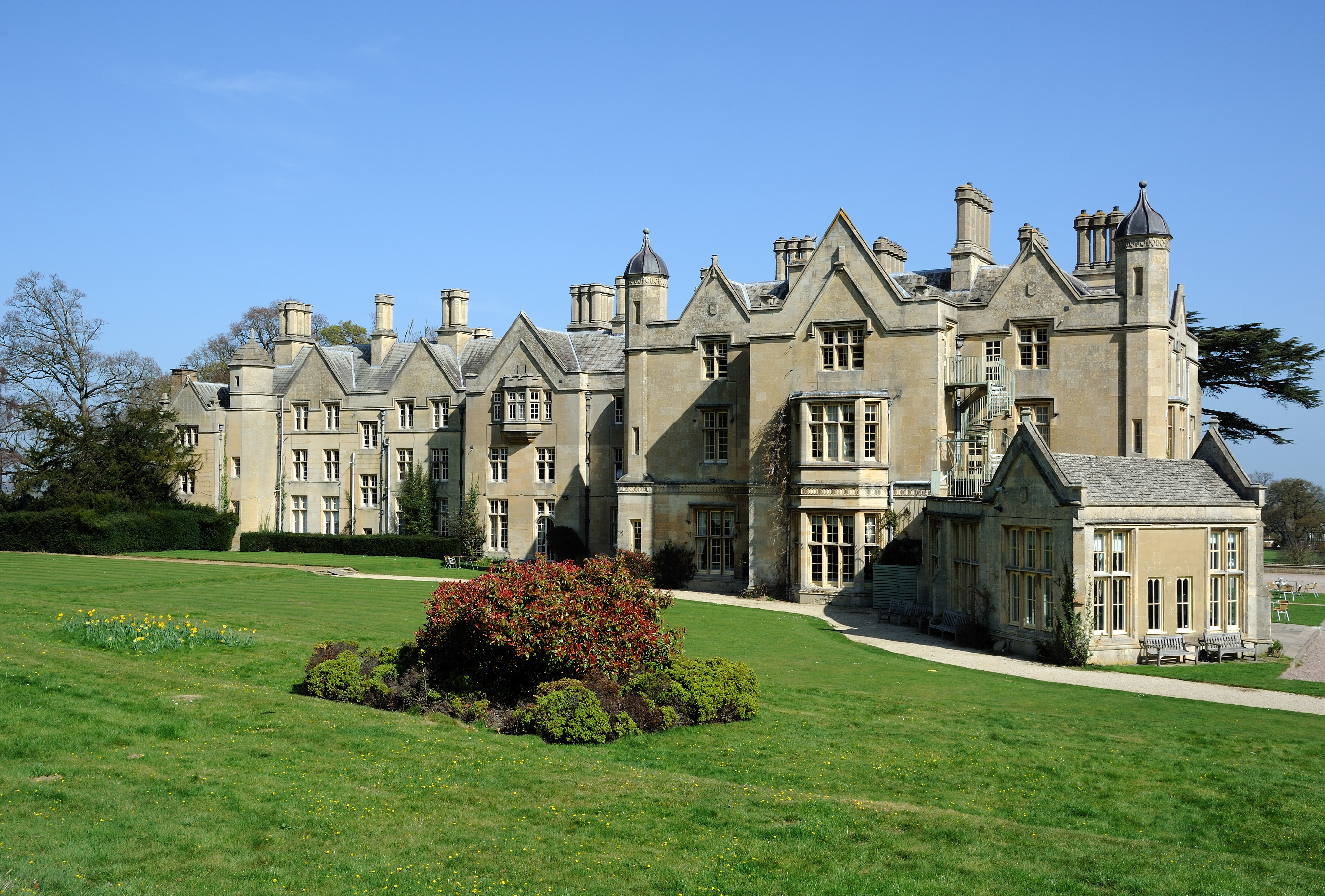
Dumbleton Hall
Dumbleton Hall is in the village of Dumbleton between the towns of Evesham and Tewkesbury and on the boundary of Worcestershire and Gloucestershire. The...

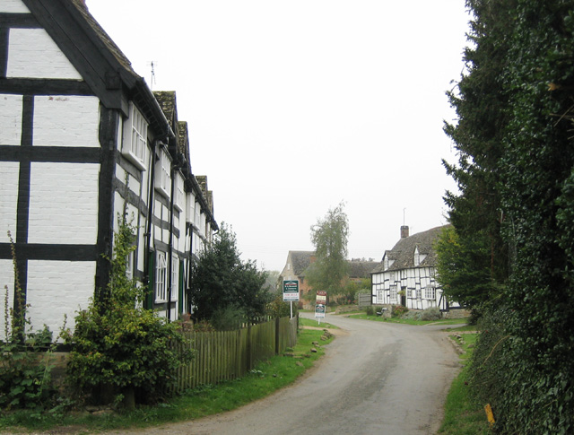
Alderton, Gloucestershire
Alderton is a village and civil parish in the Tewkesbury district of Gloucestershire, England. The village is about 15 miles (24 km) north of Cheltenham...

Dumbleton
Dumbleton is a village and civil parish in the Tewkesbury district, in the county of Gloucestershire, England. The village is roughly 20 miles from the...

Little Washbourne
Little Washbourne is a village and former civil parish, now in the parish of Dumbleton, in the Tewkesbury district, in Gloucestershire, England, 6 miles...
Great Washbourne
Great Washbourne is a village and former civil parish, now in the parish of Dumbleton, in the Tewkesbury district, in Gloucestershire, England, 6 miles...

St Mary's Church, Little Washbourne
St Mary's Church, is a historic Anglican church at Little Washbourne in the civil parish of Dumbleton, Gloucestershire, England under the care of the Churches...

St Andrew's Church, Toddington
St Andrew's Church, Toddington is a Grade I Listed Building in the town of Toddington, Gloucestershire, England. The present church is the third to occupy...
Nearby Amenities
Located within 500m of 52.009489,-1.9877595Have you been to Alderton Hill?
Leave your review of Alderton Hill below (or comments, questions and feedback).