Cut Stones Hill
Hill, Mountain in Yorkshire
England
Cut Stones Hill
Cut Stones Hill is a prominent hill located in the picturesque region of Yorkshire, England. It is situated in the southern part of the county, in close proximity to the village of Marsden. Standing at an impressive elevation of approximately 1,618 feet (494 meters), it is considered one of the highest points in the area.
The hill is characterized by its distinct rocky outcrop, which gives it its name. The exposed rock formations are a result of the erosion caused by glaciers during the last Ice Age. These weathered stones create a unique and striking visual appeal, attracting visitors and nature enthusiasts from far and wide.
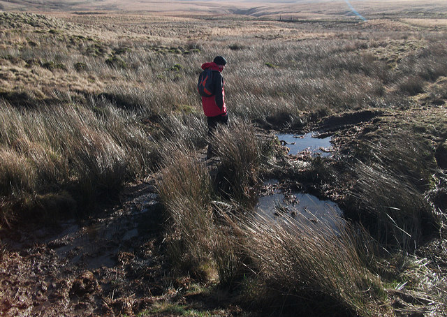
Cut Stones Hill offers breathtaking panoramic views of the surrounding countryside, including the nearby Peak District National Park. On clear days, one can see the rolling hills, lush valleys, and charming villages that dot the landscape. The hill provides a perfect vantage point for photographers and hikers looking to capture the beauty of the Yorkshire countryside.
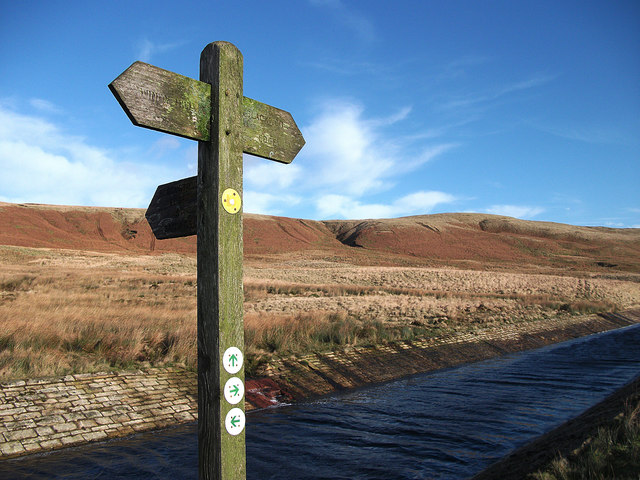
The hill is a popular destination for outdoor activities, such as walking, hiking, and birdwatching. Several well-marked trails crisscross the hill, allowing visitors to explore the diverse flora and fauna that call this area home. The hill is particularly known for its population of red grouse, which can often be spotted darting through the heather-covered slopes.
Cut Stones Hill is not only a natural landmark but also a site with historical significance. It is believed to have been used as a burial ground during prehistoric times, with several ancient burial mounds found in the vicinity. These archaeological remains add to the cultural heritage and intrigue of this stunning Yorkshire hill.
If you have any feedback on the listing, please let us know in the comments section below.
Cut Stones Hill Images
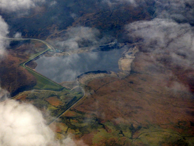
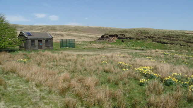
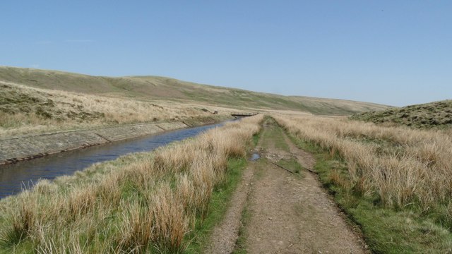
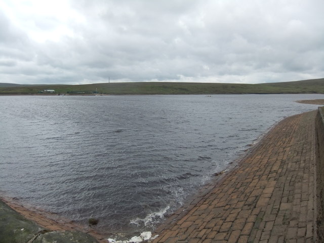
Images are sourced within 2km of 53.650213/-1.9967247 or Grid Reference SE0017. Thanks to Geograph Open Source API. All images are credited.


Cut Stones Hill is located at Grid Ref: SE0017 (Lat: 53.650213, Lng: -1.9967247)
Division: West Riding
Unitary Authority: Calderdale
Police Authority: West Yorkshire
What 3 Words
///tilts.defeated.limitless. Near Ripponden, West Yorkshire
Nearby Locations
Related Wikis
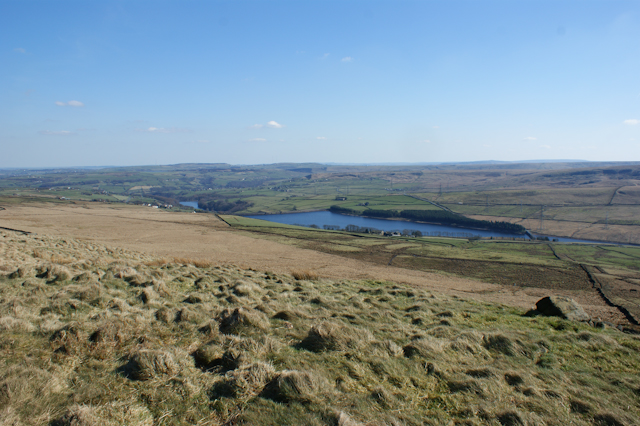
Baitings Reservoir
Baitings Reservoir is a large water supply reservoir operated by Yorkshire Water close to Ripponden in the West Yorkshire Pennines, England. It lies in...
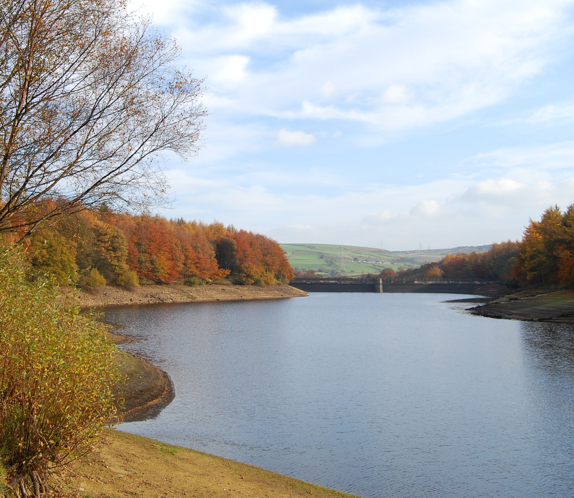
Ryburn Reservoir
Ryburn Reservoir is a supply reservoir operated by Yorkshire Water close to Ripponden in the Yorkshire Pennines, England. It lies in the valley of the...

Booth Wood Reservoir
Booth Wood Reservoir is a man-made upland reservoir that lies north of the M62 motorway and south of the A672 road near to Rishworth and Ripponden in Calderdale...

Stott Hall Farm
Stott Hall Farm is a farm located between the eastbound and westbound carriageways of the M62 motorway in Calderdale, England. It is the only farm in the...
Nearby Amenities
Located within 500m of 53.650213,-1.9967247Have you been to Cut Stones Hill?
Leave your review of Cut Stones Hill below (or comments, questions and feedback).