Beldow Hill

Hill, Mountain in Yorkshire Richmondshire

England

Beldow Hill

Old Hush, Apedale Head Mine Apedale Head Mine had its own community of houses for the miners working around here. The mine was begun in the 1760's and worked continuously until 1883.
Old Hush, Apedale Head Mine Credit: Matthew Hatton

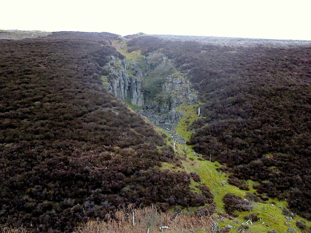
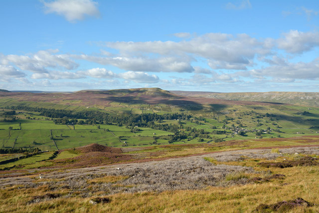
Beldow Hill, located in Yorkshire, England, is a prominent natural feature that stands tall among the picturesque landscape of the region. Rising to an elevation of approximately 400 meters (1,300 feet), it is classified as a hill rather than a mountain due to its modest height. Nevertheless, Beldow Hill offers breathtaking panoramic views of the surrounding countryside, making it a popular destination for hikers, nature enthusiasts, and photographers.

Covered in lush greenery, Beldow Hill showcases the natural beauty of Yorkshire. Its slopes are adorned with a variety of vegetation, including heather, grasses, and wildflowers, creating a stunning display of colors throughout the seasons. The hill is also home to diverse wildlife, such as birds, rabbits, and occasionally deer, providing visitors with the opportunity to observe and appreciate the area's ecological richness.

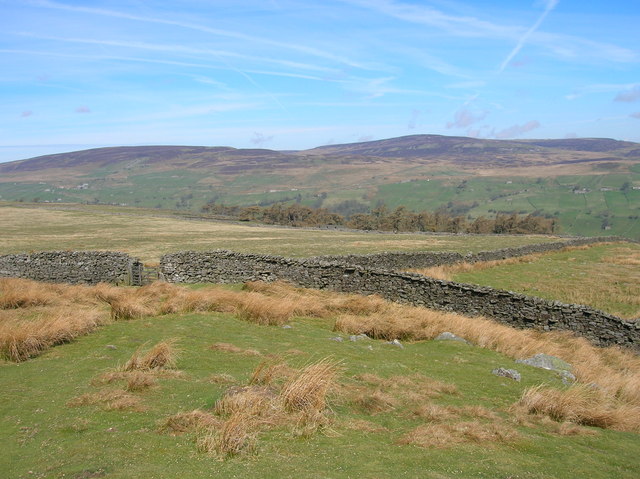
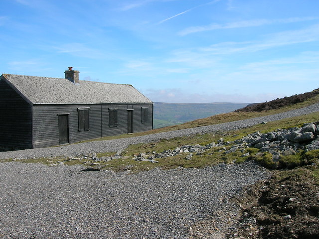
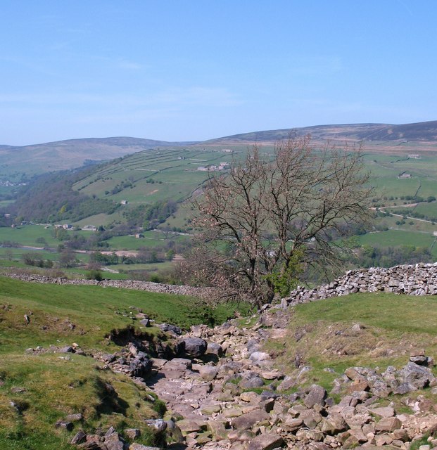
Accessing Beldow Hill is relatively straightforward, with various footpaths and trails leading up to its summit. These paths, often well-maintained, offer both challenging routes for experienced hikers and more leisurely options for those seeking a peaceful stroll. As visitors ascend the hill, they are greeted with ever-expanding vistas, allowing them to immerse themselves in the natural splendor of the region.

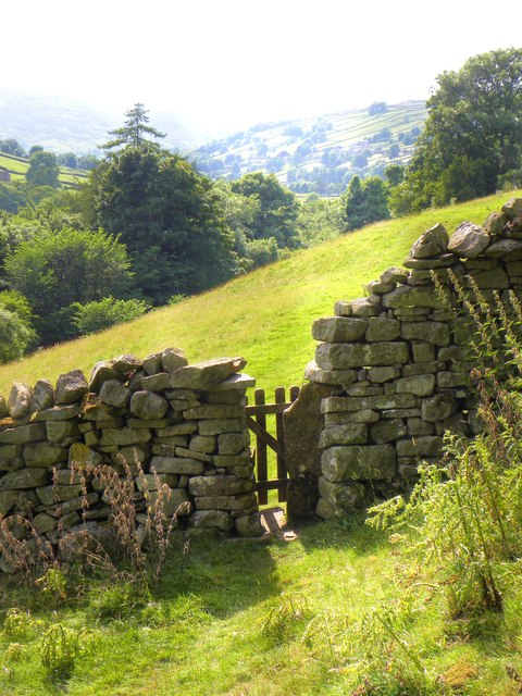
Beldow Hill's location within Yorkshire contributes to its allure, as it is surrounded by other notable landmarks, including quaint villages, historic sites, and sprawling farmland. This proximity makes Beldow Hill an ideal starting point for exploring the wider region, providing a glimpse into the unique charm and character that Yorkshire has to offer.

In conclusion, Beldow Hill, with its commanding presence, stunning views, and close proximity to other attractions, is a remarkable natural feature that encapsulates the beauty and diversity of Yorkshire's landscape.

If you have any feedback on the listing, please let us know in the comments section below.
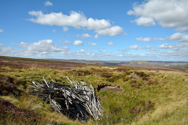
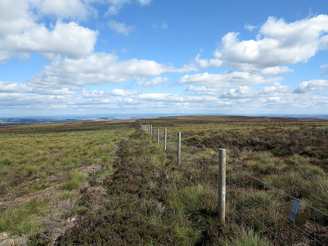
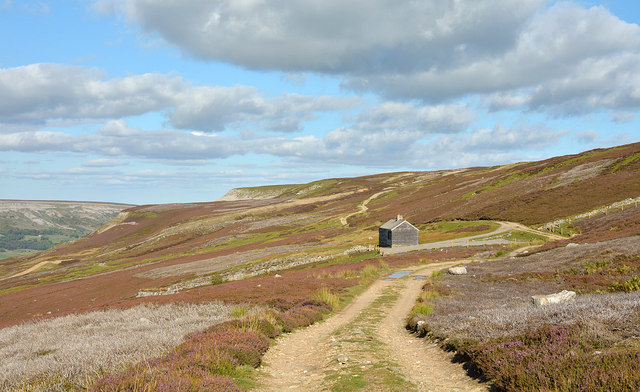
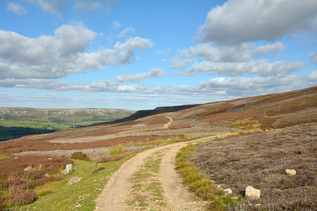
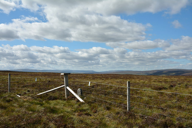
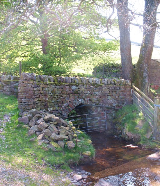
Beldow Hill Images

Images are sourced within 2km of 54.365952/-1.996688 or Grid Reference SE0096. Thanks to Geograph Open Source API. All images are credited.

Old Hush, Apedale Head Mine Apedale Head Mine had its own community of houses for the miners working around here. The mine was begun in the 1760's and worked continuously until 1883.
Old Hush, Apedale Head Mine
Apedale Head Mine had its own community of houses for the miners working around here. The mine was begun in the 1760's and worked continuously until 1883.
Dark Age Earthwork Situated at the head of Grovebeck Gill, this is the tail-end of an earthen bank and ditch that stretched across Swaledale, it can be traced up to High Fremington on the north side of the valley; close to the River Swale near Grinton; and then over Long Scar on Harkerside Moor. It was supposed to mark the boundary between two 6/7thC kingdoms. To the east were the incomers, the Danes & the Saxons, and in the west a Romano-British tribe.
Dark Age Earthwork
Situated at the head of Grovebeck Gill, this is the tail-end of an earthen bank and ditch that stretched across Swaledale, it can be traced up to High Fremington on the north side of the valley; close to the River Swale near Grinton; and then over Long Scar on Harkerside Moor. It was supposed to mark the boundary between two 6/7thC kingdoms. To the east were the incomers, the Danes & the Saxons, and in the west a Romano-British tribe.
Old Moor Gate A little used bridleway.
Old Moor Gate
A little used bridleway.
Shooting Hut at Blue Hill
Swaledale footpath Part of what is an ancient route between Feetham and Healaugh contouring the hillside above the present B6270 which drops to the flood prone meadows by the Swale. At its eastern end this path heads for Barney Beck High Bridge, which also has medieval origins.
Swaledale footpath
Part of what is an ancient route between Feetham and Healaugh contouring the hillside above the present B6270 which drops to the flood prone meadows by the Swale. At its eastern end this path heads for Barney Beck High Bridge, which also has medieval origins.
Old mine shaft near Gibbon Hill The tops of mine shafts often show well on moorland as they are surrounded, as here, by a grassed-over collar of mine spoil. The shaft seen here appears not to be open but is probably sealed in some rudimentary way - to walk on its base might be unwise. It's possible of course that the shaft was of no great depth. The dumped timber surely has no connection with the mine's history but is simply a mass of old fencing wood dumped there.
Old mine shaft near Gibbon Hill
The tops of mine shafts often show well on moorland as they are surrounded, as here, by a grassed-over collar of mine spoil. The shaft seen here appears not to be open but is probably sealed in some rudimentary way - to walk on its base might be unwise. It's possible of course that the shaft was of no great depth. The dumped timber surely has no connection with the mine's history but is simply a mass of old fencing wood dumped there.
Fence line heading towards Greets Hill The fence connects two moorland hill tops, Gibbon Hill and Greets Hill; those tops are actually very minor rises indeed along the ridge dividing Swaledale and Apedale.
Fence line heading towards Greets Hill
The fence connects two moorland hill tops, Gibbon Hill and Greets Hill; those tops are actually very minor rises indeed along the ridge dividing Swaledale and Apedale.
Estate road below Beldow Hill Beldow Hill is a fairly vague location on the northern slope of High Carl and Gibbon Hill, which are themselves two minor features of the southern side of Swaledale. The road is heading eastwards towards a shooting hut where, on earlier visits the photographer has found a stuffed ram in one of the unlocked rooms! It was absent on this occasion.
Estate road below Beldow Hill
Beldow Hill is a fairly vague location on the northern slope of High Carl and Gibbon Hill, which are themselves two minor features of the southern side of Swaledale. The road is heading eastwards towards a shooting hut where, on earlier visits the photographer has found a stuffed ram in one of the unlocked rooms! It was absent on this occasion.
Estate road north of High Carl The road is on the southern slope of Swaledale; it follows a route which is also that of a bridleway.
Estate road north of High Carl
The road is on the southern slope of Swaledale; it follows a route which is also that of a bridleway.
Summit area of High Carl High Carl is a moorland hill top near to Apedale Head. The fence crosses close to the hill's highest point which may well be just beyond the fence line - OS mapping gives a spot height in that direction, west of the fence angle, at 555m. The low boundary stone is cut with a 'B' on the south side which is in view; there's the letter 'F' on the other side.
Summit area of High Carl
High Carl is a moorland hill top near to Apedale Head. The fence crosses close to the hill's highest point which may well be just beyond the fence line - OS mapping gives a spot height in that direction, west of the fence angle, at 555m. The low boundary stone is cut with a 'B' on the south side which is in view; there's the letter 'F' on the other side.
Slope descending near Browna Gill The slope is on the south side of Swaledale. Calver Hill is on the far side of the valley at the centre of the image with Fremington Edge to the right of it and more distant.
Slope descending near Browna Gill
The slope is on the south side of Swaledale. Calver Hill is on the far side of the valley at the centre of the image with Fremington Edge to the right of it and more distant.
Slope with estate road on southern side of Swaledale The estate road is also, at this location, the route of a bridleway. Swaledale lies below with a tributary valley - Arkengarthdale - beyond the spur of agricultural land; at the skyline above Arkengarthdale is Fremington Edge.
Slope with estate road on southern side of Swaledale
The estate road is also, at this location, the route of a bridleway. Swaledale lies below with a tributary valley - Arkengarthdale - beyond the spur of agricultural land; at the skyline above Arkengarthdale is Fremington Edge.
South Grain With evidence of former lead mining activities.
South Grain
With evidence of former lead mining activities.
Pond, Apedale Head A former pit shaft I think.
Pond, Apedale Head
A former pit shaft I think.
Gibbon Hill Looking north.
Gibbon Hill
Looking north.
On Gibbon Hill Looking south.
On Gibbon Hill
Looking south.
Footbridge over Mirk Gill Old stone footbridge over Mirk Gill, close to Hops House.
Footbridge over Mirk Gill
Old stone footbridge over Mirk Gill, close to Hops House.
Birks Gill Birks Gill should mean 'gill of the birches', but the only tree in evidence here appears to be an ash. The beck is almost completely dry following weeks with very little rainfall.
Birks Gill
Birks Gill should mean 'gill of the birches', but the only tree in evidence here appears to be an ash. The beck is almost completely dry following weeks with very little rainfall.
Show me another place!

Beldow Hill is located at Grid Ref: SE0096 (Lat: 54.365952, Lng: -1.996688)

Division: North Riding

Administrative County: North Yorkshire

District: Richmondshire

Police Authority: North Yorkshire

What 3 Words

///minerals.muted.indulgent. Near Leyburn, North Yorkshire

Nearby Locations

Green Hills Beldow Hill

Related Wikis

Maiden Castle, North Yorkshire

Maiden Castle is a settlement in Grinton, North Yorkshire (grid reference SE02189808) which probably dates from the Iron Age. It is listed as a Scheduled...

Feetham

Feetham is a hamlet opposite Low Row in the Yorkshire Dales, North Yorkshire, England. The origin of the place-name is from Old Norse and means place at...

Kearton

Kearton is a hamlet in the Yorkshire Dales, North Yorkshire, England. Kearton is situated near Low Row and Reeth. == References == == External links... ==

Low Row

Low Row is a village in Swaledale, in the Yorkshire Dales, North Yorkshire, England. It lies about 3 miles west of Reeth and is between Healaugh and Gunnerside...

Nearby Amenities

Located within 500m of 54.365952,-1.996688
Guy Mine
Historic: mine
Source: NPE
Lat/Long: 54.3674895/-1.9904023
Green Hills Mine
Historic: mine
Source: gps survey
Lat/Long: 54.3677388/-2.0031206
The data included in this document is from www.openstreetmap.org. The data is made available under ODbL.

Have you been to Beldow Hill?

Leave your review of Beldow Hill below (or comments, questions and feedback).