Round Hill

Hill, Mountain in Gloucestershire Cotswold

England

Round Hill

Little Colesbourne - Withington, Gloucestershire This is the detached farmhouse of Little Colesbourne which in spite of its name is actually in the parish of Withington. It was Grade II listed on 11th February 1986 and dates from the 17th and 19th centuries. Time photo taken not available. Source:British Listed Buildings. <a href="https://www.geograph.org.uk/photo/2881964">SP0013 : Little Colesbourne</a>
Little Colesbourne - Withington, Gloucestershire Credit: Martin Richard Phelan

Round Hill is a prominent hill located in the county of Gloucestershire, England. Situated near the village of Bisley, it is part of the Cotswold Hills, a designated Area of Outstanding Natural Beauty. The hill stands at an elevation of approximately 269 meters (883 feet) above sea level, making it one of the highest points in the region.

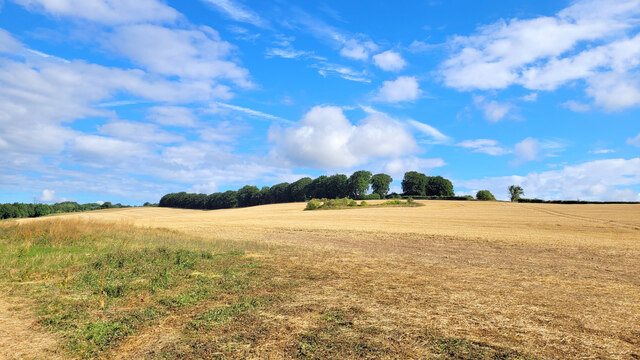
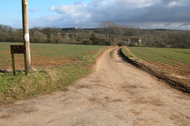
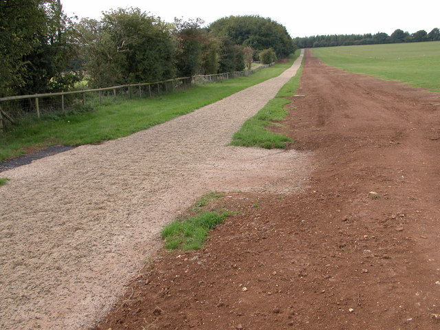
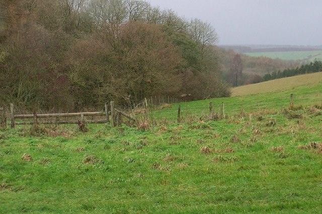
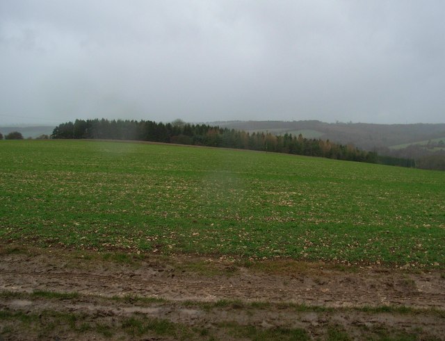
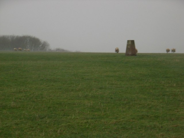
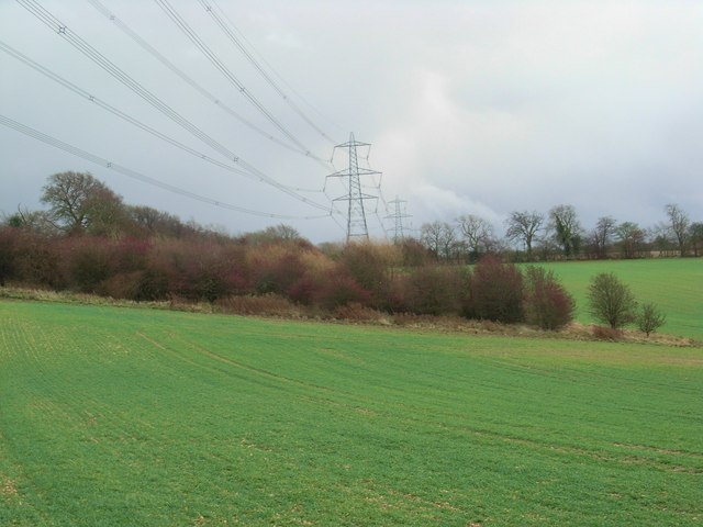
Round Hill is renowned for its picturesque landscape and offers breathtaking panoramic views of the surrounding countryside. The hill is characterized by rolling green slopes, covered in a patchwork of fields and woodlands. It is a popular destination for walkers, hikers, and nature enthusiasts, attracting both locals and tourists alike.

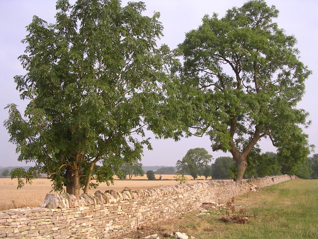
The area surrounding Round Hill is rich in biodiversity, with a diverse range of flora and fauna calling it home. The hill is home to various species of wildlife, including deer, badgers, and a variety of birds. Additionally, the hillside is adorned with beautiful wildflowers during the spring and summer months, adding to its natural charm.

For those interested in history, Round Hill also holds archaeological significance. The remains of an Iron Age hillfort can be found near its summit, providing insight into the area's ancient past.

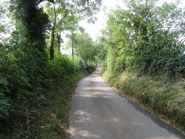
Round Hill is easily accessible by foot, with several footpaths and trails leading to its summit. There are also nearby parking facilities for those wishing to drive to the area. Whether it be for a leisurely stroll or a challenging hike, Round Hill offers a captivating and serene natural experience for visitors to Gloucestershire.

If you have any feedback on the listing, please let us know in the comments section below.
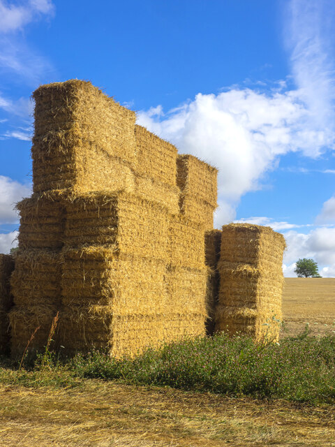
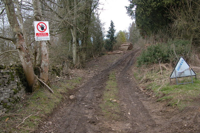
Round Hill Images

Images are sourced within 2km of 51.840211/-1.9981533 or Grid Reference SP0015. Thanks to Geograph Open Source API. All images are credited.

Little Colesbourne - Withington, Gloucestershire This is the detached farmhouse of Little Colesbourne which in spite of its name is actually in the parish of Withington. It was Grade II listed on 11th February 1986 and dates from the 17th and 19th centuries. Time photo taken not available. Source:British Listed Buildings. <a href="https://www.geograph.org.uk/photo/2881964">SP0013 : Little Colesbourne</a>
Little Colesbourne - Withington, Gloucestershire
This is the detached farmhouse of Little Colesbourne which in spite of its name is actually in the parish of Withington. It was Grade II listed on 11th February 1986 and dates from the 17th and 19th centuries. Time photo taken not available. Source:British Listed Buildings. SP0013 : Little Colesbourne
Straw castle On a field edge near Norbury Camp is this partially-built straw construction.
Straw castle
On a field edge near Norbury Camp is this partially-built straw construction.
Norbury Camp Set amongst the harvested fields and patches of woodland in this corner of the Cotswolds.
Norbury Camp
Set amongst the harvested fields and patches of woodland in this corner of the Cotswolds.
Gloucestershire Way near St Paul's Epistle This lane which runs from Kilkenny to Hilcot forms part of the Gloucestershire Way for about a kilometre here.
Gloucestershire Way near St Paul's Epistle
This lane which runs from Kilkenny to Hilcot forms part of the Gloucestershire Way for about a kilometre here.
Forestry work at Little Colesbourne Warning at the entrance to Barncombe Bottom of forestry activity in Little Colesbourne.
Forestry work at Little Colesbourne
Warning at the entrance to Barncombe Bottom of forestry activity in Little Colesbourne.
Driveway to Staple Farm, Colesbourne Driveway to Staple Farm Farm, high on the Cotswolds above Colesbourne.
Driveway to Staple Farm, Colesbourne
Driveway to Staple Farm Farm, high on the Cotswolds above Colesbourne.
Cottage at Hill Barn, Withington
Gallops near Thorndale The gallops follow the hedge up the hill and are situated to the south of the farm at Thorndale. At the time the gallops appear to be recently created.
Gallops near Thorndale
The gallops follow the hedge up the hill and are situated to the south of the farm at Thorndale. At the time the gallops appear to be recently created.
Farmhouse, Upcote Farm A cotswold stone farmhouse with an attractive garden and pool.
Farmhouse, Upcote Farm
A cotswold stone farmhouse with an attractive garden and pool.
Straw bales near Upcote Farm
Farm track near Elwell
Below Taylor's Hill Looking down the valley between Taylor's Hill and Round Hill.
Below Taylor's Hill
Looking down the valley between Taylor's Hill and Round Hill.
On Withington Hill Looking in the direction of Shornhill Farm, which is behind the trees.
On Withington Hill
Looking in the direction of Shornhill Farm, which is behind the trees.
Triangulation pillar on Withington Hill In wet, windy, wintery conditions.
Triangulation pillar on Withington Hill
In wet, windy, wintery conditions.
Hawthorns and power lines During a brief respite from the rain. The trees are on the position marked on the map as a well.
Hawthorns and power lines
During a brief respite from the rain. The trees are on the position marked on the map as a well.
Restoration of Dry Stone Wall
Cottage at Elwell, near Withington Cotswold cottage beside a bridleway near the village of Withington.
Cottage at Elwell, near Withington
Cotswold cottage beside a bridleway near the village of Withington.
Old ruined cottage
Old ruined cottage
Show me another place!

Round Hill is located at Grid Ref: SP0015 (Lat: 51.840211, Lng: -1.9981533)

Administrative County: Gloucestershire

District: Cotswold

Police Authority: Gloucestershire

What 3 Words

///cost.outgrown.exams. Near Charlton Kings, Gloucestershire

Related Wikis

Colesbourne

Colesbourne is a village and civil parish in the Cotswold district of Gloucestershire, England. The village and parish lies within the Cotswolds, a designated...

Withington, Gloucestershire

Withington is a Cotswold village and civil parish in Gloucestershire, England, about 7 miles (11 km) southeast of Cheltenham and 8 miles (13 km) north...

Church of St Michael, Withington

The Anglican Church of St Michael at Withington in the Cotswold District of Gloucestershire, England was built in the 12th century. It is a grade I listed...

Andoversford

Andoversford is a village and civil parish in the Cotswold District of Gloucestershire, England, about 5 miles (8 km) east of Cheltenham. The village is...

Nearby Amenities

Located within 500m of 51.840211,-1.9981533
Taylors Hill
Natural: peak
Lat/Long: 51.8418884/-1.9988352
Hilcot
Place: hamlet
Source: survey
Wikidata: Q51799002
Lat/Long: 51.84135/-2.0042441
The data included in this document is from www.openstreetmap.org. The data is made available under ODbL.

Have you been to Round Hill?

Leave your review of Round Hill below (or comments, questions and feedback).