Berry Hill

Hill, Mountain in Staffordshire Stafford

England

Berry Hill

Pasture and housing near Little Haywood in Staffordshire Looking north-north-east from the Trent and Mersey Canal, across the railway, towards Haywood House and other buildings in Main Road.
Pasture and housing near Little Haywood in Staffordshire Credit: Roger Kidd

Berry Hill is a small hill located in the county of Staffordshire, England. Situated in the Cannock Chase district, it is part of the wider Cannock Chase Area of Outstanding Natural Beauty. Despite its name, Berry Hill is not a mountain but rather a modest elevation that offers stunning views of the surrounding countryside.

Standing at a height of approximately 245 meters (804 feet) above sea level, Berry Hill is a popular destination for hikers and nature enthusiasts. The hill is covered in lush green vegetation, primarily consisting of grasses, shrubs, and trees such as oak and birch. The diverse flora attracts a variety of wildlife, including birds, small mammals, and insects.

The ascent to Berry Hill is relatively easy, with well-marked paths and trails leading to the hilltop. Along the way, visitors can enjoy the tranquil atmosphere and admire the picturesque landscape. Once at the summit, one can take in panoramic views of the Staffordshire countryside, with rolling hills, farmland, and scattered woodlands stretching as far as the eye can see.

In addition to its natural beauty, Berry Hill also has a rich historical significance. It is believed to have been inhabited since prehistoric times, and archaeological evidence suggests that human activity has occurred on the hill for thousands of years. Today, the hill serves as a reminder of the region's past and provides a peaceful retreat for those seeking solace in nature.

If you have any feedback on the listing, please let us know in the comments section below.
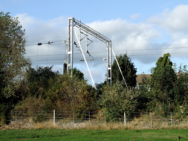
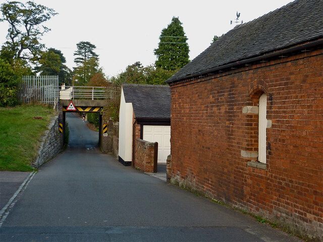
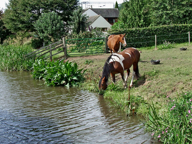
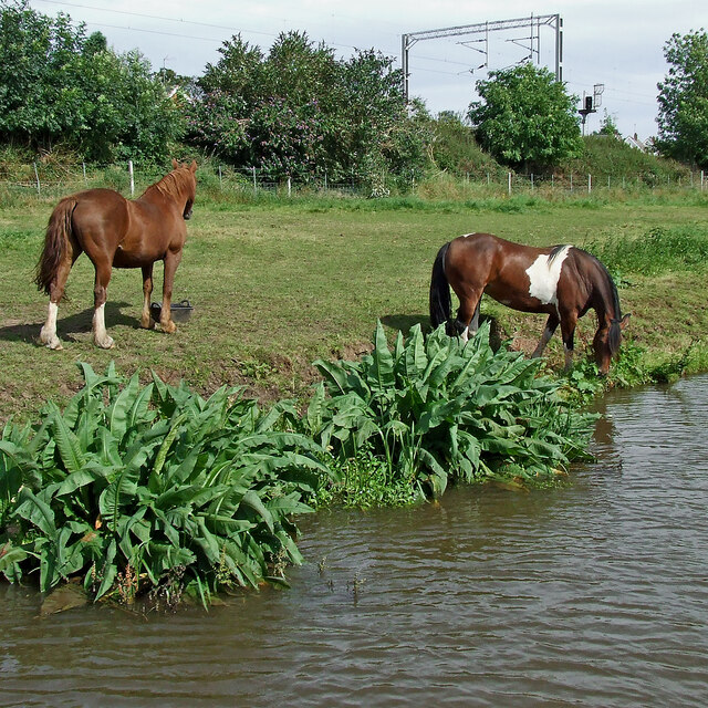
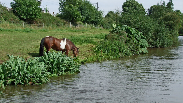
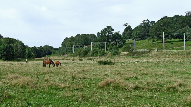
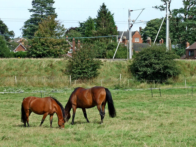
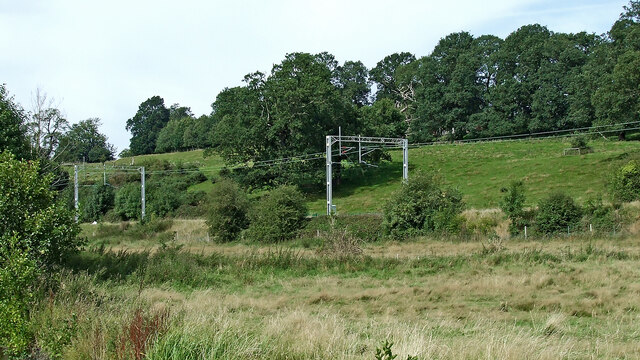
Berry Hill Images

Images are sourced within 2km of 52.781413/-2.0204023 or Grid Reference SJ9820. Thanks to Geograph Open Source API. All images are credited.

Pasture and housing near Little Haywood in Staffordshire Looking north-north-east from the Trent and Mersey Canal, across the railway, towards Haywood House and other buildings in Main Road.
Pasture and housing near Little Haywood in Staffordshire
Looking north-north-east from the Trent and Mersey Canal, across the railway, towards Haywood House and other buildings in Main Road.
Pasture and housing near Little Haywood in Staffordshire Looking north from the Trent and Mersey Canal, across the railway, towards Haywood House and other buildings in Main Road.
Pasture and housing near Little Haywood in Staffordshire
Looking north from the Trent and Mersey Canal, across the railway, towards Haywood House and other buildings in Main Road.
Railway gantry near Little Haywood in Staffordshire Looking north from the canal towpath. The house is in Hawkesmore Drive. The railway line is between Rugeley and Stone.
Railway gantry near Little Haywood in Staffordshire
Looking north from the canal towpath. The house is in Hawkesmore Drive. The railway line is between Rugeley and Stone.
Meadow Lane in Little Haywood, Staffordshire Looking north-east towards Main Road from near the canal bridge.
Meadow Lane in Little Haywood, Staffordshire
Looking north-east towards Main Road from near the canal bridge.
Canalside grazing near Little Haywood in Staffordshire Trent and Mersey Canal.
Canalside grazing near Little Haywood in Staffordshire
Trent and Mersey Canal.
Canalside grazing near Little Haywood in Staffordshire Trent and Mersey Canal.
Canalside grazing near Little Haywood in Staffordshire
Trent and Mersey Canal.
Canalside pasture near Little Haywood in Staffordshire This is the Trent and Mersey Canal, looking east-south-east towards Rugeley and Fradley Junction.
Canalside pasture near Little Haywood in Staffordshire
This is the Trent and Mersey Canal, looking east-south-east towards Rugeley and Fradley Junction.
Pasture south-west of Little Haywood in Staffordshire Looking north-west from the canal near Meadow Lane Bridge, No 72. The West Coast Main Line (Trent Valley) is on an embankment, heading for Stoke-on-Trent.
Pasture south-west of Little Haywood in Staffordshire
Looking north-west from the canal near Meadow Lane Bridge, No 72. The West Coast Main Line (Trent Valley) is on an embankment, heading for Stoke-on-Trent.
Grazing near Little Haywood in Staffordshire A long stretch of pasture is between the canal and the railway embankment.
Grazing near Little Haywood in Staffordshire
A long stretch of pasture is between the canal and the railway embankment.
Pasture and railway near Little Haywood in Staffordshire Looking north-north-west from the canal. A long stretch of pasture is between the canal and the railway embankment, with more on the slopes beyond.
Pasture and railway near Little Haywood in Staffordshire
Looking north-north-west from the canal. A long stretch of pasture is between the canal and the railway embankment, with more on the slopes beyond.
Trent & Mersey Canal towards Bridge #72
Trent & Mersey Canal at Bridge #72
Trent & Mersey Canal towards Bridge #73A
Canal boat Lady in Grey, Trent & Mersey Canal
Trent & Mersey Canal towards Bridge #73A
Little Haywood
Little Haywood
Show me another place!

Berry Hill is located at Grid Ref: SJ9820 (Lat: 52.781413, Lng: -2.0204023)

Administrative County: Staffordshire

District: Stafford

Police Authority: Staffordshire

What 3 Words

///obstruct.deliver.stocked. Near Colwich, Staffordshire

Related Wikis

Shugborough Tunnel

The Shugborough Tunnel is a 777-yard (710 m) railway tunnel on the Trent Valley line running under part of the Shugborough Estate in Colwich, Staffordshire...

Milford, Staffordshire

Milford is a village in the county of Staffordshire, England. It lies at the edge of Cannock Chase, on the A513 road between Stafford and Rugeley. Just...

Milford and Brocton railway station

Milford and Brocton railway station served the villages of Milford and Brocton in Staffordshire, England from 1877 to 1950 on the Trent Valley line....

Staffordshire County Museum

Staffordshire County Museum is housed in the Servants' Quarters of Shugborough Hall, Milford, near Stafford, Staffordshire, England. The museum features...

Shugborough Hall

Shugborough Hall is a stately home near Great Haywood, Staffordshire, England. The hall is situated on the edge of Cannock Chase, about 5.8 miles (9.3...

Brocton, Staffordshire

Brocton is a village and civil parish in the English county of Staffordshire. It is within the borough of Stafford. The village describes itself as the...

Little Haywood

Little Haywood is a village in Staffordshire, England. For population details as taken at the 2011 census see under Colwich. It lies beside a main arterial...

Shugborough inscription

The Shugborough Inscription is a sequence of letters – O U O S V A V V, between the letters D M on a lower plane – carved on the 18th-century Shepherd...

Nearby Amenities

Located within 500m of 52.781413,-2.0204023
Parking
Punchbowl
Source: GPS Survey
Lat/Long: 52.784279/-2.0249008
Stepping Stones
Foot: yes
Ford: yes
Source Name: Sign posted on local paths
Lat/Long: 52.7779103/-2.0201406
Berry Hill
Ele: 148
Natural: peak
Lat/Long: 52.781505/-2.0209526
Barrier: swing_gate
Material: wood
Lat/Long: 52.7791182/-2.0250196
Information: guidepost
Tourism: information
Lat/Long: 52.7778082/-2.0203434
Board Type: sight
Information: board
Tourism: information
Lat/Long: 52.7777095/-2.0203275
The data included in this document is from www.openstreetmap.org. The data is made available under ODbL.

Have you been to Berry Hill?

Leave your review of Berry Hill below (or comments, questions and feedback).