Harts Hill
Hill, Mountain in Staffordshire Stafford
England
Harts Hill
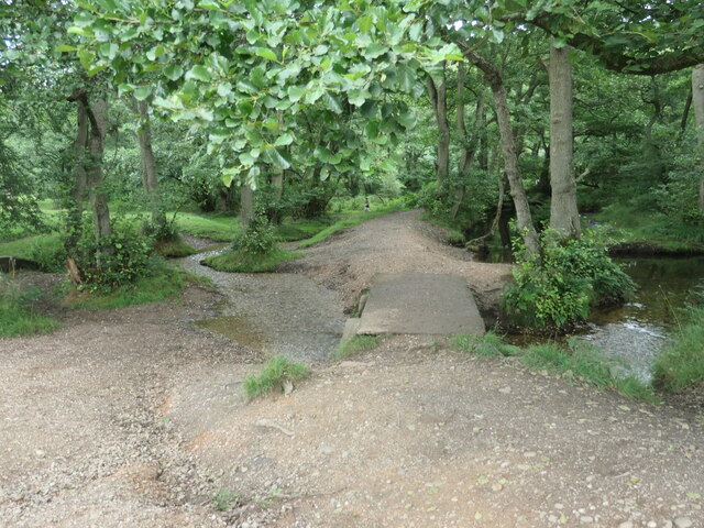
![Sher Brook, looking downstream [locally north] The brook is a civil parish boundary here, between Brocton and Rugeley.](https://s1.geograph.org.uk/geophotos/06/94/91/6949105_1d41f530.jpg)
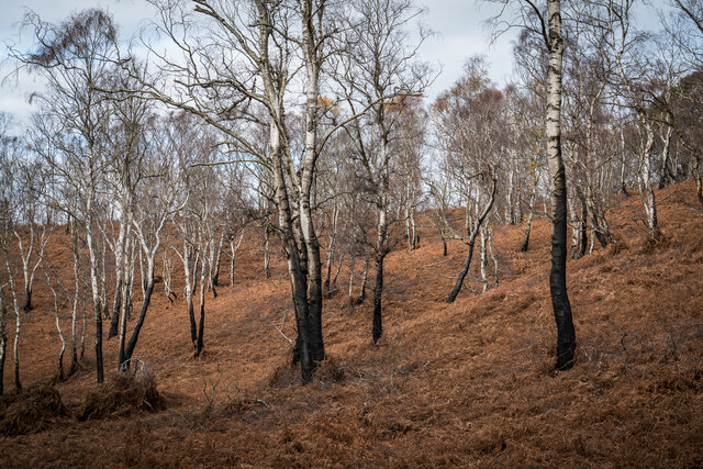
Harts Hill is a prominent hill located in the county of Staffordshire, England. This natural landmark is situated near the town of Biddulph and offers breathtaking views of the surrounding countryside. Rising to a height of around 277 meters (909 feet), Harts Hill is considered one of the highest points in the region, making it a popular destination for hikers and nature enthusiasts.
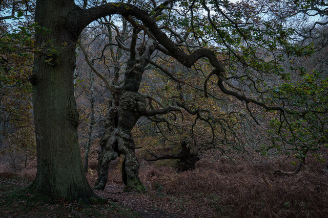
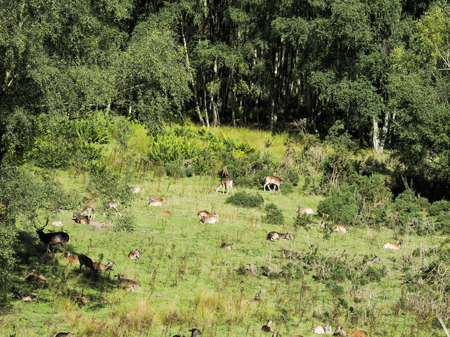
The hill is renowned for its diverse flora and fauna, with various species of birds, mammals, and plants calling it home. Visitors can expect to encounter an array of wildlife, including rabbits, foxes, and various bird species such as pheasants and kestrels. The hill's vegetation is equally impressive, with an assortment of wildflowers and grasses adorning its slopes.
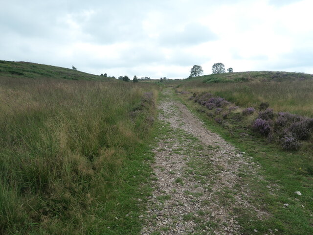
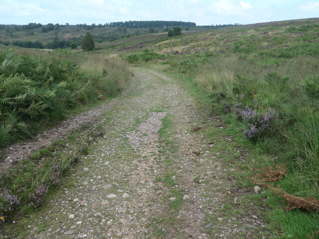
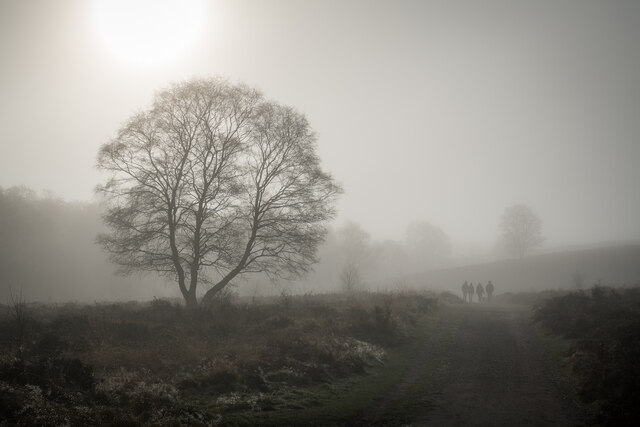
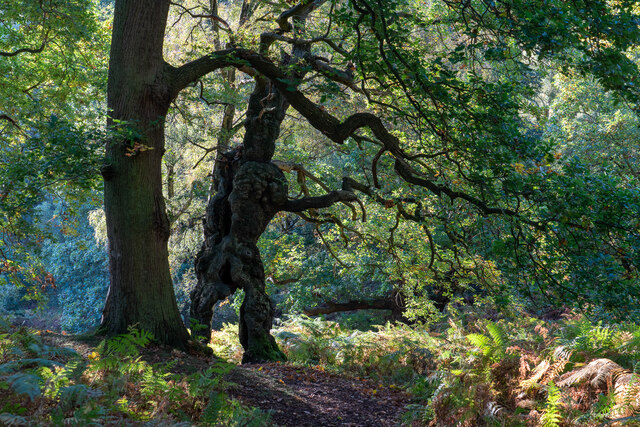
Furthermore, Harts Hill boasts a network of well-maintained footpaths and trails, making it an ideal location for outdoor activities. Whether one seeks a leisurely stroll or a more challenging hike, there are options to suit all abilities. Many visitors choose to explore the hill's trails and take advantage of the stunning views along the way.
In addition to its natural beauty, Harts Hill holds historical significance, with remnants of Iron Age settlements found in the vicinity. Archaeological excavations have unearthed artifacts such as pottery and tools, shedding light on the hill's ancient past.
Overall, Harts Hill in Staffordshire offers a captivating blend of natural beauty, wildlife, and historical interest, making it a must-visit destination for those seeking an enriching outdoor experience.
If you have any feedback on the listing, please let us know in the comments section below.
Harts Hill Images
Images are sourced within 2km of 52.780342/-2.0276365 or Grid Reference SJ9820. Thanks to Geograph Open Source API. All images are credited.


Harts Hill is located at Grid Ref: SJ9820 (Lat: 52.780342, Lng: -2.0276365)
Administrative County: Staffordshire
District: Stafford
Police Authority: Staffordshire
What 3 Words
///scarred.overtones.shrugging. Near Colwich, Staffordshire
Nearby Locations
Related Wikis

Milford, Staffordshire
Milford is a village in the county of Staffordshire, England. It lies at the edge of Cannock Chase, on the A513 road between Stafford and Rugeley. Just...

Milford and Brocton railway station
Milford and Brocton railway station served the villages of Milford and Brocton in Staffordshire, England from 1877 to 1950 on the Trent Valley line....

Shugborough Tunnel
The Shugborough Tunnel is a 777-yard (710 m) railway tunnel on the Trent Valley line running under part of the Shugborough Estate in Colwich, Staffordshire...

Brocton, Staffordshire
Brocton is a village and civil parish in the English county of Staffordshire. It is within the borough of Stafford. The village describes itself as the...

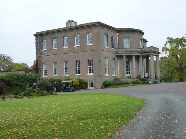
Milford Hall
Milford Hall is a privately owned 18th-century English country house at Milford, near Stafford. It is the family seat of the Levett Haszard family and...
Staffordshire County Museum
Staffordshire County Museum is housed in the Servants' Quarters of Shugborough Hall, Milford, near Stafford, Staffordshire, England. The museum features...

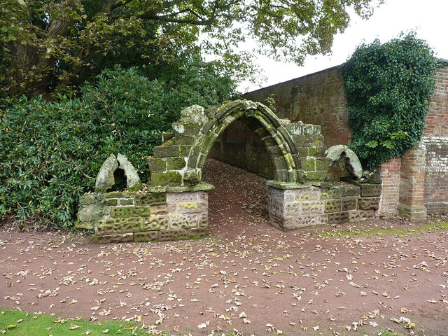
Shugborough Hall
Shugborough Hall is a stately home near Great Haywood, Staffordshire, England. The hall is situated on the edge of Cannock Chase, about 5.8 miles (9.3...

Tixall Wide
Tixall Wide, also known as Tixall Broad or The Broad Water, is a body of water that forms part of the Staffordshire and Worcestershire Canal near Tixall...
Related Videos

Product Preview: On Cloudwander & Cloudtrax Hiking Boots / Shoes | Run and Ride
On Cloudtrax Walking Boot // Designed for both street and mountain peak, this hiking boot is engineered to give you ideal comfort ...

Narrowboat Holidays - Hiring A Canal Boat In The UK | Quest Vlog #24
Ever wanted to hire a canal boat and take a leisurely cruise through the UK countryside? We asked Anglo Welsh, our favourite ...

He Called My Wife A Slag 😳 Hiking & Cooking Chinese Curry At Shugborough Estate 🥾🔥🍛
Welcome back .... In this episode I take you on a hike through the Shugborough Estate in Staffordshire. Along the way, I chat ...

SHUGBOROUGH ESTATE #nationaltrust#walking #explore #shrugburgh #daytrip #estate
The Shugborough Estate is a rich blend of landscape,monuments,gardens,and architecture shaped by travel and adventure.
Nearby Amenities
Located within 500m of 52.780342,-2.0276365Have you been to Harts Hill?
Leave your review of Harts Hill below (or comments, questions and feedback).