Kerdiston

Settlement in Norfolk Broadland

England

Kerdiston

Salle: 'Walkgate Cottage' left
Salle: 'Walkgate Cottage' left Credit: Michael Garlick

The requested URL returned error: 429 Too Many Requests

If you have any feedback on the listing, please let us know in the comments section below.
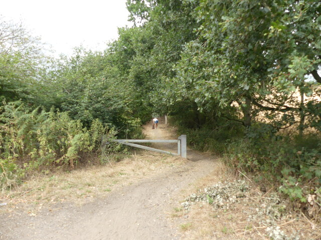
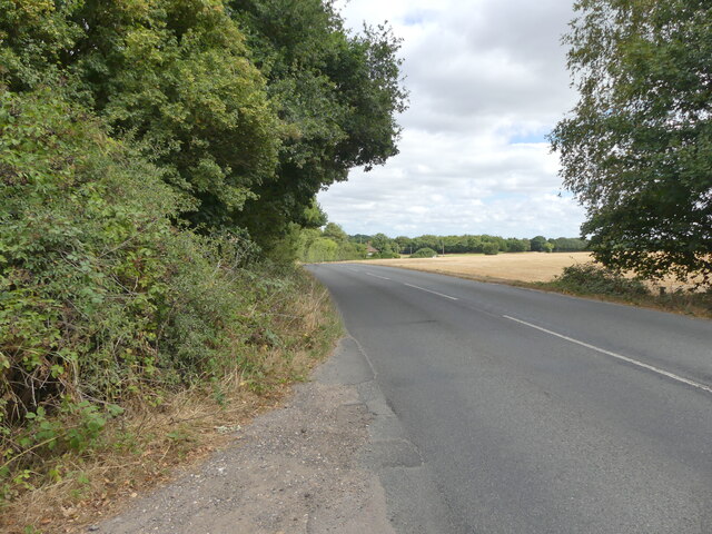
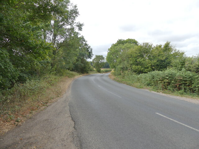
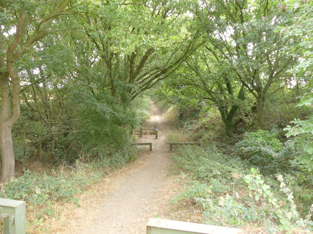
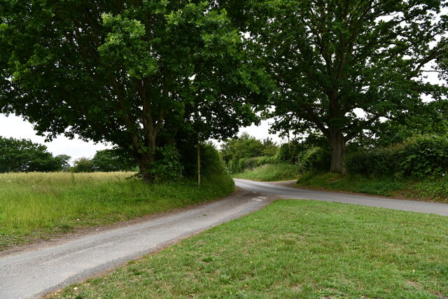
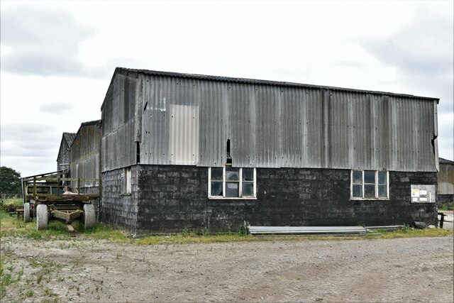
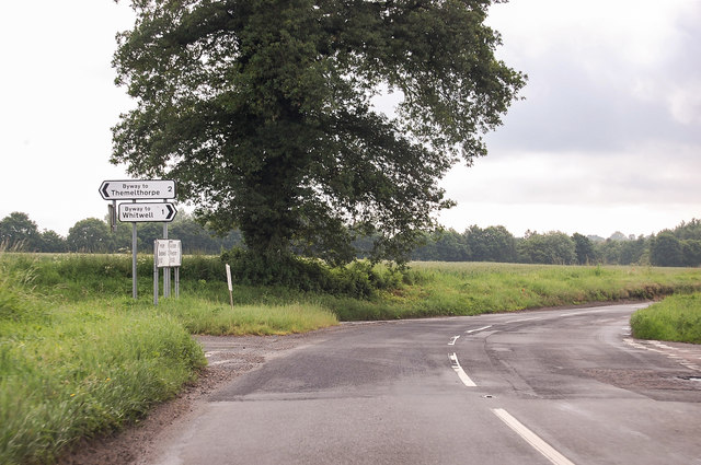
Kerdiston Images

Images are sourced within 2km of 52.776855/1.090575 or Grid Reference TG0824. Thanks to Geograph Open Source API. All images are credited.

Salle: 'Walkgate Cottage' left
Salle: 3 and 4  'Walkgate Cottages' right
Salle: 3 and 4 'Walkgate Cottages' right
Westerly view of Marriott's Way from B1145 <span class="nowrap"><a title="https://en.wikipedia.org/wiki/Marriott%27s_Way" rel="nofollow ugc noopener" href="https://en.wikipedia.org/wiki/Marriott%27s_Way">Link</a><img style="margin-left:2px;" alt="External link" title="External link - shift click to open in new window" src="https://s1.geograph.org.uk/img/external.png" width="10" height="10"/></span>
Westerly view of Marriott's Way from B1145
Nearing Reepham on B1145 <span class="nowrap"><a title="https://en.wikipedia.org/wiki/B1145_road" rel="nofollow ugc noopener" href="https://en.wikipedia.org/wiki/B1145_road">Link</a><img style="margin-left:2px;" alt="External link" title="External link - shift click to open in new window" src="https://s1.geograph.org.uk/img/external.png" width="10" height="10"/></span>
Nearing Reepham on B1145
B1145 in Bawdeswell direction
Marriott's Way looking east from B1145
Kerdiston: Track
Kerdiston: Track
Kerdiston Road
Kerdiston Road
Reepham: Gas marker pole
Kerdiston: Track running from Guestwick Lane
Kerdiston: Kerdiston Road
Kerdiston: Carr's Farm
Kerdiston: Kerdiston Road
Kerdiston: 1-4, Sunny Row
Kerdiston: Forwater Road
B1145 road junctions one mile from Reepham A four-way junction of the road to Reepham. The road to Themelthorpe almost immediately has another junction to Old Lane.
B1145 road junctions one mile from Reepham
A four-way junction of the road to Reepham. The road to Themelthorpe almost immediately has another junction to Old Lane.
Show me another place!

Kerdiston is located at Grid Ref: TG0824 (Lat: 52.776855, Lng: 1.090575)

Administrative County: Norfolk

District: Broadland

Police Authority: Norfolk

What 3 Words

///paddock.cemented.irrigate. Near Reepham, Norfolk

Nearby Locations

Kerdiston

Related Wikis

Pettywell

Pettywell is a hamlet within the a civil parish of Reepham in the English county of Norfolk. The hamlet is 8.3 miles (13.4 km) west south west of Aylsham...

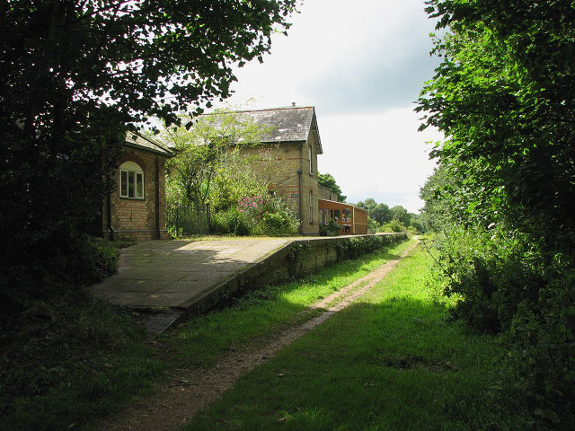
Reepham railway station (Norfolk)

Reepham (Norfolk) was a railway station in Reepham, Norfolk. It was opened in 1882 and closed to passengers in 1952; it finally shut to goods services...

Reepham, Norfolk

Reepham () is a market town and civil parish in the Broadland district of Norfolk, England. Reepham is situated on the B1145 road between the Bure and...

Reepham High School and College

Reepham High School and College is a secondary school and sixth form with academy status located in Reepham, Norfolk. The majority of the students live...

Nearby Amenities

Located within 500m of 52.776855,1.090575
Barrier: stile
Foot: yes
Material: wood
Stile: stepover
Lat/Long: 52.773874/1.0927488
Barrier: stile
Foot: yes
Material: wood
Stile: stepover
Lat/Long: 52.7731206/1.0925093
Turning Circle
Lat/Long: 52.7745092/1.0937159
The data included in this document is from www.openstreetmap.org. The data is made available under ODbL.

Have you been to Kerdiston?

Leave your review of Kerdiston below (or comments, questions and feedback).