Counden Hill
Hill, Mountain in Northumberland
England
Counden Hill

Counden Hill is a prominent hill located in Northumberland, England. It is part of the Pennine Range and stands at an elevation of approximately 628 meters (2,060 feet) above sea level. The hill is situated in the northern part of Northumberland, near the border with Scotland.
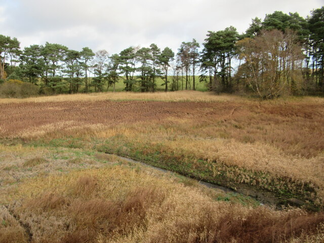
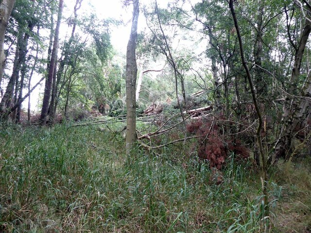
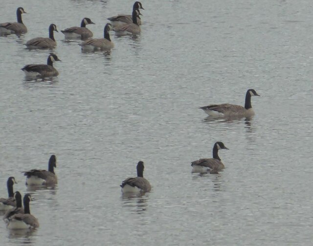
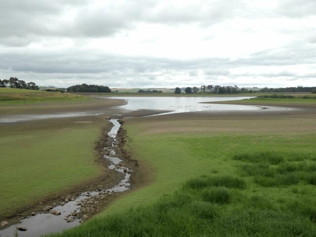
Counden Hill offers breathtaking panoramic views of the surrounding countryside, including the Cheviot Hills to the west and the Northumberland National Park to the south. On a clear day, it is possible to see as far as the North Sea to the east. The hill is known for its rugged and wild beauty, with its slopes covered in heather and grasses, providing habitat for a variety of plant and animal species.
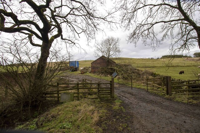
The hill is a popular destination for hikers and nature enthusiasts, who are attracted by the stunning landscapes and the opportunity to explore the Northumberland countryside. There are several walking trails that lead to the summit, offering different levels of difficulty to suit all abilities. The climb to the top is rewarded with magnificent views, making it a favorite spot for photographers and artists.
Counden Hill is also of historical significance, with evidence of ancient settlements and fortifications on its slopes. The hill has been used as a strategic vantage point throughout history, offering a commanding view of the surrounding area. Today, visitors can still see the remnants of these ancient structures, providing a glimpse into the region's past.
Overall, Counden Hill is a remarkable natural feature in Northumberland, offering stunning views, diverse wildlife, and a rich historical heritage. It is a must-visit destination for those seeking to explore the beauty of the English countryside.
If you have any feedback on the listing, please let us know in the comments section below.
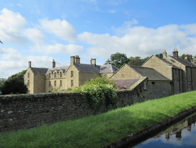
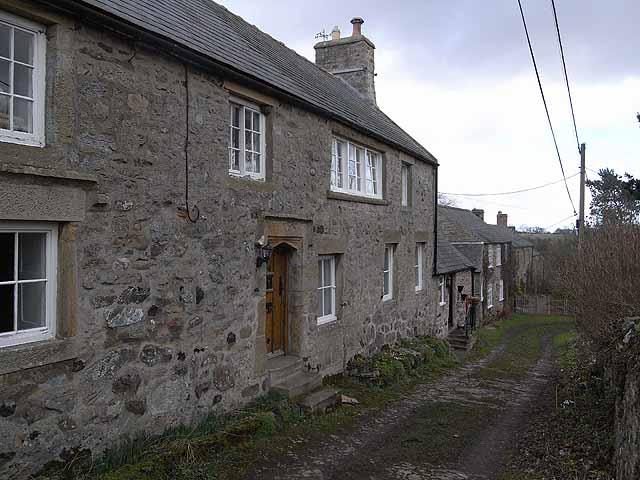
Counden Hill Images
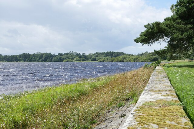
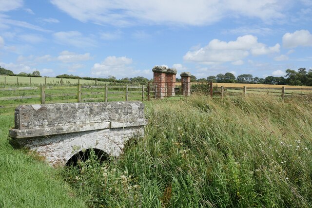
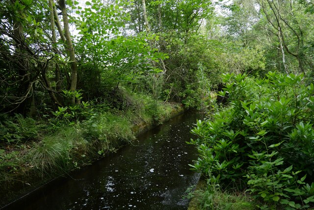
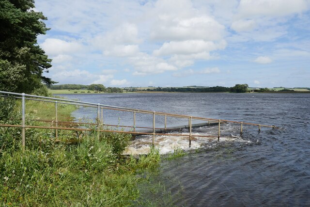
Images are sourced within 2km of 55.089647/-2.024505 or Grid Reference NY9877. Thanks to Geograph Open Source API. All images are credited.
Counden Hill is located at Grid Ref: NY9877 (Lat: 55.089647, Lng: -2.024505)
Unitary Authority: Northumberland
Police Authority: Northumbria
What 3 Words
///violinist.chimp.gazed. Near Birtley, Northumberland
Nearby Locations
Related Wikis

Hallington, Northumberland
Hallington is a hamlet and former civil parish about 9 miles from Hexham, now in the parish of Whittington, in the county of Northumberland, England. In...
Bavington
Bavington is a civil parish in Northumberland, England. The parish includes the villages of Great Bavington, Little Bavington and Thockrington. According...

Bavington Hall
Bavington Hall is a 17th-century privately owned country house at Little Bavington in Northumberland. It is a Grade II* listed building.A tower house...

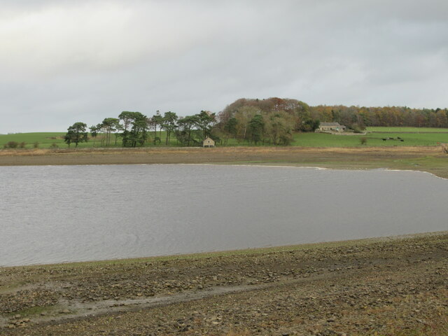
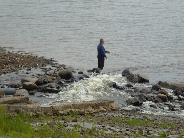
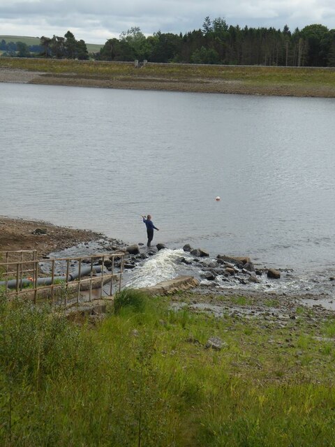
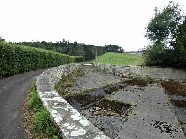
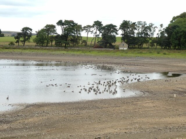
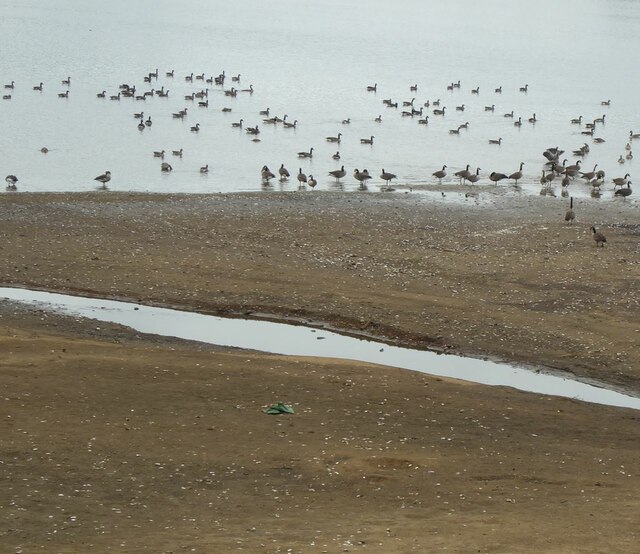
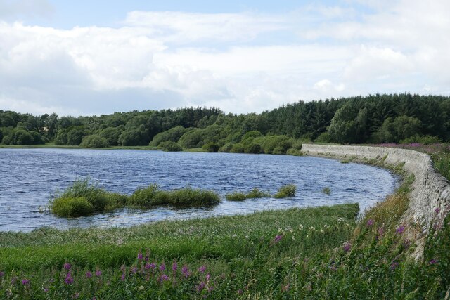
Hallington Reservoirs
Hallington Reservoirs are located near the small village of Colwell, Northumberland, England on the B6342 road off the A68 road, and 7 miles (11 km) north...
Nearby Amenities
Located within 500m of 55.089647,-2.024505Have you been to Counden Hill?
Leave your review of Counden Hill below (or comments, questions and feedback).