Great Hill

Hill, Mountain in Gloucestershire Wychavon

England

Great Hill

Bredon Hill crest path, 13 Gradual descent south-east towards Ashton.
The distinctive outline of Dumbleton/Alderton Hill can be seen clearly as well as the Cotswold crest beyond.
This picture represents the completion of Hectad SO93 by the photographer, ie. a Geograph in every one of the 100 squares.
Bredon Hill crest path, 13 Credit: Jonathan Billinger

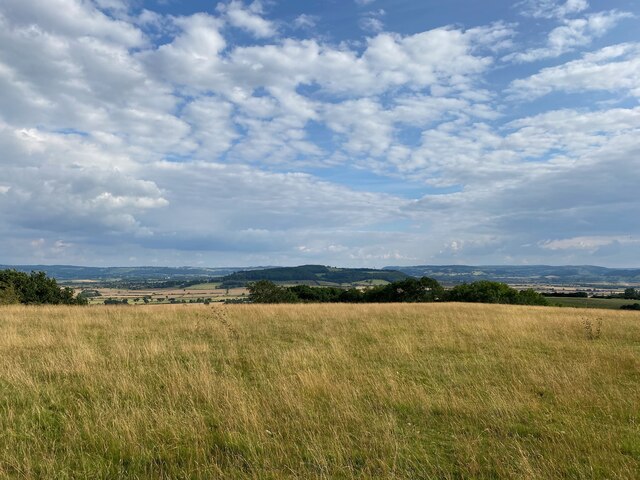
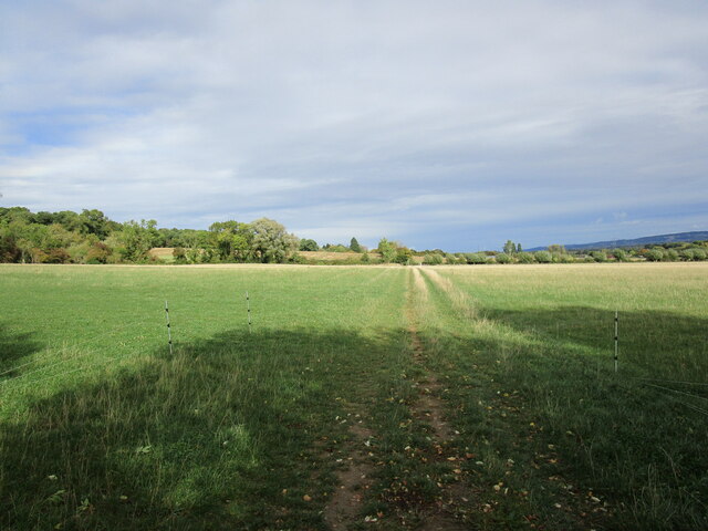
Great Hill is a prominent hill located in the county of Gloucestershire, England. It is situated in the Cotswolds, a designated Area of Outstanding Natural Beauty, and is known for its picturesque landscapes and stunning views. Rising to an elevation of approximately 330 meters (1,083 feet), Great Hill offers panoramic vistas of the surrounding countryside, making it a popular destination for hikers, walkers, and nature enthusiasts.

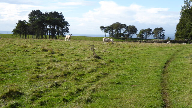
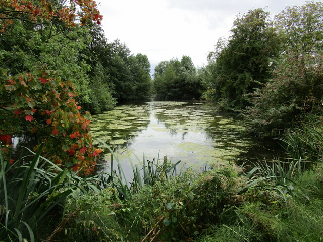
The hill is characterized by its gentle slopes, covered in lush green grass and dotted with wildflowers during the spring and summer months. It is also home to a diverse range of wildlife, including various bird species, butterflies, and small mammals, making it a haven for nature lovers. The hill is surrounded by a patchwork of fields, hedgerows, and woodlands, adding to its natural beauty.

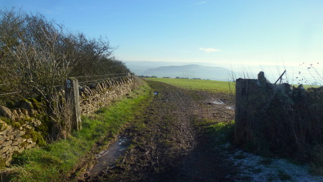
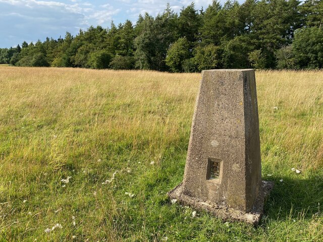
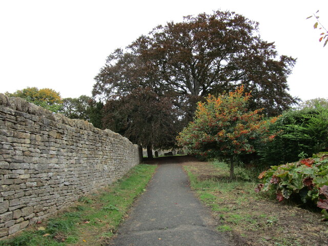
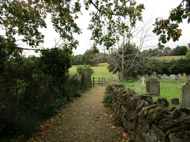
Great Hill is easily accessible, with several footpaths and trails leading to its summit. The most popular route starts from the nearby village of Broadway, passing through charming countryside and woodlands before reaching the top. From the summit, visitors can enjoy uninterrupted views of the Cotswold Hills, the Severn Vale, and even the distant Malvern Hills on a clear day.

Aside from its natural beauty, Great Hill has a rich historical significance. It is believed to have been used as a site for Iron Age settlements in ancient times, as evidenced by the remnants of ancient earthworks found on its slopes.

Overall, Great Hill in Gloucestershire offers visitors a combination of breathtaking scenery, diverse wildlife, and a glimpse into the area's fascinating history, making it a must-visit destination for nature enthusiasts and history buffs alike.

If you have any feedback on the listing, please let us know in the comments section below.
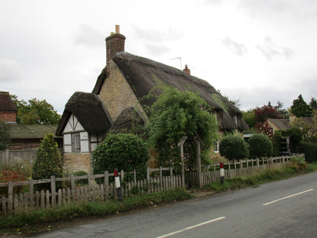
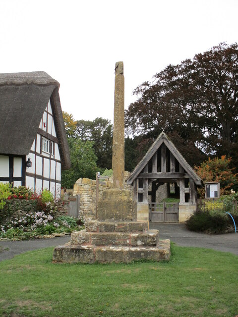
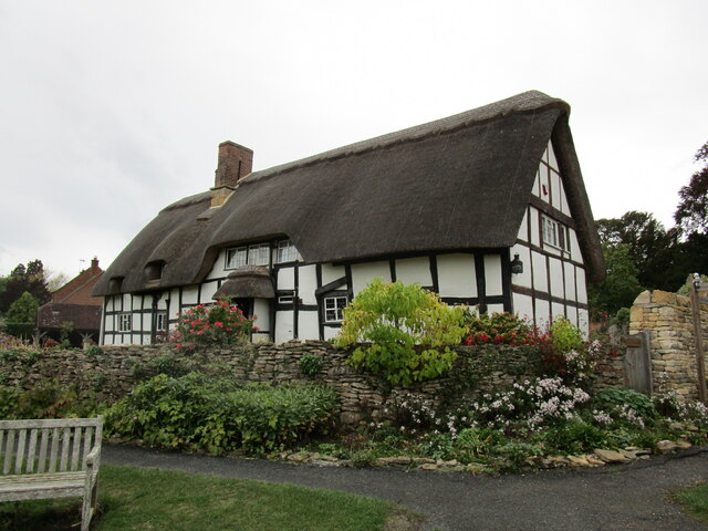
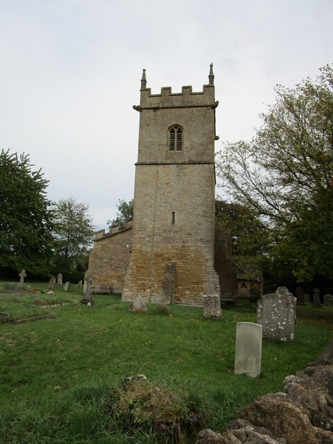
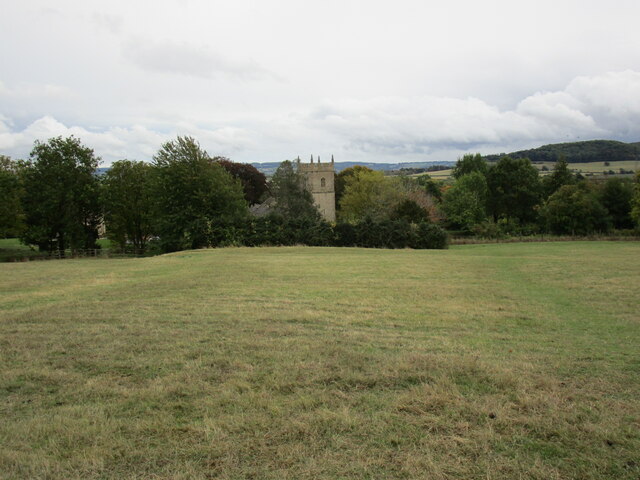
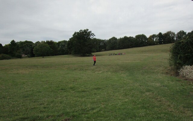
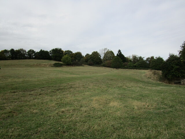
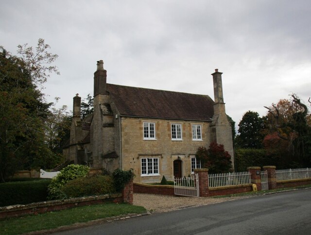
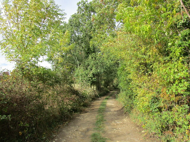
Great Hill Images

Images are sourced within 2km of 52.048273/-2.0259972 or Grid Reference SO9838. Thanks to Geograph Open Source API. All images are credited.

Bredon Hill crest path, 13 Gradual descent south-east towards Ashton.
The distinctive outline of Dumbleton/Alderton Hill can be seen clearly as well as the Cotswold crest beyond.
This picture represents the completion of Hectad SO93 by the photographer, ie. a Geograph in every one of the 100 squares.
Bredon Hill crest path, 13
Gradual descent south-east towards Ashton. The distinctive outline of Dumbleton/Alderton Hill can be seen clearly as well as the Cotswold crest beyond. This picture represents the completion of Hectad SO93 by the photographer, ie. a Geograph in every one of the 100 squares.
Holcomb Nap Trig Point Flush Bracket S3790
View from Holcomb Nap Trig Point Flush Bracket S3790
Sheep and trees on Bredon Hill The trees in the background are in clump giving the impression it has been planted as an estate parkland.
Sheep and trees on Bredon Hill
The trees in the background are in clump giving the impression it has been planted as an estate parkland.
Cross Cottage, Ashton under Hill Dates from the seventeenth century <span class="nowrap"><a title="https://historicengland.org.uk/listing/the-list/list-entry/1349961?section=official-list-entry" rel="nofollow ugc noopener" href="https://historicengland.org.uk/listing/the-list/list-entry/1349961?section=official-list-entry">Link</a><img style="margin-left:2px;" alt="External link" title="External link - shift click to open in new window" src="https://s1.geograph.org.uk/img/external.png" width="10" height="10"/></span>
Cross Cottage, Ashton under Hill
Dates from the seventeenth century LinkExternal link
Footpath to Ashton under Hill
Village cross, Ashton under Hill Dates from the fifteenth century <span class="nowrap"><a title="https://historicengland.org.uk/listing/the-list/list-entry/1167161?section=official-list-entry" rel="nofollow ugc noopener" href="https://historicengland.org.uk/listing/the-list/list-entry/1167161?section=official-list-entry">Link</a><img style="margin-left:2px;" alt="External link" title="External link - shift click to open in new window" src="https://s1.geograph.org.uk/img/external.png" width="10" height="10"/></span>
Village cross, Ashton under Hill
Dates from the fifteenth century LinkExternal link
Walnut Thatch, Ashton under Hill Dates from the sixteenth century <span class="nowrap"><a title="https://historicengland.org.uk/listing/the-list/list-entry/1349960?section=official-list-entry" rel="nofollow ugc noopener" href="https://historicengland.org.uk/listing/the-list/list-entry/1349960?section=official-list-entry">Link</a><img style="margin-left:2px;" alt="External link" title="External link - shift click to open in new window" src="https://s1.geograph.org.uk/img/external.png" width="10" height="10"/></span>
Walnut Thatch, Ashton under Hill
Dates from the sixteenth century LinkExternal link
Footpath to the church, Ashton under Hill
St Barbara's church, Ashton under Hill Has twelfth century origins though most of what is visible in this picture dates from the early sixteenth and seventeenth centuries <span class="nowrap"><a title="https://historicengland.org.uk/listing/the-list/list-entry/1081663?section=official-list-entry" rel="nofollow ugc noopener" href="https://historicengland.org.uk/listing/the-list/list-entry/1081663?section=official-list-entry">Link</a><img style="margin-left:2px;" alt="External link" title="External link - shift click to open in new window" src="https://s1.geograph.org.uk/img/external.png" width="10" height="10"/></span>
St Barbara's church, Ashton under Hill
Has twelfth century origins though most of what is visible in this picture dates from the early sixteenth and seventeenth centuries LinkExternal link
Footpath alongside the churchyard, Ashton under Hill
Reservoir at Ashton under Hill
St Barbara's church, Ashton under Hill The west tower dates from the thirteenth century with an upper stage of about 1500 <span class="nowrap"><a title="https://historicengland.org.uk/listing/the-list/list-entry/1081663?section=official-list-entry" rel="nofollow ugc noopener" href="https://historicengland.org.uk/listing/the-list/list-entry/1081663?section=official-list-entry">Link</a><img style="margin-left:2px;" alt="External link" title="External link - shift click to open in new window" src="https://s1.geograph.org.uk/img/external.png" width="10" height="10"/></span>
St Barbara's church, Ashton under Hill
The west tower dates from the thirteenth century with an upper stage of about 1500 LinkExternal link
View over Ashton under Hill St Barbara's church in the centre of the picture.
View over Ashton under Hill
St Barbara's church in the centre of the picture.
Here they come! Children from Ashton under Hill First School about to race down the hill above the church. Some made spectacular dives and are clearly training to be professional footballers!
Here they come!
Children from Ashton under Hill First School about to race down the hill above the church. Some made spectacular dives and are clearly training to be professional footballers!
Grass field, Ashton under Hill
Middle Farmhouse, Ashton under Hill A later frontage to a seventeenth century house (visible on the left) <span class="nowrap"><a title="https://historicengland.org.uk/listing/the-list/list-entry/1081665?section=official-list-entry" rel="nofollow ugc noopener" href="https://historicengland.org.uk/listing/the-list/list-entry/1081665?section=official-list-entry">Link</a><img style="margin-left:2px;" alt="External link" title="External link - shift click to open in new window" src="https://s1.geograph.org.uk/img/external.png" width="10" height="10"/></span>
Middle Farmhouse, Ashton under Hill
A later frontage to a seventeenth century house (visible on the left) LinkExternal link
Footpath at Grafton
Footpath at Grafton
Show me another place!

Great Hill is located at Grid Ref: SO9838 (Lat: 52.048273, Lng: -2.0259972)

Administrative County: Worcestershire

District: Wychavon

Police Authority: West Mercia

What 3 Words

///basket.ritual.unearthly. Near Eckington, Worcestershire

Nearby Locations

Great Hill Beckford Hill

Related Wikis

Ashton under Hill

Ashton under Hill is a village and civil parish in the Wychavon district of Worcestershire in England. It is situated at the foot of Bredon Hill. According...

Kersoe

Kersoe is a hamlet in Worcestershire, England. It is at the foot of Bredon Hill an area of outstanding natural beauty.

Elmley Castle (castle)

Elmley Castle was a late 11th-century earthwork and timber castle which received stone additions in the 12th and possibly 13th centuries, located 0.5 miles...

Grafton, Worcestershire

Grafton is a hamlet in Worcestershire, England, situated between the villages of Beckford and Ashton under Hill, south-east of Bredon Hill. The name Grafton...

Ashton-under-Hill railway station

Ashton-under-Hill railway station was a station on the Midland Railway between Great Malvern and Evesham. It served Ashton under Hill in Worcestershire...

Elmley Castle

Elmley Castle is a village and civil parish in Worcestershire, in England, United Kingdom. It is located on the north side of Bredon Hill 3 miles south...

Conderton

Conderton is a small hamlet in the Wychavon district of Worcestershire, England. == Toponymy == The name Conderton is derived from the Old English Cantware...

Overbury

Overbury is a village and civil parish in Worcestershire, England, midway between Evesham and Tewkesbury south of Bredon Hill. The manor of Overbury was...

Have you been to Great Hill?

Leave your review of Great Hill below (or comments, questions and feedback).