Snokoe Hill
Hill, Mountain in Northumberland
England
Snokoe Hill
Snokoe Hill is a prominent geographical feature located in the county of Northumberland, in the northeast of England. Rising to an elevation of approximately 250 meters (820 feet), it is classified as a hill rather than a mountain. The hill is situated near the village of Snokoe, from which it derives its name.
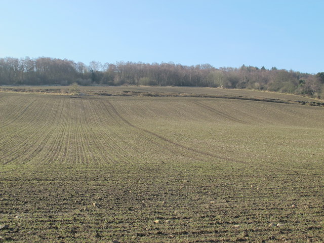
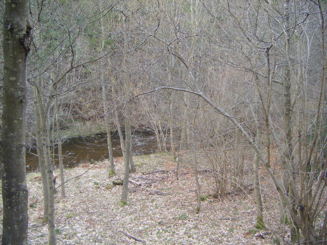
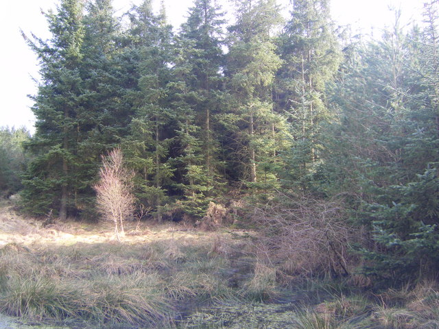
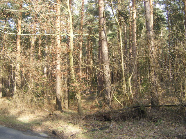
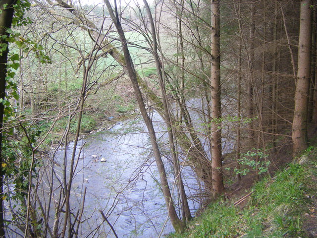
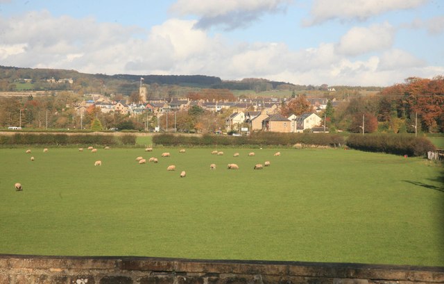
Snokoe Hill is characterized by its distinctive shape and stunning panoramic views of the surrounding countryside. The summit offers expansive vistas of rolling green fields, dense woodlands, and picturesque valleys. On clear days, it is even possible to catch glimpses of the North Sea shimmering in the distance.
The hill is a popular destination for outdoor enthusiasts, hikers, and nature lovers who are drawn to its tranquil and unspoiled surroundings. Several footpaths and trails traverse the landscape, providing visitors with opportunities to explore and appreciate the area's natural beauty. The pathways range in difficulty, catering to both casual strollers and more experienced walkers.
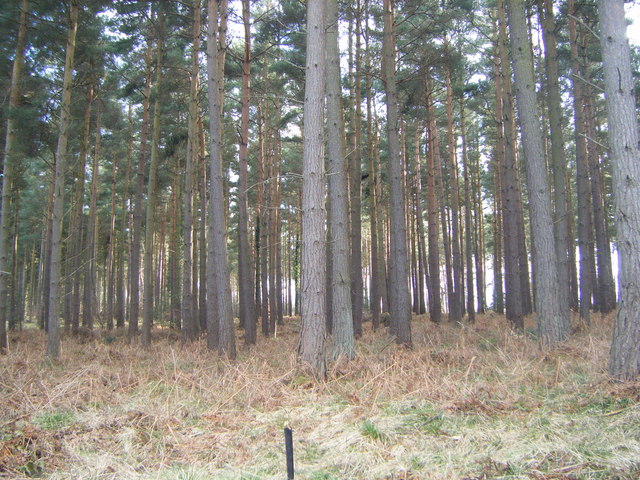
The hill is also home to a diverse array of flora and fauna. The slopes are blanketed with heather, gorse, and wildflowers, which add vibrant splashes of color to the landscape. Birdwatchers may be lucky enough to spot species such as red grouse, skylarks, and kestrels soaring through the skies.
Overall, Snokoe Hill offers a peaceful retreat from the hustle and bustle of everyday life, providing visitors with a chance to connect with nature and enjoy breathtaking views of the Northumberland countryside.
If you have any feedback on the listing, please let us know in the comments section below.
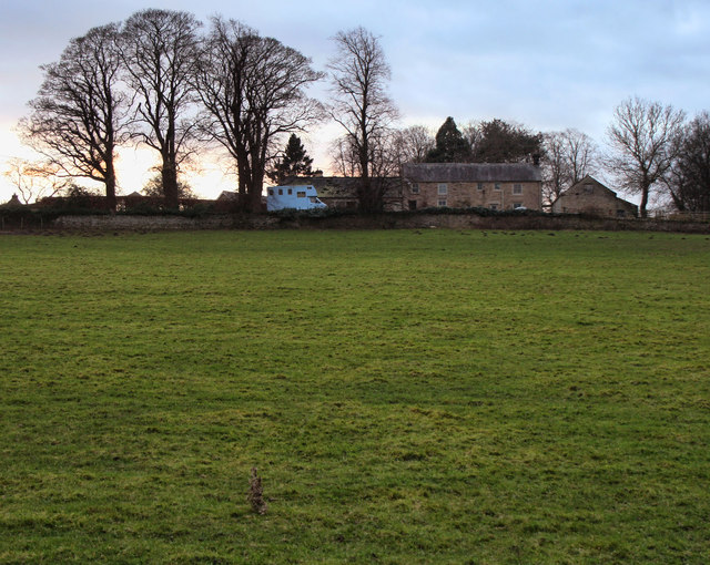
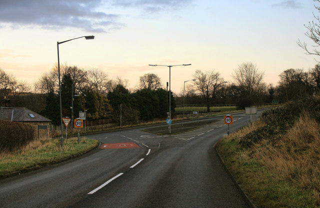
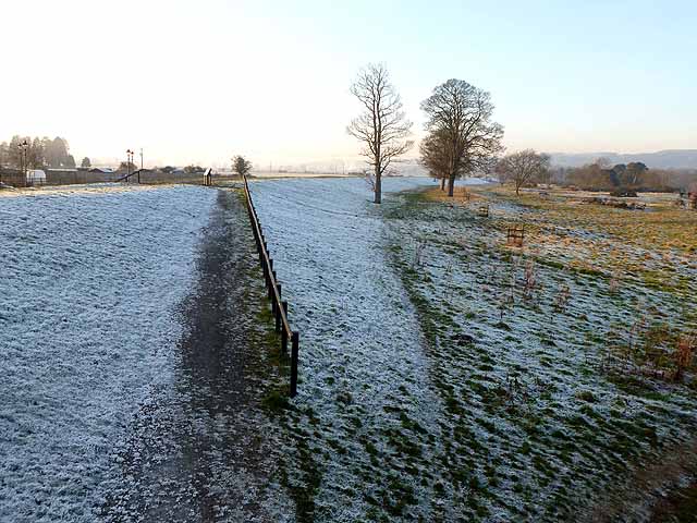
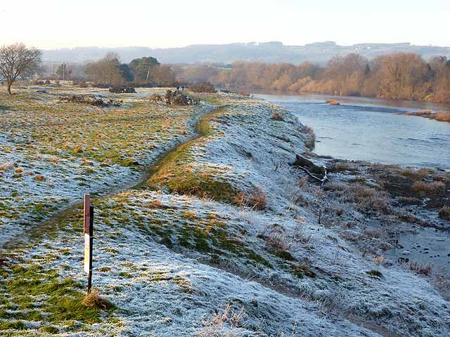
Snokoe Hill Images
Images are sourced within 2km of 54.956713/-2.0322309 or Grid Reference NY9862. Thanks to Geograph Open Source API. All images are credited.
Snokoe Hill is located at Grid Ref: NY9862 (Lat: 54.956713, Lng: -2.0322309)
Unitary Authority: Northumberland
Police Authority: Northumbria
What 3 Words
///engages.subplot.retrial. Near Corbridge, Northumberland
Nearby Locations
Related Wikis

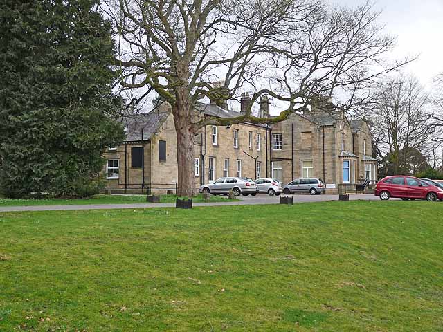
Cambian Dilston College
Cambian Dilston College is a private further education college for those with special educational needs. It is located at Dilston Hall in Corbridge in...
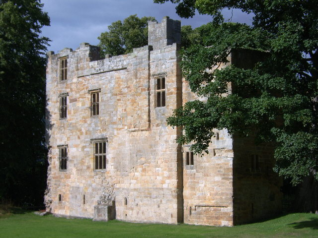
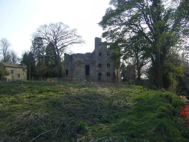
Dilston Castle
Dilston Castle is an unglazed 15th-century uninhabited tower house (and inactive Catholic chapel built for one family's services) at Dilston in the parish...

Corbridge railway station
Corbridge is a railway station on the Tyne Valley Line, which runs between Newcastle and Carlisle via Hexham. The station, situated 19 miles 15 chains...

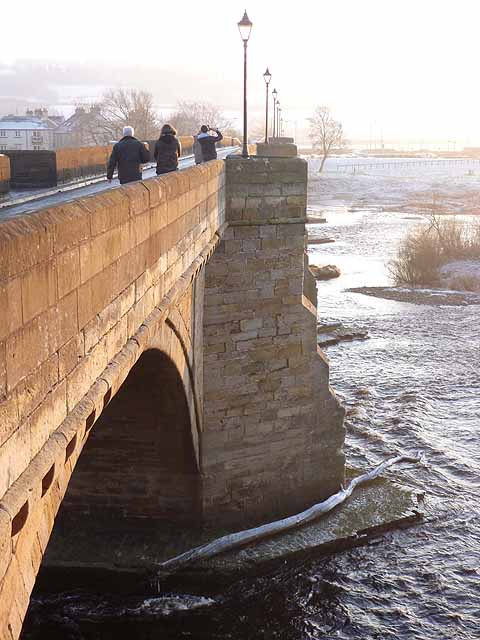
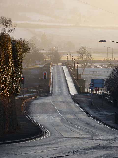
Corbridge Bridge
Corbridge Bridge is a 17th-century stone bridge across the River Tyne at Corbridge, Northumberland, England. The bridge used to carry the A68 road over...

Devil's Water
Devil's Water is a narrow, powerful river in Northumberland, England fed by many streams. A right-bank firmly north-flowing tributary of the Tyne, it ends...

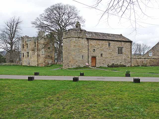
Corbridge Vicar's Pele
Corbridge Vicar's Pele is a pele tower in the village of Corbridge, Northumberland, England. It was a three-storey defensive pele tower, with one room...
Battle of Corbridge
The Battle of Corbridge took place on the banks of the River Tyne near the village of Corbridge in Northumberland in the year 918. The battle was referenced...

Corbridge Town Hall
Corbridge Town Hall is a municipal building in Princes Street in Corbridge, Northumberland, England. The building, which is now in commercial use, is a...
Nearby Amenities
Located within 500m of 54.956713,-2.0322309Have you been to Snokoe Hill?
Leave your review of Snokoe Hill below (or comments, questions and feedback).