Round Hill
Hill, Mountain in Yorkshire
England
Round Hill

Round Hill is a prominent hill located in the county of Yorkshire, England. Standing at an impressive height of 1,449 feet (442 meters), it is considered the highest peak in the region and is classified as a mountain. The hill is situated within the North York Moors National Park, an area renowned for its picturesque landscapes and diverse wildlife.
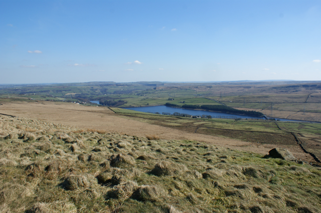
Round Hill is characterized by its distinctive rounded shape, which is believed to have been formed by glacial action during the last Ice Age. Its summit offers breathtaking panoramic views of the surrounding countryside, including the neighboring hills and valleys. On a clear day, visitors can even spot landmarks as far as the North Sea.
The area around Round Hill is rich in natural beauty, featuring lush vegetation, heather moorland, and scattered trees. It is also home to various plant species, such as bilberry and crowberry, which thrive in the acidic soil. The hill is a haven for wildlife enthusiasts, as it provides habitats for a wide range of animals, including birds of prey, mountain hares, and even the occasional red deer.
Round Hill is a popular destination for hikers and outdoor enthusiasts, who can explore the numerous footpaths and trails that crisscross the area. The hill offers a challenging yet rewarding climb, attracting both experienced mountaineers and casual walkers. It is often used as a starting point for longer hikes, allowing visitors to fully immerse themselves in the natural beauty of the North York Moors.
Overall, Round Hill stands as a magnificent natural landmark in Yorkshire, offering visitors a chance to connect with the stunning landscapes and diverse wildlife of the region.
If you have any feedback on the listing, please let us know in the comments section below.
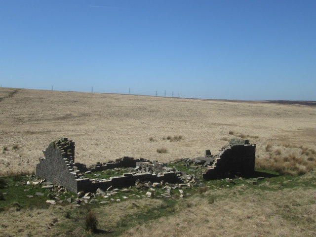
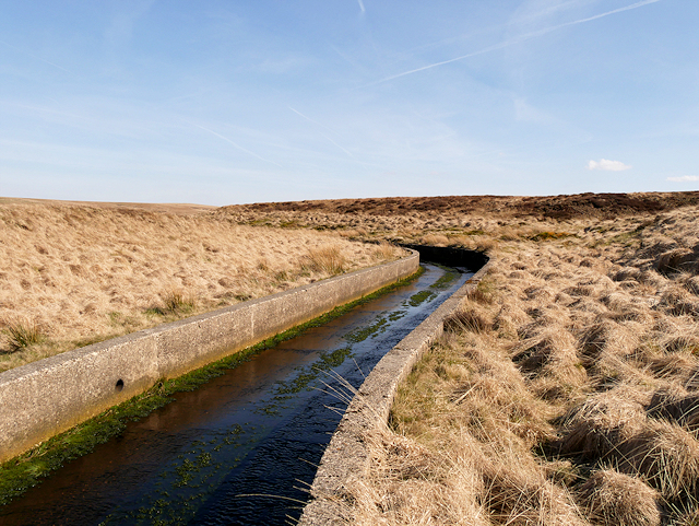
Round Hill Images
Images are sourced within 2km of 53.672832/-2.0313408 or Grid Reference SD9819. Thanks to Geograph Open Source API. All images are credited.


Round Hill is located at Grid Ref: SD9819 (Lat: 53.672832, Lng: -2.0313408)
Division: West Riding
Unitary Authority: Calderdale
Police Authority: West Yorkshire
What 3 Words
///pampering.divider.shack. Near Walsden, West Yorkshire
Nearby Locations
Related Wikis

Blackstone Edge Reservoir
Blackstone Edge Reservoir is a reservoir in the Metropolitan Borough of Rochdale, Greater Manchester, England. It is close to Blackstone Edge, from which...
Baitings Reservoir
Baitings Reservoir is a large water supply reservoir operated by Yorkshire Water close to Ripponden in the West Yorkshire Pennines, England. It lies in...

Blackstone Edge
Blackstone Edge ( BLAK-stən) is a gritstone escarpment at 472 metres (1,549 ft) above sea level in the Pennine hills surrounded by moorland on the boundary...

Summit Tunnel fire
The Summit Tunnel fire occurred on 20 December 1984, when a dangerous goods train caught fire while passing through the Summit Tunnel on the railway line...
Nearby Amenities
Located within 500m of 53.672832,-2.0313408Have you been to Round Hill?
Leave your review of Round Hill below (or comments, questions and feedback).