Gorse Hill

Hill, Mountain in Worcestershire Bromsgrove

England

Gorse Hill

Catshill A footpath leading from Catshill village towards the M42
Catshill Credit: Chris McMillan

Gorse Hill is a prominent hill located in Worcestershire, England. Standing at a height of approximately 178 meters (584 feet), it is a notable landmark in the region. Situated near the town of Malvern, Gorse Hill is part of the Malvern Hills range, which is famous for its scenic beauty and rich geological history.

The hill gets its name from the abundance of gorse bushes that cover its slopes. Gorse is a thorny evergreen shrub known for its vibrant yellow flowers, which bloom from late winter to early spring, creating a stunning visual display on Gorse Hill. The area is also home to a variety of other flora and fauna, including heathland plants, butterflies, and birds.

Gorse Hill offers breathtaking panoramic views of the surrounding countryside, making it a popular destination for hikers, nature enthusiasts, and photographers. Several footpaths and trails traverse the hill, providing opportunities for leisurely walks or more challenging hikes.

In addition to its natural beauty, Gorse Hill holds historical significance. It is believed to have been a site of Iron Age occupation, with evidence of ancient settlements and burial mounds found in the area. The hill also played a role in the defense of nearby settlements during various periods of history.

Overall, Gorse Hill in Worcestershire is a picturesque and historically significant hill that attracts visitors with its natural beauty, diverse wildlife, and stunning views. It offers a peaceful retreat for those seeking tranquility amidst nature and an opportunity to delve into the region's rich past.

If you have any feedback on the listing, please let us know in the comments section below.
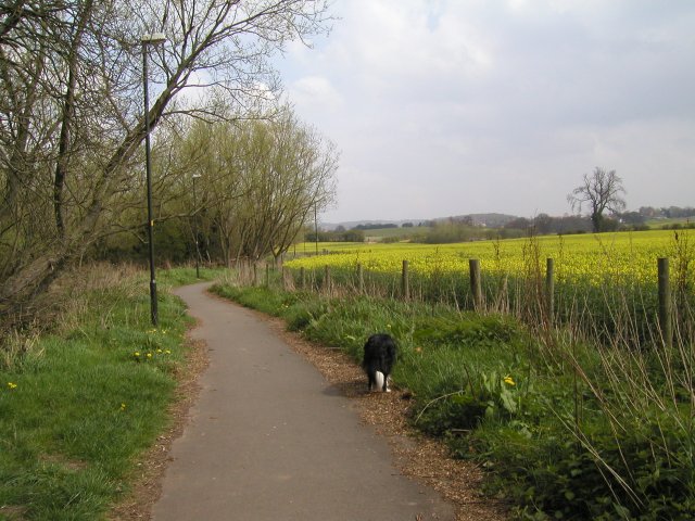
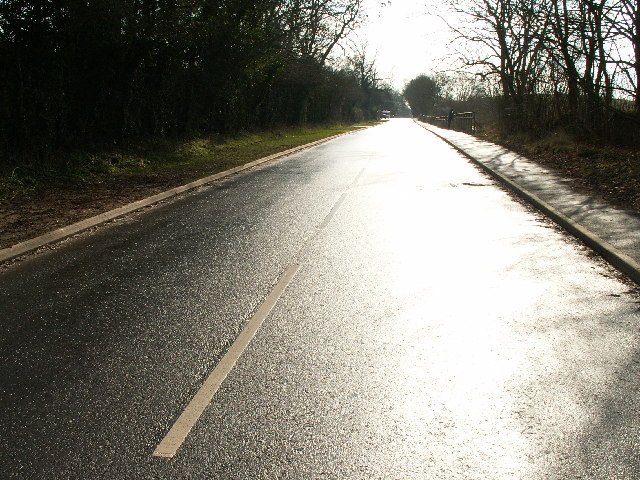
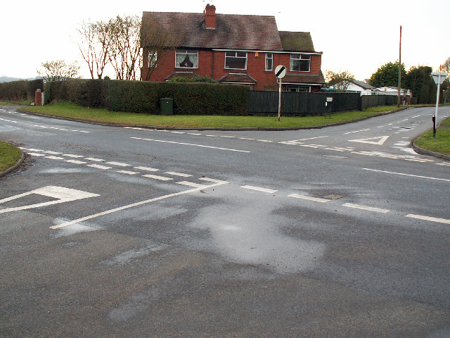
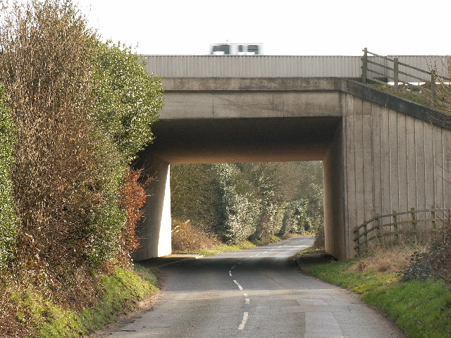
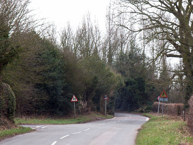
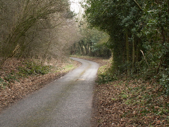
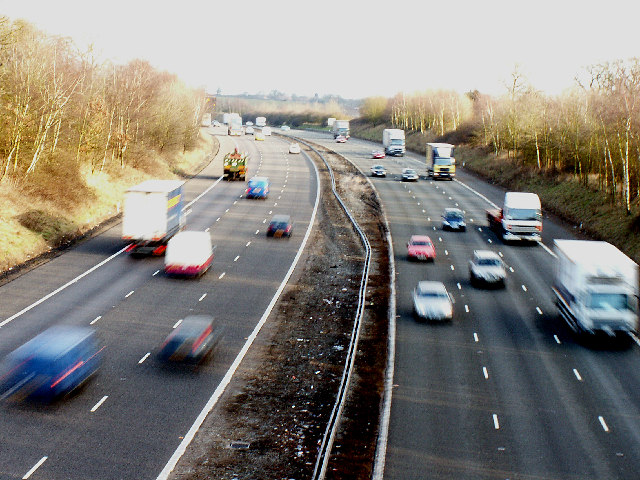
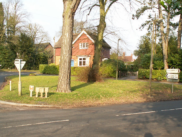
Gorse Hill Images

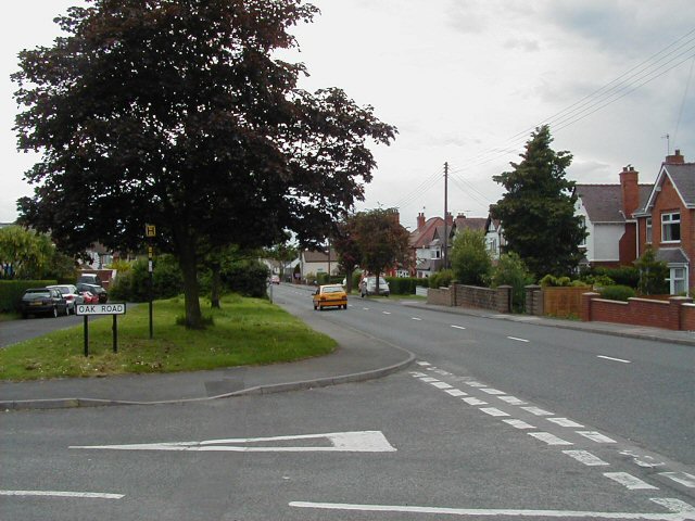
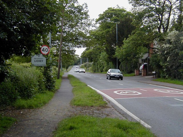
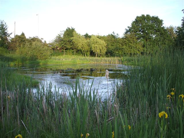
Images are sourced within 2km of 52.363267/-2.0305891 or Grid Reference SO9873. Thanks to Geograph Open Source API. All images are credited.

Catshill A footpath leading from Catshill village towards the M42
Catshill
A footpath leading from Catshill village towards the M42
Birmingham Road, Lydiate Ash This road was formerly the A38 - however this section has been bypassed as the A38 now runs via junction 4 of the M5, several hundred metres west. Birmingham, Road is now little more than a quiet country lane, albeit a very wide, straight and well surfaced one.
Birmingham Road, Lydiate Ash
This road was formerly the A38 - however this section has been bypassed as the A38 now runs via junction 4 of the M5, several hundred metres west. Birmingham, Road is now little more than a quiet country lane, albeit a very wide, straight and well surfaced one.
Marlbrook Tip Photo taken from Marlbrook Lane. The owners of this former landfill site have plans to restore the area, and develop and nine hole golf course.
Marlbrook Tip
Photo taken from Marlbrook Lane. The owners of this former landfill site have plans to restore the area, and develop and nine hole golf course.
Road junction, Upper Marlbrook Junction of Linehouse Lane, Staple Flat and Lickey Rock, looking south.
Road junction, Upper Marlbrook
Junction of Linehouse Lane, Staple Flat and Lickey Rock, looking south.
Motorway bridge over Littleheath Lane Carrying the M42. This bridge is at the south west corner of the square.
Motorway bridge over Littleheath Lane
Carrying the M42. This bridge is at the south west corner of the square.
Road junction east of Lickey End The junction of Littleheath Lane with Lower Shepley Lane, looking south west.
Road junction east of Lickey End
The junction of Littleheath Lane with Lower Shepley Lane, looking south west.
Dale Lane, Apes Dale Looking east from just past Upper Shepley Farm. The peace of this otherwise quiet country lane is disturbed by the M42 which runs roughly parallel 200m further north.
Dale Lane, Apes Dale
Looking east from just past Upper Shepley Farm. The peace of this otherwise quiet country lane is disturbed by the M42 which runs roughly parallel 200m further north.
M42 between junctions 1-2 Photo taken from the Linthurst Road bridge, looking east.
M42 between junctions 1-2
Photo taken from the Linthurst Road bridge, looking east.
Road junction  near Barnt Green Junction of Fiery Hill Road, Shepley Road, Tawtling Road and Linthurst Road (behind the camera). This area of Birmingham's 'stockbroker belt' is dominated large detached houses, private roads and electric security gates.
Road junction near Barnt Green
Junction of Fiery Hill Road, Shepley Road, Tawtling Road and Linthurst Road (behind the camera). This area of Birmingham's 'stockbroker belt' is dominated large detached houses, private roads and electric security gates.
Upper Catshill Urban scene at the junction of Oak Road with the B4186.
Upper Catshill
Urban scene at the junction of Oak Road with the B4186.
Old Birmingham Road B4096, a rather busy road for a Sunday afternoon, but it does give access to the Lickey Hills and an exit from the SW Birmingham conurbation.
Old Birmingham Road
B4096, a rather busy road for a Sunday afternoon, but it does give access to the Lickey Hills and an exit from the SW Birmingham conurbation.
Track through Pinfields Wood This wood forms part of the Lickey Hills Country Park, managed by Birmingham City Council
Track through Pinfields Wood
This wood forms part of the Lickey Hills Country Park, managed by Birmingham City Council
Hilton Hotel, Upper Catshill, near Bromsgrove This large, modern hotel is perhaps too new to have been named on the OS map yet...
Hilton Hotel, Upper Catshill, near Bromsgrove
This large, modern hotel is perhaps too new to have been named on the OS map yet...
Bromsgrove A pond beside the Holiday Inn
Bromsgrove
A pond beside the Holiday Inn
St John's Church Located at Marlbrook
St John's Church
Located at Marlbrook
Braces Lane Looking north-east
Braces Lane
Looking north-east
The Obelisk on Monument Lane
Lickey Holy Trinity Church at the junction with Rose Hill and Monument Lane
Show me another place!

Gorse Hill is located at Grid Ref: SO9873 (Lat: 52.363267, Lng: -2.0305891)

Administrative County: Worcestershire

District: Bromsgrove

Police Authority: West Mercia

What 3 Words

///swear.words.movie. Near Barnt Green, Worcestershire

Related Wikis

Lickey Grange

Lickey Grange is a Victorian house and estate in the village of Lickey, Bromsgrove District, Worcestershire, near Birmingham, England. Car manufacturer...

Marlbrook, Worcestershire

Marlbrook is a village in Worcestershire, England. It is located 3 miles north east of Bromsgrove, between Upper Catshill from which it is separated by...

1997 M42 motorway crash

On 10 March 1997 a multiple-vehicle collision occurred on the M42 motorway near Bromsgrove, Worcestershire, in central England. Three people were killed...

Apes Dale

Apes Dale is a hamlet situated in the parish of Lickey and Blackwell, in the Bromsgrove district of Worcestershire, England. == References ==

Nearby Amenities

Located within 500m of 52.363267,-2.0305891
Bus Stop
Bromsgrove- Old Birmingham Road
Bus: yes
Naptan AtcoCode: 2000G501827
Naptan Bearing: E
Naptan CommonName: Bromsgrove- Old Birmingham Road
Naptan Indicator: Adj
Naptan Landmark: Marlbrook lane
Naptan NaptanCode: wocdamjg
Naptan PlusbusZoneRef: BRMSGRV
Naptan Street: Old Birmingham Road
Naptan Verified: no
Public Transport: platform
Source: naptan_import
Lat/Long: 52.3663751/-2.0356887
Bus Stop
Marlbrook Lane
Bus: yes
Naptan AtcoCode: 2000G501828
Naptan Bearing: W
Naptan CommonName: Bromsgrove- Old Birmingham Road
Naptan Indicator: opp
Naptan Landmark: Marlbrook Lane
Naptan NaptanCode: wocdamjm
Naptan PlusbusZoneRef: BRMSGRV
Naptan Street: Marlbrook Lane
Naptan Verified: no
Public Transport: platform
Source: naptan_import
Lat/Long: 52.3662584/-2.0352627
Bus Stop
Lickey Rock
Bus: yes
Naptan AtcoCode: 2000G501829
Naptan Bearing: W
Naptan CommonName: Bromsgrove- Old Birmingham Road
Naptan Indicator: Adj
Naptan Landmark: Lickey Rock
Naptan NaptanCode: wocdamjp
Naptan PlusbusZoneRef: BRMSGRV
Naptan Street: Lickey Rock
Naptan Verified: no
Public Transport: platform
Source: naptan_import
Lat/Long: 52.3666698/-2.0320379
Bus Stop
Bromsgrove- Old Birmingham Road
Bus: yes
Naptan AtcoCode: 2000G501830
Naptan Bearing: E
Naptan CommonName: Bromsgrove- Old Birmingham Road
Naptan Indicator: Adj
Naptan Landmark: Middle House Drive
Naptan NaptanCode: wocdamjt
Naptan PlusbusZoneRef: BRMSGRV
Naptan Street: Middle House Drive
Naptan Verified: no
Public Transport: platform
Source: naptan_import
Lat/Long: 52.3667267/-2.0325754
Gorse Hill
Natural: peak
Lat/Long: 52.3638341/-2.0303111
Post Box
Collection Times: Mo-Fr 09:00; Sa 07:00
Operator: Royal Mail
Operator Wikidata: Q638098
Post Box Type: pillar
Ref: B60 720D
Royal Cypher: GVIR
Royal Cypher Wikidata: Q33102169
Source: survey
Lat/Long: 52.366381/-2.0343497
Public Bookcase
Book Exchange / Defibrillator
Defibrillator
Booth: K6
Colour: red
Covered: booth
Defibrillator Location: Iside red phone box, Old Birmingham Road, Catshill
Disused Amenity: telephone
Emergency: defibrillator
Man Made: telephone_box
Public Bookcase Type: phone_box
Ref GB The Circuit: 84FFA11E-ABC0-4DFB-A2DC-4557247B6AF6
Lat/Long: 52.3663778/-2.0344194
Generator Method: photovoltaic
Generator Output Electricity: yes
Generator Source: solar
Generator Type: solar_photovoltaic_panel
Location: roof
Power: generator
Lat/Long: 52.3673981/-2.0308372
Generator Method: photovoltaic
Generator Output Electricity: yes
Generator Source: solar
Generator Type: solar_photovoltaic_panel
Location: roof
Power: generator
Lat/Long: 52.363582/-2.0359093
Generator Method: photovoltaic
Generator Output Electricity: yes
Generator Source: solar
Generator Type: solar_photovoltaic_panel
Location: roof
Power: generator
Lat/Long: 52.3673604/-2.0329401
Power: substation
Ref Wpd: 721345
Source: wpd_opendata
Lat/Long: 52.3668331/-2.0350175
The data included in this document is from www.openstreetmap.org. The data is made available under ODbL.

Have you been to Gorse Hill?

Leave your review of Gorse Hill below (or comments, questions and feedback).