Brunt Hill
Hill, Mountain in Yorkshire Richmondshire
England
Brunt Hill
Brunt Hill, located in the picturesque region of Yorkshire, England, is a prominent natural feature known for its scenic beauty and historical significance. Standing at an elevation of approximately 450 meters, it is classified as a hill rather than a mountain.
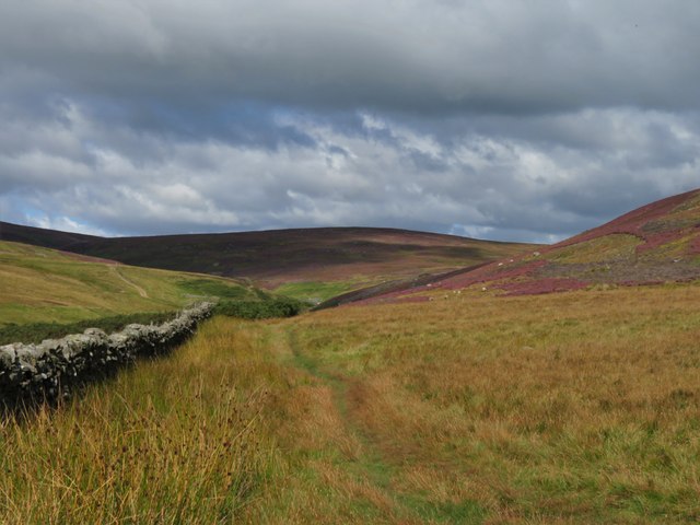
The hill is situated in the North York Moors National Park, a protected area renowned for its diverse wildlife, stunning landscapes, and rich cultural heritage. Brunt Hill offers visitors breathtaking panoramic views of the surrounding countryside, with its rolling green hills, dense woodlands, and meandering rivers. On clear days, it is even possible to catch a glimpse of the North Sea shimmering in the distance.
Aside from its natural beauty, Brunt Hill holds historical importance. It is said to have been a strategic vantage point during the Roman occupation of Britain, providing commanding views of the surrounding area. Additionally, remnants of Iron Age settlements have been discovered in the vicinity, attesting to the long-standing human presence in this area.
For outdoor enthusiasts, Brunt Hill offers excellent opportunities for hiking, walking, and birdwatching. Several well-marked trails crisscross the hill, allowing visitors to explore its diverse flora and fauna. The hill is also home to a variety of bird species, including kestrels, peregrine falcons, and barn owls, making it a popular spot for birdwatchers.
Overall, Brunt Hill stands as a testament to the natural beauty and historical significance of the Yorkshire region. Its stunning vistas, rich history, and abundant wildlife make it a must-visit destination for nature lovers and history enthusiasts alike.
If you have any feedback on the listing, please let us know in the comments section below.
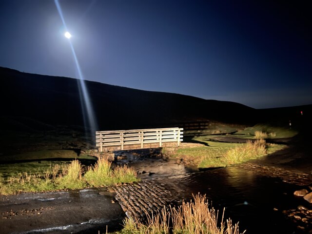
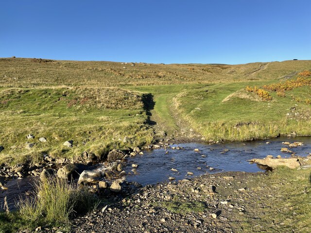
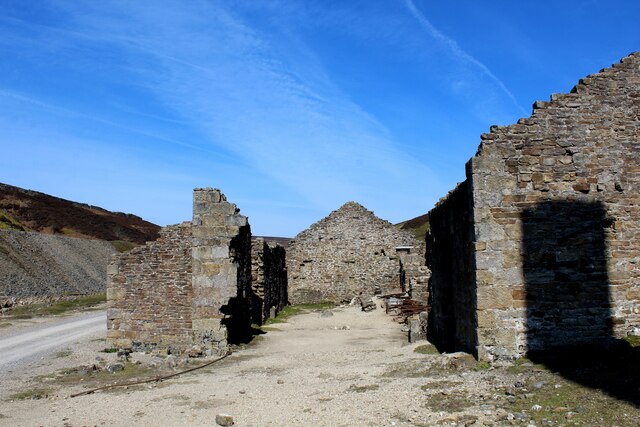
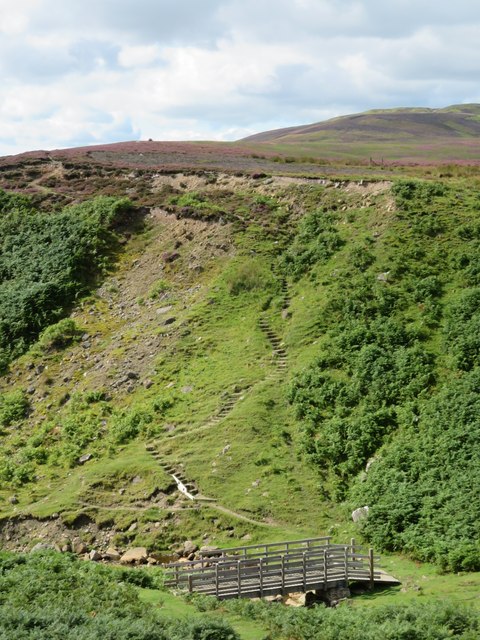
Brunt Hill Images
Images are sourced within 2km of 54.390015/-2.0321974 or Grid Reference SD9899. Thanks to Geograph Open Source API. All images are credited.


Brunt Hill is located at Grid Ref: SD9899 (Lat: 54.390015, Lng: -2.0321974)
Division: North Riding
Administrative County: North Yorkshire
District: Richmondshire
Police Authority: North Yorkshire
What 3 Words
///appear.streaking.projects. Near Bowes, Co. Durham
Nearby Locations
Related Wikis

Feetham
Feetham is a hamlet opposite Low Row in the Yorkshire Dales, North Yorkshire, England. The origin of the place-name is from Old Norse and means place at...

Kearton
Kearton is a hamlet in the Yorkshire Dales, North Yorkshire, England. Kearton is situated near Low Row and Reeth. == References == == External links... ==

Low Row
Low Row is a village in Swaledale, in the Yorkshire Dales, North Yorkshire, England. It lies about 3 miles west of Reeth and is between Healaugh and Gunnerside...

Melbecks
Melbecks is a civil parish in North Yorkshire, England. It is located in upper Swaledale and covers the settlements of Gunnerside, Low Row, Feetham and...

Crackpot, North Yorkshire
Crackpot is a village in Swaledale, North Yorkshire, England. Its name derives from the Old English kraka (crow) and the Viking word pot (usually a pit...

Gunnerside
Gunnerside is a village in North Yorkshire, England. It is situated in Swaledale, on the B6270 road, 3 miles (5 km) east of Muker and 6 miles (10 km) west...

Calver Hill
Calver Hill is a fell in the Yorkshire Dales National Park in North Yorkshire, England. It is composed of limestone and is situated at grid reference NZ012003...

Healaugh, Richmondshire
Healaugh (pronounced "hee-law") is a small village in the civil parish of Reeth, Fremington and Healaugh, in Swaledale in the Yorkshire Dales. It is in...
Nearby Amenities
Located within 500m of 54.390015,-2.0321974Have you been to Brunt Hill?
Leave your review of Brunt Hill below (or comments, questions and feedback).