Allgreave Hill
Hill, Mountain in Cheshire
England
Allgreave Hill
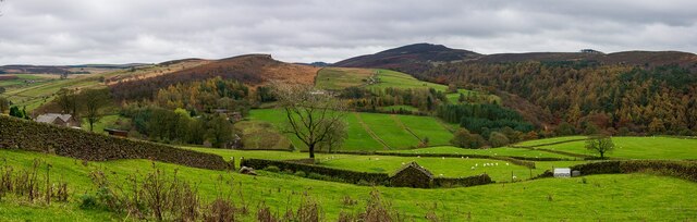
Allgreave Hill, located in the county of Cheshire, England, is a prominent hill that forms part of the Pennine Range. Standing at an elevation of approximately 463 meters (1,519 feet), it offers breathtaking panoramic views of the surrounding countryside.
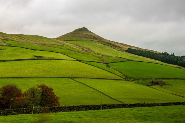
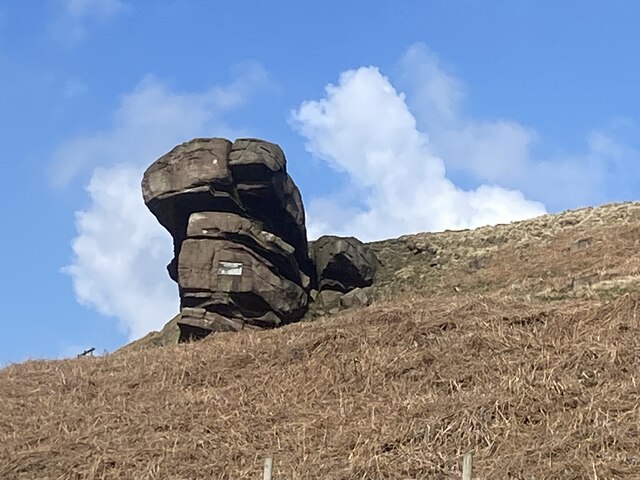
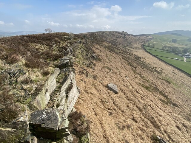
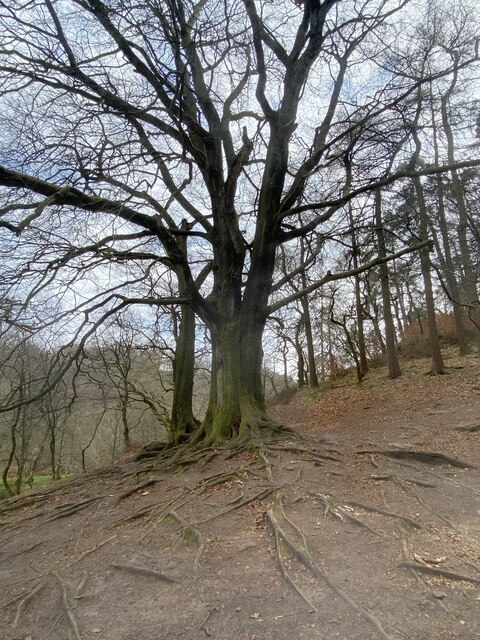
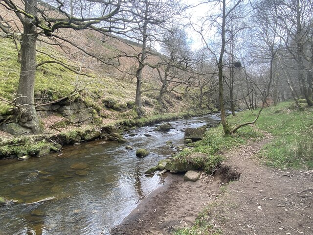
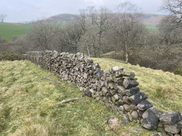
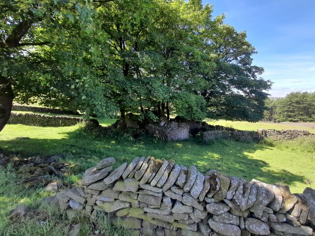
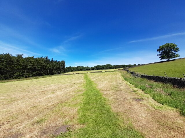
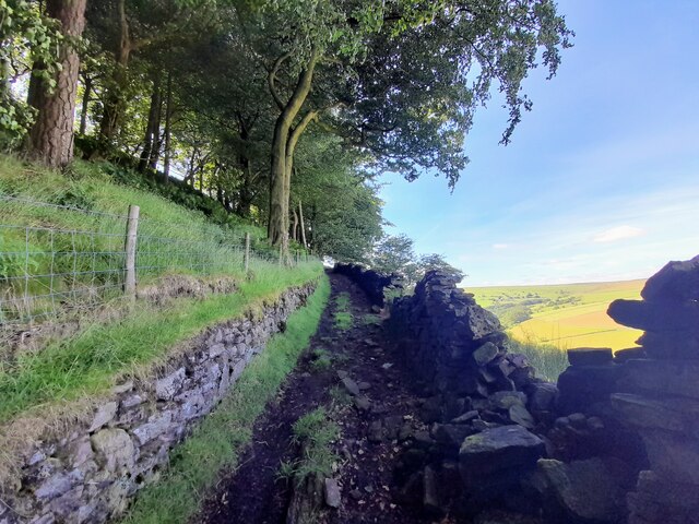
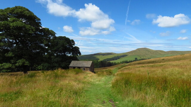
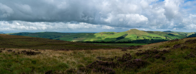
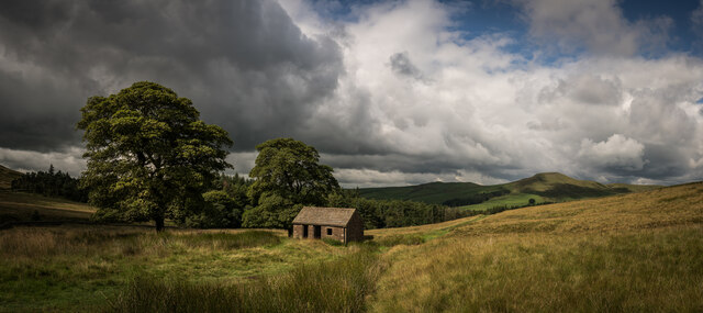
Situated within the Peak District National Park, Allgreave Hill is a popular destination for outdoor enthusiasts and nature lovers. The hill is known for its rugged terrain, featuring steep slopes and rocky outcrops. Its unique landscape is a result of the geological processes that shaped the area over millions of years.
The hill is covered in heather and grasses, providing habitat for a variety of wildlife species such as red grouse, mountain hares, and various bird species. It is also home to a diverse range of plant life, including bilberry and heather.
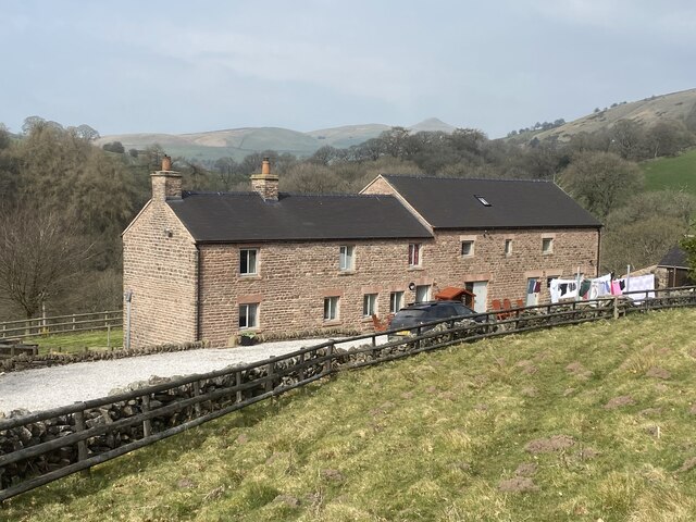
Hikers and walkers are drawn to Allgreave Hill due to its challenging trails and stunning vistas. The hill is easily accessible via several footpaths and trails, allowing visitors to explore its beauty at their own pace. On a clear day, views from the summit stretch across the Cheshire Plain, offering glimpses of nearby towns and villages.
Allgreave Hill is steeped in history, with evidence of prehistoric settlements and ancient burial mounds found in the surrounding area. It has also witnessed human activity throughout the centuries, including mining and quarrying.
Overall, Allgreave Hill is a captivating natural landmark in Cheshire, offering visitors a chance to immerse themselves in the beauty of the English countryside while enjoying the physical challenges it presents.
If you have any feedback on the listing, please let us know in the comments section below.
Allgreave Hill Images
Images are sourced within 2km of 53.202895/-2.0327606 or Grid Reference SJ9767. Thanks to Geograph Open Source API. All images are credited.


Allgreave Hill is located at Grid Ref: SJ9767 (Lat: 53.202895, Lng: -2.0327606)
Unitary Authority: Cheshire East
Police Authority: Cheshire
What 3 Words
///tightrope.reflect.dividing. Near Macclesfield, Cheshire
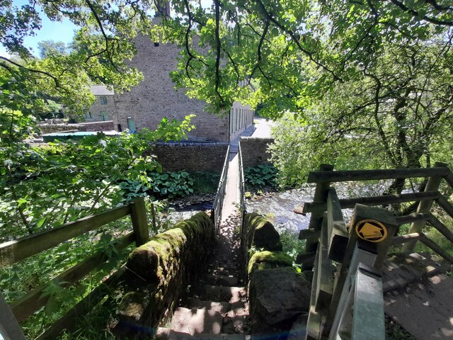
Nearby Locations
Related Wikis

Allgreave
Allgreave is a village in Cheshire, England. It lies on the A54 (Buxton to Congleton) road, near to the border with Staffordshire. Allgreave Methodist...

Wildboarclough
Wildboarclough ( WIL-bə-kluf) is a village in the civil parish of Macclesfield Forest and Wildboarclough, in the Cheshire East district, in the ceremonial...

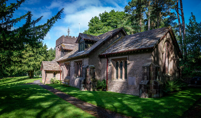
St Saviour's Church, Wildboarclough
St Saviour's Church is in the village of Wildboarclough, Cheshire, England. It is an active Anglican parish church in the deanery of Macclesfield, the...

Crag Hall
Crag Hall is a country house east of the village of Wildboarclough, Cheshire, England and owned by the Earl of Derby. == Description == It was built in...

Lud's Church
Lud's Church (sometimes written as Ludchurch) is a deep chasm penetrating the Millstone Grit bedrock created by a massive landslip on the hillside above...

Shutlingsloe
Shutlingsloe is a hill near the village of Wildboarclough, in the east of the county of Cheshire. It stands to the south of Macclesfield Forest, on the...

Wincle
Wincle is a village and civil parish in the Cheshire East district of Cheshire, England. It holds parish meetings, rather than parish council meetings...
St Michael's Church, Wincle
St Michael's Church is in the village of Wincle, Cheshire, England. It is an active Anglican parish church in the diocese of Chester, the archdeaconry...
Nearby Amenities
Located within 500m of 53.202895,-2.0327606Have you been to Allgreave Hill?
Leave your review of Allgreave Hill below (or comments, questions and feedback).