Midgley Hill

Hill, Mountain in Cheshire

England

Midgley Hill

Barn and tree north-east of Leech Wood
Barn and tree north-east of Leech Wood Credit: John H Darch

The requested URL returned error: 429 Too Many Requests

If you have any feedback on the listing, please let us know in the comments section below.
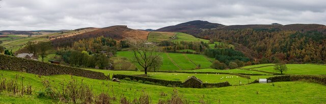
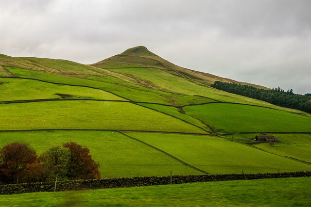
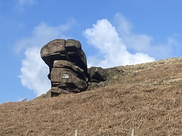
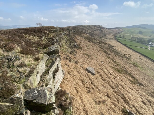
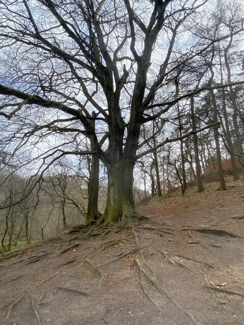
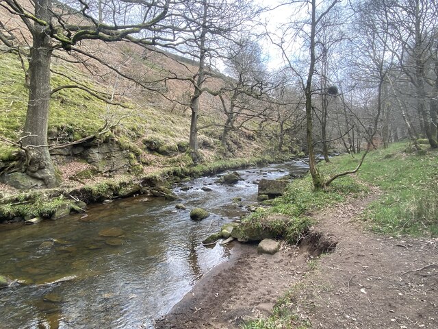
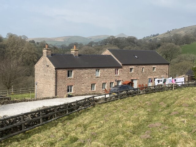
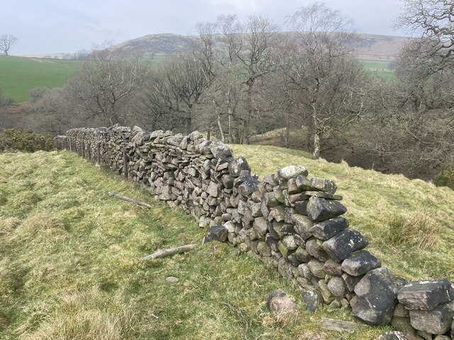
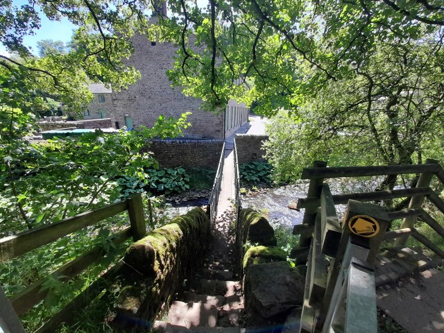
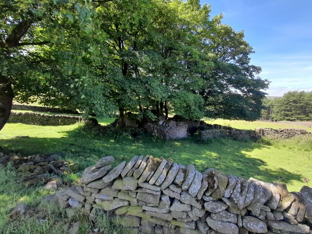
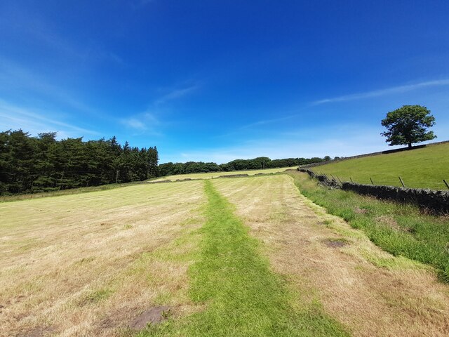
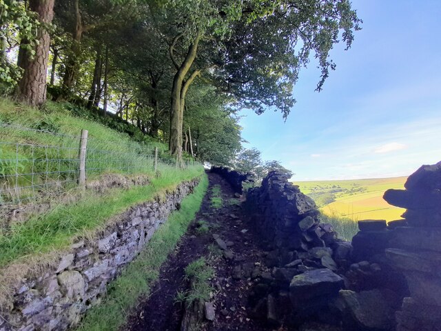
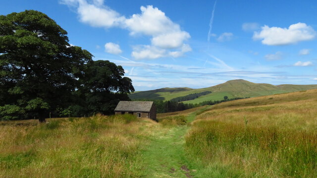
Midgley Hill Images

Images are sourced within 2km of 53.202895/-2.0327756 or Grid Reference SJ9767. Thanks to Geograph Open Source API. All images are credited.

Barn and tree north-east of Leech Wood
Crag Hall With Shuttlings Low in the background.
Crag Hall
With Shuttlings Low in the background.
Gradbach, Peak District An elevated view from a road to the North.
Gradbach, Peak District
An elevated view from a road to the North.
Helmesley, Peak District The A54 is a short distance ahead. The Sutton Common BT Tower is also visible in the distance.
Helmesley, Peak District
The A54 is a short distance ahead. The Sutton Common BT Tower is also visible in the distance.
Shutlingsloe, Peak District Viewed from the A54, on the edge of the Peak District in Cheshire.
Shutlingsloe, Peak District
Viewed from the A54, on the edge of the Peak District in Cheshire.
Hanging Stone A gritstone outcrop which is a familiar sight to walkers on  the Back Forest ridge.
Hanging Stone
A gritstone outcrop which is a familiar sight to walkers on the Back Forest ridge.
Back Forest escarpment
Tree with exposed roots At the edge of Forest Wood by the River Dane.
Tree with exposed roots
At the edge of Forest Wood by the River Dane.
River Dane From the Staffordshire bank.
River Dane
From the Staffordshire bank.
Back Dane Owned by a charitable trust, Back Dane has been providing accommodation for groups exploring the Peak District for over half a century.
Back Dane
Owned by a charitable trust, Back Dane has been providing accommodation for groups exploring the Peak District for over half a century.
In need of repair Drystone wall above the River Dane.
In need of repair
Drystone wall above the River Dane.
St. Saviours Church, Wildboarclough The church was built between 1901 and 1909 for the 16th Earl of Derby to celebrate the safe return of his sons from the Boer War. The building was carried out by workers from the Crag estate. The foundation stone was laid by the Countess of Derby on 14 September 1901, and the church was consecrated in 1909.


<span class="nowrap"><a title="https://en.wikipedia.org/wiki/St_Saviour%27s_Church,_Wildboarclough" rel="nofollow ugc noopener" href="https://en.wikipedia.org/wiki/St_Saviour%27s_Church,_Wildboarclough">Link</a><img style="margin-left:2px;" alt="External link" title="External link - shift click to open in new window" src="https://s1.geograph.org.uk/img/external.png" width="10" height="10"/></span>
St. Saviours Church, Wildboarclough
The church was built between 1901 and 1909 for the 16th Earl of Derby to celebrate the safe return of his sons from the Boer War. The building was carried out by workers from the Crag estate. The foundation stone was laid by the Countess of Derby on 14 September 1901, and the church was consecrated in 1909. LinkExternal link
Footbridge over the Dane at Gradbach Mill
Ruined sheepfold at Goosetree Farm
Ruins at Tagscloughhole
Footpath across a mown field
Walled footpath by Berrybank Wood
Moorland path west of A54 near Wildboarclough & view towards Shutlingsloe
Show me another place!

Midgley Hill is located at Grid Ref: SJ9767 (Lat: 53.202895, Lng: -2.0327756)

Unitary Authority: Cheshire East

Police Authority: Cheshire

What 3 Words

///tightrope.reflect.dividing. Near Macclesfield, Cheshire

Related Wikis

Allgreave

Allgreave is a village in Cheshire, England. It lies on the A54 (Buxton to Congleton) road, near to the border with Staffordshire. Allgreave Methodist...

Wildboarclough

Wildboarclough ( WIL-bə-kluf) is a village in the civil parish of Macclesfield Forest and Wildboarclough, in the Cheshire East district, in the ceremonial...

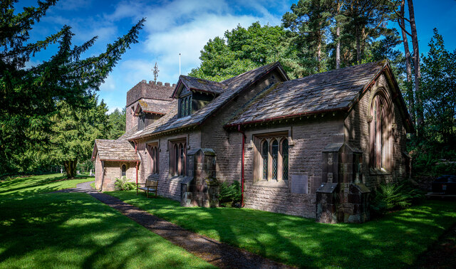
St Saviour's Church, Wildboarclough

St Saviour's Church is in the village of Wildboarclough, Cheshire, England. It is an active Anglican parish church in the deanery of Macclesfield, the...

Crag Hall

Crag Hall is a country house east of the village of Wildboarclough, Cheshire, England and owned by the Earl of Derby. == Description == It was built in...

Related Videos

Hiking /adventure/discovery/holidays

0 Personalise your sustainability settings 0 Personalise your accessibility settings  BUSINESS Lud's Church Lud's Church is a ...

Amazing valley hike in Peak district | UK #travel #hiking #trekking

Hiking Three Shires Head in the Peak District offers a wonderful adventure through some of the most picturesque landscapes in ...

Walking Vlog: Flash - Three Shires - Peak District

peakdistrictwalks OS https://osmaps.ordnancesurvey.co.uk/route/11272652/Flash-Three-Shires-Head Google Maps ...

Great Recommendation | Easy Hiking Route | Three Shires Head | The Peak District

Thank you to everyone who recommended going to Three Shires Head in The Peak District. It was up there with other favourite ...

Nearby Amenities

Located within 500m of 53.202895,-2.0327756
Cafe
Blaze Farm
Addr Postcode: SK11 0BL
Fhrs Id: 890348
Website: https://www.blazefarm.com/
Lat/Long: 53.2048972/-2.0388318
Barrier: stile
Lat/Long: 53.2037604/-2.0391238
The data included in this document is from www.openstreetmap.org. The data is made available under ODbL.

Have you been to Midgley Hill?

Leave your review of Midgley Hill below (or comments, questions and feedback).