Swindon Hill
Hill, Mountain in Northumberland
England
Swindon Hill
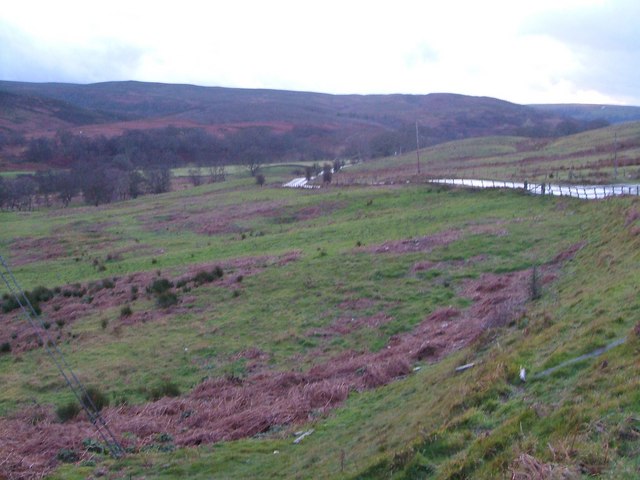
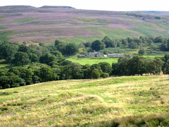
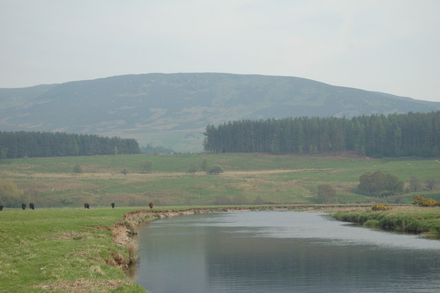
Swindon Hill is a prominent hill located in the county of Northumberland, England. It is part of the Northumberland National Park, which is renowned for its stunning landscapes and diverse wildlife. The hill sits at an elevation of approximately 350 meters (1148 feet) above sea level, offering visitors breathtaking panoramic views of the surrounding countryside.
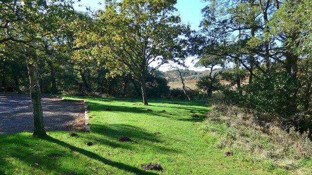
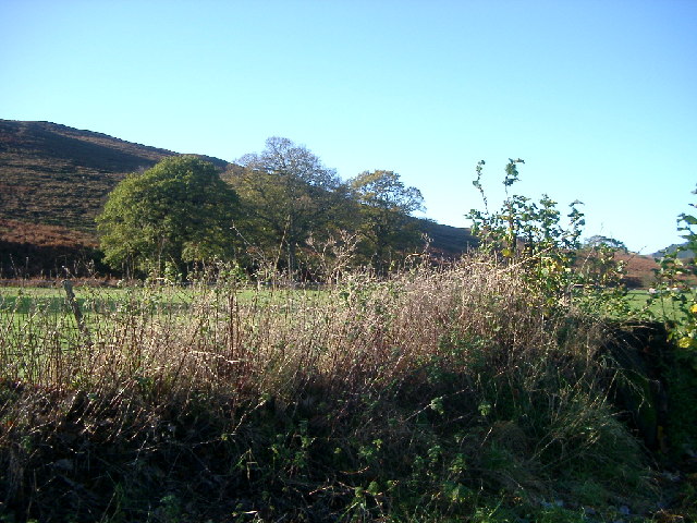
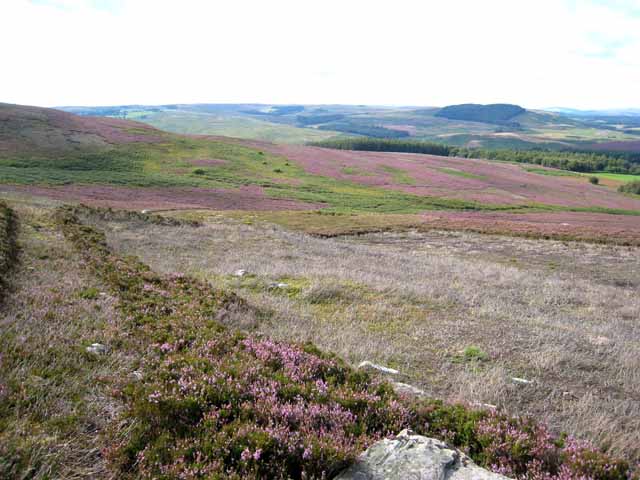
Covered in lush greenery, Swindon Hill is a haven for nature enthusiasts and hikers alike. Its slopes are adorned with a variety of plant species, including heather, gorse, and wildflowers, creating a vibrant and picturesque environment. The hill is also home to a wide range of wildlife, such as red squirrels, rabbits, and various bird species, making it an ideal spot for birdwatching and animal spotting.
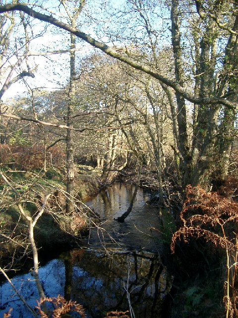
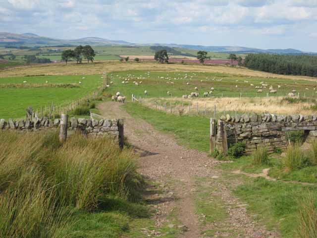
Accessible hiking trails wind their way up Swindon Hill, allowing visitors to explore its natural beauty at their own pace. The paths offer a mix of gentle inclines and steeper sections, catering to both casual walkers and more experienced hikers. Along the way, walkers can enjoy the tranquility of the countryside and may even stumble upon ancient stone circles or remnants of Northumberland's rich history.
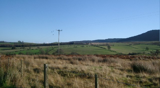
At the summit of Swindon Hill, hikers are rewarded with breathtaking views of the surrounding landscape, including the Cheviot Hills, Northumberland National Park, and the Scottish border. On a clear day, it is possible to see as far as the North Sea.
Swindon Hill truly encapsulates the natural beauty and tranquility that Northumberland has to offer, making it a must-visit destination for those seeking a peaceful retreat in the heart of the English countryside.
If you have any feedback on the listing, please let us know in the comments section below.
Swindon Hill Images
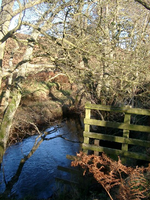
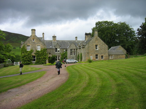
Images are sourced within 2km of 55.290559/-2.0355421 or Grid Reference NY9799. Thanks to Geograph Open Source API. All images are credited.


Swindon Hill is located at Grid Ref: NY9799 (Lat: 55.290559, Lng: -2.0355421)
Unitary Authority: Northumberland
Police Authority: Northumbria
What 3 Words
///flight.reporters.possibly. Near Rothbury, Northumberland
Nearby Locations
Related Wikis

Hepple
Hepple is a small village and parish in rural Northumberland, 4 miles (6.4 km) west of Rothbury, which provides most of its local services. It is on the...

Reivers Way
The Reivers Way is a long-distance footpath in Northumberland, passing through the Northumberland National Park and the Cheviot Hills. Totalling 242 kilometres...
High Cove
High Cove is a major slip feature to the west of Grasslees Burn in the Simonside Hills, Northumberland, England. It contains several small rifts and caves...

Tosson Hill
Tosson Hill is the highest hill in the Simonside Hills to the south of Rothbury in Northumberland, England. The summit lies about 2 kilometres (1.2 mi...
Nearby Amenities
Located within 500m of 55.290559,-2.0355421Have you been to Swindon Hill?
Leave your review of Swindon Hill below (or comments, questions and feedback).