Maw Stones Hill

Hill, Mountain in Yorkshire Craven

England

Maw Stones Hill

The Pennine Way near Old Bess Hill
The Pennine Way near Old Bess Hill Credit: Dave Kelly

The requested URL returned error: 429 Too Many Requests

If you have any feedback on the listing, please let us know in the comments section below.

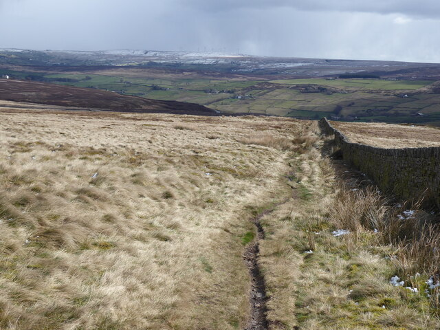
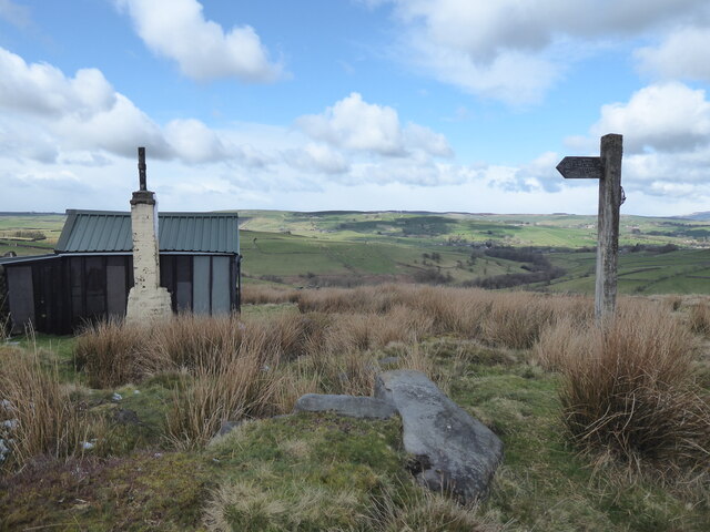
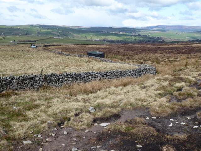
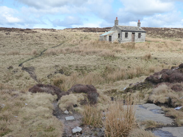
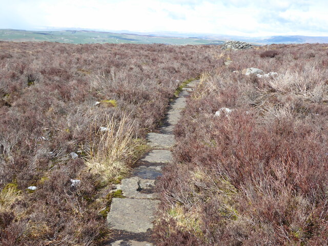
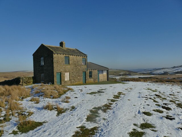
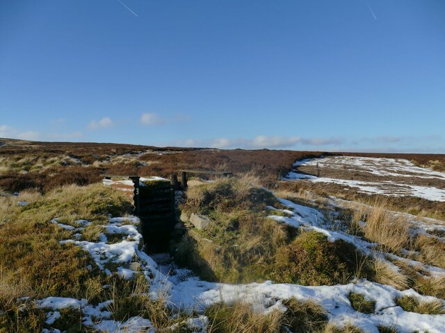
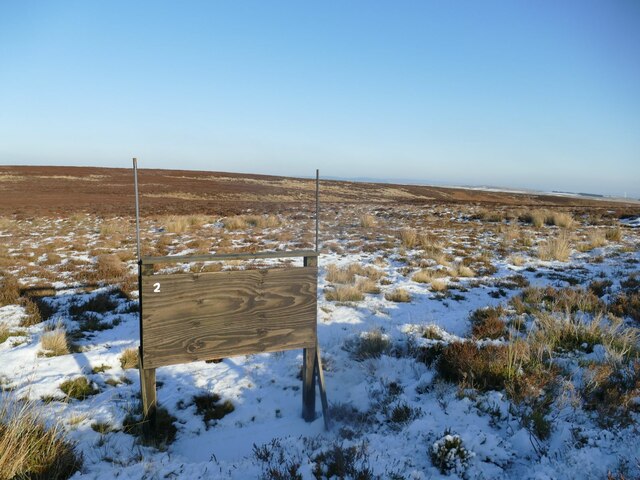
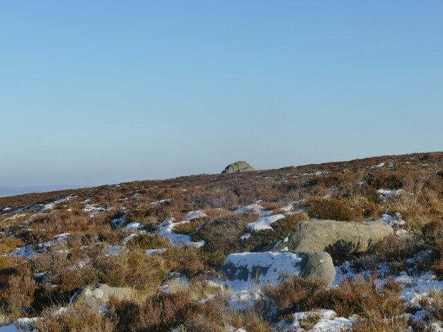
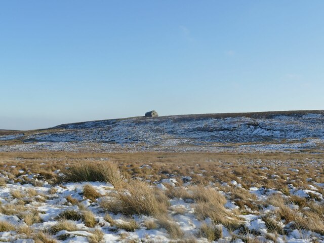
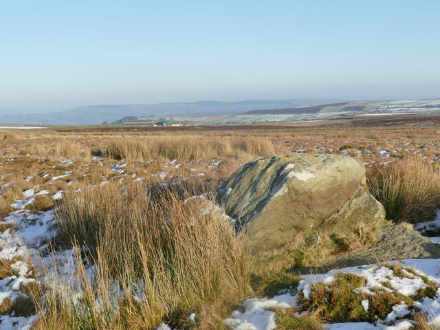
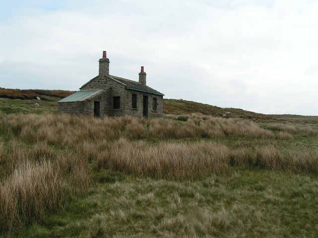
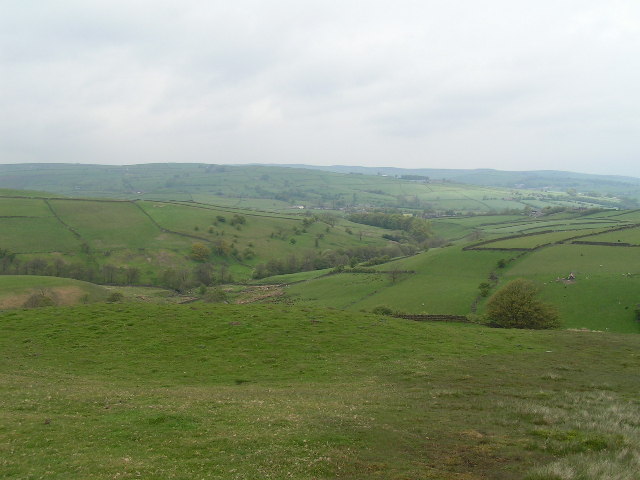
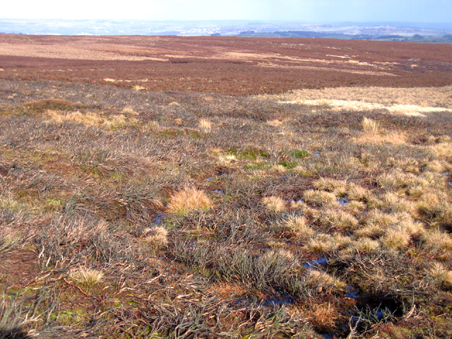
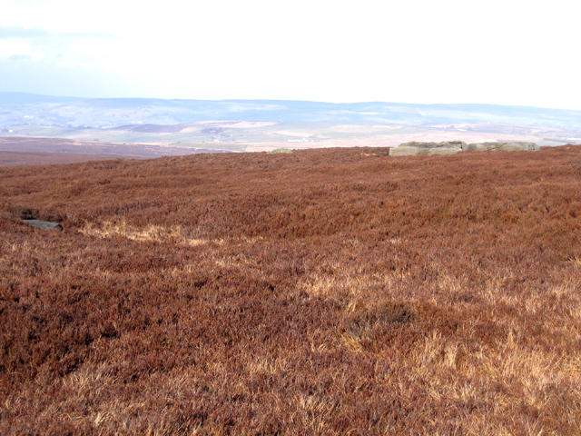
Maw Stones Hill Images

Images are sourced within 2km of 53.857076/-2.0352195 or Grid Reference SD9740. Thanks to Geograph Open Source API. All images are credited.

The Pennine Way near Old Bess Hill
The Pennine Way near Further Dean Hole
The Pennine Way near High End Lowe
The Pennine Way near Brown Hill
The Pennine Way near Cat Stone Hill
Shooting lodge above Smallden Clough See also <a href="https://www.geograph.org.uk/photo/2509812">SD9940 : Shooting Lodge on edge of Keighley Moor</a>.
Shooting lodge above Smallden Clough
Shooting butt no. 3 Presumably associated with the nearby lodge <a href="https://www.geograph.org.uk/photo/7393536">SD9940 : Shooting lodge above Smallden Clough</a>; this was the nearest of the butts to the stone track.
Shooting butt no. 3
Presumably associated with the nearby lodge SD9940 : Shooting lodge above Smallden Clough; this was the nearest of the butts to the stone track.
Cleared area at the head of a track Where a patch of heather has been cleared, it's usually just to encourage new growth that the birds can feed on. But this one is at the end of a vehicle track (beyond to the north-west is only a foot track to the grouse butts) so I presume it's been cleared as a parking area for SUVs.
Cleared area at the head of a track
Where a patch of heather has been cleared, it's usually just to encourage new growth that the birds can feed on. But this one is at the end of a vehicle track (beyond to the north-west is only a foot track to the grouse butts) so I presume it's been cleared as a parking area for SUVs.
Crystalline snow on Keighley Moor A macro photograph of snow covering a moorland track. The scale of the photo is probably about 5-10 centimetres across. I have rarely seen this form of snow, the formation of which must be related to the temperature when it fell and afterwards. See <a href="https://www.geograph.org.uk/photo/1742465">NO1585 : Large snow crystals on Sron nan Gabhar</a> for another contributor's similar photo, while the description at <a href="https://www.geograph.org.uk/photo/2188648">SY6989 : Frozen Leaf</a> explains the growth of ice crystals.
Crystalline snow on Keighley Moor
A macro photograph of snow covering a moorland track. The scale of the photo is probably about 5-10 centimetres across. I have rarely seen this form of snow, the formation of which must be related to the temperature when it fell and afterwards. See NO1585 : Large snow crystals on Sron nan Gabhar for another contributor's similar photo, while the description at SY6989 : Frozen Leaf explains the growth of ice crystals.
Grouse butt no.2 on Keighley Moor The GPS co-ordinates put this as near as makes no difference on the county boundary between West and North Yorkshire (right & left respectively).
Grouse butt no.2 on Keighley Moor
The GPS co-ordinates put this as near as makes no difference on the county boundary between West and North Yorkshire (right & left respectively).
View towards the Hitching Stone (1) The natural boulder, the largest of many glacial erratics in this area, was used to denote a turning point in the boundary between parishes, and subsequently between West and North Yorkshire. This was the closest I got to it on this occasion: I had already stuck my foot in the bog twice, and couldn't be bothered with another excursion across the trackless moor to see the stone close up. Other contributors have made it: <a title="https://www.geograph.org.uk/stuff/list.php?label=Hitching+Stone&gridref=SD9841" href="https://www.geograph.org.uk/stuff/list.php?label=Hitching+Stone&gridref=SD9841">Link</a>
View towards the Hitching Stone (1)
The natural boulder, the largest of many glacial erratics in this area, was used to denote a turning point in the boundary between parishes, and subsequently between West and North Yorkshire. This was the closest I got to it on this occasion: I had already stuck my foot in the bog twice, and couldn't be bothered with another excursion across the trackless moor to see the stone close up. Other contributors have made it: Link
View towards the Hitching Stone (2) The natural boulder, the largest of many glacial erratics in this area, was used to denote a turning point in the boundary between parishes, and subsequently between West and North Yorkshire. From this viewpoint it seems to be sitting on top of a ridge (though actually just a change of gradient of the hill). For closer views, see  <a title="https://www.geograph.org.uk/stuff/list.php?label=Hitching+Stone&gridref=SD9841" href="https://www.geograph.org.uk/stuff/list.php?label=Hitching+Stone&gridref=SD9841">Link</a>
View towards the Hitching Stone (2)
The natural boulder, the largest of many glacial erratics in this area, was used to denote a turning point in the boundary between parishes, and subsequently between West and North Yorkshire. From this viewpoint it seems to be sitting on top of a ridge (though actually just a change of gradient of the hill). For closer views, see Link
The Lunching Stone One of many glacial erratics in this area, and far from the largest. Unlike its bigger neighbours the Hitching Stone, Maw Stone, Kid Stone, Winter Hill Stone, etc., it has no name on the map, so I've given it one: the rock is the right height for a couple of adults to sit on, and the rock platform at its base keeps one's rucksack out of the bog. The symmetrical grid reference (SD98414198) is also pleasing. The view is eastwards across Airedale, but Pendle was clearly visible to the west, and Sharp Haw to the north.
The Lunching Stone
One of many glacial erratics in this area, and far from the largest. Unlike its bigger neighbours the Hitching Stone, Maw Stone, Kid Stone, Winter Hill Stone, etc., it has no name on the map, so I've given it one: the rock is the right height for a couple of adults to sit on, and the rock platform at its base keeps one's rucksack out of the bog. The symmetrical grid reference (SD98414198) is also pleasing. The view is eastwards across Airedale, but Pendle was clearly visible to the west, and Sharp Haw to the north.
Shooting Hut, Ickornshaw Moor This shooting hut is just in SD9640 - the sheep are probably in SD9641! The hut is known as the New Stone Hut - see <span class="nowrap"><a title="http://www.cowlingweb.co.uk/oldgallery/displayimage.asp?imageID=1743" rel="nofollow ugc noopener" href="http://www.cowlingweb.co.uk/oldgallery/displayimage.asp?imageID=1743">Link</a><img style="margin-left:2px;" alt="External link" title="External link - shift click to open in new window" src="https://s1.geograph.org.uk/img/external.png" width="10" height="10"/></span> for a picture of the grand opening in 1902. The lean-to appears to be a more modern addition.
Shooting Hut, Ickornshaw Moor
This shooting hut is just in SD9640 - the sheep are probably in SD9641! The hut is known as the New Stone Hut - see LinkExternal link for a picture of the grand opening in 1902. The lean-to appears to be a more modern addition.
View from Eller Hill Looking north from the Pennine Way
View from Eller Hill
Looking north from the Pennine Way
The Hitching Stone, Keighley Moor Supposedly the largest single boulder in Yorkshire and thought to have mythological significance. The site of annual horse races and Lammas Fair up until 1870
The Hitching Stone, Keighley Moor
Supposedly the largest single boulder in Yorkshire and thought to have mythological significance. The site of annual horse races and Lammas Fair up until 1870
Brown Edge, Keighley Moor, W Yorks view NE from below Maw Stones Hill, with degraded burnt heather moor in the foreground.
Brown Edge, Keighley Moor, W Yorks
view NE from below Maw Stones Hill, with degraded burnt heather moor in the foreground.
Maw Stones Hill, Keighley Moor, W Yorks view N across heather moorland from West Yorkshire into North Yorkshire, with some of the flat maw stones on the right.
Maw Stones Hill, Keighley Moor, W Yorks
view N across heather moorland from West Yorkshire into North Yorkshire, with some of the flat maw stones on the right.
Show me another place!

Maw Stones Hill is located at Grid Ref: SD9740 (Lat: 53.857076, Lng: -2.0352195)

Division: West Riding

Administrative County: North Yorkshire

District: Craven

Police Authority: North Yorkshire

What 3 Words

///could.repayment.simple. Near Glusburn, North Yorkshire

Related Wikis

The Hitching Stone

The Hitching Stone is a gritstone erratic block on Keighley Moor, North Yorkshire, near Earl Crag and the village of Cowling. It is very close to the...

Watersheddles Reservoir

Watersheddles Reservoir is an upland artificial lake in Lancashire, England. The reservoir was opened in 1877 by the Keighley Corporation Water Works,...

Wainman's Pinnacle

Wainman's Pinnacle, originally built as a folly (and still used as a folly), is a stone obelisk in Sutton-in-Craven, North Yorkshire. It tends to be referred...
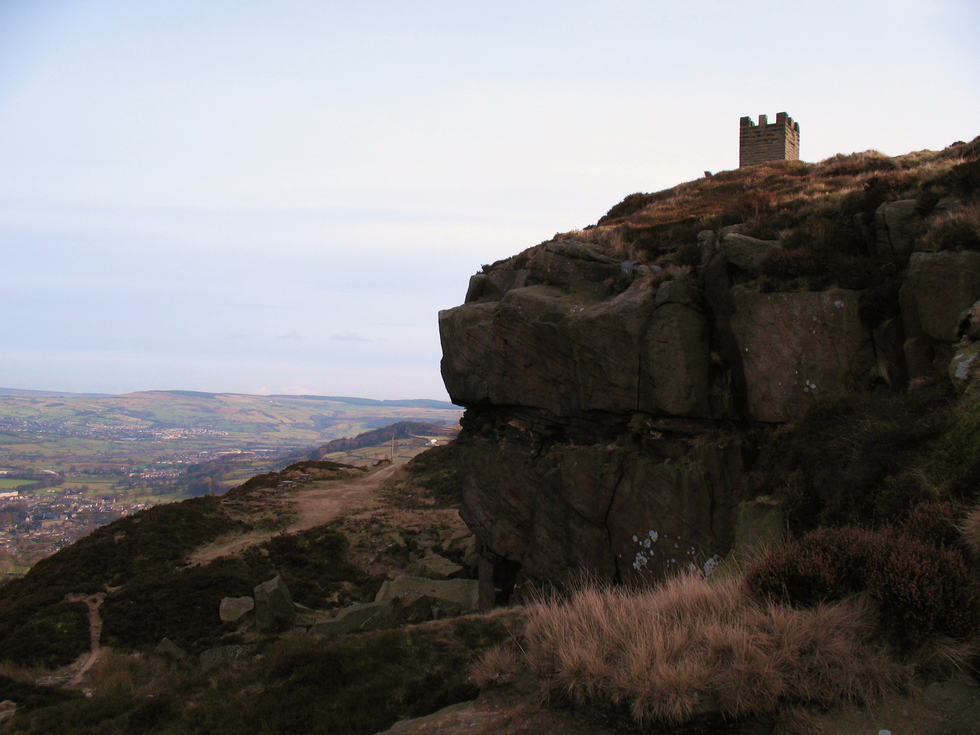
Earl Crag

Earl Crag is a gritstone crag and climbing area in Craven, North Yorkshire, England. It is home to Lund's Tower, Wainman's Pinnacle, and The Hitching...

Related Videos

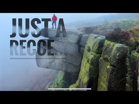
1st early morning hike ( turned into a recce) #dji #hike #pinnacle

My 1st early morning mooch with camera & drone , after a spell with COVID. Nothing too strenuous, but a decent hike up & along ...

Salt & Pepper Pots walk - Cowling - North Yorkshire

Salt and Pepper Pots walk in Cowling - Craven district - North Yorkshire Quick bit of footage on an extremely windy morning.

Watersheddles Reservoir at Scartop Oakworth Moor Hanging Stone 2019

Watersheddles - Aerial Film of This oddly named Reservoir located on the south side of the trans pennine road "lancashire moor ...

Nearby Amenities

Located within 500m of 53.857076,-2.0352195
The data included in this document is from www.openstreetmap.org. The data is made available under ODbL.

Have you been to Maw Stones Hill?

Leave your review of Maw Stones Hill below (or comments, questions and feedback).