Bent Hill
Hill, Mountain in Yorkshire
England
Bent Hill

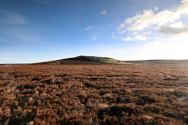
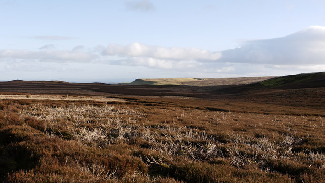
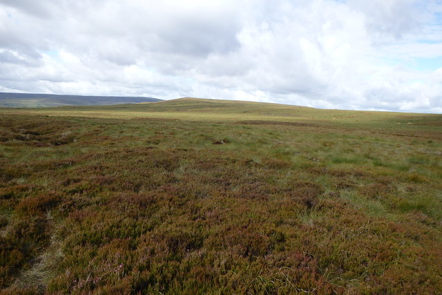
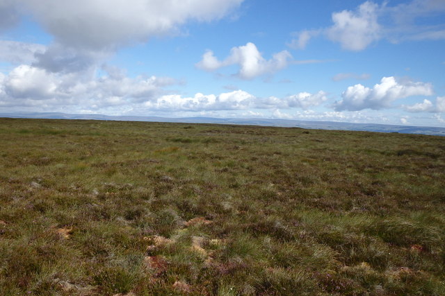
Bent Hill is a prominent hill located in the county of Yorkshire, England. Situated in the Yorkshire Dales National Park, it forms part of the picturesque landscape that characterizes the region. With an elevation of approximately 400 meters (1312 feet), Bent Hill is not considered a mountain but rather a notable hill.
The hill is known for its distinctive shape, which gives it its name. It features a gentle curve or bend along its ridge that sets it apart from the surrounding landscape. This unique topography makes it easily recognizable from a distance and adds to its appeal for both locals and visitors.
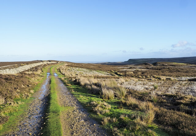
Bent Hill offers breathtaking panoramic views of the surrounding countryside. From its summit, on clear days, one can admire the rolling hills, lush green valleys, and quaint villages that dot the Yorkshire Dales. The hill is a popular destination for hikers and nature enthusiasts, who enjoy exploring the well-marked trails that crisscross the area.
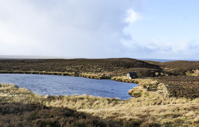
The hill's location within the national park ensures a rich diversity of flora and fauna. One can encounter various species of wildflowers, birds, and mammals while traversing its slopes. Bent Hill also boasts several ancient archaeological sites, including burial mounds and stone circles, which add an element of historical intrigue to the area.
In conclusion, Bent Hill is a captivating landmark in Yorkshire, offering stunning views, an interesting shape, and a wealth of natural and historical significance. Whether one seeks adventure, tranquility, or a glimpse into the region's past, this remarkable hill is sure to leave a lasting impression.
If you have any feedback on the listing, please let us know in the comments section below.
Bent Hill Images
Images are sourced within 2km of 54.477241/-2.0403375 or Grid Reference NY9709. Thanks to Geograph Open Source API. All images are credited.


Bent Hill is located at Grid Ref: NY9709 (Lat: 54.477241, Lng: -2.0403375)
Division: North Riding
Unitary Authority: County Durham
Police Authority: Durham
What 3 Words
///imparting.baking.functions. Near Bowes, Co. Durham
Nearby Locations
Related Wikis

Sleightholme
Sleightholme is a secluded hamlet on a dead end road in County Durham, England. It lies beside Sleightholme Beck, a tributary of the River Greta. The...

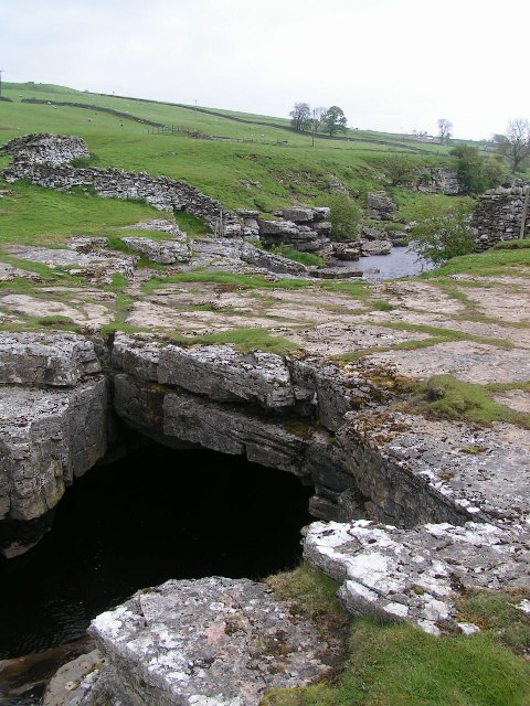
Sleightholme Beck Gorge – The Troughs
Sleightholme Beck Gorge – The Troughs is a Site of Special Scientific Interest in the County Durham district of south-west County Durham, England. The...

Arkengarthdale
Arkengarthdale is a dale, or valley, on the east side of the Pennines in North Yorkshire, England. Running roughly north-west to south-east, it is the...

Hoove
Hoove is a hill in the northern Yorkshire Dales in North Yorkshire, England, near the town of Barnard Castle in County Durham. Its elevation is 554 metres...
God's Bridge
God's Bridge is a Site of Special Scientific Interest in the County Durham district of south-west County Durham, England. It is a natural limestone bridge...
Walney to Wear and Whitby Cycle Route
The Walney to Wear and Whitby Cycle Route (or W2W) is the name of a cross-country cycle route in Northern England. It runs from Walney Island in Cumbria...
National Cycle Route 70
National Cycle Network (NCN) Route 70 is a Sustrans National Route that runs from Walney Island in Cumbria to Sunderland. The route is fully open and signed...

Whaw
Whaw is a hamlet in Arkengarthdale in North Yorkshire, England. It is one of few settlements in the dale and is one of the smallest. Its name derives from...
Nearby Amenities
Located within 500m of 54.477241,-2.0403375Have you been to Bent Hill?
Leave your review of Bent Hill below (or comments, questions and feedback).