Hotburn Hill

Hill, Mountain in Northumberland

England

Hotburn Hill

The Square, Blanchland Classic view of Blanchland on a late summer day. The village square is packed with listed buildings - linked here is the Abbey Gatehouse and Post Office - the castellated building in the centre of the picture. <span class="nowrap"><a title="https://historicengland.org.uk/listing/the-list/list-entry/1153918" rel="nofollow ugc noopener" href="https://historicengland.org.uk/listing/the-list/list-entry/1153918">Link</a><img style="margin-left:2px;" alt="External link" title="External link - shift click to open in new window" src="https://s1.geograph.org.uk/img/external.png" width="10" height="10"/></span>
The Square, Blanchland Credit: Philip Cornwall

Hotburn Hill is a prominent hill located in the county of Northumberland, England. Standing at an elevation of approximately 509 meters (1,669 feet), it is recognized as one of the highest peaks in the region. The hill is part of the Cheviot Hills, a range known for its natural beauty and rugged landscapes.

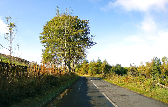
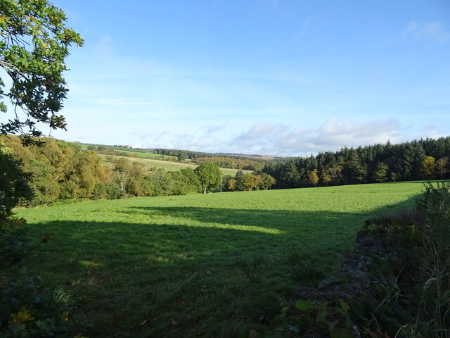
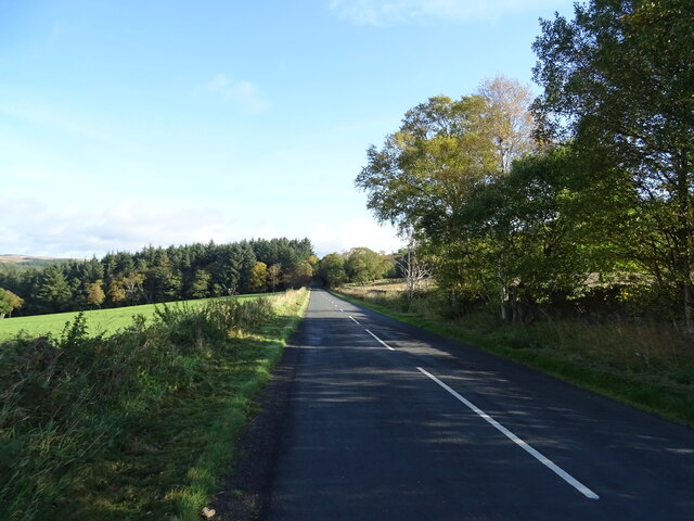
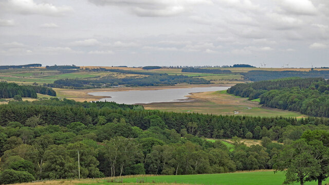
Situated within the Northumberland National Park, Hotburn Hill offers breathtaking panoramic views of the surrounding countryside. On a clear day, visitors can admire the vast moorlands, rolling hills, and distant mountains that stretch as far as the eye can see. The summit of the hill provides an ideal vantage point for nature enthusiasts, photographers, and hikers seeking an exhilarating outdoor adventure.

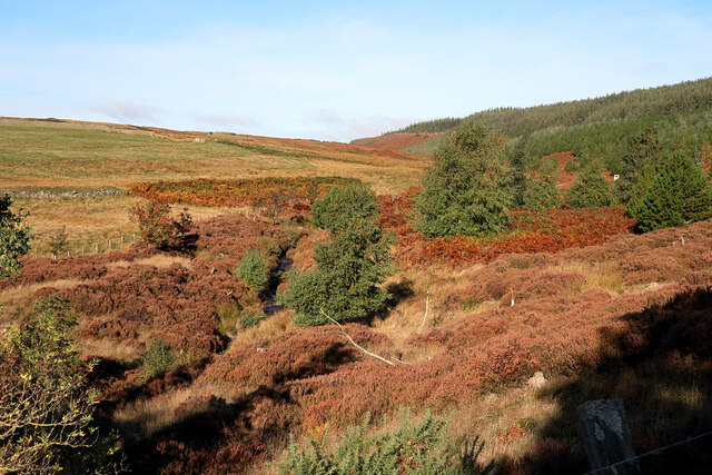
The terrain of Hotburn Hill is characterized by undulating slopes covered in heather, grasses, and scattered rocky outcrops. The hill is home to various species of wildlife, including birds of prey, such as kestrels and buzzards, as well as mountain hares and red grouse. The area also boasts a rich botanical diversity, with wildflowers and rare plant species thriving in the heathland.

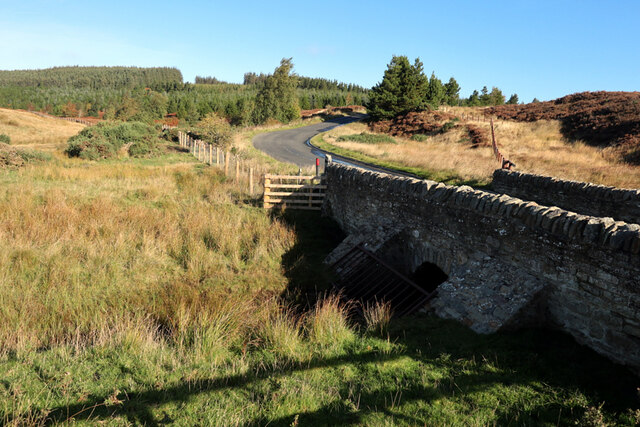
Access to Hotburn Hill is facilitated by well-marked footpaths and trails that cater to walkers of all abilities. The hill is a popular destination for outdoor activities, including hillwalking, birdwatching, and nature photography. Its remote location and unspoiled surroundings ensure a tranquil and immersive experience for those seeking solace in nature.

Overall, Hotburn Hill stands as a majestic landmark within Northumberland, offering visitors a chance to connect with the wild beauty of the Cheviot Hills and experience the untamed allure of the British countryside.

If you have any feedback on the listing, please let us know in the comments section below.
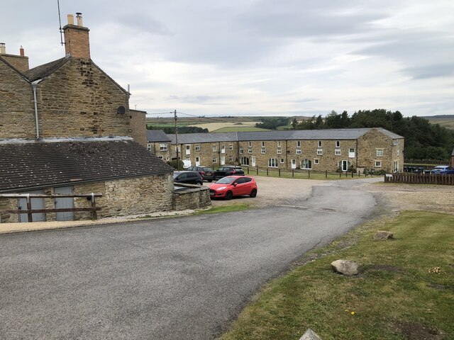
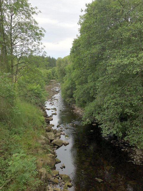
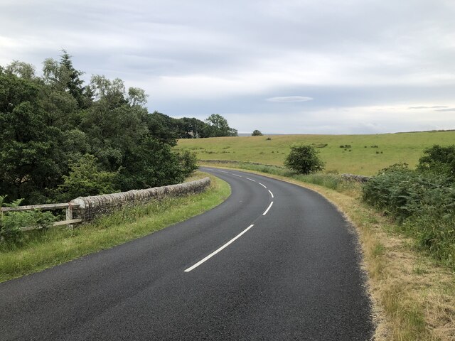
Hotburn Hill Images

Images are sourced within 2km of 54.86151/-2.0409095 or Grid Reference NY9751. Thanks to Geograph Open Source API. All images are credited.

The Square, Blanchland Classic view of Blanchland on a late summer day. The village square is packed with listed buildings - linked here is the Abbey Gatehouse and Post Office - the castellated building in the centre of the picture. <span class="nowrap"><a title="https://historicengland.org.uk/listing/the-list/list-entry/1153918" rel="nofollow ugc noopener" href="https://historicengland.org.uk/listing/the-list/list-entry/1153918">Link</a><img style="margin-left:2px;" alt="External link" title="External link - shift click to open in new window" src="https://s1.geograph.org.uk/img/external.png" width="10" height="10"/></span>
The Square, Blanchland
Classic view of Blanchland on a late summer day. The village square is packed with listed buildings - linked here is the Abbey Gatehouse and Post Office - the castellated building in the centre of the picture. LinkExternal link
Cottages at Shildon In September 1938, A. Wainwright made a solitary walk through the Pennines. The following year he wrote up an account of this walk, which was eventually published in 1986 and is still available.
This new route, developed by David Pitt of the Wainwright Society, is a recreation of this walk adapted for today's roads and rights-of-way, taking a route that Wainwright might have chosen if he was planning it today. Called 'A Pennine Journey' it is a challenging circular walk, 247 miles long divided into 18 stages, passing through the wonderful variety of terrain and scenery that the north of England offers and touching on all the major rivers in the region.
Starting in Settle the route heads north on the eastern side of the Pennines through the delightful Yorkshire Dales and moorland stretches of Co. Durham before arriving at Hadrian’s Wall. This World Heritage site, in the Northumberland National Park, is followed for 21 miles until the route heads south on the western side of the Pennines. After traversing the Pennines just below the highest point of Cross Fell, it enters and travels down the Eden valley before skirting the Howgills Fells then arrives back in Settle.
The walk is divided into 18 daily stages of varying length and offers a choice of possibilities. It can be undertaken as one continuous walk; split at Housesteads on Hadrian’s Wall (Alfred Wainwright’s primary objective) into two stages of roughly 120 miles each; or divided into three stages – eastern, northern and western – of around 80 miles each.
Cottages at Shildon
In September 1938, A. Wainwright made a solitary walk through the Pennines. The following year he wrote up an account of this walk, which was eventually published in 1986 and is still available. This new route, developed by David Pitt of the Wainwright Society, is a recreation of this walk adapted for today's roads and rights-of-way, taking a route that Wainwright might have chosen if he was planning it today. Called 'A Pennine Journey' it is a challenging circular walk, 247 miles long divided into 18 stages, passing through the wonderful variety of terrain and scenery that the north of England offers and touching on all the major rivers in the region. Starting in Settle the route heads north on the eastern side of the Pennines through the delightful Yorkshire Dales and moorland stretches of Co. Durham before arriving at Hadrian’s Wall. This World Heritage site, in the Northumberland National Park, is followed for 21 miles until the route heads south on the western side of the Pennines. After traversing the Pennines just below the highest point of Cross Fell, it enters and travels down the Eden valley before skirting the Howgills Fells then arrives back in Settle. The walk is divided into 18 daily stages of varying length and offers a choice of possibilities. It can be undertaken as one continuous walk; split at Housesteads on Hadrian’s Wall (Alfred Wainwright’s primary objective) into two stages of roughly 120 miles each; or divided into three stages – eastern, northern and western – of around 80 miles each.
Junction of roads at Blanchland The Lord Crewe Arms and the Abbey Gatehouse visible beyond the junction
Junction of roads at Blanchland
The Lord Crewe Arms and the Abbey Gatehouse visible beyond the junction
Beer Garden, Lord Crewe Arms A magnificent setting for a beer garden, showing the rear elevation of the Lord Crewe Arms. The Lord Crewe Arms is a Grade II Listed Building. <span class="nowrap"><a title="https://historicengland.org.uk/listing/the-list/list-entry/1154141#contributions-banner" rel="nofollow ugc noopener" href="https://historicengland.org.uk/listing/the-list/list-entry/1154141#contributions-banner">Link</a><img style="margin-left:2px;" alt="External link" title="External link - shift click to open in new window" src="https://s1.geograph.org.uk/img/external.png" width="10" height="10"/></span>
Beer Garden, Lord Crewe Arms
A magnificent setting for a beer garden, showing the rear elevation of the Lord Crewe Arms. The Lord Crewe Arms is a Grade II Listed Building. LinkExternal link
B6306 towards Blanchland
Grazing, Derwentdale
B6306, Derwentdale Towards Edmundbyers.
B6306, Derwentdale
Towards Edmundbyers.
Ruffside Housing at the hamlet of Ruffside, redeveloped from farm buildings, seen here prior to re-development in this 2006 image by Oliver Dixon: <a href="https://www.geograph.org.uk/photo/282236">NY9951 : Ruffside</a>
Ruffside
Housing at the hamlet of Ruffside, redeveloped from farm buildings, seen here prior to re-development in this 2006 image by Oliver Dixon: NY9951 : Ruffside
River Derwent above Derwent Reservoir
Minor road crossing beck at Tod Hill
Tree beside empty upper reaches of Derwent Reservoir Low water levels in the reservoir during summer 2022. For comparison see this image featuring the same tree by Oliver Dixon: <a href="https://www.geograph.org.uk/photo/6336376">NY9952 : Tree beside the Derwent Reservoir</a>
Tree beside empty upper reaches of Derwent Reservoir
Low water levels in the reservoir during summer 2022. For comparison see this image featuring the same tree by Oliver Dixon: NY9952 : Tree beside the Derwent Reservoir
Farmland and woodland between Cowbyers and the Derwent Reservoir I took this photo (coincidentally) from more or less the same place as <a href="https://www.geograph.org.uk/photo/3310112">NY9751 : Farmland and woodland between Cowbyers and the Derwent Reservoir (January 2013)</a> which shows what the reservoir looks like when it's full.
Farmland and woodland between Cowbyers and the Derwent Reservoir
I took this photo (coincidentally) from more or less the same place as NY9751 : Farmland and woodland between Cowbyers and the Derwent Reservoir (January 2013) which shows what the reservoir looks like when it's full.
Blanchland postal services Post Office and van in this picturesque village.
Blanchland postal services
Post Office and van in this picturesque village.
Blanchland's old school The school closed in the 1980s but found new use as a tea-room serving the many visitors to the village.
Blanchland's old school
The school closed in the 1980s but found new use as a tea-room serving the many visitors to the village.
Blanchland Post Office Blanchland is some distance from any towns but attracts an influx of visitors.
Blanchland Post Office
Blanchland is some distance from any towns but attracts an influx of visitors.
Acton Burn
Acton Burn
Actonmill Bridge
Actonmill Bridge
Ruin near site of Acton High Mill The ruin is named as Acton Mill on the first edition OS map (1865).

The OS Name Book (c.1860) describes "A cottage and garden so called from the Smelting Mill which formerly stood near here" <span class="nowrap"><a title="http://namebooks.org.uk/browse/main/?OSref=411&Page=35.0" rel="nofollow ugc noopener" href="http://namebooks.org.uk/browse/main/?OSref=411&Page=35.0">Link</a><img style="margin-left:2px;" alt="External link" title="External link - shift click to open in new window" src="https://s1.geograph.org.uk/img/external.png" width="10" height="10"/></span> <span class="nowrap"><a title="https://web.archive.org/web/20221009161928/http://namebooks.org.uk/browse/main/?OSref=411&Page=35.0" rel="nofollow ugc noopener" href="https://web.archive.org/web/20221009161928/http://namebooks.org.uk/browse/main/?OSref=411&Page=35.0">Archive Link</a><img style="margin-left:2px;" alt="External link" title="External link - shift click to open in new window" src="https://s1.geograph.org.uk/img/external.png" width="10" height="10"/></span>

A property shown as High Actonmill, about 250m to the north-east, is described in the Name Books as "A small cottage with garden attached occupying a very bleak situation. It derives its name from a Smelting Mill which formerly stood South East of this cottage". <span class="nowrap"><a title="http://namebooks.org.uk/browse/main/?OSref=411&Page=17.0" rel="nofollow ugc noopener" href="http://namebooks.org.uk/browse/main/?OSref=411&Page=17.0">Link</a><img style="margin-left:2px;" alt="External link" title="External link - shift click to open in new window" src="https://s1.geograph.org.uk/img/external.png" width="10" height="10"/></span> <span class="nowrap"><a title="https://web.archive.org/web/20221009162706/http://namebooks.org.uk/browse/main/?OSref=411&Page=17.0" rel="nofollow ugc noopener" href="https://web.archive.org/web/20221009162706/http://namebooks.org.uk/browse/main/?OSref=411&Page=17.0">Archive Link</a><img style="margin-left:2px;" alt="External link" title="External link - shift click to open in new window" src="https://s1.geograph.org.uk/img/external.png" width="10" height="10"/></span>
Ruin near site of Acton High Mill
The ruin is named as Acton Mill on the first edition OS map (1865). The OS Name Book (c.1860) describes "A cottage and garden so called from the Smelting Mill which formerly stood near here" LinkExternal link Archive LinkExternal link A property shown as High Actonmill, about 250m to the north-east, is described in the Name Books as "A small cottage with garden attached occupying a very bleak situation. It derives its name from a Smelting Mill which formerly stood South East of this cottage". LinkExternal link Archive LinkExternal link
Show me another place!

Hotburn Hill is located at Grid Ref: NY9751 (Lat: 54.86151, Lng: -2.0409095)

Unitary Authority: Northumberland

Police Authority: Northumbria

What 3 Words

///meaty.issued.texts. Near Slaley, Northumberland

Nearby Locations

Hotburn Hill

Related Wikis

Blanchland Abbey

Blanchland Abbey at Blanchland, in the English county of Northumberland, was founded as a premonstratensian priory in 1165 by Walter de Bolbec II, and...
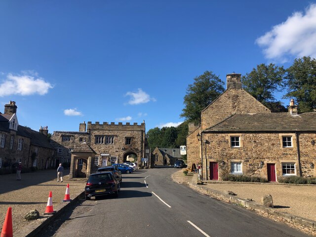
Blanchland

Blanchland is a village in Northumberland, England, on the County Durham boundary. The population of the civil parish at the 2011 census was 135. Set beside...

Baybridge, Northumberland

Baybridge is a small village in Northumberland, England, just to the west of Blanchland and on the border with County Durham. It is situated to the west...

Pow Hill Bog

Pow Hill Bog is a Site of Special Scientific Interest in the Wear Valley district of County Durham, England. It lies alongside Derwent Reservoir, approximately...

Nearby Amenities

Located within 500m of 54.86151,-2.0409095
Hotburn Hill
Place: locality
Lat/Long: 54.8616654/-2.0413359
The data included in this document is from www.openstreetmap.org. The data is made available under ODbL.

Have you been to Hotburn Hill?

Leave your review of Hotburn Hill below (or comments, questions and feedback).